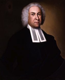
Sandwich dates to 1637, and 7 of its places are on the National Register
More historic than 88% of U.S. towns · #161 of 283 in Massachusetts. What drives it
Most of Sandwich was built recently: 8% of its homes predate 1940 and the median home dates from 1982. 7 places in town are on the National Register, among them four historic districts with 473 buildings between them. Below: 14 old photos and papers, maps from 1915 on, and the census since 1790.
Founding year: Wikidata. First post office: 1793.The full story ↓
History grade
What drives Sandwich’s History grade
On its age, its old homes and the National Register, Sandwich is more historic than 88% of U.S. towns, #161 of 283 in Massachusetts. Its age holds the grade up; its share of homes from before 1940 pulls it down.
A
HistoryA character grade: shown, never part of Sandwich’s overall grade.
Massachusetts towns list more on the Register than most of the country (a typical Massachusetts town has 46.0 per 10,000 residents, the U.S. 2.4), so Sandwich’s 237 sits above most of its state (79% of Massachusetts towns have fewer) while its 486 historic buildings outnumber those of 97% of U.S. towns.
How sure. Graded on any two of the three inputs instead, the letter would range from B+ to A+. The pre-1940 share (±2.9 points) is firm at this size. Two sources give 1637.
Founding year: Wikidata (other dates in Quick answers). Homes: Census ACS 2020–24. National Register: National Park Service, May 2026 list; each listing counted once (boundary changes and added documentation belong to their listing), and a historic district counts its contributing buildings. How TownRatings grades history →
What stands out about Sandwich’s past
Read from the archive, the National Register and the record. The page puts what stands out first.
Cape Cod was inhabited by American Indians prior to European colonization. Sandwich was occupied by the Eastern Algonquian speaking Wampanoag tribe who aided the Pilgrims of Plymouth Colony in the 1620s. The Mashpee Wampanoag Tribe still live on Cape Cod and are making efforts to revive the Wampanoag language.
A group of settlers from Saugus, Massachusetts, colonized Sandwich in 1637 with the permission of the Plymouth Colony. It is named for the seaport of Sandwich, Kent, in England. It was incorporated in 1639 and is the oldest town on Cape Cod, together with Yarmouth. The western portion of the town was separated from the original Town of Sandwich and became the town of Bourne in 1884.
the law-books among the citizens according to the last year's country's rate."— -Mr. Thos. Dexter Sr. died this year, Dec. 29.1 every the sd. granted premises belonging or any wise appertaining, to be end remain to the sd. town of Sandwich and to the several proprietors thereof according to their and each and every one of their common or particular interest, right, tide, and proprietry unto the sd. lands or other the premises, or unto any part or parcel thereof by grant or allowance of sd.
Text read by machine from the scan; it may contain errors.
History of Barnstable County, Massachusetts, 1620-1637-1686-18901890 · page 189Read the page →
Read the text
The building of this meeting house was authorized by the following minutes of Sandwich monthly meeting: "At our monthly meeting, at our meeting house in Sandwich the 2d of the 7th month, 1720, were the several weekly meetings belonging to the same, called on : For Sandwich John Wing and Edward Perry present, for Falmouth Richard Landers and Stephen Harper present, for Yarmouth none appears. At this meeting it is agreed and concluded that there be a meeting house built at Falmouth, and Friends subscribed towards the
Text read by machine from the scan; it may contain errors.
History of Barnstable County, Massachusetts, 1620-1637-1686-18901890Read the page →
Read the text
Villages. — The history of the village of Sandwich and that of the town are so inseparably blended during the first 150 years of their growth, that either would compose the warp or the woof of the fabric presented to the reader at the close of the 18th century. The threescore families who first settled in 1637 the plantation of Sandwich, had formed the nucleus of this principal village which so prominently marked the town in its industries and growth during the period mentioned. Early in its history the village of Sandwich was the
Text read by machine from the scan; it may contain errors.
The Cape Cod Railroad, passing through the town, haying depots or stations at Cohasset, Monument, North Sandwich, West Sandwich, Sandwich, and Spring Hill, has, of course, changed very much the mode of travel, and may, possibly, have quickened the enterprise of the place.
Text read by machine from the scan; it may contain errors.
Scans and text from the Internet Archive. Books published in 1930 or earlier, which are in the public domain.
By decade
Sandwich, decade by decade
4 decades in the archive, from the 1860s to the 1930s. Scroll each row; tap a photo for its story.
Nothing in the archives for these yearsWeddings on Main Street, storms, parades, school pictures, the old store. If it’s in your family album, it belongs here.
In 1637, according to Wikidata. Sandwich’s post office opened in 1793, and the first U.S. census counted 1,991 people here in 1790.
How does Sandwich rank for history?
Sandwich is more historic than 88% of U.S. towns, #161 of 283 in Massachusetts. The History grade combines the town’s founding era, the share of homes built before 1940 and its National Register listings. It’s a character grade, so it isn’t part of the overall grade. How it works.
What is on the National Register in Sandwich?
7 listings: 4 buildings and 4 historic districts with 473 contributing buildings. 486 historic buildings in all.
How old are the homes in Sandwich?
8% of Sandwich’s homes were built before 1940 (Census estimate, ±2.9 points), against a typical 21% for a Massachusetts town; the median home was built in 1982.
Founding dates: Wikidata, Wikipedia, the U.S. post office records of Blevins & Helbock (CC0) and the Census. Homes by year built: Census ACS 2020–24. National Register of Historic Places: National Park Service (list of May 22, 2026). Old photos, postcards and papers: Wikimedia Commons, the Library of Congress and other public archives, credited on each item’s page. Maps: U.S. Geological Survey historical topographic maps (via Esri) and Sanborn fire-insurance maps (Library of Congress). History text and census tables: Wikipedia (CC BY-SA 4.0). Places that used to be: USGS Geographic Names Information System (2021).
From Wikimedia Commons (14), Wikidata (4), the National Register of Historic Places (8), Wikipedia, Wikidata and Wikipedia for famous people, U.S. Geological Survey historical maps, U.S. Census counts (via Wikipedia), the US Post Offices dataset (Blevins & Helbock), the USGS Geographic Names Information System, Sanborn fire insurance maps (Library of Congress) and old county and town histories (Internet Archive). Archive images are copied here with their credits and licenses, shown on each photo’s page. Refreshed monthly.


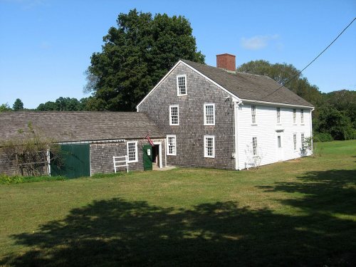
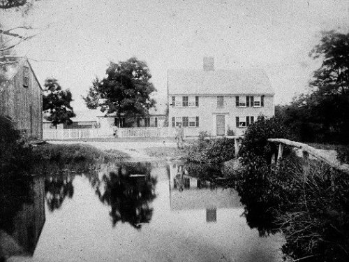
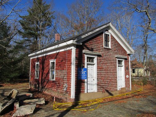

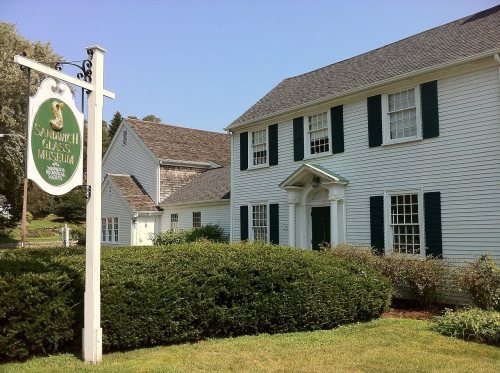

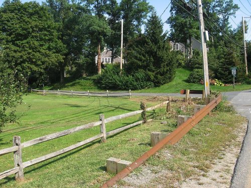


 c. 1863
 c. 1863
 c. 1863
 c. 1863
 c. 1863
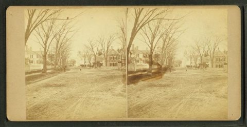 c. 1863
 c. 1863
 1907–1915
 c. 1930
 c. 1930