259 years in pictures
Census counts: 449 in 1790, a low of 141 in 1930, 819 in 2020. The archive holds 19 old photos and papers going back to 2007 and 8 maps from 1887 on.
- 1767Montgomery is settled
Each edition grades its towns against each other only.

Of the 284 Massachusetts towns we compare, none has a lower share of working residents who work in town than Montgomery. 35% of the land in Montgomery is conserved, above both Massachusetts’ towns (19%) and U.S. towns (4.3%). Westfield Watershed Wildlife Conservation Easement, at 2,323 acres with 10.9 miles of trail, is the biggest park or preserve. Montgomery has fewer than 1,000 residents, too few for fair grades; the figures below are still real.
Where Montgomery beats most towns.
Census counts: 449 in 1790, a low of 141 in 1930, 819 in 2020. The archive holds 19 old photos and papers going back to 2007 and 8 maps from 1887 on.
Museums, parks, gardens and other places to visit around Montgomery. Close and well known come first.
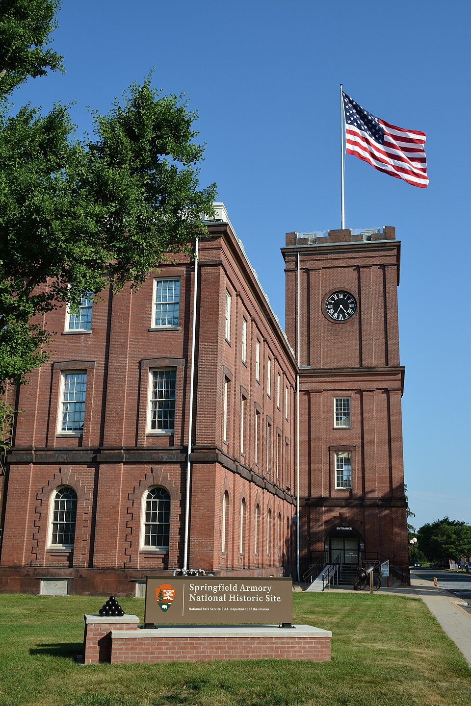
15 mi National Historic SiteSpringfield Armory National Historic Site14K visitors a year
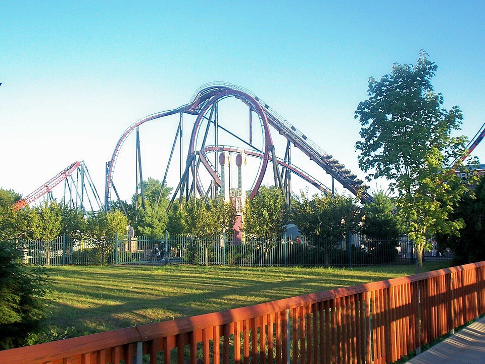
17 mi Theme parkSix Flags New England
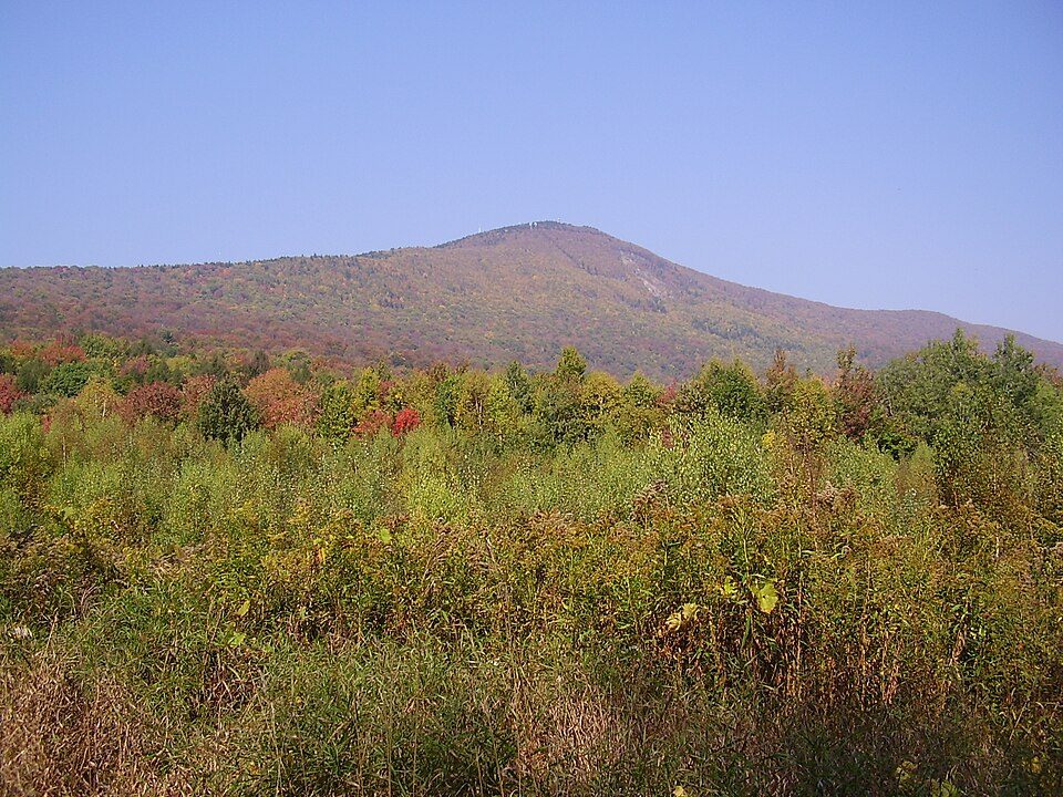
33 mi MountainMount Greylock
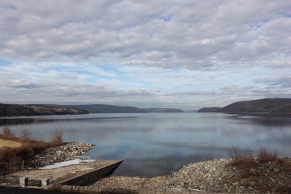
29 mi LakeQuabbin Reservoir
32 mi Stadium & arenaPeoplesBank Arena
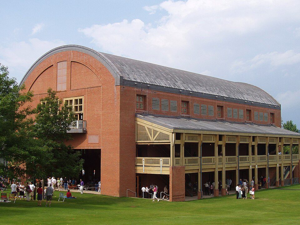
26 mi TheatreTanglewoodSpringfield Armory National Historic Site: National Park Service, Public domain · Six Flags New England: Canadaolympic989, Public domain · Mount Greylock: Jstergis, CC BY 3.0 · Quabbin Reservoir: engineerchange, CC BY 2.0 · PeoplesBank Arena: PeoplesBank Arena, CC BY 2.5 · Tanglewood: Daderot., CC BY-SA 3.0
Who provides power, water and the rest in Montgomery, and how to reach them.
EPA SDWIS (Oct 9, 2026) · HIFLD + EIA-861 2025 · Census 2020 ZCTAs · NCES 2024–25 · registration: vote.gov, updated Nov 18, 2024.
Ordered by what stands out in Montgomery.
21 miles of trail in 3 parks and preserves. At 1.4 miles per square mile, Montgomery’s trail density is below the Massachusetts town median (1.8) but above the median of U.S. towns (0.4).
| Biggest places to walk | Trails | Acres |
|---|---|---|
| 1. Westfield Watershed Wildlife Conservation Easement | 10.9 mi | 2,323 |
| 2. Tekoa Mountain Wildlife Management Area | 3.4 mi | 624 |
| 3. Grace A. Robson Sanctuary | 0.9 mi | 50 |
Trails & parks © OpenStreetMap contributors · Conserved land: USGS PAD-US
1.5% of Montgomery residents live below the poverty line. Most working residents leave Montgomery for work: only 0% work in town. The median household income in Montgomery is $123,000.
| Montgomery | Massachusetts towns | U.S. towns | |
|---|---|---|---|
| Average trip to work | 36 minutes | 30 minutes | 25 minutes |
| Below the poverty line | 1.5% | 6% | 9.6% |
| Median household income | $123,000 | $120,000 | $80,000 |
Census LEHD 2023 · ACS
96% of households own their home in Montgomery. Typical home values rose 5.4% in the year to September 2026.
Census ACS, 2020–24 · Zillow Home Value Index · Redfin Data Center
Adults 18 to 34 are 12% of residents (24% statewide); people 65 and older are 25% of residents (18% statewide). Montgomery’s median age is 49.7 years. Montgomery has grown 2.7% since 2020, to 838 residents in the Census Bureau’s 2025 estimate.
| Montgomery | Massachusetts towns | U.S. towns | |
|---|---|---|---|
| Median age | 49.7 years | 43.4 years | 40.5 years |
| Bachelor’s degree or more, 25+ | 38% | 47% | 29% |
| Under 18 | 22% | 20% | 22% |
52% women, 48% men
That’s an even split within the survey’s margin of ±6 points. Across Massachusetts, 51.1% of residents are women.
| Montgomery | MA | U.S. | |
|---|---|---|---|
| Under 10 | 8.3% | 10.2% | 11.6% |
| 10 to 17 | 13.7% | 9.2% | 10.3% |
| 18 to 24 | 2.9% | 9.8% | 9.1% |
| 25 to 34 | 9.5% | 14% | 13.7% |
| 35 to 44 | 8.8% | 13% | 13.2% |
| 45 to 54 | 13.1% | 12.3% | 12.2% |
| 55 to 64 | 18.8% | 13.6% | 12.7% |
| 65 to 74 | 16% | 10.5% | 10.2% |
| 75 and older | 8.9% | 7.4% | 7% |
| No diploma | 2.8% | 8.6% | 10.4% |
| High school | 37.3% | 22.6% | 26% |
| Some college | 10.9% | 14.1% | 19.1% |
| Associate’s | 10.9% | 7.5% | 8.8% |
| Bachelor’s | 21.1% | 25.5% | 21.6% |
| Graduate | 17.1% | 21.8% | 14.1% |
Census population estimates, 2025 · U.S. Census Bureau · ACS 2020-2024 5-year estimates · in a town of 800, single groups can be off by several points
Montgomery has cold, snowy winters and pleasant summers, with plenty of rain. July afternoons reach 83°, January nights drop to 15° and about 37 inches of snow falls in a winter.
NOAA U.S. Climate Normals, 1991–2020
Expected storm and flood damage is higher than in 63% of U.S. communities.
FEMA National Risk Index · OpenFEMA
2 crimes were reported in Montgomery in 2025: 2 property and 0 violent. In a town this small, a few incidents move the numbers a lot, so rates aren't shown.
Montgomery is small, so we show counts rather than rates.
FBI crime data, 2025 · crimes reported to police
Montgomery beats the Massachusetts average on 0 of 32 CDC measures and trails it on 7. Only 5 of the 280 Massachusetts towns we compare have a higher share of adults who have been diagnosed with depression than Montgomery.
| Montgomery | Massachusetts towns | U.S. towns | |
|---|---|---|---|
| Depression (CDC PLACES) | 28% | 24% | 23% |
| Feel lonely (CDC PLACES) | 36% | 33% | 33% |
| Frequent physical distress (CDC PLACES) | 14% | 12% | 14% |
| Obesity (CDC PLACES) | 31% | 28% | 35% |
| What stands out | Montgomery | MA |
|---|---|---|
| More adults with COPD | 7.1% | 5.9% |
| More adults with depression | 28.4% | 23.8% |
| More smokers | 13.4% | 11.3% |
CDC PLACES 2025 · modeled estimates for adults · CMS · HRSA
6 within 15 miles of the center of Montgomery
About 4 of every 100 Montgomery residents are enrolled in college, against 8 across Massachusetts.
In a town this size, neighbors are the best guide. Ask them anything.
Town in Massachusetts, United States
Montgomery is a town in Hampden County, Massachusetts, United States. The population was 819 at the 2020 census. It is part of the Springfield, Massachusetts Metropolitan Statistical Area.
From Wikipedia, licensed CC BY-SA 4.0 · facts via Wikidata (CC0)
Short answers, built from the data on this page.
Montgomery has fewer than 1,000 residents, too few for fair grades; the figures below are still real.