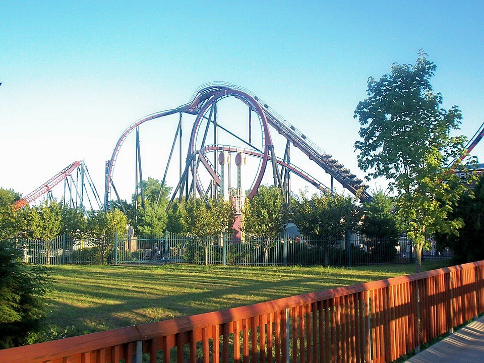
Six Flags New England
Six Flags New England is an amusement park located. Locally, it belongs to Agawam Town. Close by, Springfield Armory is 5.2 mi away.

A theme park inside Agawam Town
Open April through Early November
Six Flags New England is a seasonal theme park: open April through Early November. Check its calendar for the days and hours. When to go ↓
62 rides and 12 roller coasters
Including 1 water ride, on 235 acres. Open since 1870. About ↓
West Springfield Town is the nearest base
West Springfield Town is 6 miles north, with 23 places to stay. Where to stay ↓
A day trip from Boston
Boston is about 85 miles east (straight-line). Where to stay ↓
Open since 1870
Six Flags New England opened in 1870, 156 years ago. About ↓
Written from NOAA 1991–2020 normals, Overture places to stay, Census town figures and Wikipedia.
Open April through Early November
Typical highs and lows in Agawam Town. Gray months it’s closed. Green months are open and mild.
Six Flags New England
Six Flags New England is an amusement park located in Agawam, Massachusetts. Opening in the late 19th century, it is the oldest amusement park in the Six Flags chain, acquired by Premier Parks in 1996 and rebranded Six Flags New England in 2000. Superman The Ride is among the park's most notable rides, having appeared as a highly ranked roller coaster in the annual Golden Ticket Awards from Amusement Today since the ride opened in 2000.
- Type
- Theme park
- Season
- April through Early November
- Rides
- 62 · 12 roller coasters · 1 water ride
- Opened
- 1870
- Area
- 235 acres
- Owner
- Six Flags
- Wikipedia readers
- 43K a year
Hotels and campgrounds near Six Flags New England
Places to stay start in West Springfield Town (23) and Springfield (14).
Compare 8 towns
| Town | From Six Flags New England | Drive | Places to stay | People | Typical home | Safety |
|---|---|---|---|---|---|---|
| Agawam Town | in town | — | 2 1 inn or B&B · 1 lodge or cabins | 28,783 | $312K | C+ |
| West Springfield Town | 6 mi north | 10 min | 23 17 hotels · 4 motels · 2 inns & B&Bs | 28,829 | $322K | D |
| Springfield | 7 mi northeast | 10 min | 14 13 hotels · 1 inn or B&B | 154,702 | $245K | D |
| Windsor Locks | 8 mi south | 10 min | 13 11 hotels · 2 motels | 12,617 | $259K | B |
| Chicopee | 10 mi north | 15 min | 9 4 hotels · 3 motels · 1 lodge or cabins · 1 campground | 55,310 | $275K | C− |
| Windsor | 12 mi south | 20 min | 9 6 hotels · 1 motel · 1 inn or B&B · 1 campground | 29,879 | $305K | B− |
| Holyoke | 12 mi north | 20 min | 9 9 hotels | 38,023 | $274K | D− |
| Enfield | 5 mi southeast | 5 min | 4 3 hotels · 1 motel | 41,142 | $253K | C+ |
Day trip from
Straight-line miles.
Getting there
Nearest airports with airline service
After Six Flags New England
You can reach each of these within 70 miles.
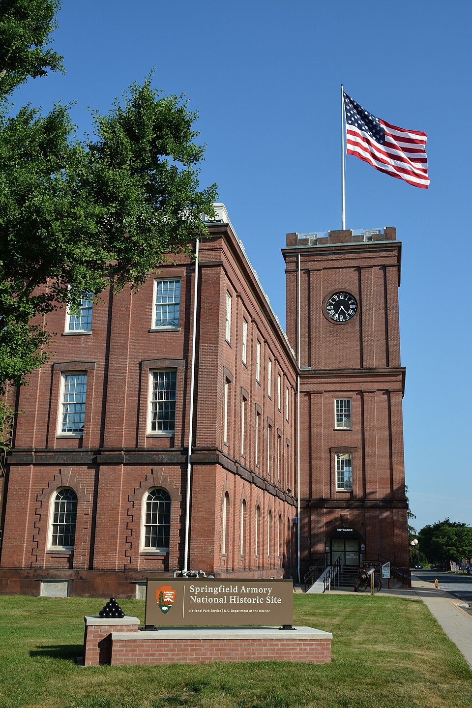 15 mi National Historic SiteSpringfield Armory National Historic Site14K visitors a year
 Big draw40 mi LakeLake Chaubunagungamaug
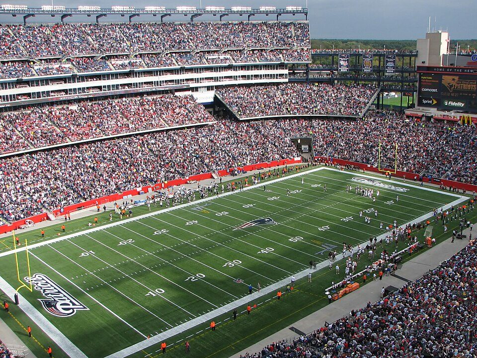 Big draw69 mi Stadium & arenaGillette Stadium
 219 mi Stadium & arenaPeoplesBank Arena
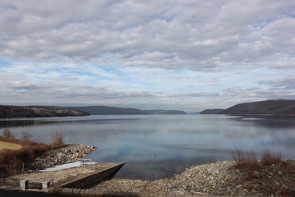 327 mi LakeQuabbin Reservoir
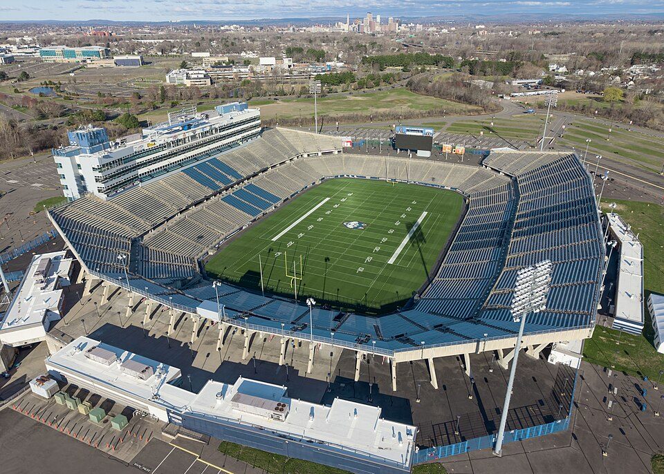 419 mi Stadium & arenaPratt & Whitney Stadium
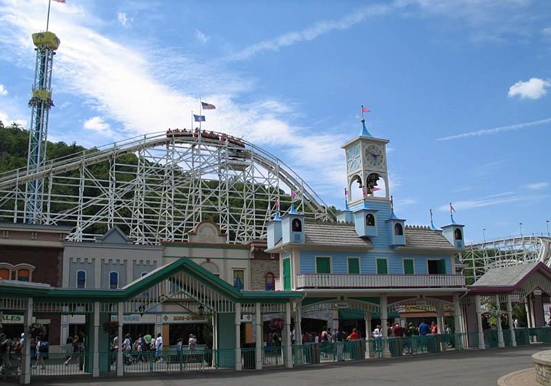 32 mi Theme parkLake Compounce
 55 mi Stadium & arenaMassMutual Center
Photo credits
Springfield Armory National Historic Site: National Park Service, Public domain · Lake Chaubunagungamaug: Bree from Worcester, MA, USA, CC BY-SA 2.0 · Gillette Stadium: Bernard Gagnon, CC BY-SA 3.0 · PeoplesBank Arena: PeoplesBank Arena, CC BY 2.5 · Quabbin Reservoir: engineerchange, CC BY 2.0 · Pratt & Whitney Stadium: Quintin Soloviev, CC BY 4.0 · Lake Compounce: Wildcat1 at English Wikipedia, Public domain · MassMutual Center: John Phelan, CC BY-SA 3.0


Six Flags New England in questions
When is Six Flags New England open?
April through Early November. Check its calendar for the days and hours, which change through the season.
Is Six Flags New England in Agawam Town?
Yes. It’s inside Agawam Town, MA.
When is the best time to visit Six Flags New England?
May, June, August, September and October, with highs of 63–83°.
How far is Six Flags New England from Brookhaven and Boston?
About 83 miles south of Brookhaven and about 85 miles east of Boston, as the crow flies.
What is the closest airport to Six Flags New England?
Bradley (BDL), about 8 miles away.
How many roller coasters does Six Flags New England have?
12, among 62 rides (including 1 water rides).
Where should I stay near Six Flags New England?
West Springfield Town (6 mi, 23 places to stay), Springfield (7 mi, 14 places to stay) and Windsor Locks (8 mi, 13 places to stay).
Advice from Agawam Town
Start the conversation in Agawam Town’s Town Square.
Sources: National Park Service · ski areas © OpenSkiMap / OpenStreetMap contributors · Wikidata · Wikipedia readership · NOAA climate normals · U.S. Census.