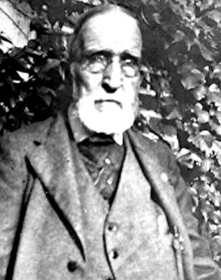
Founding year: Wikidata; Wikipedia’s history section gives the same year. First post office: 1799.The full story ↓
History grade
What drives Blandford’s History grade
On its age, its old homes and the National Register, Blandford is more historic than 88% of U.S. towns. Its age holds the grade up; its National Register listings pull it down.
A
HistoryA character grade: shown, never part of Blandford’s overall grade.
Massachusetts towns list more on the Register than most of the country (a typical Massachusetts town has 46.0 per 10,000 residents, the U.S. 2.4), so Blandford’s 8.7 sits below most of its state (26% of Massachusetts towns have fewer) while its 1 listings outnumber those of 51% of U.S. towns.
How sure. Graded on any two of the three inputs instead, the letter would range from B+ to A+. The pre-1940 share is a Census survey estimate (±10.0 points). Two sources give 1735.
Founding year: Wikidata (other dates in Quick answers). Homes: Census ACS 2020–24. National Register: National Park Service, May 2026 list; each listing counted once (boundary changes and added documentation belong to their listing), and a historic district counts its contributing buildings. How TownRatings grades history →
What stands out about Blandford’s past
Read from the archive, the National Register and the record. The page puts what stands out first.
Blandford was first settled in 1735 primarily by Scots-Irish settlers and was officially incorporated on November 10, 1741. Because of these Scots-Irish families, Blandford was originally called "New Glasgow" after Glasgow, Scotland, but was renamed "Blandford" at the time of incorporation. While the petition of incorporation from the settlers asked that the town be named "Glascow" (as misspelled in source document), William Shirley, the newly appointed governor of the province of Massachusetts, ignored their request and named the town "Blandford" after the ship that brought him from England.,
and the brick and tile works, the latter an industry of much importance in the locality. The Blandford brick and tile works has been a local interest for twelve or fifteen years, but originally was located in the town of Blandford, from whence comes the greater part of the raw material now used. The works are operated with Worcester capital, employ local wage earners, and under the capable management of W. S. Lincoln comprise one of the best business concerns of the town.
Text read by machine from the scan; it may contain errors.
An address, delivered in the new court house, in Springfield, Hampden County, Massachusetts, at the dedication of the same, April 28, 18741874 · page 72Read the page →
Read the text
himself as a debater. He at length entered his name, as a student at law, in the office of Gen. Alanson Knox, of Blandford. He soon mastered the ordinary routine of country practice, and was accustomed to attend justice's trials in Blandford and in the neighboring towns, encountering, sometimes, the lawyers in the vicinity, and sometimes their students. At the time of his admission to the bar, he enjoyed the reputation of being an able and acute practitioner.
Text read by machine from the scan; it may contain errors.
sportation of merchandise was by horses and wagons— a time when the mountain farmer could sell all his farm produced right at the village of Chester Centre. Another important highway, branching oif from the road to Beeket, leads to Blandford. The road to Beeket was part of an old turnpike known as the Beeket Turnpike, incorporated about the beginning of the nineteenth century.
Text read by machine from the scan; it may contain errors.
An address, delivered in the new court house, in Springfield, Hampden County, Massachusetts, at the dedication of the same, April 28, 18741874 · page 71Read the page →
Read the text
him in labor upon the farm. His time was so well employed, that he was engaged as a school teacher, and taught in the neighboring town of Montgomery at the early age of seventeen years. He afterwards went to Blandford as a clerk in a store. The young men of that town established a lyceum, or debating
Text read by machine from the scan; it may contain errors.
Scans and text from the Internet Archive. Books published in 1930 or earlier, which are in the public domain.
Timeline
Blandford, 1735 to 1982
Woven from the archive, old maps, post office records, the National Register and the people born here.
Nothing in the archives for these yearsWeddings on Main Street, storms, parades, school pictures, the old store. If it’s in your family album, it belongs here.
Nothing in the archives for these yearsWeddings on Main Street, storms, parades, school pictures, the old store. If it’s in your family album, it belongs here.
Nothing in the archives for these yearsWeddings on Main Street, storms, parades, school pictures, the old store. If it’s in your family album, it belongs here.
In 1735, according to Wikidata and Wikipedia’s history of the town. Blandford’s post office opened in 1799, and the first U.S. census counted 1,416 people here in 1790.
How does Blandford rank for history?
Blandford is more historic than 88% of U.S. towns. The History grade combines the town’s founding era, the share of homes built before 1940 and its National Register listings. It’s a character grade, so it isn’t part of the overall grade. How it works.
What is on the National Register in Blandford?
One place: the First Congregational Church of Blandford (listed 1985).
How old are the homes in Blandford?
36% of Blandford’s homes were built before 1940 (Census estimate, ±10.0 points), against a typical 21% for a Massachusetts town; the median home was built in 1966.
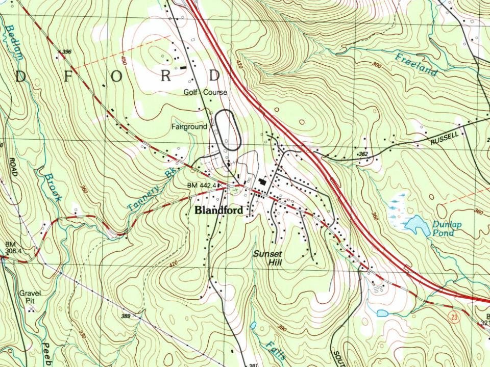
Founding dates: Wikidata, Wikipedia, the U.S. post office records of Blevins & Helbock (CC0) and the Census. Homes by year built: Census ACS 2020–24. National Register of Historic Places: National Park Service (list of May 22, 2026). Old photos, postcards and papers: Wikimedia Commons, the Library of Congress and other public archives, credited on each item’s page. Maps: U.S. Geological Survey historical topographic maps (via Esri) and Sanborn fire-insurance maps (Library of Congress). History text and census tables: Wikipedia (CC BY-SA 4.0). Places that used to be: USGS Geographic Names Information System (2021).
From Wikimedia Commons (5), Wikidata (1), the National Register of Historic Places (1), Wikipedia, Wikidata and Wikipedia for famous people, U.S. Geological Survey historical maps, U.S. Census counts (via Wikipedia), the US Post Offices dataset (Blevins & Helbock), the USGS Geographic Names Information System and old county and town histories (Internet Archive). Archive images are copied here with their credits and licenses, shown on each photo’s page. Refreshed monthly.


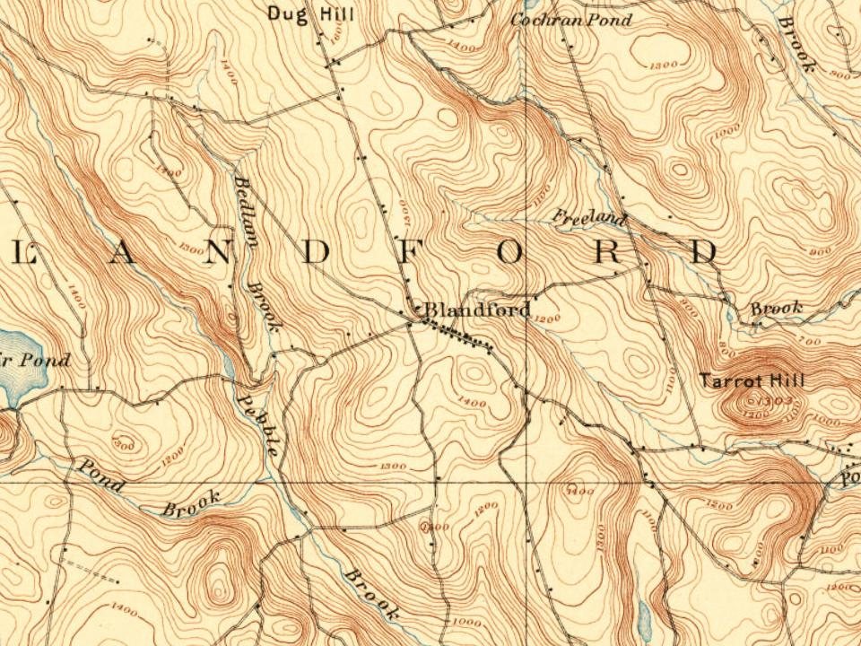


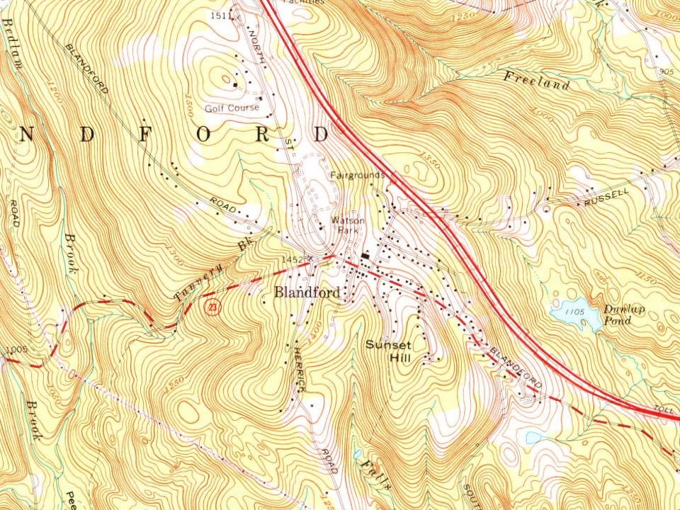
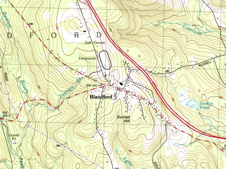


 2008
 2004