Fort Polk
United States Army installation in Vernon Parish, Louisiana, United States, formerly named Fort Johnson.
Each edition grades its towns against each other only.
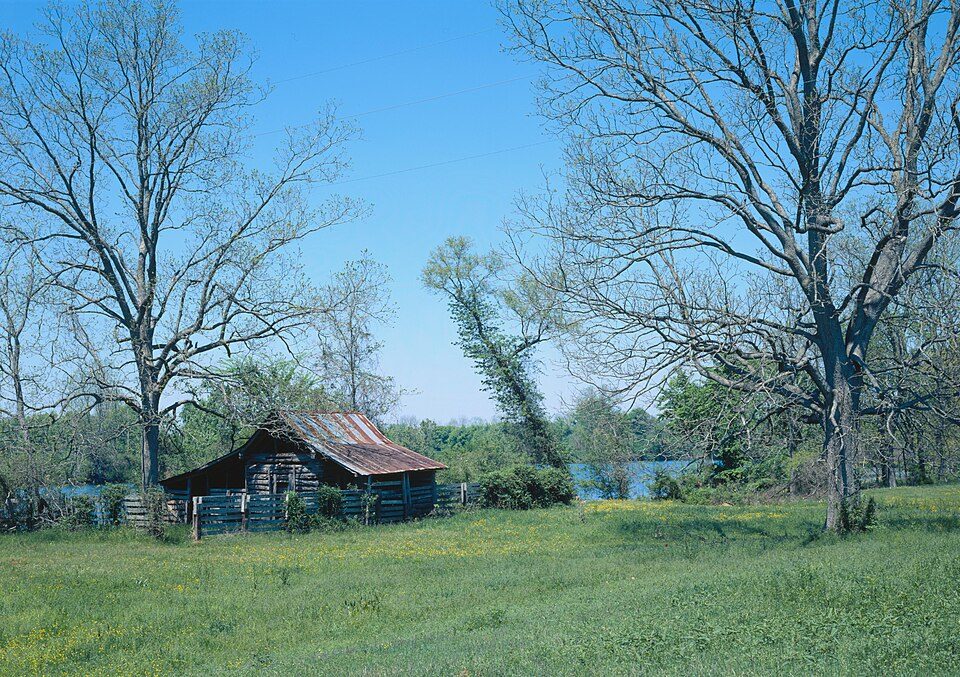
 Prud'homme, Jean Pierre Emmanuel, Oakland Plantation · Photo: Billy Hathorn · CC BY-SA 3.0
Nothing is mapped inside Point Place, but 5 places to visit are within 40 miles. They include an ancient site, a national forest and a national historical park. Yearly visitors to Cane River Creole National Historical Park number about 11K. The big name further out is Fort Polk, 43 mi from the centre.
United States Army installation in Vernon Parish, Louisiana, United States, formerly named Fort Johnson.
The towns around it, and where to stay →
Out at 31 mi is Kisatchie National Forest, the farthest.
Orange: Point Place. Numbers: the best-known places, matching the list below. © OpenStreetMap contributors
These 11 are all within 60 miles.
United States Army installation in Vernon Parish, Louisiana, United States, formerly named Fort Johnson.
National Historical Park of the United States.
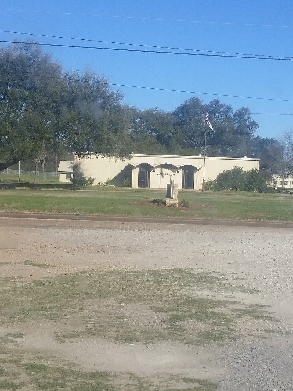
Fish hatchery, public aquarium, and park in Natchitoches, Louisiana, United States.
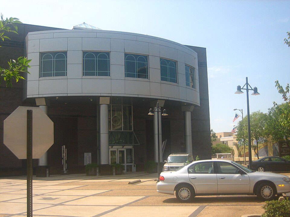
Historic building and museum in Downtown, Natchitoches, Natchitoches Parish, Louisiana, United States.
Ranked by how many people look them up, so the famous places lead and the local favorites follow.
Parks and trails in Point Place → · Point Place’s history →
Driskill Mountain: Fredlyfish4, CC BY-SA 3.0 · Los Adaes: JERRYE & ROY KLOTZ MD, CC BY-SA 3.0 · Kisatchie National Forest: US Forest Service, Public domain · Cane River Creole National Historical Park: James W. Rosenthal, Public domain · Alexandria Museum of Art: Billy Hathorn at en.wikipedia, CC BY-SA 3.0 · Louisiana History Museum: Freeneth at en.wikipedia, Public domain · Natchitoches National Fish Hatchery: Wikilester1999, CC BY-SA 4.0 · Old Courthouse Museum: Wikilester1999, CC BY-SA 4.0
 2
 3
 4
 5
 8
 9
 10
 11


