Mansfield State Historic Site
The Mansfield State Historic Site, also known as the Mansfield Battlefield, is a battlefield in DeSoto Parish, Louisiana.
A museum, 3 mi southeast of Mansfield
Summers are hot
July and August highs run 93–94°, and about 93 days a year reach 90°. When to go ↓
Mansfield is the nearest base
Mansfield is 3 miles northwest, with 9 places to stay. Where to stay ↓
Best months: Mar, Apr, May, Oct and Nov
March, April, May, October and November are the mild months, with highs of 67–83°. When to go ↓
Established in 1924
Mansfield State Historic Site dates from 1924. About ↓
Written from NOAA 1991–2020 normals, Overture places to stay, Census town figures, Wikidata and Wikipedia.
Weather, month by month
Typical highs and lows in Mansfield. Green months are the mild ones.
Mansfield State Historic Site
The Mansfield State Historic Site, also known as the Mansfield Battlefield, is a battlefield in DeSoto Parish, Louisiana. The Louisiana state historic site commemorates the Battle of Mansfield fought on Friday, April 8, 1864, during the Red River Campaign of the American Civil War. The site was listed in the U.S. National Register of Historic Places as the Mansfield Battle Park in 1973. Established in 1924 by the United Daughters of the Confederacy, the site was transferred to the state of Louisiana in 1954.
- Type
- Museum
- Established
- 1924
- Listed
- National Register of Historic Places (1973)
- Wikipedia readers
- 1.1K a year
Where to stay near Mansfield State Historic Site
The closest towns with hotels, motels or campgrounds are Mansfield (9) and Joaquin (3), and Shreveport has the most rooms in the area (81).
Mansfield
The closest town with somewhere to stay.
4,475 people
3 mi northwest of Mansfield State Historic Site
Shreveport
The most places to stay in the area, and a base for a longer trip.
175,902 people
32 mi north of Mansfield State Historic Site
Compare 9 towns
| Town | From Mansfield State Historic Site | Drive | Places to stay | People | Typical home | Safety |
|---|---|---|---|---|---|---|
| Mansfield | 3 mi northwest | 5 min | 9 6 hotels · 1 motel · 1 inn or B&B · 1 RV park | 4,475 | $112K | — |
| South Mansfield | 3 mi west | 5 min | 1 1 lodge or cabins | 344 | — | — |
| Gloster | 15 mi northwest | 20 min | 2 2 campgrounds | 105 | — | — |
| Grand Cane | 10 mi northwest | 15 min | 1 1 inn or B&B | 213 | $235K | — |
| Coushatta | 19 mi east | 30 min | 2 2 inns & B&Bs | 1,623 | $96K | — |
| Logansport | 19 mi west | 30 min | 2 2 RV parks | 1,325 | $127K | — |
| Joaquin | 23 mi west | 35 min | 3 1 hotel · 2 RV parks | 732 | $52K | — |
| Frierson | 16 mi north | 25 min | 1 1 RV park | 78 | — | — |
| Shreveport | 32 mi north | 50 min | 81 63 hotels · 5 motels · 6 inns & B&Bs · 2 lodges & cabins · 5 campgrounds | 175,902 | $179K | D− |
Getting there
Nearest airports with airline service
Also near Mansfield State Historic Site
Other well-known places within 54 miles.
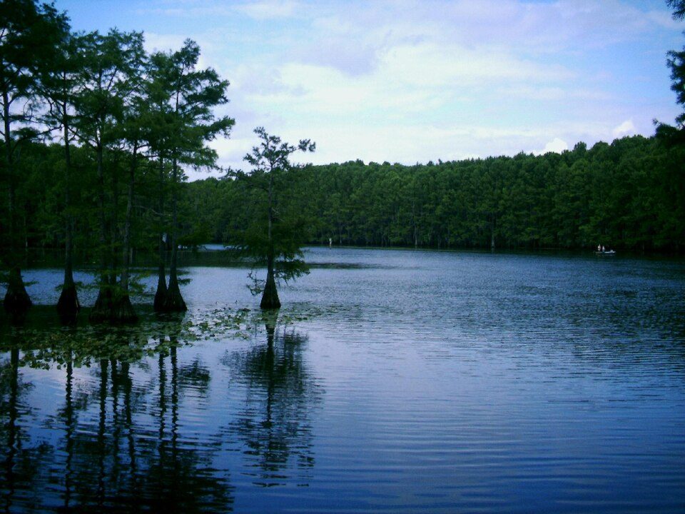 52 mi LakeCaddo Lake
 33 mi Stadium & arenaIndependence Stadium
 53 mi MountainDriskill Mountain
 30 mi Ancient siteLos Adaes
 31 mi Stadium & arenaCenturyLink Center
 35 mi TheatreShreveport Municipal Memorial Auditorium
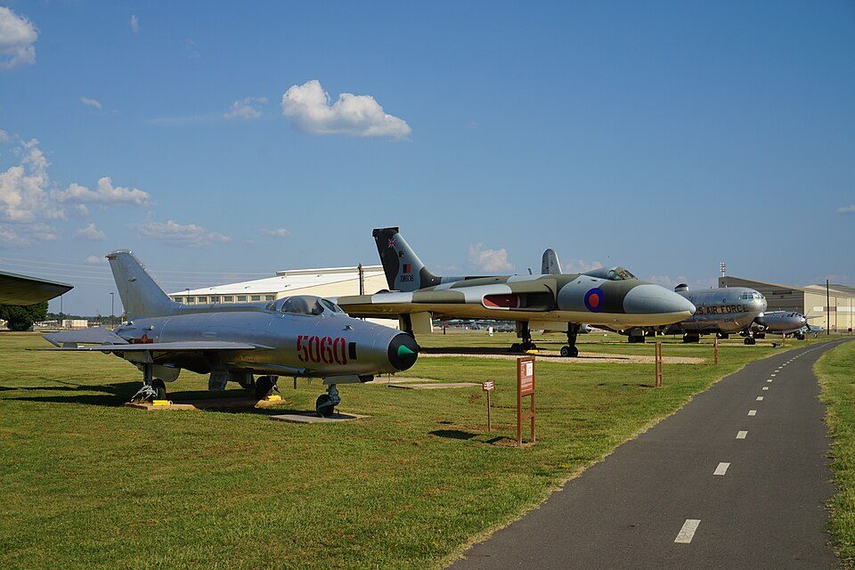 35 mi MuseumEighth Air Force Museum
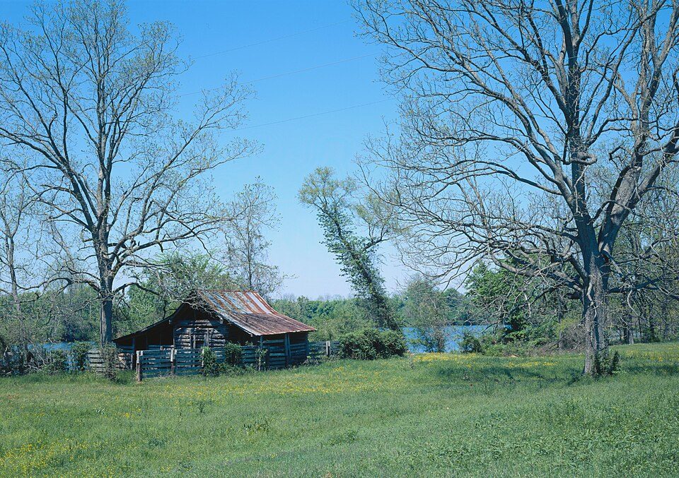 46 mi National Historical ParkCane River Creole National Historical Park11K visitors a year
Photo credits
Caddo Lake: Jay Carriker (User:JCarriker), CC BY-SA 2.5 · Independence Stadium: AllisonFoley, CC BY-SA 3.0 · Driskill Mountain: Fredlyfish4, CC BY-SA 3.0 · Los Adaes: JERRYE & ROY KLOTZ MD, CC BY-SA 3.0 · CenturyLink Center: The original uploader was Dman861 at English Wikipedia., CC BY-SA 2.0 · Shreveport Municipal Memorial Auditorium: Michael Barera, CC BY-SA 4.0 · Eighth Air Force Museum: Michael Barera, CC BY-SA 4.0 · Cane River Creole National Historical Park: James W. Rosenthal, Public domain


Visiting Mansfield State Historic Site
What town is Mansfield State Historic Site near?
Mansfield, LA, about 3 miles northwest.
When is the best time to visit Mansfield State Historic Site?
March, April, May, October and November, with highs of 67–83°.
What is the closest airport to Mansfield State Historic Site?
Shreveport Regional (SHV), about 31 miles away. The nearest big hub is George Bush Intercontinental (IAH), about 172 miles.
Where should I stay near Mansfield State Historic Site?
Mansfield (3 mi, 9 places to stay), Shreveport (32 mi, 81 places to stay) and Joaquin (23 mi, 3 places to stay).
Tips from people in Mansfield
No tips yet. Ask, or answer, in Mansfield’s Town Square.
Sources: National Park Service · ski areas © OpenSkiMap / OpenStreetMap contributors · Wikidata · Wikipedia readership · NOAA climate normals · U.S. Census.