
Los Adaes
Los Adaes, was the capital of Tejas (Texas) on the northeastern frontier of New Spain from 1721 to 1773.

An ancient site, 1 mi northeast of Robeline
Summers are hot
July and August highs run 93–94°, and about 98 days a year reach 90°. When to go ↓
Natchitoches is the nearest base
Natchitoches is 12 miles east, with 42 places to stay. Where to stay ↓
Established in 1721
Los Adaes dates from 1721. About ↓
Best months: Feb, Mar, Apr, Oct and Nov
February, March, April, October and November are the mild months, with highs of 64–80°. When to go ↓
Written from NOAA 1991–2020 normals, Overture places to stay, Census town figures, Wikidata and Wikipedia.
Weather, month by month
Typical highs and lows in Robeline. Green months are the mild ones.
Los Adaes
Los Adaes, was the capital of Tejas (Texas) on the northeastern frontier of New Spain from 1721 to 1773. It included a Franciscan mission, San Miguel de Cuéllar de los Adaes, and a presidio, Nuestra Señora del Pilar de los Adaes (Our Lady of the Pillar of the Adaes). The name Adaes derives from the Indigenous Adai people, members of the Caddoan confederacy of Indians who were the people the missionaries aimed to convert to Christianity. The presidio and mission were established to counter French influence in Louisiana territory and defend New Spain (Mexico, including Texas) from possible invasion or encroachment by the French. In 1763 Louisiana came under the control of Spain and the Los Adaes outpost was no longer necessary for defense. In 1773 the Spanish closed the mission and presidio and forced the population to move to San Antonio.
- Type
- Ancient site
- Established
- 1721
- Listed
- National Historic Landmark · National Register of Historic Places (1978)
- Wikipedia readers
- 11K a year
Where to stay near Los Adaes
The closest towns with hotels, motels or campgrounds are Natchitoches (42) and Point Place (3).
Natchitoches
The closest town with somewhere to stay.
17,146 people
12 mi east of Los Adaes
Compare 8 towns
| Town | From Los Adaes | Drive | Places to stay | People | Typical home |
|---|---|---|---|---|---|
| Natchitoches | 12 mi east | 15 min | 42 15 hotels · 1 motel · 21 inns & B&Bs · 2 lodges & cabins · 2 campgrounds · 1 RV park | 17,146 | $193K |
| Robeline | 1 mi southwest | — | 1 1 inn or B&B | 120 | $123K |
| Point Place | 16 mi east | 25 min | 3 3 inns & B&Bs | 476 | $254K |
| Many | 15 mi southwest | 20 min | 2 2 motels | 2,469 | $117K |
| St. Maurice | 21 mi east | 30 min | 2 2 RV parks | 274 | — |
| Coushatta | 22 mi north | 35 min | 2 2 inns & B&Bs | 1,623 | $96K |
| Zwolle | 21 mi west | 30 min | 1 1 motel | 1,605 | $76K |
| Montgomery | 24 mi east | 35 min | 1 1 lodge or cabins | 628 | $78K |
Getting there
Nearest airports with airline service
Also near Los Adaes
Other well-known places within 62 miles. Numbered ones are on the map above.
 55 mi MountainDriskill Mountain
 60 mi Stadium & arenaIndependence Stadium
 47 mi National forestKisatchie National Forest
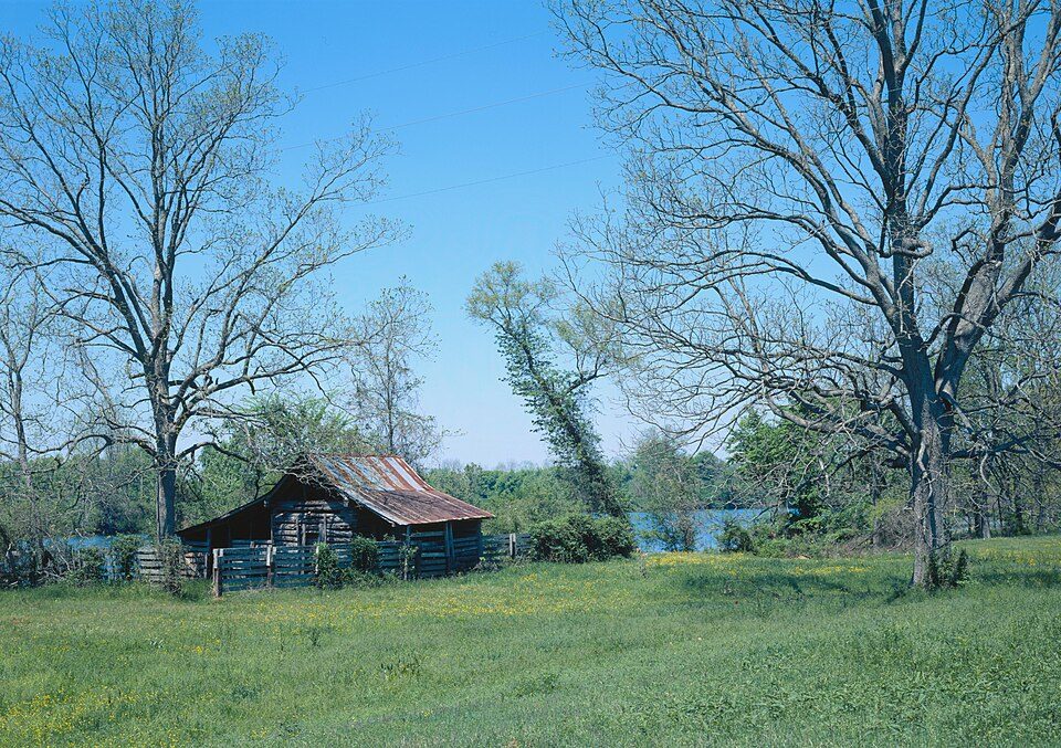 117 mi National Historical ParkCane River Creole National Historical Park11K visitors a year
 57 mi Stadium & arenaCenturyLink Center
 61 mi TheatreShreveport Municipal Memorial Auditorium
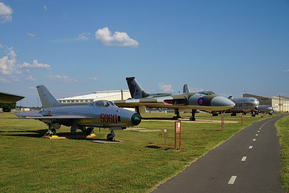 60 mi MuseumEighth Air Force Museum
Photo credits
Driskill Mountain: Fredlyfish4, CC BY-SA 3.0 · Independence Stadium: AllisonFoley, CC BY-SA 3.0 · Kisatchie National Forest: US Forest Service, Public domain · Cane River Creole National Historical Park: James W. Rosenthal, Public domain · CenturyLink Center: The original uploader was Dman861 at English Wikipedia., CC BY-SA 2.0 · Shreveport Municipal Memorial Auditorium: Michael Barera, CC BY-SA 4.0 · Eighth Air Force Museum: Michael Barera, CC BY-SA 4.0


Visiting Los Adaes
What town is Los Adaes near?
Robeline, LA, about 1 miles southwest.
When is the best time to visit Los Adaes?
February, March, April, October and November, with highs of 64–80°.
What is the closest airport to Los Adaes?
Alexandria (AEX), about 51 miles away. The nearest big hub is George Bush Intercontinental (IAH), about 170 miles.
Where should I stay near Los Adaes?
Natchitoches (12 mi, 42 places to stay) and Point Place (16 mi, 3 places to stay).
Tips from people in Robeline
No tips yet. Ask, or answer, in Robeline’s Town Square.
Sources: National Park Service · ski areas © OpenSkiMap / OpenStreetMap contributors · Wikidata · Wikipedia readership · NOAA climate normals · U.S. Census.