
Kisatchie National Forest
Kisatchie National Forest, the only National forest in Louisiana, United States, is located in the forested piney hills and hardwood bottoms of seven central and northern parishes. Its address puts it 10 mi north of Pollock. 1936 is when its story starts.

A national forest, 10 mi north of Pollock
Plan where you’ll sleep
The nearest town with many places to stay is Pineville, 21 miles south. Where to stay ↓
Summers are hot
July and August highs run 92–93°, and about 93 days a year reach 90°. When to go ↓
Best months: Feb, Mar, Apr, Oct and Nov
February, March, April, October and November are the mild months, with highs of 64–80°. When to go ↓
Established in 1936
Kisatchie National Forest dates from 1936. About ↓
Written from NOAA 1991–2020 normals, Overture places to stay, Census town figures, Wikidata and Wikipedia.
Weather through the year
Here are the months at Kisatchie National Forest, with their weather.
Kisatchie National Forest
Kisatchie National Forest, the only National forest in Louisiana, United States, is located in the forested piney hills and hardwood bottoms of seven central and northern parishes. It is part of the Cenozoic uplands (some of Louisiana's oldest rocks) and has large areas of longleaf pine forests (a forest type that has declined significantly over the last century). It is one of the largest pieces of natural landscape in Louisiana, with some 604,000 acres (2,440 km2) of public land, more than half of which is vital longleaf pine and flatwoods vegetation. These support many rare plant and animal species. There are also rare habitats, such as hillside seepage bogs and calcareous prairies.
- Type
- National forest
- Established
- 1936
- Area
- 943 square miles
- Elevation
- 197 ft
- Wikipedia readers
- 9.9K a year
Where to stay near Kisatchie National Forest
Rooms are nearest in Alexandria (44) and Pollock (3).
Alexandria
The closest town with somewhere to stay.
42,938 people
24 mi south of Kisatchie National Forest
Compare 8 towns
| Town | From Kisatchie National Forest | Drive | Places to stay | People | Typical home | Safety |
|---|---|---|---|---|---|---|
| Alexandria | 24 mi south | 35 min | 44 38 hotels · 3 motels · 2 lodges & cabins · 1 campground | 42,938 | $184K | D− |
| Pollock | 10 mi south | 15 min | 3 3 RV parks | 393 | $115K | — |
| Pineville | 21 mi south | 30 min | 6 5 hotels · 1 campground | 13,967 | $202K | — |
| Colfax | 14 mi southwest | 20 min | 2 2 RV parks | 1,393 | $73K | — |
| Ball | 16 mi south | 25 min | 2 1 motel · 1 campground | 3,793 | $176K | — |
| Winnfield | 22 mi north | 30 min | 4 1 hotel · 1 inn or B&B · 1 lodge or cabins · 1 RV park | 4,480 | $81K | D− |
| Joyce | 21 mi north | 30 min | 2 2 RV parks | 189 | — | — |
| Trout | 20 mi east | 30 min | 1 1 campground | 42 | — | — |
Getting there
Nearest airports with airline service
More near Kisatchie National Forest
A wider trip can take in these, within 66 miles.
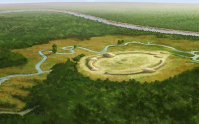 55 mi Ancient siteWatson Brake
 59 mi MountainDriskill Mountain
 47 mi Ancient siteLos Adaes
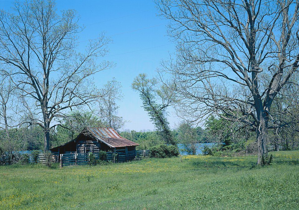 129 mi National Historical ParkCane River Creole National Historical Park11K visitors a year
 65 mi MuseumStanton Hall224 mi Zoo & aquariumAlexandria Zoological Park
 65 mi MuseumRosalie Mansion
Photo credits
Watson Brake: Herb Roe, CC BY-SA 4.0 · Driskill Mountain: Fredlyfish4, CC BY-SA 3.0 · Los Adaes: JERRYE & ROY KLOTZ MD, CC BY-SA 3.0 · Cane River Creole National Historical Park: James W. Rosenthal, Public domain · Stanton Hall: Infrogmation of New Orleans, CC BY-SA 3.0 · Rosalie Mansion: Elisa Rolle, CC BY-SA 3.0


Asked about Kisatchie National Forest
What town is Kisatchie National Forest near?
Pollock, LA, about 10 miles south.
When is the best time to visit Kisatchie National Forest?
February, March, April, October and November, with highs of 64–80°.
What is the closest airport to Kisatchie National Forest?
Alexandria (AEX), about 21 miles away. The nearest big hub is Louis Armstrong New Orleans (MSY), about 175 miles.
Where should I stay near Kisatchie National Forest?
Alexandria (24 mi, 44 places to stay), Pollock (10 mi, 3 places to stay) and Pineville (21 mi, 6 places to stay).
Tips for visiting, from Pollock
Tips will appear here once someone posts in Pollock’s Town Square.
Sources: National Park Service · ski areas © OpenSkiMap / OpenStreetMap contributors · Wikidata · Wikipedia readership · NOAA climate normals · U.S. Census.