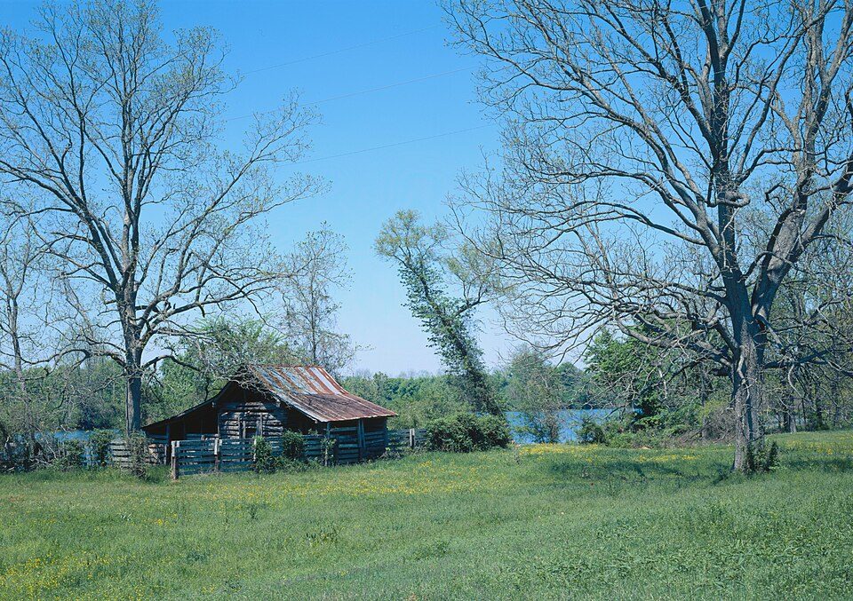
Cane River Creole National Historical Park
The Cane River Creole National Historical Park was established in 1994 to preserve the resources and cultural landscapes of the Cane River region in Natchitoches Parish, Louisiana.

A national historical park, 2 mi southeast of Point Place
March is the busiest month
March averages about 1,668 visitors, 2.8 times January. When to go ↓
Summers are hot
July and August highs run 93–94°, and about 98 days a year reach 90°. When to go ↓
Natchitoches is the nearest base
Natchitoches is 8 miles northwest, with 42 places to stay. Where to stay ↓
Best months: Feb, Oct and Nov
February, October and November are mild and quieter than average, with highs of 64–80°. When to go ↓
Established in 1994
Cane River Creole National Historical Park dates from 1994 and is run by National Park Service. About ↓
Written from National Park Service visitor counts, NOAA 1991–2020 normals, Overture places to stay, Census town figures, Wikidata and Wikipedia. Updated when the Park Service posts a new month.
Crowds and weather, month by month
Bars: average monthly visitors, 2022–2025. Line: the typical afternoon high. Green months are mild and quieter than average.
Cane River Creole National Historical Park
The Cane River Creole National Historical Park was established in 1994 to preserve the resources and cultural landscapes of the Cane River region in Natchitoches Parish, Louisiana. Located along Cane River Lake, the park is approximately 63 acres and includes two French Creole cotton plantations, Oakland and Magnolia. Both plantations are complete in their historic settings, including landscapes, outbuildings, structures, furnishings, and artifacts; and they are the most intact French Creole cotton plantations in the United States. In total, 65 historic structures and over a million artifacts enhance the National Park Service mission as it strives to tell the story of the evolution of plantation agriculture through the perspective of the land owners, enslaved workers, overseers, skilled workers, and tenant farmers who resided along the Cane River for over two hundred years.
- Type
- National Historical Park
- Established
- 1994
- Elevation
- 105 ft
- Run by
- National Park Service
- Listed
- National Register of Historic Places (1994)
- Wikipedia readers
- 3.7K a year
- Official site
- nps.gov/cari
Before you go
Where to stay near Cane River Creole National Historical Park
The closest towns with hotels, motels or campgrounds are Natchitoches (42) and Point Place (3).
Natchitoches
The closest town with somewhere to stay.
17,146 people
8 mi northwest of Oakland Plantation Store · 7 mi to the park
Compare 8 towns
| Town | From the visitor center | Drive | Places to stay | People | Typical home | Safety |
|---|---|---|---|---|---|---|
| Natchitoches | 8 mi northwest | 10 min | 42 15 hotels · 1 motel · 21 inns & B&Bs · 2 lodges & cabins · 2 campgrounds · 1 RV park | 17,146 | $193K | — |
| Point Place | 2 mi northwest | 5 min | 3 3 inns & B&Bs | 476 | $254K | — |
| St. Maurice | 8 mi northeast | 10 min | 2 2 RV parks | 274 | — | — |
| Montgomery | 7 mi east | 10 min | 1 1 lodge or cabins | 628 | $78K | — |
| Colfax | 20 mi southeast | 30 min | 2 2 RV parks | 1,393 | $73K | — |
| Winnfield | 28 mi northeast | 40 min | 4 1 hotel · 1 inn or B&B · 1 lodge or cabins · 1 RV park | 4,480 | $81K | D− |
| Robeline | 18 mi west | 25 min | 1 1 inn or B&B | 120 | $123K | — |
| Many | 29 mi west | 45 min | 2 2 motels | 2,469 | $117K | — |
Getting there
Nearest airports with airline service, from the visitor center
Also near Cane River Creole
Other well-known places within 70 miles. Numbered ones are on the map above.
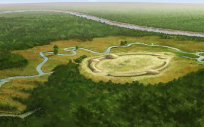 70 mi Ancient siteWatson Brake
 117 mi Ancient siteLos Adaes
 53 mi MountainDriskill Mountain
 229 mi National forestKisatchie National Forest
 68 mi Stadium & arenaCenturyLink Center41 mi Zoo & aquariumAlexandria Zoological Park
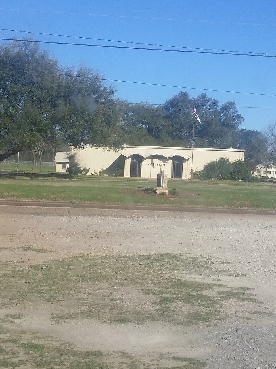 37 mi Zoo & aquariumNatchitoches National Fish Hatchery
Photo credits
Watson Brake: Herb Roe, CC BY-SA 4.0 · Los Adaes: JERRYE & ROY KLOTZ MD, CC BY-SA 3.0 · Driskill Mountain: Fredlyfish4, CC BY-SA 3.0 · Kisatchie National Forest: US Forest Service, Public domain · CenturyLink Center: The original uploader was Dman861 at English Wikipedia., CC BY-SA 2.0 · Natchitoches National Fish Hatchery: Wikilester1999, CC BY-SA 4.0


11,203 visitors in 2025
Every full year the Park Service has counted. 2020 (gold) was the pandemic year. Green is the record (2017).
Visiting Cane River Creole
What town is Cane River Creole National Historical Park near?
Point Place, LA, about 2 miles northwest.
When is the best time to visit Cane River Creole National Historical Park?
February, October and November, with highs of 64–80°. March is the busiest month (about 1,668 visitors).
How many people visit Cane River Creole National Historical Park each year?
11,203 in 2025, according to the National Park Service. The record is 30,117, set in 2017.
What is the closest airport to Cane River Creole National Historical Park?
Alexandria (AEX), about 36 miles away. The nearest big hub is George Bush Intercontinental (IAH), about 181 miles.
Where should I stay near Cane River Creole National Historical Park?
Natchitoches (8 mi, 42 places to stay), Point Place (2 mi, 3 places to stay) and Winnfield (28 mi, 4 places to stay).
Tips from people in Point Place
No tips yet. Ask, or answer, in Point Place’s Town Square.
Sources: National Park Service · ski areas © OpenSkiMap / OpenStreetMap contributors · Wikidata · Wikipedia readership · National Park Service visitor use statistics · NOAA climate normals · U.S. Census.