
Nothing in Flat Lick itself: Daniel Boone National Forest is 32 mi away
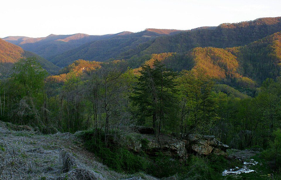
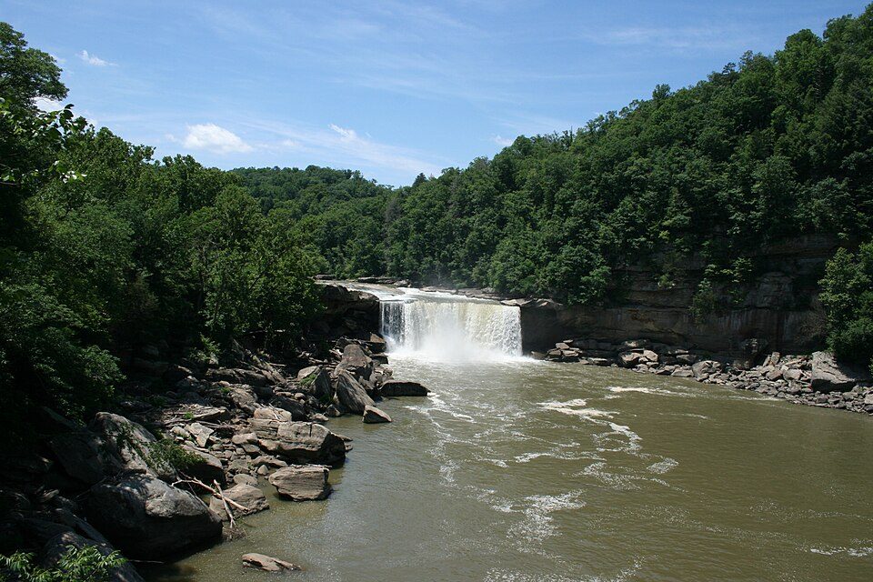
A typical year brings about 2.5M visitors to Daniel Boone National Forest. All of it lies outside: 4 places within 40 miles, none inside Flat Lick. Among them are a national forest, a waterfall and a national historical park. United States Penitentiary is worth a day, 43 mi from the centre.
Cumberland Gap National Historical Park
20,000 acres (Kentucky, Tennessee, and Virginia) operated by the U.S. National Park Service.
The towns around it, and where to stay →
On the map
The outermost point is Cumberland Falls, at 32 mi.
Orange: Flat Lick. Numbers: the best-known places, matching the list below. © OpenStreetMap contributors
The whole list for Flat Lick
All of it lies within 60 miles: 14 places.
 1
 2
 3
 4
Cumberland Gap National Historical Park
20,000 acres (Kentucky, Tennessee, and Virginia) operated by the U.S. National Park Service.
 6
Big South Fork National River and Recreation Area
In northeastern Tennessee and southeastern Kentucky, USA.
 7
 9
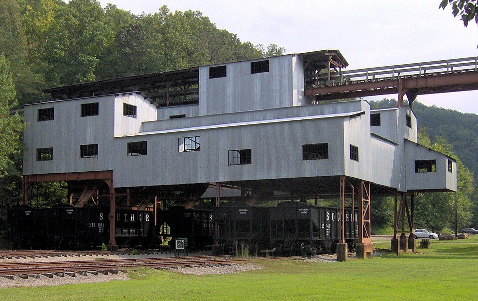
Mill Springs Battlefield National Monument
National monument in Kentucky, United States of America.
 10
 11
 13
 14
Ranked by how many people look them up, so the famous places lead and the local favorites follow.
Parks and trails in Flat Lick → · Flat Lick’s history →
Photo credits
United States Penitentiary: Nyttend, Public domain · Black Mountain: iLoveMountains.org, CC BY 2.0 · Daniel Boone National Forest: Schwaltz, CC BY-SA 3.0 · Cumberland Falls: ChrisKuehl, Public domain · Cumberland Gap National Historical Park: J654567, CC BY-SA 3.0 · Big South Fork National River and Recreation Area: Brian Stansberry, CC BY 3.0 · Museum of Appalachia: Brian Stansberry, CC BY 3.0 · Mill Springs Battlefield National Monument: C. Bedford Crenshaw, Attribution · Blue Heron: Brian Stansberry, CC BY 3.0 · Hensley Settlement: National Park Service, Public domain · Green McAdoo School: Brian Stansberry; modified by Orlady, CC BY 3.0 us · Muse Knoxville: TomasVial, CC0


