
Daniel Boone National Forest
The Daniel Boone National Forest (originally the Cumberland National Forest) is a national forest in Kentucky, United States. On the map, it sits 11 mi northwest of Manchester. In 2004, it drew 2.5M visitors.

A national forest, 11 mi northwest of Manchester
Plan where you’ll sleep
The nearest town with many places to stay is London, 16 miles southwest. Where to stay ↓
Best months: Apr, May, Jun, Sep and Oct
April, May, June, September and October are the mild months, with highs of 70–84°. When to go ↓
Written from NOAA 1991–2020 normals, Overture places to stay, Census town figures, Wikidata and Wikipedia.
The weather by month
Here is how the weather at Daniel Boone National Forest changes month by month.
Daniel Boone National Forest
The Daniel Boone National Forest (originally the Cumberland National Forest) is a national forest in Kentucky, United States. Established in 1937, it includes 708,000 acres (287,000 ha) of federally owned land within a 2,100,000-acre (850,000 ha) proclamation boundary. The name of the forest was changed in 1966 in honor of the explorer Daniel Boone.
The terrain of the forest is generally rugged, and includes multiple prominent water features. It is home to a range of plant and animal species, although many areas still bear evidence of industrial logging and other practices which took place mostly prior to federal protection. It is a popular recreational and tourist destination which serves a million or more visitors a year, and contains several widely recognized areas which are protected in their own right, including state parks, trails, wilderness areas, and landmarks.
- Type
- National forest
- Area
- 876 square miles
- Listed
- National Natural Landmark
- Wikipedia readers
- 15K a year
Nights near Daniel Boone National Forest
Rooms are nearest in London (20) and Manchester (4).
London
The closest town with somewhere to stay.
7,637 people
16 mi southwest of Daniel Boone National Forest
Compare 8 towns
| Town | From Daniel Boone National Forest | Drive | Places to stay | People | Typical home | Safety |
|---|---|---|---|---|---|---|
| London | 16 mi southwest | 25 min | 20 9 hotels · 4 motels · 7 campgrounds | 7,637 | $170K | C− |
| Manchester | 11 mi southeast | 15 min | 4 2 hotels · 1 motel · 1 campground | 1,411 | $141K | B |
| Mount Vernon | 26 mi west | 40 min | 12 8 hotels · 2 motels · 2 campgrounds | 2,455 | $111K | A− |
| East Bernstadt | 16 mi southwest | 25 min | 3 2 lodges & cabins · 1 campground | 669 | $92K | — |
| North Corbin | 25 mi southwest | 40 min | 10 8 hotels · 1 lodge or cabins · 1 campground | 2,190 | $158K | — |
| Corbin | 28 mi southwest | 40 min | 12 10 hotels · 1 motel · 1 campground | 7,911 | $166K | B− |
| McKee | 12 mi northwest | 15 min | 1 1 campground | 822 | $113K | — |
| Oneida | 13 mi east | 20 min | 1 1 campground | 49 | — | — |
Getting there
Nearest airports with airline service
Nearby, too
A wider trip can take in these, within 64 miles.
 61 mi Stadium & arenaKroger Field
 40 mi Canyon & gorgeRed River Gorge
 63 mi Stadium & arenaRupp Arena
 63 mi Ancient siteUnited States Penitentiary
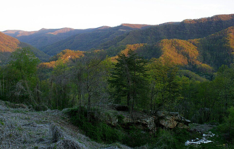 60 mi MountainBlack Mountain
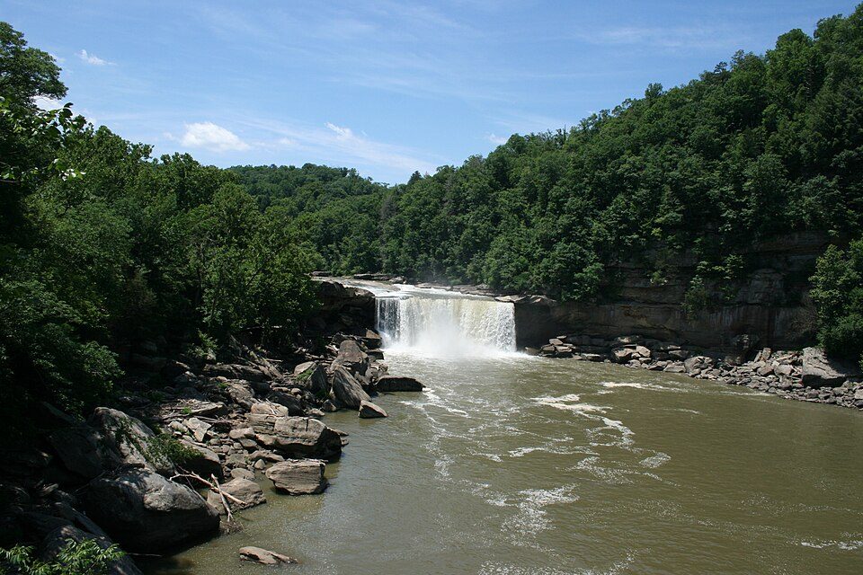 40 mi WaterfallCumberland Falls
 48 mi National Historical ParkCumberland Gap National Historical Park765K visitors a year
 64 mi GardenLexington Cemetery
Photo credits
Kroger Field: Navin75, CC BY-SA 2.0 · Red River Gorge: Robert G. Davis, NWSRS, Public domain · Rupp Arena: The original uploader was Analogue Kid at English Wikipedia., CC BY 2.5 · United States Penitentiary: Nyttend, Public domain · Black Mountain: iLoveMountains.org, CC BY 2.0 · Cumberland Falls: ChrisKuehl, Public domain · Cumberland Gap National Historical Park: J654567, CC BY-SA 3.0 · Lexington Cemetery: Analogue Kid at en.wikipedia, CC BY 2.5


What people ask about Daniel Boone National Forest
What town is Daniel Boone National Forest near?
Manchester, KY, about 11 miles southeast.
When is the best time to visit Daniel Boone National Forest?
April, May, June, September and October, with highs of 70–84°.
How many people visit Daniel Boone National Forest each year?
2,507,000 in 2004, according to Wikidata.
How far is Daniel Boone National Forest from Lexington?
About 61 miles northwest of Lexington, as the crow flies.
What is the closest airport to Daniel Boone National Forest?
Blue Grass (LEX), about 65 miles away. The nearest big hub is McGhee Tyson (TYS), about 102 miles.
Where should I stay near Daniel Boone National Forest?
London (16 mi, 20 places to stay), Manchester (11 mi, 4 places to stay) and Mount Vernon (26 mi, 12 places to stay).
Tips for visiting, from Manchester
Questions and tips go in Manchester’s Town Square.
Sources: National Park Service · ski areas © OpenSkiMap / OpenStreetMap contributors · Wikidata · Wikipedia readership · NOAA climate normals · U.S. Census.