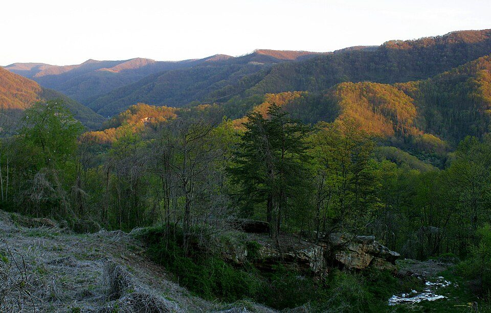
Black Mountain
Black Mountain is the highest mountain peak in the Commonwealth of Kentucky, United States, with a summit elevation of 4,145 feet (1,263 m) above mean sea level and a top-to-bottom height of over 2,500 feet (760 m). Its setting is 7 mi northwest of Big Stone Gap. Around it, United States Penitentiary (16 mi) comes first on our list.

A mountain, 7 mi northwest of Big Stone Gap
Plan where you’ll sleep
The nearest town with many places to stay is Wise, 18 miles east. Where to stay ↓
Best months: Apr, May, Jun, Jul, Aug, Sep and Oct
April, May, June, July, August, September and October are the mild months, with highs of 68–84°. When to go ↓
Written from NOAA 1991–2020 normals, Overture places to stay, Census town figures, Wikidata and Wikipedia.
How the seasons run
Here is how the weather at Black Mountain changes month by month.
Black Mountain
Black Mountain is the highest mountain peak in the Commonwealth of Kentucky, United States, with a summit elevation of 4,145 feet (1,263 m) above mean sea level and a top-to-bottom height of over 2,500 feet (760 m). The summit is located at approximately 36°54′51″N 82°53′38″W in Harlan County, Kentucky near the Virginia border, just above the towns of Lynch, Kentucky and Appalachia, Virginia.
- Type
- Mountain
- Elevation
- 4,144 ft
- Listed
- America's Most Endangered Historic Places
- Wikipedia readers
- 22K a year
A base for Black Mountain
Nearest for a night are Big Stone Gap (4) and Norton (4).
Big Stone Gap
The closest town with somewhere to stay.
5,102 people
7 mi southeast of Black Mountain
Compare 8 towns
| Town | From Black Mountain | Drive | Places to stay | People | Typical home | Safety |
|---|---|---|---|---|---|---|
| Big Stone Gap | 7 mi southeast | 10 min | 4 1 inn or B&B · 2 lodges & cabins · 1 campground | 5,102 | $163K | B− |
| Norton | 15 mi east | 20 min | 4 4 hotels | 3,477 | $110K | D− |
| Wise | 18 mi east | 25 min | 5 2 hotels · 2 inns & B&Bs · 1 campground | 2,853 | $145K | C+ |
| Evarts | 17 mi west | 25 min | 4 1 lodge or cabins · 1 campground · 2 RV parks | 596 | $71K | — |
| East Stone Gap | 9 mi east | 15 min | 1 1 hotel | 683 | $114K | — |
| Whitesburg | 15 mi north | 20 min | 2 1 hotel · 1 motel | 1,609 | $112K | A+ |
| Clinchport | 18 mi southeast | 25 min | 3 1 lodge or cabins · 1 campground · 1 RV park | 62 | — | — |
| Harlan | 24 mi west | 35 min | 6 4 hotels · 1 motel · 1 inn or B&B | 1,822 | $89K | B+ |
Getting there
Nearest airports with airline service
Make a day of it near Black Mountain
A wider trip can take in these, within 60 miles.
 116 mi Ancient siteUnited States Penitentiary
 60 mi National forestDaniel Boone National Forest2.5M visitors a year43 mi Park & preserveGray Fossil Site
 49 mi National Historical ParkCumberland Gap National Historical Park765K visitors a year
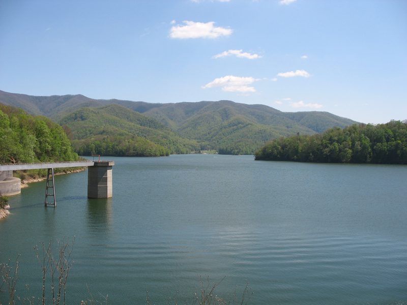 54 mi National forestCherokee National Forest
 42 mi State parkBreaks Interstate Park
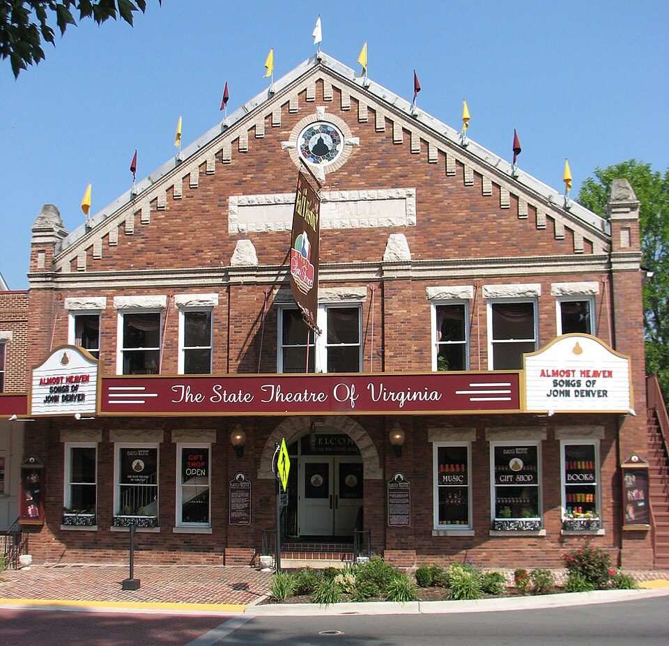 53 mi TheatreBarter Theatre
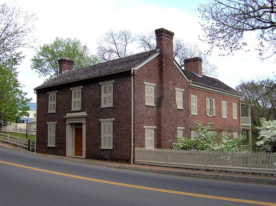 52 mi National Historic SiteAndrew Johnson National Historic Site43K visitors a year
Photo credits
United States Penitentiary: Nyttend, Public domain · Daniel Boone National Forest: Schwaltz, CC BY-SA 3.0 · Cumberland Gap National Historical Park: J654567, CC BY-SA 3.0 · Cherokee National Forest: Ryan Rice at en.wikipedia, CC BY-SA 3.0 · Breaks Interstate Park: SheepNotGoats (Talk), CC BY-SA 3.0 · Barter Theatre: RebelAt (talk) (Uploads), Public domain · Andrew Johnson National Historic Site: Brian Stansberry, CC BY 3.0


Black Mountain: common questions
What town is Black Mountain near?
Big Stone Gap, VA, about 7 miles southeast.
When is the best time to visit Black Mountain?
April, May, June, July, August, September and October, with highs of 68–84°.
What is the closest airport to Black Mountain?
Tri-Cities Regional TN/VA (TRI), about 41 miles away. The nearest big hub is McGhee Tyson (TYS), about 98 miles.
Where should I stay near Black Mountain?
Big Stone Gap (7 mi, 4 places to stay), Norton (15 mi, 4 places to stay) and Wise (18 mi, 5 places to stay).
Tips for visiting, from Big Stone Gap
Start the conversation in Big Stone Gap’s Town Square.
Sources: National Park Service · ski areas © OpenSkiMap / OpenStreetMap contributors · Wikidata · Wikipedia readership · NOAA climate normals · U.S. Census.