
Around Annville, Red River Gorge leads the list
Visits to Daniel Boone National Forest run to about 2.5M a year. None of our places to visit is inside Annville; 3 are within 40 miles. They include a canyon & gorge, a national forest and a state park. Travel 56 mi and you reach Kroger Field.
Daniel Boone National Forest
National forest in Kentucky.
The towns around it, and where to stay →
The lie of the land
To the northeast is where most of the 3 lie.
Orange: Annville. Numbers: the best-known places, matching the list below. © OpenStreetMap contributors
Full list of places
Each of the 25 is within 60 miles.
 1
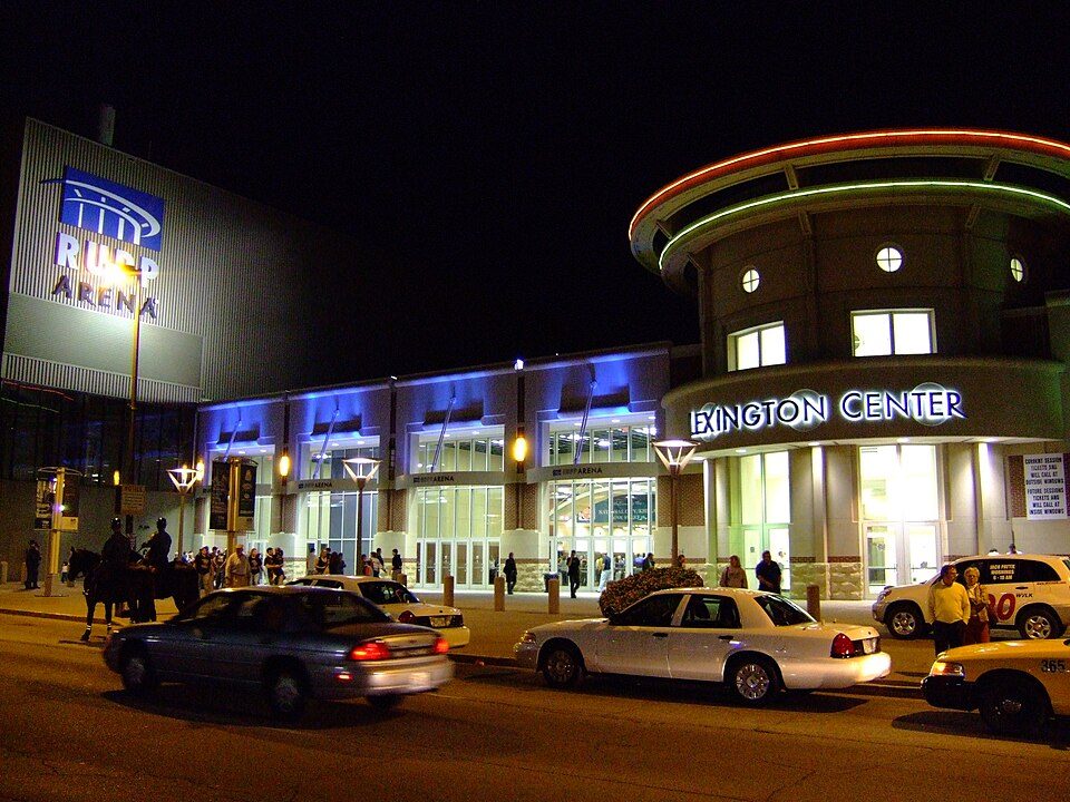 2
 3
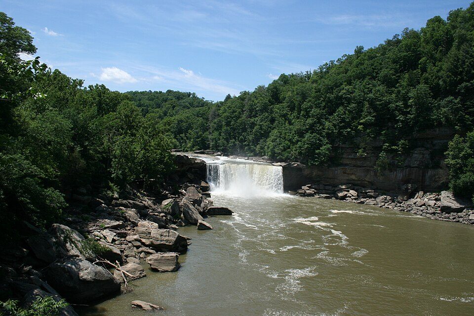 5
 6
Cumberland Gap National Historical Park
20,000 acres (Kentucky, Tennessee, and Virginia) operated by the U.S. National Park Service.
 7
 8
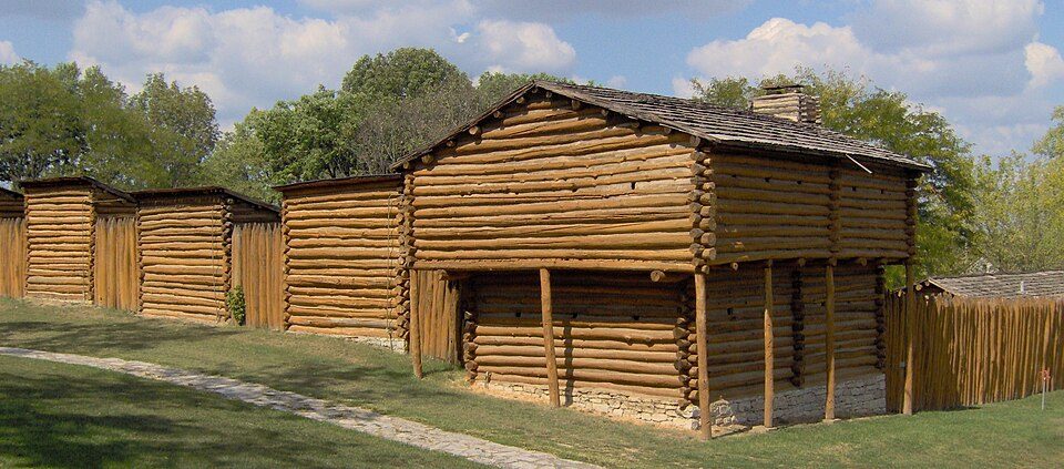
Fort Boonesborough State Park
State park and historic site in Kentucky, United States.
 9
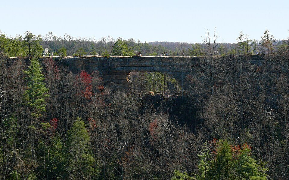 10
 11
Big South Fork National River and Recreation Area
In northeastern Tennessee and southeastern Kentucky, USA.
 12
Camp Nelson National Monument
525-acre (2.12 km2) national monument, historical museum and park located in southern Jessamine County, Kentucky, United States, 20 miles (32 km) south of Lexington, Kentucky.
 13
Mill Springs Battlefield National Monument
National monument in Kentucky, United States of America.
 14
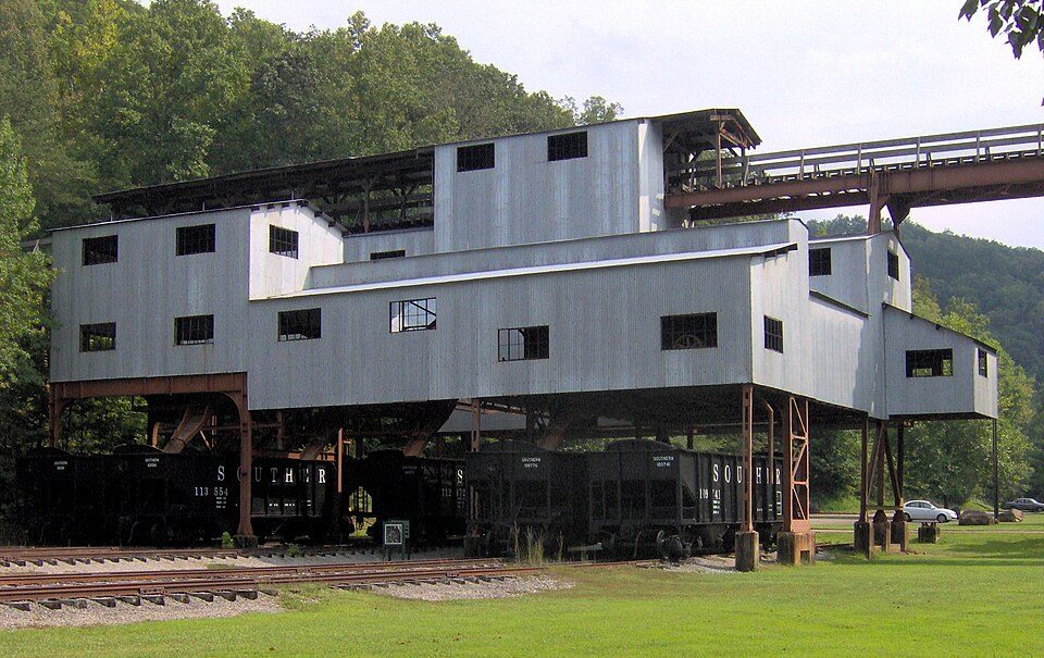

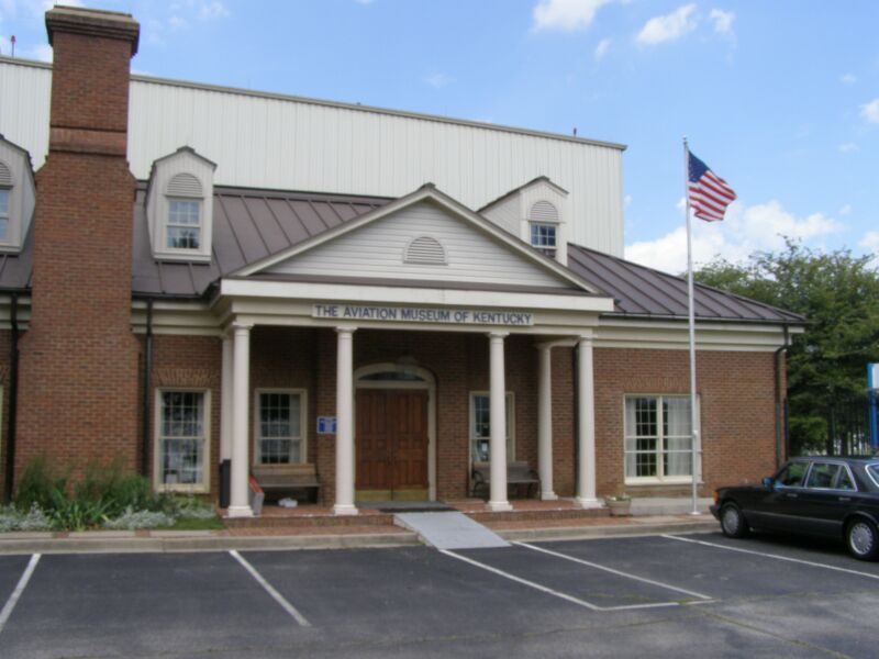
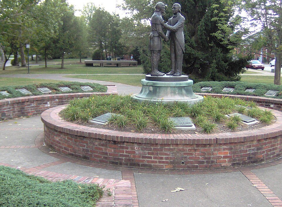
Constitution Square State Historic Site
Open-air museum in Danville, Kentucky.

University of Kentucky Arboretum
State Botanical Garden of Kentucky located at the University of Kentucky in Lexington, Kentucky, United States.


Magoffin County Pioneer Village and Museum
Open-air museum in Salyersville, Kentucky.

Ranked by how many people look them up, so the famous places lead and the local favorites follow.
Parks and trails in Annville → · Annville’s history →
Photo credits
Kroger Field: Navin75, CC BY-SA 2.0 · Rupp Arena: The original uploader was Analogue Kid at English Wikipedia., CC BY 2.5 · Red River Gorge: Robert G. Davis, NWSRS, Public domain · Daniel Boone National Forest: Schwaltz, CC BY-SA 3.0 · Cumberland Falls: ChrisKuehl, Public domain · Cumberland Gap National Historical Park: J654567, CC BY-SA 3.0 · Lexington Cemetery: Analogue Kid at en.wikipedia, CC BY 2.5 · Fort Boonesborough State Park: Bubba73, CC BY-SA 3.0 · Pleasant Hill: Unknown, CC BY-SA 2.0 · Natural Bridge State Resort Park: Ken Thomas, Public domain · Big South Fork National River and Recreation Area: Brian Stansberry, CC BY 3.0 · Camp Nelson National Monument: C. Bedford Crenshaw, aka Bedford at English Wikipedia, Attribution · Mill Springs Battlefield National Monument: C. Bedford Crenshaw, Attribution · Old Fort Harrod State Park: FloNight (Sydney Poore) and Russell Poore, CC BY-SA 3.0 · Blue Heron: Brian Stansberry, CC BY 3.0 · Hensley Settlement: National Park Service, Public domain · Aviation Museum of Kentucky: Chris Light (talk), CC BY-SA 3.0 · Constitution Square State Historic Site: FloNight (Sydney Poore) and Russell Poore, CC BY-SA 3.0 · University of Kentucky Arboretum: Daderot, CC0 · Bluegrass Heritage Museum: Steve Farmer, Public domain · Lexington History Center: FloNight (Sydney Poore) and Russell Poore, CC BY-SA 4.0 · Magoffin County Pioneer Village and Museum: FloNight (Sydney Poore) and Russell Poore, CC BY-SA 3.0 · Nannine Clay Wallis Arboretum: ChristopherM, CC BY-SA 3.0


