Bails SchoolschoolClear Springs SchoolschoolDoty SchoolschoolFowler SchoolschoolMount Zion SchoolschoolOakridge SchoolschoolOld Salem ChurchchurchWalnut Grove Schoolschool
12cemeteries and burying grounds inside Charleston Township
Native Americans lived in the Charleston area for thousands of years before the first European settlers arrived. With the great tallgrass prairie to the west, beech-maple forests to the east, and the Embarras River and Wabash Rivers between, the Charleston area provided semi-nomadic Indians access to a variety of resources. Indians may have deliberately set the "wildfires" which maintained the local mosaic of prairie and oak–hickory forest. Streams with names such as 'Indian Creek' and 'Kickapoo Creek' mark the sites of former Indian settlements. One village is said to have been located south of Fox Ridge State Park near a deposit of flint.
Passages that mention Charleston Township, cut from the printed page as they were published.
The History of Coles County, Illinois ... map of Coles County1879 · page 309Read the page →
Read the text
As stated in the general county history, the county Avas first divided into districts called election precincts, and so remained until township organization in 1859-60. This district was known as Charleston Precinct, and under township organization became Charleston Township, and was originally named for the county-seat, which had been given in honor of Charles Morton, who, as before stated, donated twenty acres of land to the county for the purpose of defraying the expenses of putting up the necessary public buildings. The first Supervisor of Charleston Township, under the new order of things, was Richard
Text read by machine from the scan; it may contain errors.
The history of Coles county, Illinois..1879 · page 309Read the page →
Read the text
As stated in the general county history, the county was first divided into districts called election precincts, and so remained until townshijt organization in 1859-60. This district was known as Charleston Precinct, and under township organization became Charleston Township, and was originally named for the county-seat, which had been given in honor of Charles Morton, who, as before stated, donated twenty acres of land to the county for the purpose of defraying the expenses of putting up the necessary public buildings. The first Supervisor of Charleston Township, under the new order of things, was Richard
Text read by machine from the scan; it may contain errors.
The History of Coles County, Illinois ... map of Coles County1879 · page 289Read the page →
Read the text
The first permanent settlement was made in Charleston Township in 1825. In that year, Seth H. Bates settled here, having removed from Crawford County. Jesse Veach, then a young man of eighteen, "moved" him to this
Text read by machine from the scan; it may contain errors.
The history of Coles county, Illinois..1879 · page 289Read the page →
Read the text
The first permanent settlement was made in Charleston Township in 1825. In that year, Seth H. Bates settled here, having removed from Crawford County. Jesse Veach, then a young man of eighteen, "moved" him to this
Text read by machine from the scan; it may contain errors.
Scans and text from the Internet Archive. Books published in 1930 or earlier, which are in the public domain.
By decade
Charleston Township, decade by decade
6 decades in the archive, from the 1850s to the 1990s. Scroll each row; tap a photo for its story.
Nothing in the archives for these yearsWeddings on Main Street, storms, parades, school pictures, the old store. If it’s in your family album, it belongs here.
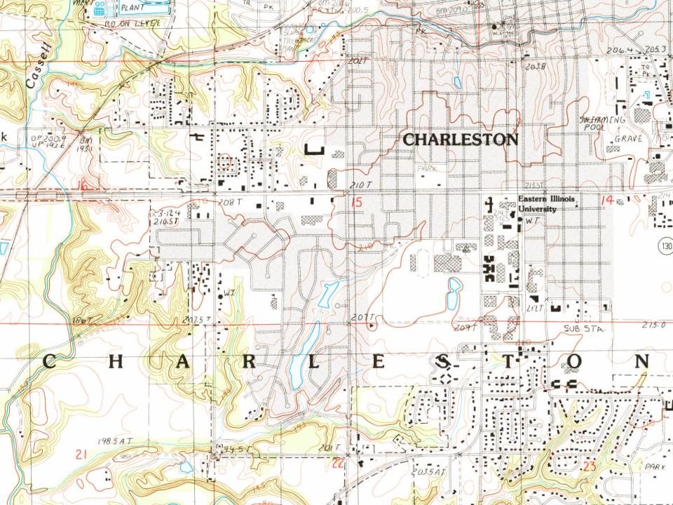
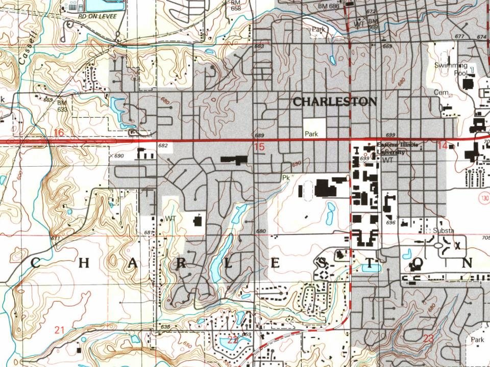
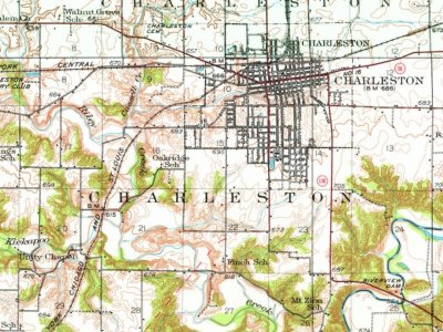
Every edition of the U.S. Geological Survey’s map of Charleston Township. Tap a year, or press play to watch the town change.
1933Toledo sheet · 1:62,500
U.S. Geological Survey historical topographic maps (public domain), via Esri’s collection of the scans. The red ring marks the center of Charleston Township.
Then & now
Stand where they stood
No then-and-now pairs yet. Take a photo from the same spot as an old one and they appear here side by side.
Retake this viewThe Lincoln–Douglas debates of 1858 - CHARLESTON ILLINOIS FAIR GROUNDS, 1858
Find the spot, match the angle, and add your photo. It becomes the first then-and-now pair on Charleston Township’s page.
In 1831, according to Wikidata and Wikipedia’s history of the town. Charleston Township’s post office opened in 1843, and the census of 1850 counted 849 people here.
What is on the National Register in Charleston Township?
Founding dates: Wikidata, Wikipedia, the U.S. post office records of Blevins & Helbock (CC0) and the Census. Homes by year built: Census ACS 2020–24. National Register of Historic Places: National Park Service (list of May 22, 2026). Old photos, postcards and papers: Wikimedia Commons, the Library of Congress and other public archives, credited on each item’s page. Maps: U.S. Geological Survey historical topographic maps (via Esri) and Sanborn fire-insurance maps (Library of Congress). History text and census tables: Wikipedia (CC BY-SA 4.0). Places that used to be: USGS Geographic Names Information System (2021). How TownRatings grades history →
From Wikimedia Commons (21), the Library of Congress (3), the National Register of Historic Places (2), Wikipedia, U.S. Geological Survey historical maps, U.S. Census counts (via Wikipedia), the USGS Geographic Names Information System and old county and town histories (Internet Archive). Archive images are copied here with their credits and licenses, shown on each photo’s page. Refreshed monthly.

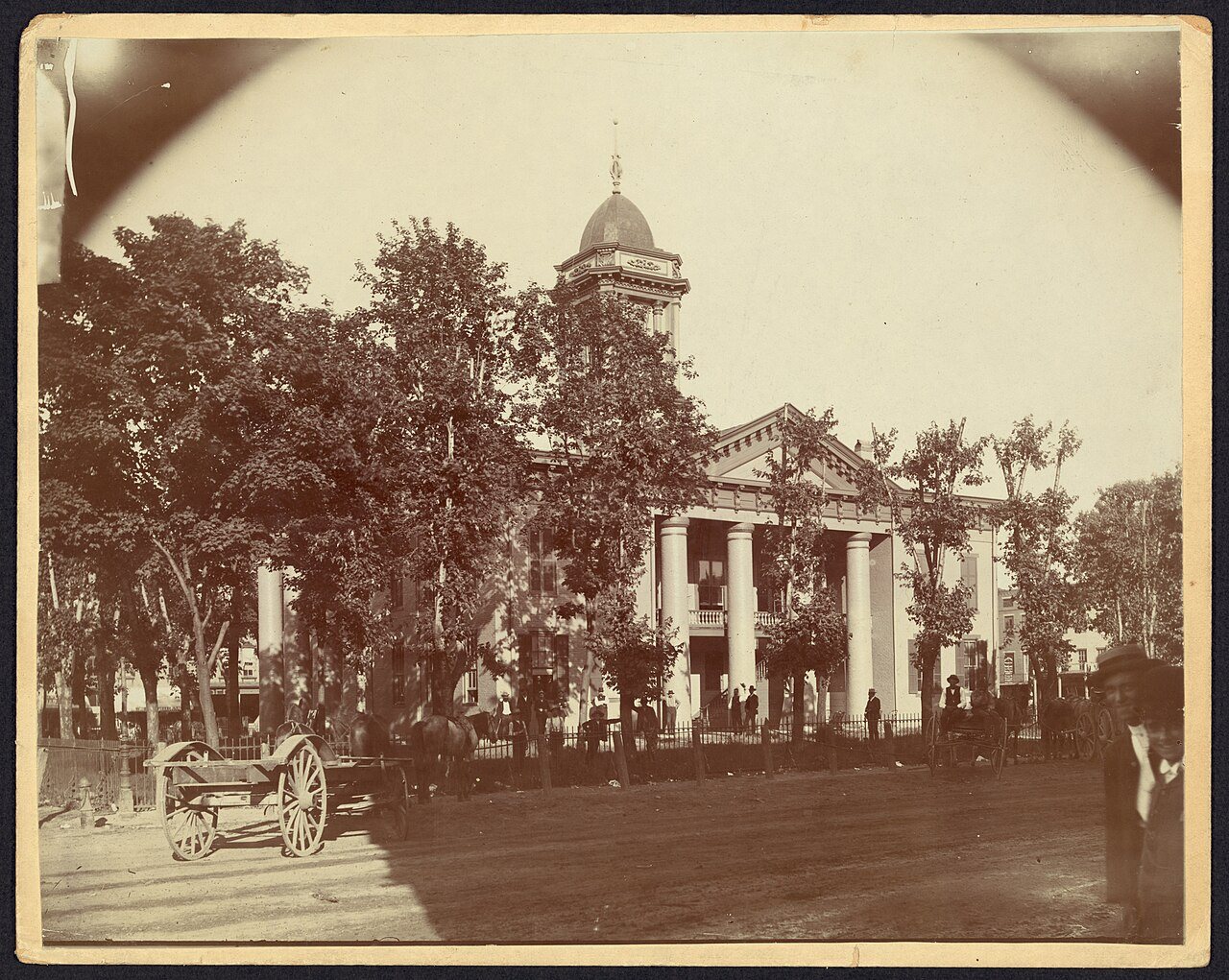






 1860
 1880
 2018
 2018
 2015
 2014
 2013
 2013
 2013
 2013
 2013
 2013
 2013
 2012
 2012
 2010
 2008
 2008