Milford dates to 1639, and 18% of its homes were built before 1940
More historic than 87% of U.S. towns · #62 of 155 in Connecticut. What drives it
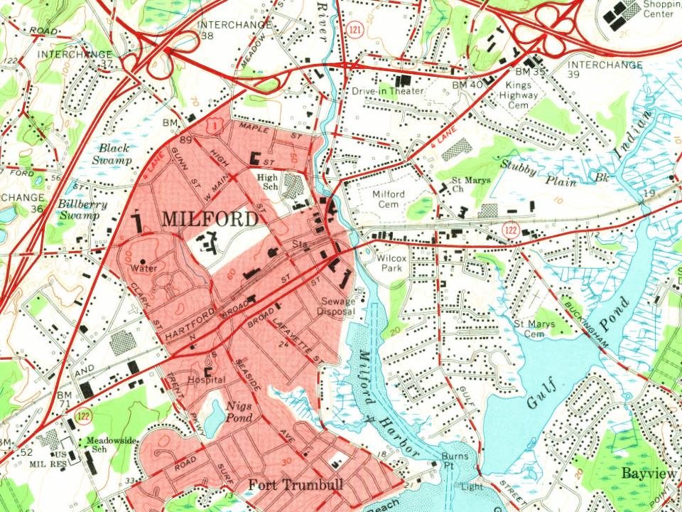
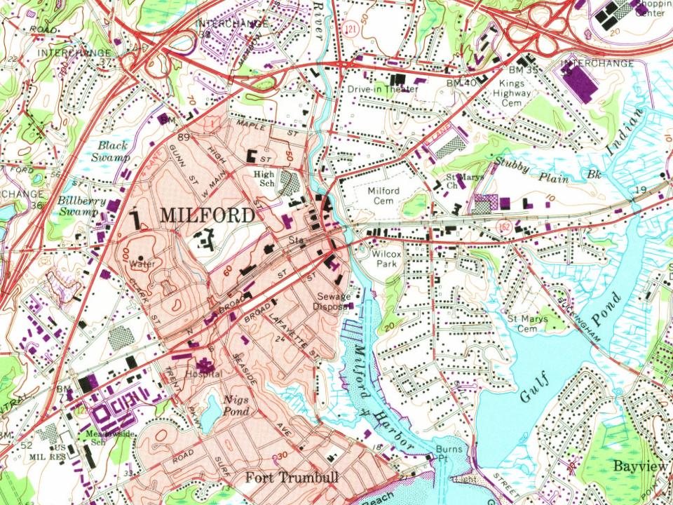
11 places in town are on the National Register, among them two historic districts with 165 buildings between them. Below: 5 old photos and papers, maps from 1891 on, and the census since 1790.
Founding year: Wikidata. First post office: 1795.The full story ↓
History grade
What drives Milford’s History grade
On its age, its old homes and the National Register, Milford is more historic than 87% of U.S. towns, #62 of 155 in Connecticut. All 3 inputs are above most U.S. towns; its age ranks highest and its National Register listings lowest.
A
HistoryA character grade: shown, never part of Milford’s overall grade.
Connecticut towns list more on the Register than most of the country (a typical Connecticut town has 73.3 per 10,000 residents, the U.S. 2.4), so Milford’s 33.0 sits below most of its state (30% of Connecticut towns have fewer) while its 174 historic buildings outnumber those of 92% of U.S. towns.
NoteThe founding year comes from Wikidata alone; no second source gives 1639.
How sure. Graded on any two of the three inputs instead, the letter would range from B+ to A. The pre-1940 share (±2.2 points) is firm at this size.
Founding year: Wikidata (other dates in Quick answers). Homes: Census ACS 2020–24. National Register: National Park Service, May 2026 list; each listing counted once (boundary changes and added documentation belong to their listing), and a historic district counts its contributing buildings. How TownRatings grades history →
What stands out about Milford’s past
Read from the archive, the National Register and the record. The page puts what stands out first.
When the English first encountered the territory, the Paugussett (an Algonquian-speaking tribe) predominated. English colonists affiliated with the contemporary New Haven Colony purchased land which today comprises Milford, Orange, and West Haven on February 1, 1639, from Ansantawae, chief of the local Paugusset. They knew the area as Wepawaug, named for the small river which runs through the town. The English built a grist mill by the Wepawaug River in 1640. Streets in Milford and Orange were later named "Wepawaug".
Passages that mention Milford, cut from the printed page as they were published.
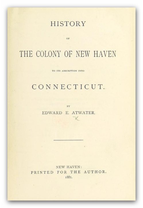
History of the colony of New Haven, before and after the union with Connecticut. Containing a particular description of the towns which composed that government, viz., New Haven, Milford, Guilford, Branford, Stamford, & Southold, L. I., with a notice of t1838 · page 99Read the page →
Read the text
1639. The method of forming their church was similar to that of New Haven. Seven persons were first chosen, who joined in covenant to be the church, and were called the seven pillars. Milford church pillars were Peter Prudden, William Fowler, Edmund Tapp, Zachariah Whitman, John Astwood, * This is a bowlder stone, about ten feet in diameter, and stands on a foundation of micaceous schist rock, located about a mile east of Washington bridge. The following ancient stanza explains the
Text read by machine from the scan; it may contain errors.
History of the colony of New Haven, before and after the union with Connecticut. Containing a particular description of the towns which composed that government, viz., New Haven, Milford, Guilford, Branford, Stamford, & Southold, L. I., with a notice of t1838 · page 158Read the page →
Read the text
greatly prospered. The inhabitants of this parish, fourteen, years before this, erected a meeting-house, 36 feet by 30, on the green, where they had preaching in the winter season, by the alternate labors of the ministers of Milford. The present meeting-house of this society was raised June 27, 1810, and dedicated April 17, 1811. The burying-ground, containing half an acre, was laid out in 1804.
Text read by machine from the scan; it may contain errors.
Scans and text from the Internet Archive. Books published in 1930 or earlier, which are in the public domain.
By decade
Milford, decade by decade
One decade in the archive so far: the 1880s. Scroll each row; tap a photo for its story.
Nothing in the archives for these yearsWeddings on Main Street, storms, parades, school pictures, the old store. If it’s in your family album, it belongs here.
In 1639, according to Wikidata. Milford’s post office opened in 1795, and the first U.S. census counted 2,098 people here in 1790.
How does Milford rank for history?
Milford is more historic than 87% of U.S. towns, #62 of 155 in Connecticut. The History grade combines the town’s founding era, the share of homes built before 1940 and its National Register listings. It’s a character grade, so it isn’t part of the overall grade. How it works.
What is on the National Register in Milford?
11 listings: 8 buildings, among them the Eells-Stow House (listed 1977, the first), 2 historic districts, the River Park Historic District and the Academy of Our Lady of Mercy at Lauralton Hall, with 165 contributing buildings, and 1 structure. 174 historic buildings in all.
How old are the homes in Milford?
18% of Milford’s homes were built before 1940 (Census estimate, ±2.2 points), against a typical 15% for a Connecticut town; the median home was built in 1965.
Founding dates: Wikidata, Wikipedia, the U.S. post office records of Blevins & Helbock (CC0) and the Census. Homes by year built: Census ACS 2020–24. National Register of Historic Places: National Park Service (list of May 22, 2026). Old photos, postcards and papers: Wikimedia Commons, the Library of Congress and other public archives, credited on each item’s page. Maps: U.S. Geological Survey historical topographic maps (via Esri) and Sanborn fire-insurance maps (Library of Congress). History text and census tables: Wikipedia (CC BY-SA 4.0). Places that used to be: USGS Geographic Names Information System (2021).
From Wikimedia Commons (5), Wikidata (1), the National Register of Historic Places (11), Wikipedia, Wikidata and Wikipedia for famous people, U.S. Geological Survey historical maps, U.S. Census counts (via Wikipedia), the US Post Offices dataset (Blevins & Helbock), the USGS Geographic Names Information System and old county and town histories (Internet Archive). Archive images are copied here with their credits and licenses, shown on each photo’s page. Refreshed monthly.


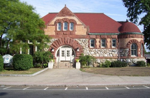


 1880
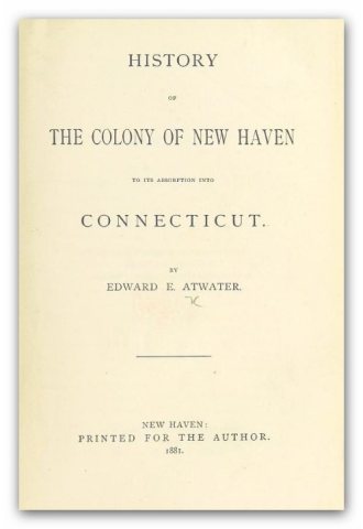 1881
 1881
 1881