East Windsor dates to 1680, and 12% of its homes were built before 1940
More historic than 82% of U.S. towns · #83 of 155 in Connecticut. What drives it
6 places in town are on the National Register, among them two historic districts with 47 buildings between them. Below: 12 old photos and papers, maps from 1892 on, and the census since 1820.
Founding year: Wikidata. First post office: 1810.The full story ↓
History grade
What drives East Windsor’s History grade
On its age, its old homes and the National Register, East Windsor is more historic than 82% of U.S. towns, #83 of 155 in Connecticut. All 3 inputs are above most U.S. towns; its age ranks highest and its share of homes from before 1940 lowest.
A−
HistoryA character grade: shown, never part of East Windsor’s overall grade.
Connecticut towns list more on the Register than most of the country (a typical Connecticut town has 73.3 per 10,000 residents, the U.S. 2.4), so East Windsor’s 49.1 sits near the middle of its state (39% of Connecticut towns have fewer) while its 55 historic buildings outnumber those of 86% of U.S. towns.
NoteThe founding year comes from Wikidata alone; no second source gives 1680.
How sure. Graded on any two of the three inputs instead, the letter would range from B to A. The pre-1940 share is a Census survey estimate (±4.4 points).
Founding year: Wikidata (other dates in Quick answers). Homes: Census ACS 2020–24. National Register: National Park Service, May 2026 list; each listing counted once (boundary changes and added documentation belong to their listing), and a historic district counts its contributing buildings. How TownRatings grades history →
What stands out about East Windsor’s past
Read from the archive, the National Register and the record. The page puts what stands out first.
In 1633, Settlers laid claim to the area now known as Windsor, which included East Windsor. No English settlers lived on the east side of the river. The first English settler in what is today known as East Windsor, was William Pynchon, the founder of Springfield, Massachusetts. In 1636, he erected a warehouse for his settlement's transshipment of goods at what is now known as "Warehouse Point". Warehouse Point served as the southern border of Springfield, Massachusetts, for 132 years—until 1768—when Warehouse Point, Connecticut, was annexed by the Connecticut Colony. Pynchon selected the site of Warehouse Point because of its location near the Enfield Falls—the first major falls in the Connecticut River, the head of navigation where seagoing vessels were forced to terminate their voyages and transship to smaller shallops. By constructing a warehouse at Warehouse Point, Pynchon essential…
Passages that mention East Windsor, cut from the printed page as they were published.
History of ancient Windsor, Connecticut, including East Windsor, South Windsor, and Ellington, prior to 1768, the date of their separation from the old town1859 · page 320Read the page →
Read the text
This society, when it was organized, in 1154, was the Sixth Society in Windsor. It remained so until 1168, when, by the division of the ancient town, it became the T'hird Society in East Windsor, the church in Ellington being the second. In 1186, Ellington was set off as an incorporated town ; after which period this society was known as the Second Society of East Windsor ; and in 1846, by the incorporation of South Windsor, as a distinct town, it became the First Society in East
Text read by machine from the scan; it may contain errors.
History of ancient Windsor, Connecticut, including East Windsor, South Windsor, and Ellington, prior to 1768, the date of their separation from the old town1859 · page 274Read the page →
Read the text
veniences, and petitioning for distinct town privileges. The assemblj' postponed it until October, then until May, 1168, when that part of Windsor east of the Connecticut River, was made the town of East Windsor. With this improvement of their circumstances, the Ellington people seem to have been content until llie obvious claims of the parish to a distinct organization, resulted in their incorporation in 1186, as the town of Ellington' Tho relations of the town with East Windsor, were always
Text read by machine from the scan; it may contain errors.
Scans and text from the Internet Archive. Books published in 1930 or earlier, which are in the public domain.
By decade
East Windsor, decade by decade
3 decades in the archive, from the 1860s to the 1900s. Scroll each row; tap a photo for its story.
Nothing in the archives for these yearsWeddings on Main Street, storms, parades, school pictures, the old store. If it’s in your family album, it belongs here.
In 1680, according to Wikidata. East Windsor’s post office opened in 1810, and the census of 1820 counted 3,400 people here.
How does East Windsor rank for history?
East Windsor is more historic than 82% of U.S. towns, #83 of 155 in Connecticut. The History grade combines the town’s founding era, the share of homes built before 1940 and its National Register listings. It’s a character grade, so it isn’t part of the overall grade. How it works.
What is on the National Register in East Windsor?
6 listings: 3 buildings, among them the St. John's Episcopal Church (listed 1982, the first), 2 historic districts, the Broad Brook Company and the Melrose, with 47 contributing buildings, and 1 structure. 55 historic buildings in all.
How old are the homes in East Windsor?
12% of East Windsor’s homes were built before 1940 (Census estimate, ±4.4 points), against a typical 15% for a Connecticut town; the median home was built in 1977.
Founding dates: Wikidata, Wikipedia, the U.S. post office records of Blevins & Helbock (CC0) and the Census. Homes by year built: Census ACS 2020–24. National Register of Historic Places: National Park Service (list of May 22, 2026). Old photos, postcards and papers: Wikimedia Commons, the Library of Congress and other public archives, credited on each item’s page. Maps: U.S. Geological Survey historical topographic maps (via Esri) and Sanborn fire-insurance maps (Library of Congress). History text and census tables: Wikipedia (CC BY-SA 4.0). Places that used to be: USGS Geographic Names Information System (2021).
From Wikimedia Commons (12), the National Register of Historic Places (6), Wikipedia, Wikidata and Wikipedia for famous people, U.S. Geological Survey historical maps, U.S. Census counts (via Wikipedia), the US Post Offices dataset (Blevins & Helbock), the USGS Geographic Names Information System and old county and town histories (Internet Archive). Archive images are copied here with their credits and licenses, shown on each photo’s page. Refreshed monthly.


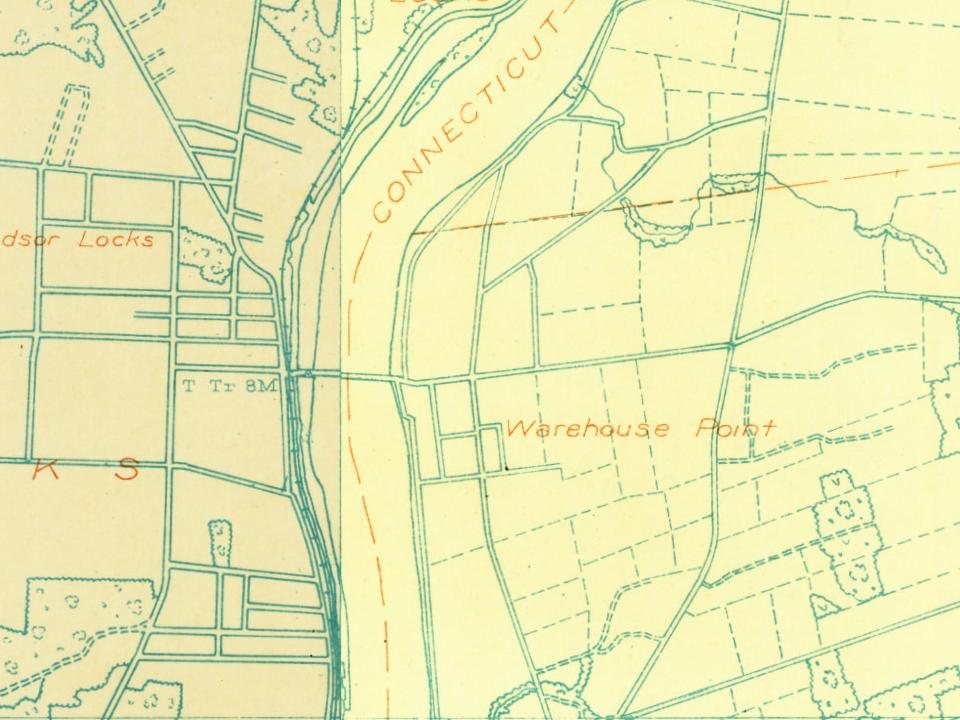
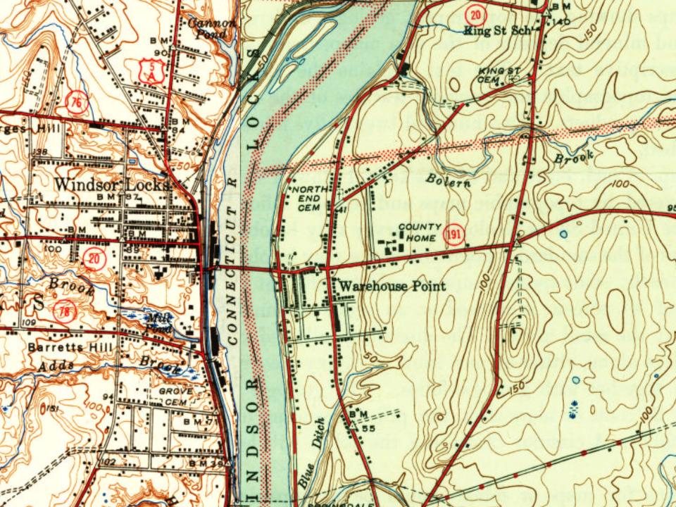

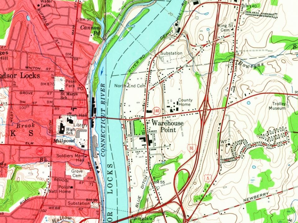
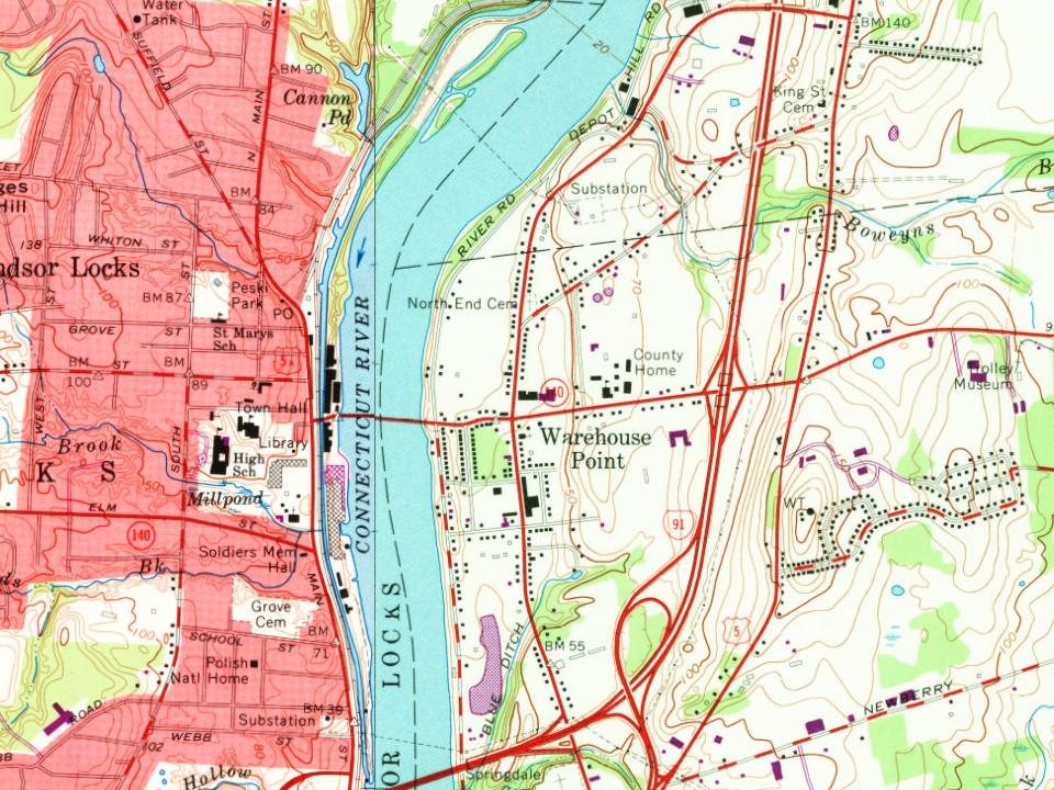


 1880
 1880
 1880
 1905
 1907–1915
 1907–1915
 1907–1915
 1907–1915
 c. 1908


