Find your neighbourhood in Saskatoon
Not one neighbourhood in the city earns an A grade overall. Bottom of the city’s neighbourhoods is Grosvenor Park, #2,282 among 2,556 nationally. The middle of the city’s graded neighbourhoods is Brevoort Park, #1,497 of 2,556 nationally. Its 43 neighbourhoods each have a page here. With 16,088 residents, Evergreen is the biggest. The 2025 estimate puts Saskatoon 19.5% above its 2021 census count. Brighton has the best overall grade of the city’s neighbourhoods, #578 of 2,556 nationally. Against the rest of the country, the typical neighbourhood in the city does best on hazard risk and least well on safety.


Find a town that’s…
In national order: each neighbourhood is ranked in its province and across the country, not within the city.
43 towns · in national order




Saskatoon’s neighbourhoods, list by list
13 lists rank the neighbourhoods in Saskatoon; Brighton tops 5 of them.
Questions about Saskatoon
How do the biggest towns in Saskatoon grade?
Evergreen grades B overall, with its best grade in jobs & income. Next in size, Stonebridge grades B−, best in jobs & income.
Is every town in Saskatoon on TownRatings?
Yes: every neighbourhood of Saskatoon has its page, listed here.
Why isn’t my town ranked?
Neighbourhoods are ranked in their province and nationally, not against each other within the city.
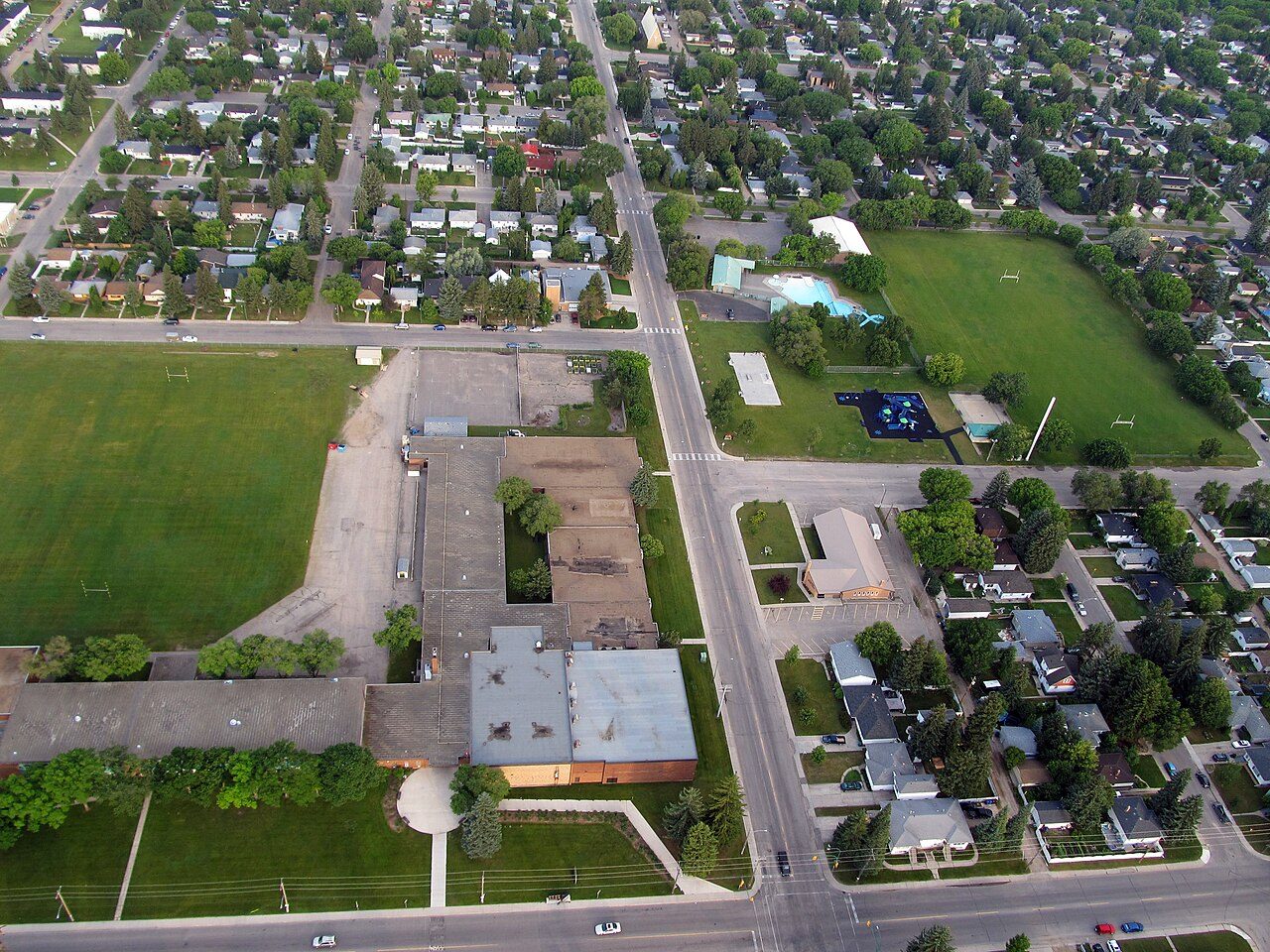
Photos: Brighton, Stephen Glauser from Calgary, Canada (CC BY-SA 2.0) · Dundonald, Rickyharder at English Wikipedia (Public domain) · Hampton Village, ArmedCalculator (CC BY-SA 4.0) · Lakewood Urban Centre, Drm310 at English Wikipedia (CC BY-SA 3.0) · Adelaide/Churchill, daryl_mitchell from Saskatoon, Saskatchewan, Canada (CC BY-SA 2.0) · Silverwood Heights, Drm310 (CC BY-SA 4.0) · Willowgrove, ArmedCalculator (CC BY-SA 4.0) · Holliston, Drm310 (CC BY-SA 3.0) · Nutana Park, SriMesh (CC BY-SA 3.0) · Confederation Park, ArmedCalculator (CC0) · Evergreen, daryl_mitchell from Saskatoon, Saskatchewan, Canada (CC BY-SA 2.0) · Greystone Heights, SriMesh (CC BY-SA 3.0) · Buena Vista, SriMesh (CC BY-SA 3.0) · Lawson Heights, Julia Adamson SriMesh talk (CC BY-SA 2.5) · Westview, SriMesh (CC BY-SA 3.0) · Avalon, Drm310 (CC BY-SA 3.0) · Haultain, daryl_mitchell from Saskatoon, Saskatchewan, Canada (CC BY-SA 2.0) · Pacific Heights, SriMesh (CC BY-SA 3.0) · Brevoort Park, daryl_mitchell from Saskatoon, Saskatchewan, Canada (CC BY-SA 2.0) · Parkridge, SriMesh (CC BY-SA 3.0) · Blairmore Suburban Centre, Daylen (CC BY 4.0) · Caswell Hill, Julia Adamson SriMesh talk (CC BY 2.5) · University Heights Urban Centre, Drm310 (CC BY 3.0) · City Park, Drm310 (CC BY-SA 3.0) · South West Industrial, Ian Muttoo from Mississauga, Canada (CC BY-SA 2.0) · Lakewood, Drm310 (CC BY-SA 3.0) · Fairhaven, brewbooks from near Seattle, USA (CC BY-SA 2.0) · Lawson Heights Urban Centre, SriMesh (CC BY-SA 3.0) · Mayfair, SriMesh (CC BY-SA 3.0) · North Park, SriMesh (CC BY-SA 3.0) · Eastview, Drm310 (CC BY-SA 3.0) · University, Joli Rumi (CC BY-SA 4.0) · Westmount, Tanbir M-05 (CC BY-SA 4.0) · Mount Royal, Tanbir M-05 (CC BY-SA 4.0) · Central Business District, daryl_mitchell from Saskatoon, Saskatchewan, Canada (CC BY-SA 2.0) · Massey Place, ArmedCalculator (CC BY-SA 4.0) · Pleasant Hill, daryl_mitchell from Saskatoon, Saskatchewan, Canada (CC BY-SA 2.0) · Nutana Urban Centre, SriMesh talk (Public domain) · Grosvenor Park, SriMesh (CC BY-SA 3.0), via Wikimedia Commons.
Sources: TownRatings grades: our own summary of the data, ranking Canadian towns against each other only, run #73 of 10 November 2026 · Statistics Canada, 2021 Census of Population and population estimates. Under the Statistics Canada Open Licence.
Adapted from Statistics Canada (Census of Population 2021, population estimates 2025, 2021 census boundaries) under the Statistics Canada Open Licence; this does not constitute an endorsement by Statistics Canada. Neighbourhood names in some cities © OpenStreetMap contributors (ODbL).