First pick
Zwick's Island Park
Park or garden
42 ha5.4 km of path
1 h 10 minto walk all 5.4 km of path
3.6 km southfrom the centre
Gunpo TrailJack Ellis TrailZwick’s Recreational Trail+1 path
Directionsto a point inside
Each edition grades its towns against each other only.
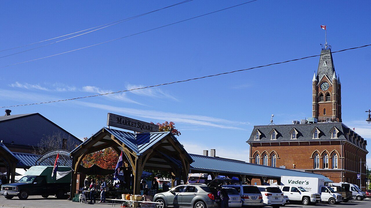 Photo: JFVoll · CC BY-SA 4.0
14 km from town is Stoco Fen Provincial Park, the nearest provincial park. 18 protected areas lie within 10 km. The Stirling Rail Trail is the one mapped walking route close by.
Each figure against the 2,611 Canadian towns and neighbourhoods of 2,500+ (not city hubs or reserves), with the town marked and the typical one’s line. Outdoors isn’t one of Canada’s graded subjects, so there’s no letter here: each figure is set against other Canadian towns instead.
CPCAD 2.9.0 (ECCC, 2026), OpenStreetMap (November 2026). Distances from the town’s outline.
The 40 Canadian towns nearest in population (49,863 to 79,371 residents), by the share of the land within 10 km that is protected. Hover for each one’s figures; click for its page.
Against towns its size, Belleville is weakest for public protected areas: 36 of 39 have more.
| Town | Protected within 10 km | In town | Areas | Routes | Beaches | |
|---|---|---|---|---|---|---|
| 1 | Dollard-Des Ormeaux QC | 27% | 3.7% | 40 | 0 | 6 |
| 2 | Langford BC | 27% | 18% | 41 | 7 | 19 |
| 3 | Shawinigan QC | 24% | 61% | 40 | 16 | 10 |
| 4 | Châteauguay QC | 19% | 0.8% | 34 | 0 | 3 |
| 5 | Newton BC | 15% | 7.3% | 174 | 6 | 1 |
| 6 | Port Coquitlam BC | 15% | 5.6% | 125 | 3 | 30 |
| 7 | Saint John NB | 14% | 11% | 63 | 3 | 97 |
| 8 | Pointe-aux-Trembles QC | 9.5% | 7.3% | 38 | 0 | 2 |
| 9 | Rimouski QC | 8.8% | 3.6% | 43 | 10 | 48 |
| 10 | Whalley BC | 8.2% | 1% | 125 | 5 | 7 |
| 11 | Fleetwood BC | 7.8% | 7.9% | 162 | 10 | 0 |
| 12 | North Vancouver BC | 7.5% | 0% | 13 | 4 | 66 |
| 13 | North Bay ON | 7.4% | 5.6% | 4 | 4 | 13 |
| 14 | Mirabel QC | 5.9% | 0.3% | 76 | 1 | 2 |
| 15 | Stouffville ON | 5.9% | 0.5% | 51 | 1 | 1 |
| 16 | Fredericton NB | 4.3% | 0% | 26 | 2 | 16 |
| 17 | Mascouche QC | 4% | 0% | 32 | 0 | 0 |
| 18 | St. Albert AB | 3.4% | 2.1% | 7 | 7 | 1 |
| 19 | Welland ON | 3.2% | 0% | 14 | 0 | 0 |
| 20 | Granby QC | 2.5% | 3.6% | 18 | 0 | 6 |
| 21 | Simcoe ON | 2.3% | 4.7% | 102 | 5 | 36 |
| 22 | Aurora ON | 2.2% | 0.6% | 42 | 1 | 0 |
| 23 | Alliston ON | 2.1% | 0.4% | 36 | 2 | 3 |
| 24 | Georgetown ON | 1.8% | 3.5% | 38 | 6 | 2 |
| 25 | Grande Prairie AB | 1.7% | 0% | 6 | 1 | 6 |
| 26 | Quinte West ON | 1.4% | 0.6% | 22 | 3 | 1 |
| 27 | Belleville ON | 1.2% | 1.8% | 18 | 1 | 0 |
| 28 | Blainville QC | 1.1% | 0% | 27 | 2 | 0 |
| 29 | Bradford ON | 1.1% | 1.3% | 28 | 5 | 1 |
| 30 | Brandon MB | 1.1% | 0.9% | 16 | 0 | 0 |
| 31 | Saint-Hyacinthe QC | 0.7% | 0% | 15 | 0 | 0 |
| 32 | Keswick ON | 0.7% | 0.9% | 13 | 1 | 14 |
| 33 | Roseborough ON | 0.7% | 0% | 4 | 0 | 0 |
| 34 | Rocky View County AB | 0.5% | 0.6% | 20 | 9 | 19 |
| 35 | Woodstock ON | 0.4% | 0% | 5 | 3 | 2 |
| 36 | Innisfil ON | 0.3% | 0.1% | 6 | 1 | 17 |
| 37 | Victoriaville QC | 0.2% | 0% | 1 | 0 | 2 |
| 38 | Caledonia ON | 0.2% | 0.4% | 17 | 4 | 7 |
| 39 | Cornwall ON | 0.1% | 0% | 4 | 0 | 1 |
| 40 | Medicine Hat AB | 0% | 0% | 0 | 0 | 1 |
Green space, woods, protected areas and footpaths in and around the town; tap a number for its park or wood.
Zwick's Island Park is the largest, at 42 ha; the rest follow by size, numbered as on the map.
Spread across many places, the largest holding 21%.
Source: OpenStreetMap parks, gardens, commons and woods with a name, in the town or within 400 m, © OpenStreetMap contributors, ODbL. Sizes are the mapped outline’s.
Residents of each 2021 dissemination area, at a point inside it, within 400 m (about a 5-minute walk) of a park or playing field mapped on OpenStreetMap.
That leaves about 23,000 people more than a short walk away. The usual figure for a Canadian town is 83%, above this.
Every protected and conserved area in CPCAD within 10 km of the town’s edge: parks, reserves, wildlife areas and conservation land.
All of them are private land, held by landowners or conservation groups, so they are counted here but not named.
Source: Canadian Protected and Conserved Areas Database (CPCAD) 2.9.0, Environment and Climate Change Canada. Contains information licensed under the Open Government Licence – Canada.
National parks (Parks Canada) and provincial or territorial parks by direction and distance from the town’s edge: every one within 10 km, and the nearest of each within 100 km.
Closer to home, Stoco Fen Provincial Park is 14 km away.
Source: CPCAD 2.9.0 (ECCC): areas and outlines, distances outline to outline; directions from the town’s centre point.
OpenStreetMap footpaths, paths, bridleways and steps, and tracks open on foot, in the town and 1 km around it; woods as mapped (landuse=forest, natural=wood).
It is more wooded than 72% of Canadian towns. It has fewer paths per km² than 72% of Canadian towns.
Source: OpenStreetMap, © OpenStreetMap contributors, ODbL. Mapping varies by place: a dense figure can mean keen local mappers as much as many paths.
Named walking and hiking routes on OpenStreetMap with at least 300 m within 2 km of the town, longest first; national routes lead.
Source: OpenStreetMap (route relations hiking, foot and walking), © OpenStreetMap contributors, ODbL. Trans Canada Trail sections as OSM maps them.
Daylight at the town’s latitude and ECCC’s 1991–2020 normals (Trenton, 14 km away). Good months: long days, highs of 15–30 °C, light rain.
| Jan | Feb | Mar | Apr | May | Jun | Jul | Aug | Sep | Oct | Nov | Dec | |
|---|---|---|---|---|---|---|---|---|---|---|---|---|
| Daylight (h) | 9.2 | 10.4 | 11.8 | 13.4 | 14.7 | 15.5 | 15.2 | 14.0 | 12.4 | 10.9 | 9.5 | 8.9 |
| High (°C) | -2 | -1 | 4 | 12 | 19 | 24 | 27 | 26 | 22 | 14 | 7 | 1 |
| Rain & snow (mm) | 78 | 60 | 64 | 84 | 81 | 83 | 75 | 70 | 92 | 91 | 84 | 77 |
Rain and snow peak in September (92 mm) and ease in February (60 mm). Daytime highs run from -2 °C in January up to 27 °C in July. Snowfall averages 155 cm a year. The climate in Belleville →
Viewpoints, peaks, waterfalls, picnic sites, nature reserves, playgrounds, dog parks, campsites and boat launches mapped within 2 km of the town.
Top of the list: playgrounds, 40 of them.
Plus 4 viewpoints without a name on the map.
Plus 2 picnic sites without a name on the map.
Plus 36 playgrounds without a name on the map.
Plus 1 campsite without a name on the map.
Source: OpenStreetMap (tourism, natural, waterway and leisure tags), © OpenStreetMap contributors, ODbL.
The nearest places, coloured by the share of the land within 10 km that is protected; tap one for its outdoors page.
| Town | Protected within 10 km | Areas | Routes | Beaches |
|---|---|---|---|---|
| Belleville | 1.2% | 18 | 1 | 0 |
| Quinte West 16 km | 1.4% | 22 | 3 | 1 |
| Tyendinaga Mohawk Territory 18 km | 0.1% | 5 | 0 | 0 |
For walking routes, Quinte West leads the area with 3. For protected land, no neighbour of Belleville doubles its share.
It is Thousand Islands National Park, 57 km off.
The Stirling Rail Trail, mapped within 2 km.
Within 10 km, 1.2% of the land lies in protected areas.
It is Stoco Fen Provincial Park, 14 km away.
May to September, on the 1991–2020 normals and the daylight: long days, highs of 15 °C or more, light rain for the place.
Protected areas: Canadian Protected and Conserved Areas Database (CPCAD) 2.9.0, Environment and Climate Change Canada, 2026: every area within 10 km and the nearest national and provincial parks, measured outline to outline.
Walking routes and beaches: OpenStreetMap, November 2026: named hiking, foot and walking route relations within 2 km and beaches within 5 km.
Towns: Statistics Canada 2021 Census boundaries and populations; the comparison is the Canadian towns and neighbourhoods of 2,500+, not city hubs or reserves.
When to go: Environment and Climate Change Canada, Canadian Climate Normals 1991–2020, from the nearest station that publishes them.
Green space, paths, woods, things to do: OpenStreetMap (Geofabrik’s Canada extract), November 2026: parks, gardens, playing fields, woods, footpaths, the coastline and things to do in and around each town.
Residents: Statistics Canada 2021 Census dissemination areas (population, boundaries), each at a point inside it.
Walking routes and beaches © OpenStreetMap contributors, available under the Open Database Licence (ODbL).
Not on this page: trailheads and trail grades, and beach water quality. No open Canadian dataset gives these for every town yet.
Adapted from Statistics Canada (Census of Population 2021, population estimates 2025, 2021 census boundaries) under the Statistics Canada Open Licence; this does not constitute an endorsement by Statistics Canada. Neighbourhood names in some cities © OpenStreetMap contributors (ODbL).