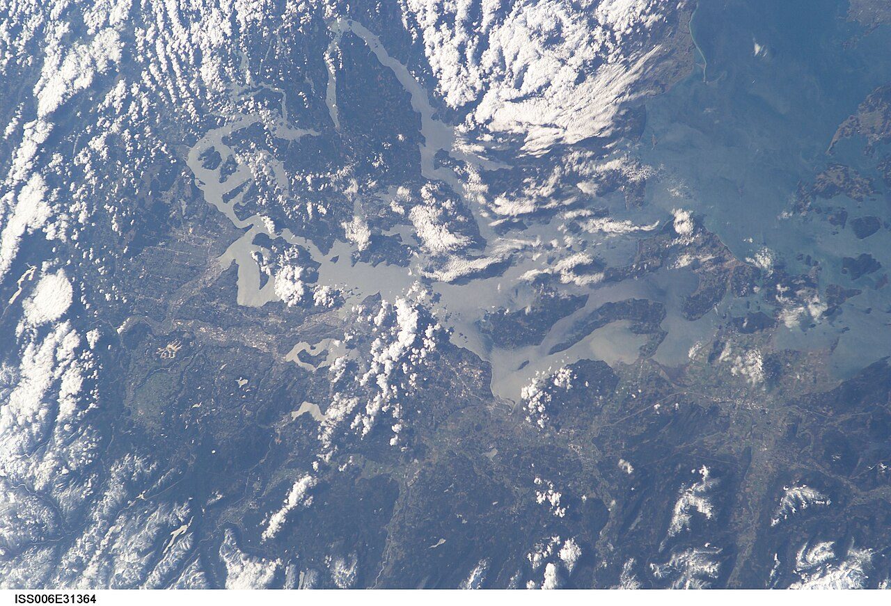
 Photo: Earth Science and Remote Sensing Unit , Lyndon B. Johnson Space Center · Public domain
Electoral Area C, North Okanagan sits near the middle of Canadian towns for recorded crime
Its Safety Grade, B− (#54 of 251 in British Columbia), rests on crime its police reported from 2023 to 2025: close to the middle of Canadian towns. Still, typical years here bring 13.7 violent incidents plus 24.3 incidents of property crime per 1,000 residents, against 12.9 plus 31.2 in the typical town its size. On Statistics Canada’s Crime Severity Index, the 2023–2025 average is 61.3, where the typical Canadian town its size sits at 68.5.
Statistics Canada, police-reported crime, 2023–2025 means. The index weighs each crime by its seriousness; rates are incidents per 1,000 residents a year. Data for crime severity, crime rate and incident counts covers the Vernon detachment area.
What stands out about safety in Electoral Area C, North Okanagan
Lower than most of British Columbia
Electoral Area C, North Okanagan’s index of 61.3 compares with 83.2 for the typical town in British Columbia. Towns its size ↓
Down since 2023
Between 2023 and 2025, Electoral Area C, North Okanagan moved from 68.6 to 56.4, while the typical Canadian town its size went from 74.3 to 64.2. Year by year ↓
In the middle of towns its size
Of the 40 Canadian towns nearest it in size, Electoral Area C, North Okanagan places 18th from the lowest index. Towns its size ↓
Below-typical clearance
For Canadian towns of 2,500 to 10,000 people the typical clearance rate is 34%; Electoral Area C, North Okanagan’s police clear 22%, 41% of violent crime and 12% of the rest. Questions ↓
Written from Statistics Canada’s police-reported crime by police service and detachment, 2023–2025. Figures are what police recorded, not convictions.
Electoral Area C, North Okanagan: B− for safety, and why
How sure: Less sure than most: the grade leans on the closest detachment, 8 km from Electoral Area C, North Okanagan, since none reports under the town’s name.
The grade weighs the Crime Severity Index and its violent half, averaged over 2023–2025, against every Canadian town and city neighbourhood of 1,000 people or more.
Its place: #54 of 251 in British Columbia and #902 of 2,572 Canadian towns.
The Crime Severity Index and its two halves, beside the typical figure for Canadian towns of 2,500 to 10,000 people.
Year by year in Electoral Area C, North Okanagan: down 18%, 2023 to 2025
Crime Severity Index
Its highest year was 2023, at 68.6, and its lowest 2025, at 56.4. For the typical Canadian town its size, 2023 gave 74.3 and 2025 gave 64.2.
Every year as a table
| Year | Electoral Area C, North Okanagan | Typical town its size |
|---|---|---|
| 2025 | 56.4 | 64.2 |
| 2024 | 58.7 | 68.8 |
| 2023 | 68.6 | 74.3 |
Statistics Canada, Crime Severity Index by police service, each year as published. Typical: the median of Canadian towns of 2,500 to 10,000 people.
The Crime Severity Index of the police covering Electoral Area C, North Okanagan, each year, against the typical Canadian town its size.
What police record in Electoral Area C, North Okanagan, by type
Against the typical town its size, Electoral Area C, North Okanagan runs highest on mischief (5.6 per 1,000 against 4.9). Motor vehicle theft and theft under $5,000 sit below it.
Every Statistics Canada violation line
| Violation | Incidents a year | Per 1,000 | Cleared |
|---|---|---|---|
| Homicide | 0.3 | 0.02 | — |
| Sexual violations against children | 4 | 0.3 | — |
| Assaults against a peace officer | 1 | 0.07 | — |
| Firearms: use, discharge, pointing | 1 | 0.07 | — |
| Robbery | 1.3 | 0.10 | — |
| Forcible confinement or kidnapping | 1.3 | 0.10 | — |
| Other violent violations | 0.7 | 0.05 | — |
| Breaking and entering | 37.7 | 2.7 | 12% |
| Possession of stolen property | 12 | 0.9 | 36% |
| Theft of a motor vehicle | 31 | 2.2 | 5% |
| Theft over $5,000 | 12.7 | 0.9 | 0% |
| Theft under $5,000 | 88.3 | 6.3 | 4% |
| Mischief | 79.3 | 5.6 | 12% |
| Weapons violations | 3.7 | 0.3 | — |
| Administration of justice violations | 28.3 | 2 | 61% |
| Other Criminal Code violations | 18.3 | 1.3 | 22% |
| Drug violations | 8 | 0.6 | 29% |
| Impaired driving | 17.3 | 1.2 | 54% |
| Failing to stop or remain | 3 | 0.2 | — |
Statistics Canada’s violation groups for the whole police service or detachment, incidents a year its own. Cleared: incidents solved by a charge or otherwise, as a share of those reported.
Incidents per 1,000 residents a year, 2023–2025 means, against the typical figure for Canadian towns of 2,500 to 10,000 people.
Among 40 towns its size, Electoral Area C, North Okanagan places 18th
| # | Town | People | Severity index | Violent index | Safety |
|---|---|---|---|---|---|
| 1 | Northern Bruce Peninsula Ontario | 5,018 | 29.3 | 46.7 | A+ |
| 2 | Metchosin British Columbia | 5,207 | 40.7 | 41.3 | A− |
| … | |||||
| 5 | Cumberland British Columbia | 4,974 | 49.5 | 61.5 | B+ |
| 6 | Electoral Area A, Cowichan Valley British Columbia | 5,156 | 49.9 | 52.5 | B+ |
| 7 | Cobble Hill British Columbia | 5,074 | 49.9 | 52.5 | B+ |
| … | |||||
| 15 | Grand Bay-Westfield New Brunswick | 5,202 | 58.8 | 54.7 | B− |
| 16 | Altona Manitoba | 4,989 | 59.1 | 44 | B− |
| 17 | Didsbury Alberta | 5,185 | 59.9 | 69.6 | B− |
| 18 | Electoral Area C, North Okanagan British Columbia | 5,029 | 61.3 | 74.1 | B− |
| 19 | Electoral Area F, North Okanagan British Columbia | 4,969 | 62.6 | 70.8 | B− |
| 20 | Starlight Village New Brunswick | 5,108 | 63.2 | 81.9 | B− |
| 21 | Inverness Nova Scotia | 5,138 | 68.4 | 80 | B− |
| … | |||||
| 40 | Nipawin Saskatchewan | 5,033 | 182.3 | 163.9 | D |
The 40 Canadian towns of 2,500+ people closest in population; city neighbourhoods, city totals and reserves are left out. Towns on one police service or detachment share its index.
The Canadian towns closest to Electoral Area C, North Okanagan in population, the lowest Crime Severity Index first (2023–2025 means).
The detachment nearest Electoral Area C, North Okanagan, 14,100 residents: around 190 violent incidents a year, 2023–2025
Violent incidents per 1,000 a year, 2023–2025
Property crimes per 1,000 a year, 2023–2025
Statistics Canada counts actual incidents; those police record as unfounded are listed apart and kept out of its crime rates and severity index. Each incident is filed under its most serious violation, which the survey sets partly by the maximum penalty.
And about 340 property crimes, plus 140 other violations, a year (2023–2025 average). Each dot is one resident; each coloured dot, one incident a year at the area’s rates.
Crime in the places around Electoral Area C, North Okanagan
| Town | People | Severity index | Violent index | Safety |
|---|---|---|---|---|
| Electoral Area C, North Okanagan | 5,029 | 61.3 | 74.1 | B− |
| Electoral Area B, North Okanagan | 3,415 | 61.3 | 74.1 | B− |
| Vernon | 49,527 | 145.1 | 141.2 | D |
| Coldstream | 11,380 | 45.1 | 61.9 | A− |
| Okanagan (Part) 1 | 3,482 | — | — | — |
| Spallumcheen | 5,843 | 51.3 | 59.9 | B+ |
| Armstrong | 5,643 | 73.6 | 83.6 | C+ |
Of 4 places nearby with their own figures, 2 come in under Electoral Area C, North Okanagan. Just 6.5 km away, Coldstream comes to 45.1, against 61.3. Where a neighbour shares its police, it shares the figure too, and isn’t counted above.
Each place’s police figures, 2023–2025 means.
What this data can and can’t tell you
- What 100 means. Its scale starts from Canada in 2006, set at 100, so a figure above 100 means more serious crime per resident than the country had then.
- The clearance rate. Police clear an incident by charging someone, recommending a charge, or closing it another way. The rate weighs serious crimes more, as the index does.
- Severity, weighed. Each incident counts by its seriousness, judged from court sentences, and the total is set per resident. As Statistics Canada puts it, “The CSI is not an indicator of overall safety and should be interpreted in the broader community context.”
Questions about safety in Electoral Area C, North Okanagan
Is Electoral Area C, North Okanagan safe?
Its police recorded 13.7 violent incidents and 24.3 property crimes a year per 1,000 residents over 2023–2025, which gives Electoral Area C, North Okanagan a Crime Severity Index of 61.3. The typical figure for Canadian towns of 2,500 to 10,000 people is 68.5.
What is the most common crime in Electoral Area C, North Okanagan?
Police record other Criminal Code offences most, 6.9 per 1,000 residents a year, ahead of theft under $5,000 (6.3) and assault (6.2).
Is crime going up in Electoral Area C, North Okanagan?
The reverse: 68.6 in 2023 came down to 56.4 by 2025, 18% lower.
How much of Electoral Area C, North Okanagan’s crime do police solve?
The weighted clearance rate is 22%: 41% for violent crime and 12% for non-violent. For the typical Canadian town its size it is 34%.
Whose figures are these?
A shared service or detachment’s, reported as one for Electoral Area C, North Okanagan and everywhere else it polices.
Source: Statistics Canada, police-reported crime by police service and detachment, 2023–2025 (Statistics Canada Open Licence); TownRatings calculation.
Sources: Statistics Canada, Crime severity index and weighted clearance rates, police services (tables 35-10-0186 to 0190, 0061, 0063, 0064), 2023–2025 · Statistics Canada, Incident-based crime statistics by detailed violations, police services (35-10-0178 to 0185) · Safety Grade: TownRatings calculation. Under the Statistics Canada Open Licence.
Adapted from Statistics Canada (Census of Population 2021, population estimates 2025, 2021 census boundaries) under the Statistics Canada Open Licence; this does not constitute an endorsement by Statistics Canada. Neighbourhood names in some cities © OpenStreetMap contributors (ODbL).