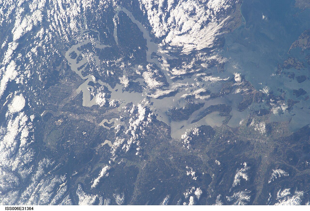
 Photo: Earth Science and Remote Sensing Unit , Lyndon B. Johnson Space Center · Public domain
Household incomes in Electoral Area C, North Okanagan top those of 90% of Canadian towns
Unemployment in Electoral Area C, North Okanagan stood at 8% on census day 2021; the middle of Canadian towns is 9.9%. The census counted 385 people working in Electoral Area C, North Okanagan and 1,235 residents commuting to a fixed workplace. 76% of people aged 15 to 64 in Electoral Area C, North Okanagan had a job at the 2021 census, and the middle of Canadian towns sits at 73%.
What Electoral Area C, North Okanagan’s work numbers say
Higher incomes than most towns
At $104,900 before tax in 2020, the median household compares with $85,900 in the middle of Canadian towns. Household income ↓
Shorter trips than most towns
Commutes take 22.9 minutes on average, against 26 in the middle of Canadian towns; 6.5% take an hour or more. The trip to work ↓
Written from the data on this page: Statistics Canada’s 2021 Census, its commuting tables, Employment Insurance and the Labour Force Survey.
Jobs and income in Electoral Area C, North Okanagan earn A
Better than 87% of Canadian towns on three measures together, #36 of 254 in British Columbia.
Its strongest measure is household income; its weakest, the share of 15-to-64s in work.
Graded against Canadian towns of 2,500 people or more; less unemployment and a shorter commute count in its favour.
How the grade works
Census 2021 measures, weighed equally against every Canadian town and neighbourhood of 2,500 people or more: the share of residents aged 15 to 64 in work, median household income (2020), the unemployment rate and the average commute. Each becomes a percentile; their average sets the letter.
Half the households in Electoral Area C, North Okanagan had more than $104,900 in 2020
Set beside British Columbia’s towns, where the median is $86,900, Electoral Area C, North Okanagan sits 21% above. One of the 8 other places of 2,500+ in the North Okanagan census division has a higher median. That year, 2020, brought emergency benefits that count in these totals, before tax.
Statistics Canada, 2021 Census: median total income of households in 2020, before tax (a neighbourhood’s estimated from its dissemination areas’ income groups).
22.9 minutes from Electoral Area C, North Okanagan to work, under the middle of Canadian towns
Trips under 15 minutes: 39%, close to the middle of British Columbia’s towns. Long trips, an hour or more, are about as common as in the middle of British Columbia’s towns: 6.5%. Timed exactly, the average is 20.3 minutes (Statistics Canada). The middle of British Columbia’s towns averages 26.4 minutes.
Statistics Canada, 2021 Census: commuting duration in five bands; our average uses each band’s middle (75 minutes for an hour or more), so it runs about two minutes above Statistics Canada’s own.
Each working day, more people leave Electoral Area C, North Okanagan for work than come in
It sends out some 4 workers for every one it takes in. Of those who commute, 9.8% stay within the municipality; the middle of Canadian towns is 70%.
People with no fixed workplace are in neither count.
Where people work
In the other direction the biggest source is Vernon, with 135.
Statistics Canada, 2021 Census (98-10-0459): commuting flows between municipalities (census subdivisions), rounded to 5; linked names have their own pages.
In and out of work in Electoral Area C, North Okanagan
Of the 8 other places of 2,500 people or more in the North Okanagan census division, 4 have a smaller share of 15-to-64s in work.
62% of residents aged 15 and over were in the labour force, in work or seeking it. Many residents are past working age, so among everyone 15 and over the share in work drops to 57%. A more recent figure, for the wider area: 56% in work in October 2026, by the Labour Force Survey. The census was taken on 11 May 2021, mid-pandemic, when lockdowns had pushed unemployment up and sent many to work from home.
Statistics Canada, 2021 Census: people in work of any age over residents aged 15 to 64, and the census unemployment rate (15 and over); the 25-to-54 rate is Statistics Canada’s own (98-10-0485). The Labour Force Survey and business counts are context, not grade inputs.
Without a car, 5.6% of Electoral Area C, North Okanagan’s commuters get to work
22% worked at home on census day, about the same as in the middle of Canadian towns. Few ride transit: 1.8%, where the middle of Canadian towns has 3.5%. Nearly everyone drives: 92% of commuters go by car, truck or van.
Statistics Canada, 2021 Census: main mode of commuting; average durations by mode from table 98-10-0458 (whole municipalities only).
EI claims in the North Okanagan census division run 25% above their 2019 level
At its peak, in February 2021, 4,850 people were on EI, 2.5 times the 2019 average. That works out to around 4.3 beneficiaries per 100 people aged 15 to 64 across the division.
Statistics Canada, Employment Insurance beneficiaries by census division (14-10-0323): all income benefits, not seasonally adjusted. Area behind the EI beneficiaries figures: the North Okanagan census division. EI counts are context, not part of any grade.
People receiving Employment Insurance each month, as a share of the 2019 average (100).
How walkable Electoral Area C, North Okanagan is: B−
Better than 48% of Canadian towns on two measures together, #197 of 254 in British Columbia.
OpenStreetMap (© OpenStreetMap contributors, ODbL); active commuting from the 2021 Census.
85th of 739: where Electoral Area C, North Okanagan ranks among Canadian towns of 3,500 to 6,800
| # | Place | People | In work, 15–64 | Unemployment | Household income | Grade |
|---|---|---|---|---|---|---|
| 1 | Cornwallis Manitoba | 4,705 | 85% | 2.1% | $99K | A+ |
| 2 | New Maryland New Brunswick | 4,455 | 81% | 6.5% | $118K | A+ |
| 3 | South Tuxedo Manitoba | 3,629 | 85% | 6.8% | $110K | A+ |
| … | ||||||
| 8 | Smithers British Columbia | 5,627 | 83% | 6% | $85K | A+ |
| … | ||||||
| 16 | Electoral Area A, Bulkley-Nechako British Columbia | 5,829 | 82% | 7.4% | $98K | A+ |
| … | ||||||
| 19 | Invermere British Columbia | 4,305 | 82% | 5.9% | $84K | A+ |
| … | ||||||
| 83 | York Road Ontario | 4,931 | 80% | 11% | $109K | A |
| 84 | Bowen Island British Columbia | 4,501 | 88% | 6.1% | $112K | A |
| 85 | Electoral Area C, North Okanagan British Columbia | 5,029 | 76% | 8% | $105K | A |
| 86 | Douglas British Columbia | 4,555 | 84% | 7.5% | $126K | A |
| 87 | North Glenora Alberta | 3,693 | 75% | 12% | $97K | A |
| … | ||||||
| 739 | Chertsey Quebec | 5,678 | 64% | 8.6% | $58K | D− |
Ordered by Jobs & income Grade: the top three, the places either side of Electoral Area C, North Okanagan, and others among British Columbia’s towns.
Work in and around Electoral Area C, North Okanagan
| Place | In work, 15–64 | Unemployment | Household income | Average trip | Jobs | Walk |
|---|---|---|---|---|---|---|
| Electoral Area C, North Okanagan | 76% | 8% | $105K | 22.9 min | A | B− |
| Electoral Area B, North Okanagan 2.6 km | 75% | 6.4% | $83K | 19.6 min | A− | C+ |
| Vernon 5.2 km | 74% | 8.2% | $74K | 19.8 min | B | A− |
| Coldstream 6.5 km | 77% | 7.8% | $112K | 21.9 min | A | B− |
| Okanagan (Part) 1 12.7 km | 67% | 13% | $65K | 28.2 min | D | C− |
| Spallumcheen 13.7 km | 78% | 6.1% | $85K | 24.2 min | B+ | B− |
| Armstrong 17.1 km | 80% | 6.8% | $78K | 21.8 min | A− | B+ |
The people of each place: the share in work, unemployment, household income and the average commute, with both grades once they come.
What this data can and can’t tell you
What each figure measures for Electoral Area C, North Okanagan, where it comes from, and what it leaves out.
- Unemployment. Of everyone 15 or older who was working or job-hunting in the census week, the part still looking. Someone not seeking work isn’t in it at all.
- Household income. Half of households had more than this before tax in 2020, half less, counting every source of income. For a neighbourhood we estimate the median from the income brackets of its dissemination areas.
- Trip times. Commuters picked a band for their usual trip (under 15 minutes, 15 to 29, and so on). We place each person at the middle of their band, which lands a little above Statistics Canada’s own timed average.
- Where people commute. Statistics Canada’s place-of-work table counts people with a usual place of work by the municipality they live in and the one they work in. Jobs here are people whose usual workplace is in the municipality, wherever they live.
- Employment Insurance. Statistics Canada counts EI beneficiaries each month by census division. Seasonal work makes it swing, so read it as a trend, not a jobless rate.
- The Labour Force Survey. Monthly, and only for metro areas and economic regions. It is the up-to-date rate we set beside the census’s 2021 snapshot.
- In work. People in work of any age over residents aged 15 to 64 (2021 Census). The census doesn’t cross work with age below the municipality, so this is the one rate every town and neighbourhood has; retirees don’t weigh on it.
- Which towns we compare. Towns and city neighbourhoods of 2,500 people or more, never a whole city and never a First Nations reserve. Middles are medians.
Questions about work in Electoral Area C, North Okanagan
What is the average household income in Electoral Area C, North Okanagan?
At $104,900 before tax in 2020, the median household in Electoral Area C, North Okanagan compares with $85,900 in the middle of Canadian towns.
How do people in Electoral Area C, North Okanagan get to work?
92% of commuters drive, 1.8% take public transit, 3.2% walk and 0.6% cycle; 22% of everyone in work worked at home on census day.
How long is the commute from Electoral Area C, North Okanagan?
The average commute is 22.9 minutes; 39% of trips take under 15 minutes and 6.5% an hour or more.
Where do people in Electoral Area C, North Okanagan work?
Only 9.8% work in Electoral Area C, North Okanagan itself; the rest go first to Vernon (730) and Kelowna (75).
How many jobs are there in Electoral Area C, North Okanagan?
The 2021 census found about 385 people with their usual workplace in Electoral Area C, North Okanagan, or 0.3 for each resident who travels to a fixed job. In June 2026, 184 businesses with employees were on Statistics Canada’s count.
What is the unemployment rate in Electoral Area C, North Okanagan?
The 2021 census found 8% unemployed, against 9.9% in the middle of Canadian towns; the Labour Force Survey’s latest, for the Thompson-Okanagan economic region, is 6.6% (October 2026).
Sources: Statistics Canada, 2021 Census of Population (Census Profile) · Statistics Canada, tables 98-10-0458 and 98-10-0459 (commuting) · Statistics Canada, table 14-10-0323 (EI beneficiaries) · Statistics Canada, Labour Force Survey (14-10-0459, 14-10-0462) · Statistics Canada, Canadian Business Counts (33-10-1176) · grades: TownRatings. Under the Statistics Canada Open Licence.
Adapted from Statistics Canada (Census of Population 2021, population estimates 2025, 2021 census boundaries) under the Statistics Canada Open Licence; this does not constitute an endorsement by Statistics Canada. Neighbourhood names in some cities © OpenStreetMap contributors (ODbL).