
SodaWorksAtKeeler, 1901
Keeler’s story
143 years in pictures
Census counts: 66 in 2000, 71 in 2020. The archive holds 7 old photos and papers going back to 1901 and a map from 1951 on.
- 1883Keeler is settled
Each edition grades its towns against each other only.

This town of 28 people was settled in 1883.
79% of residents live below the poverty line in Keeler, above both the California town median (10%) and the median of U.S. towns (9.6%). 60% of the land in Keeler is conserved, where California’s towns sit at 4.3% and U.S. towns at 4.3%. Keeler has fewer than 1,000 residents, too few for fair grades; the figures below are still real.
Census counts: 66 in 2000, 71 in 2020. The archive holds 7 old photos and papers going back to 1901 and a map from 1951 on.
In a town this size, neighbors are the best guide. Ask them anything.
Ordered by what stands out in Keeler.
1.4 miles of trail. In Keeler, the trail network density is 1.2 miles per square mile.
Trails & parks © OpenStreetMap contributors · Conserved land: USGS PAD-US
Keeler’s natural-hazard score from FEMA comes in at 79 of 100. 37% of the town’s expected losses from natural hazards come from avalanches, followed by heat waves at 26%.
FEMA National Risk Index · OpenFEMA
Keeler’s peak summer temperature stands at 99°F.
NOAA U.S. Climate Normals, 1991–2020
For adults in Keeler, the share who say their health is fair or poor is 26%. CDC measures, 32 in all: Keeler beats California on 13 and trails on 10. Just over one in ten adults in Keeler binge drink; 17% have diabetes.
| Keeler | California towns | U.S. towns | |
|---|---|---|---|
| High blood pressure (CDC PLACES) | 45% | 31% | 35% |
| Binge drink (CDC PLACES) | 12% | 16% | 16% |
| Diabetes (CDC PLACES) | 17% | 12% | 12% |
| Frequent physical distress (CDC PLACES) | 18% | 14% | 14% |
| What stands out | Keeler | CA |
|---|---|---|
| Fewer uninsured adults | 6.8% | 10.6% |
| Fewer adults facing housing insecurity | 9.9% | 14.9% |
| More adults who have had cancer | 13.7% | 6.4% |
CDC PLACES 2025 · modeled estimates for adults · CMS · HRSA
Museums, parks, gardens and other places to visit around Keeler. Close and well known come first.
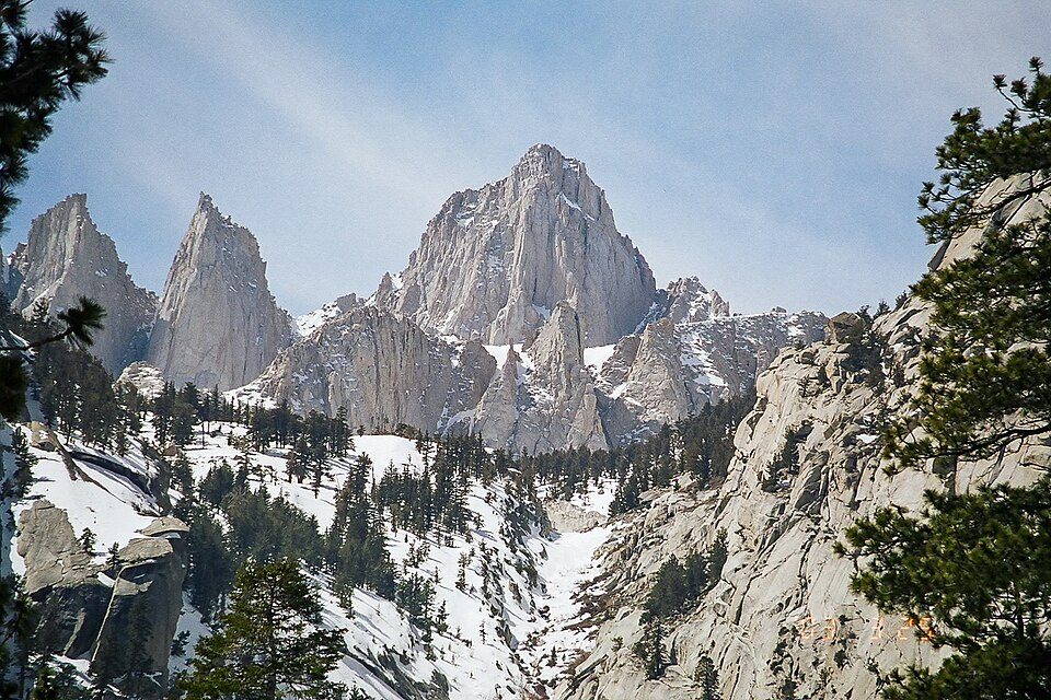 Big draw24 mi MountainMount Whitney
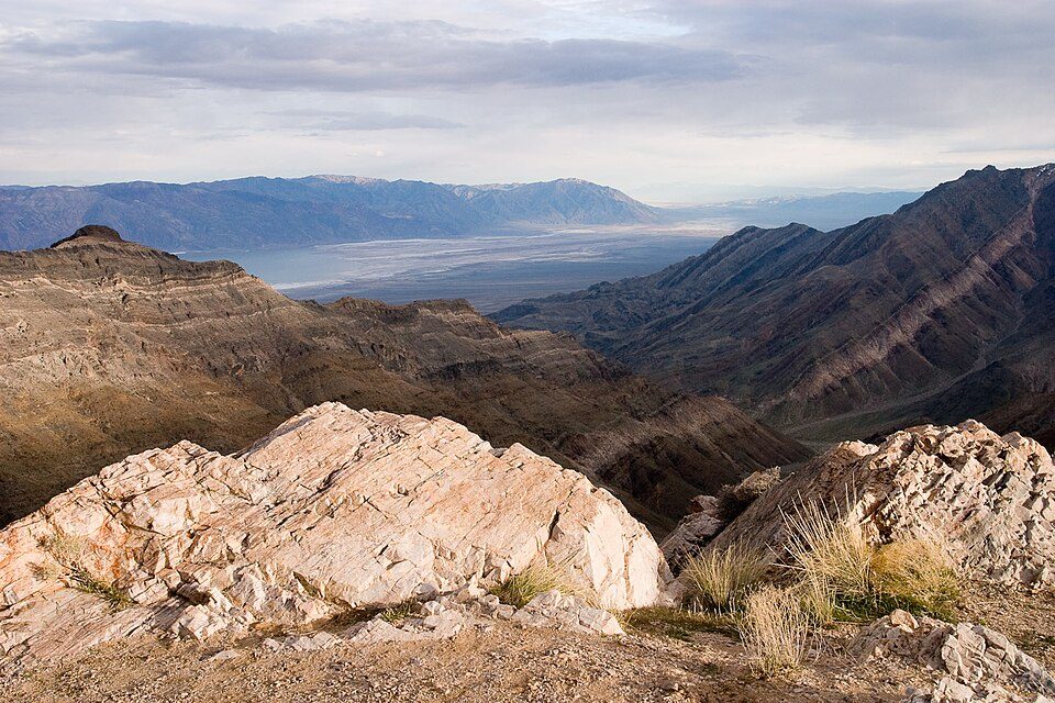 Big draw9 mi National ParkDeath Valley National Park1.3M visitors a year
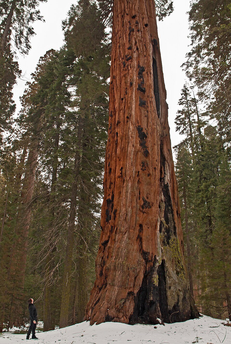 Big draw20 mi National ParkSequoia National Park1.4M visitors a year
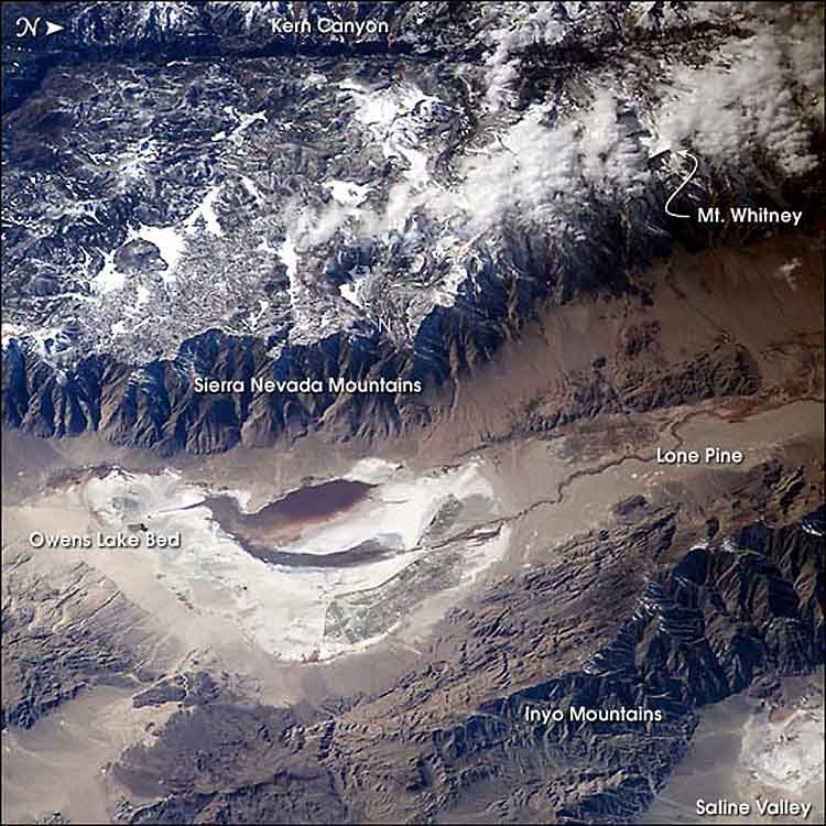 6 mi LakeOwens Lake
 22 mi National Historic SiteManzanar National Historic Site96K visitors a year
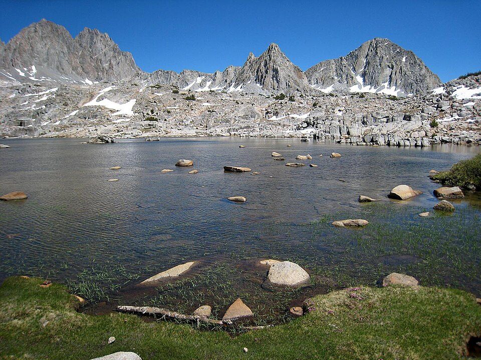 30 mi National ParkKings Canyon National Park780K visitors a year
Mount Whitney: Geographer (talk · contribs), CC BY 1.0 · Death Valley National Park: Greg Willis from Denver, CO, usa, CC BY-SA 2.0 · Sequoia National Park: Alberto Carrasco Casado, CC BY 2.0 · Owens Lake: Picture prepared for Wikipedia by Adrian Pingstone in November 2003., Public domain · Manzanar National Historic Site: Dorothea Lange, Public domain · Kings Canyon National Park: NileGuide.com (Josh Steinitz), CC BY 2.0
Keeler is unincorporated, so Inyo County and regional agencies provide most services.
EPA SDWIS (Oct 9, 2026) · HIFLD + EIA-861 2025 · Census 2020 ZCTAs · NCES 2024–25 · registration: vote.gov, updated Nov 18, 2024.
None within 15 miles of Keeler; the nearest are
College town 79 of every 100 Keeler residents are enrolled in college, against 8 across California.
Place in California, United States
Keeler, formerly known as Hawley, is an unincorporated community in Inyo County, California, United States. Keeler is located on the east shore of Owens Lake 11.5 miles (19 km) south-southeast of New York Butte. The population was 71 people at the 2020 census, up from 66 at the 2010 census. For statistical purposes, the United States Census Bureau has defined Keeler as a census-designated place (CDP).
From Wikipedia, licensed CC BY-SA 4.0 · facts via Wikidata (CC0)
Short answers, built from the data on this page.
Keeler has fewer than 1,000 residents, too few for fair grades; the figures below are still real.
Ask a question, answer one, post a photo or an event. Free, and the parts only a neighbor would know are the parts worth reading.


