160 years in pictures
Census counts: 574 in 2000, 593 in 2020. The archive holds 12 old photos and papers going back to 1928 and 3 maps from 1951 on.
2 places on the National Register of Historic Places.
- 1866Independence is settled
Each edition grades its towns against each other only.

Home to 2 places on the National Register of Historic Places.
32% of residents are 65 or older in Independence, above both California’s towns (16%) and U.S. towns (18%). 68% of the land in Independence is conserved, above both California’s towns (4.3%) and U.S. towns (4.3%). Its National Register listings include Shorty Lovelace Historic District and Inyo County Courthouse. Independence has fewer than 1,000 residents, too few for fair grades; the figures below are still real.
Where Independence beats most towns.
In a town this size, neighbors are the best guide. Ask them anything.
Census counts: 574 in 2000, 593 in 2020. The archive holds 12 old photos and papers going back to 1928 and 3 maps from 1951 on.
2 places on the National Register of Historic Places.
Museums, parks, gardens and other places to visit around Independence. Close and well known come first.
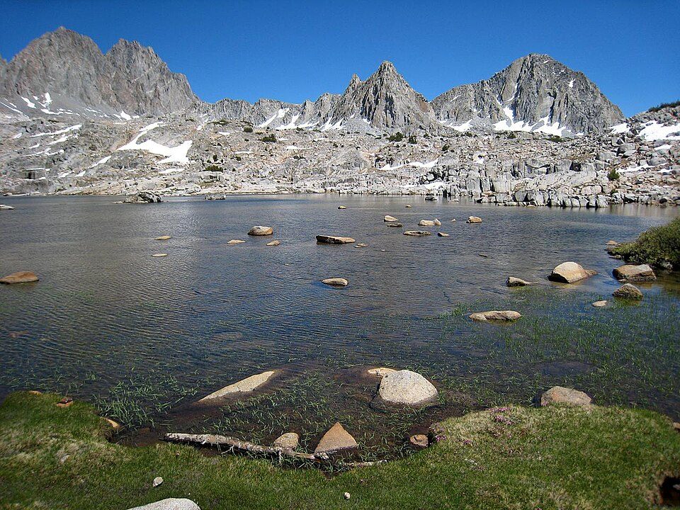
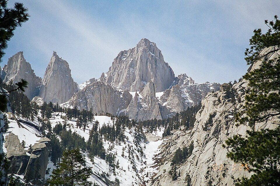
Big draw18 mi MountainMount Whitney
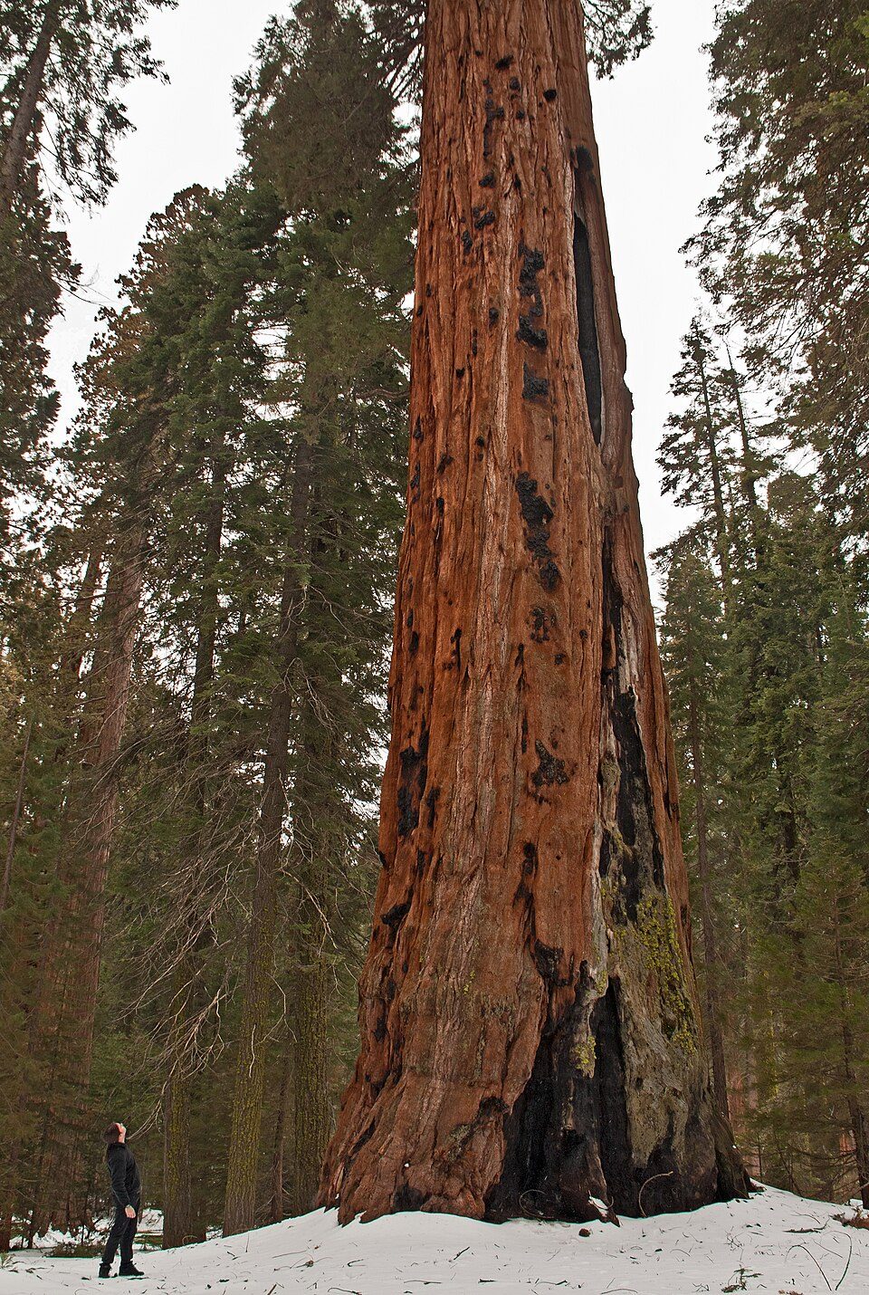
Big draw13 mi National ParkSequoia National Park1.4M visitors a year
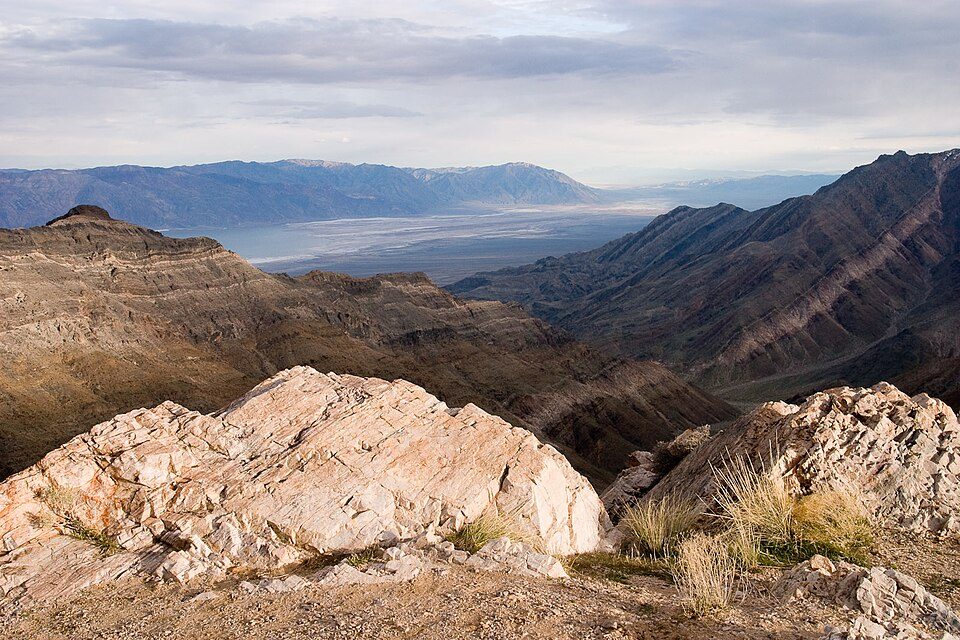
Big draw15 mi National ParkDeath Valley National Park1.3M visitors a year
7 mi National Historic SiteManzanar National Historic Site96K visitors a year
9 mi National ParkKings Canyon National Park780K visitors a year
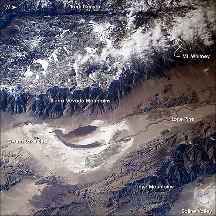
31 mi LakeOwens LakeMount Whitney: Geographer (talk · contribs), CC BY 1.0 · Sequoia National Park: Alberto Carrasco Casado, CC BY 2.0 · Death Valley National Park: Greg Willis from Denver, CO, usa, CC BY-SA 2.0 · Manzanar National Historic Site: Dorothea Lange, Public domain · Kings Canyon National Park: NileGuide.com (Josh Steinitz), CC BY 2.0 · Owens Lake: Picture prepared for Wikipedia by Adrian Pingstone in November 2003., Public domain
Independence is unincorporated, so Inyo County and regional agencies provide most services.
EPA SDWIS (Oct 9, 2026) · HIFLD + EIA-861 2025 · Census 2020 ZCTAs · NCES 2024–25 · registration: vote.gov, updated Nov 18, 2024.
Ordered by what stands out in Independence.
The concentration of trails in Independence is 2.8 miles per square mile. 13 miles of trail wind through 1 park or preserve. One park or preserve covers 2 acres in the town.
| Biggest places to walk | Trails | Acres |
|---|---|---|
| 1. Dehy Park | — | 2 |
Trails & parks © OpenStreetMap contributors · Conserved land: USGS PAD-US
The public schools here belong to the Owens Valley Unified school district. Its two schools are below. Public school enrollment in Independence: 99 students across 2 schools.
| School | Level | Students | Letter |
|---|---|---|---|
| Owens Valley ElementaryLargest public elementary schoolGrades K–8 | Grades K–8 | 76 | – |
| Owens Valley HighLargest public high schoolGrades 9–12 | Grades 9–12 | 23 | – |
NCES · EDFacts
Jobs based in Independence grew to 357 in 2023, 62 more than in 2013. For residents in the town, the share who live below the poverty line is 6.5%. The top destinations are Bishop (21%), Big Pine (7%) and Fresno (5%). The median household income for Independence comes to $74,000.
| Independence | California towns | U.S. towns | |
|---|---|---|---|
| Average trip to work | 15 minutes | 28 minutes | 25 minutes |
| Below the poverty line | 6.5% | 10% | 9.6% |
| Median household income | $74,000 | $95,000 | $80,000 |
| Working residents who work in town | 10% | 6.6% | 8% |
Census LEHD 2023 · ACS
Independence’s median rent is $1,203 a month. In the year to September 2026, typical home values climbed 8.3%. The share of households in Independence who own their home: 85%.
| Independence | California towns | U.S. towns | |
|---|---|---|---|
| Households that own their home | 85% | 64% | 73% |
| Median rent | $1,203 a month | $1,896 a month | $1,185 a month |
Census ACS, 2020–24 · Zillow Home Value Index · Redfin Data Center
FEMA puts 54% of Independence’s expected hazard losses down to avalanches, and 20% to heat waves. Storm and flood damage is expected to run higher than in 80% of U.S. communities.
FEMA National Risk Index · OpenFEMA
For Independence, the July high is 99°F.
NOAA U.S. Climate Normals, 1991–2020
Nearly a quarter of adults have been diagnosed with depression in Independence. CDC measures, 32 in all: Independence beats California on 7 and trails on 9. Among adults in the town, 14% have diabetes and 76% had a checkup this year.
| Independence | California towns | U.S. towns | |
|---|---|---|---|
| High blood pressure (CDC PLACES) | 38% | 31% | 35% |
| Diabetes (CDC PLACES) | 14% | 12% | 12% |
| Yearly checkup (CDC PLACES) | 76% | 72% | 79% |
| Fair or poor health (CDC PLACES) | 24% | 22% | 19% |
| What stands out | Independence | CA |
|---|---|---|
| Fewer uninsured adults | 6.8% | 10.6% |
| Fewer older adults who have lost all their teeth | 7.5% | 10.6% |
| More adults who have had cancer | 10.6% | 6.4% |
CDC PLACES 2025 · modeled estimates for adults · CMS · HRSA
None within 15 miles of Independence; the nearest are
About 2 of every 100 Independence residents are enrolled in college, against 8 across California.
Where Independence’s working residents go each day. Line width shows the share.
Census LEHD 2023
2 places in Independence on the National Register of Historic Places.
Short answers, built from the data on this page.
Independence has fewer than 1,000 residents, too few for fair grades; the figures below are still real. Home to 2 places on the National Register of Historic Places.