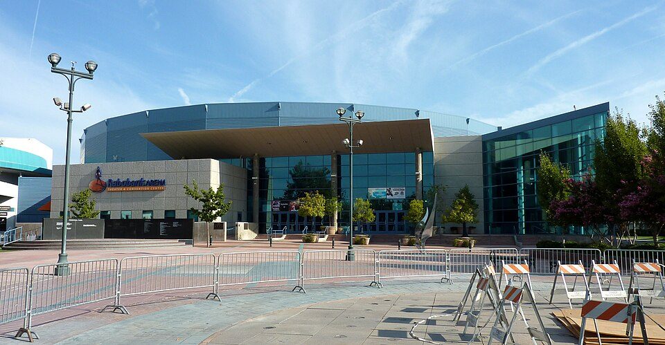
Nothing mapped in El Adobe itself; Dignity Health Arena is the nearest draw
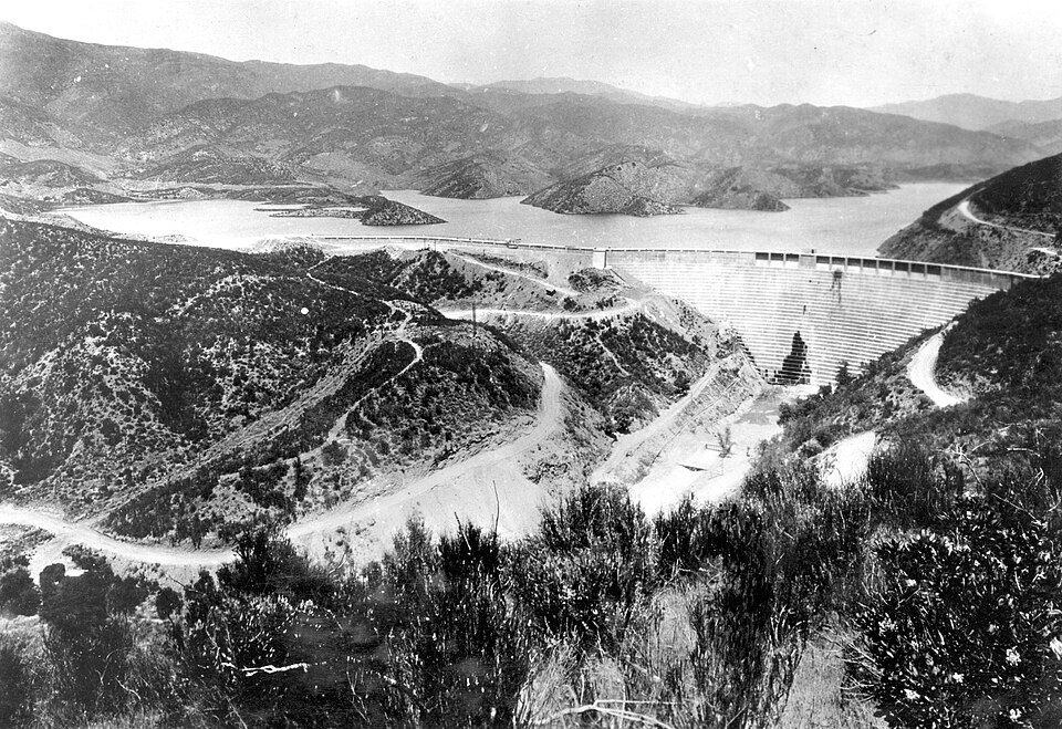
Around El Adobe, the places to visit include 4 museums, a stadium & arena and a national monument. The town has no place on our list of its own; 8 are within 40 miles. Visits to Kern County Museum run to about 85K a year. If you have a day, head to St. Francis Dam, 55 mi away.
St. Francis Dam
Former dam in Los Angeles County, California, US.
The towns around it, and where to stay →
Where each one is
The 8 outside town cluster to the north.
Orange: El Adobe. Numbers: the best-known places, matching the list below. © OpenStreetMap contributors
Every place, in and near El Adobe
Its 13 places all lie within 60 miles.
 2
 3
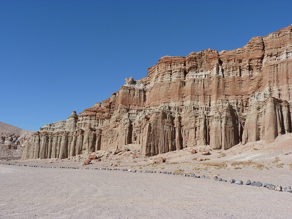
Red Rock Canyon State Park
California state park in Kern County featuring scenic desert cliffs, buttes, and spectacular rock formations.
 4
 5
 6
 7
César E. Chávez National Monument
U.S. National Monument in Keene, Kern County, California.
 9
 10
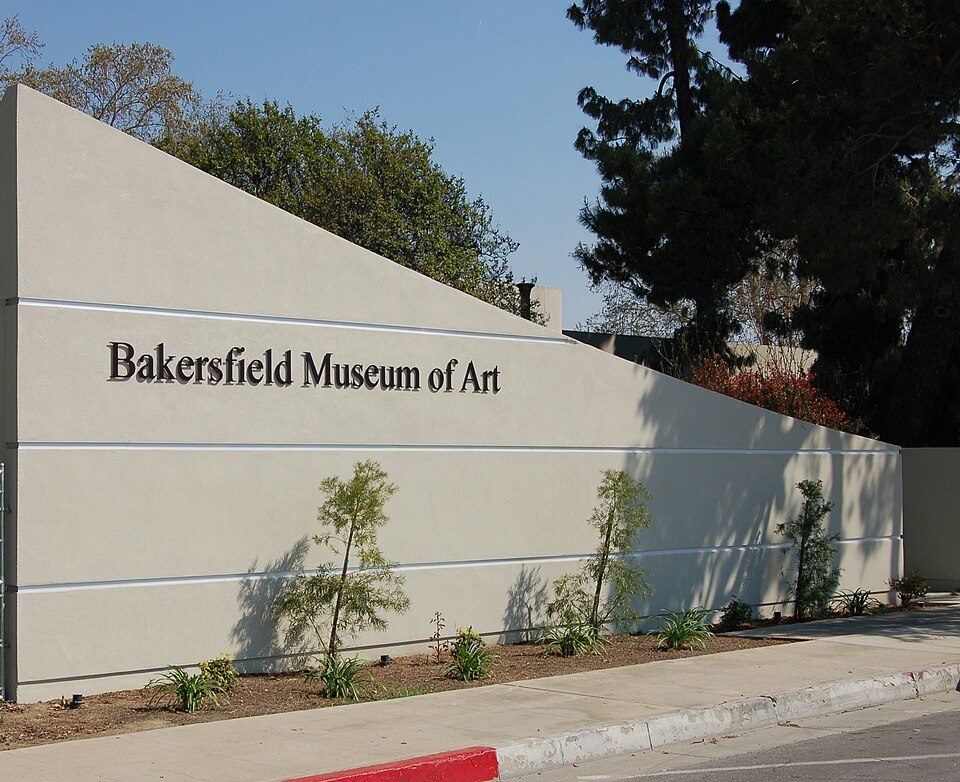 11
 12
Ranked by how many people look them up, so the famous places lead and the local favorites follow.
Parks and trails in El Adobe →
Photo credits
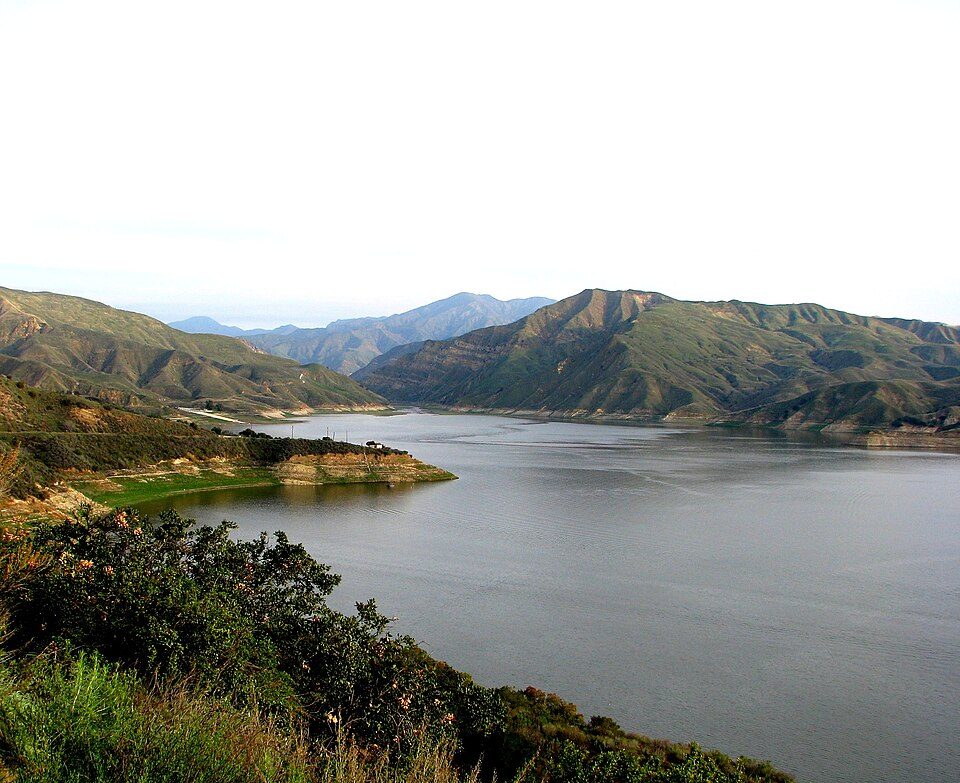
St. Francis Dam: Stearns, H.T. USGS, Public domain · Lake Piru: tomsaint11, CC BY 2.0 · Red Rock Canyon State Park: Jean trans h+, CC BY-SA 4.0 · Dignity Health Arena: Bobak Ha'Eri, CC BY 3.0 · Antelope Valley California Poppy Reserve: Thomas, CC BY 2.0 · Fort Tejon: Yellowute at English Wikipedia, Public domain · César E. Chávez National Monument: Bobak Ha'Eri, CC BY 3.0 · Kern County Museum: (WT-de) Mistoffeles, CC BY-SA 4.0 · ESMoA: Teamone Esmoa, CC BY-SA 3.0 · Bakersfield Museum of Art: Skyman9999. Skyman9999, CC0 · Western Hotel: Rosi25, CC BY-SA 3.0


