
Kern County Museum
The Kern County Museum is a history museum located in Bakersfield, California.

A museum inside Bakersfield
Summers are hot
July and August highs run 98–99°, and about 112 days a year reach 90°. When to go ↓
You can stay in Bakersfield
Kern County Museum is inside Bakersfield, which has 78 places to stay, so you won’t need a base farther out. Where to stay ↓
Best months: Feb, Mar, Apr, Oct and Nov
February, March, April, October and November are the mild months, with highs of 66–82°. When to go ↓
An airport 3 miles away
Meadows Field (BFL) has airline service, about 3 miles from Kern County Museum.
Established in 1941
Kern County Museum dates from 1941. About ↓
Written from NOAA 1991–2020 normals, Overture places to stay, Census town figures, Wikidata and Wikipedia.
Weather, month by month
Typical highs and lows in Bakersfield. Green months are the mild ones.
Kern County Museum
The Kern County Museum is a history museum located in Bakersfield, California. Its main focus is the history of Kern County. Pioneer Village, located on 16 acres (65,000 m2), contains over 50 original buildings from around the county, related to life in the late 19th century. Other features include: Lori Brock Children's Discovery Center, Black Gold exhibit, and Neon Plaza. The museum is accredited by the American Alliance of Museums.
One of the most recognizable structures at the museum is the Beale Memorial Clock Tower, located on the lawn in front of it. The clock tower was originally constructed in 1904 in the center of the intersection of 17th St. and Chester Ave. It was destroyed in the 1952 earthquake and rebuilt at this site in 1964.
- Type
- Museum
- Established
- 1941
- Wikipedia readers
- 2.2K a year
Where to stay near Kern County Museum
The closest towns with hotels, motels or campgrounds are Bakersfield (78) and Oildale (9).
Compare 8 towns
| Town | From Kern County Museum | Drive | Places to stay | People | Typical home | Safety |
|---|---|---|---|---|---|---|
| Bakersfield | in town | — | 78 55 hotels · 12 motels · 1 inn or B&B · 5 lodges & cabins · 2 campgrounds · 3 RV parks | 422,165 | $372K | D |
| Oildale | 3 mi north | 5 min | 9 6 hotels · 1 inn or B&B · 2 RV parks | 34,687 | $239K | — |
| Benton Park | 3 mi south | 5 min | 7 7 hotels | 5,707 | $241K | — |
| Casa Loma | 4 mi south | 5 min | 7 2 hotels · 5 motels | 1,587 | $256K | — |
| East Niles | 6 mi east | 10 min | 6 2 hotels · 1 motel · 1 campground · 2 RV parks | 28,532 | $252K | — |
| Rexland Acres | 6 mi south | 10 min | 4 1 hotel · 3 motels | 2,760 | $200K | — |
| Choctaw Valley | 8 mi northeast | 15 min | 2 2 campgrounds | 34 | $725K | — |
| Rosedale | 11 mi west | 15 min | 2 2 RV parks | 18,877 | $609K | — |
Day trip from
Straight-line miles.
Getting there
Nearest airports with airline service
Also near Kern County Museum
Other well-known places within 70 miles. Numbered ones are on the map above.
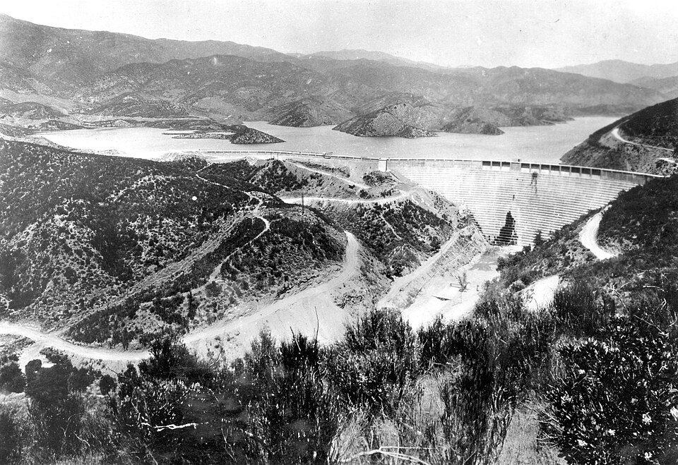 Big draw65 mi DamSt. Francis Dam
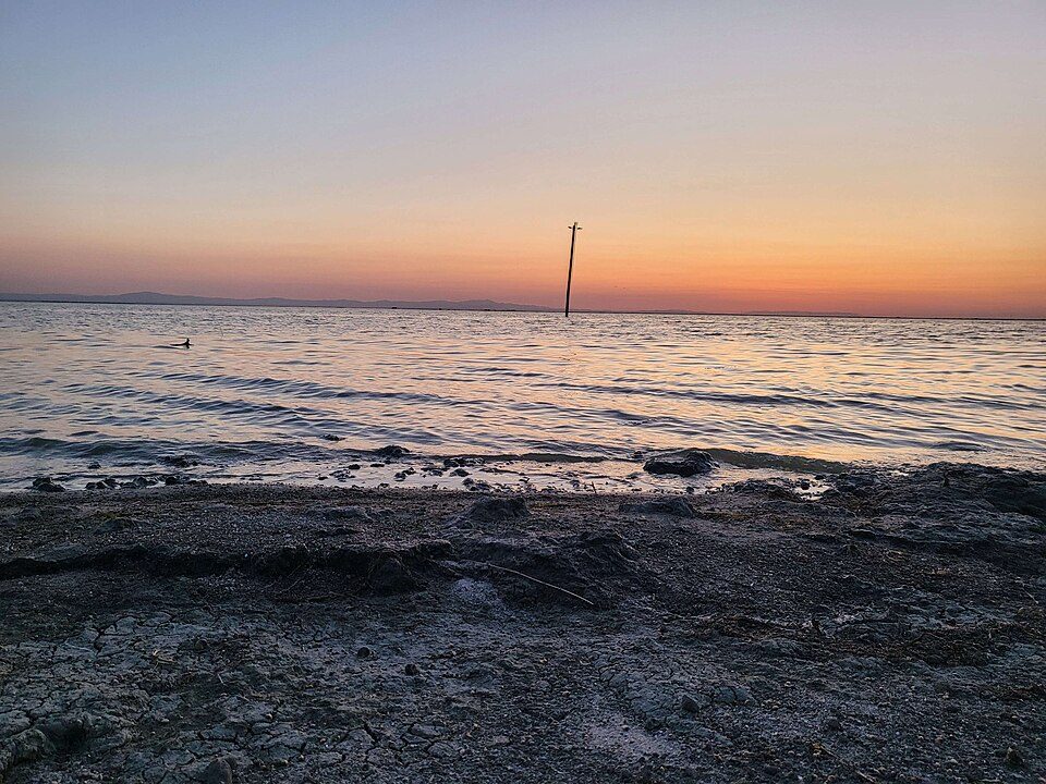 62 mi LakeTulare Lake
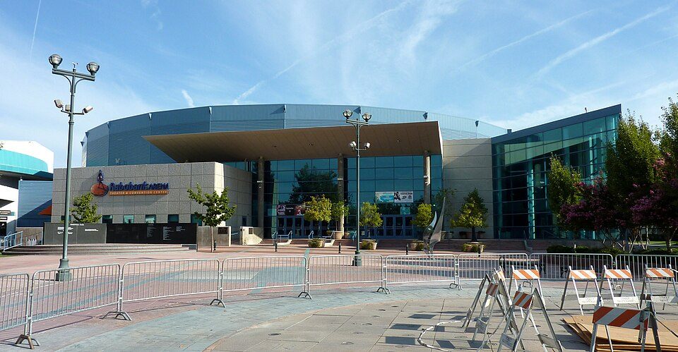 1in town Stadium & arenaDignity Health Arena
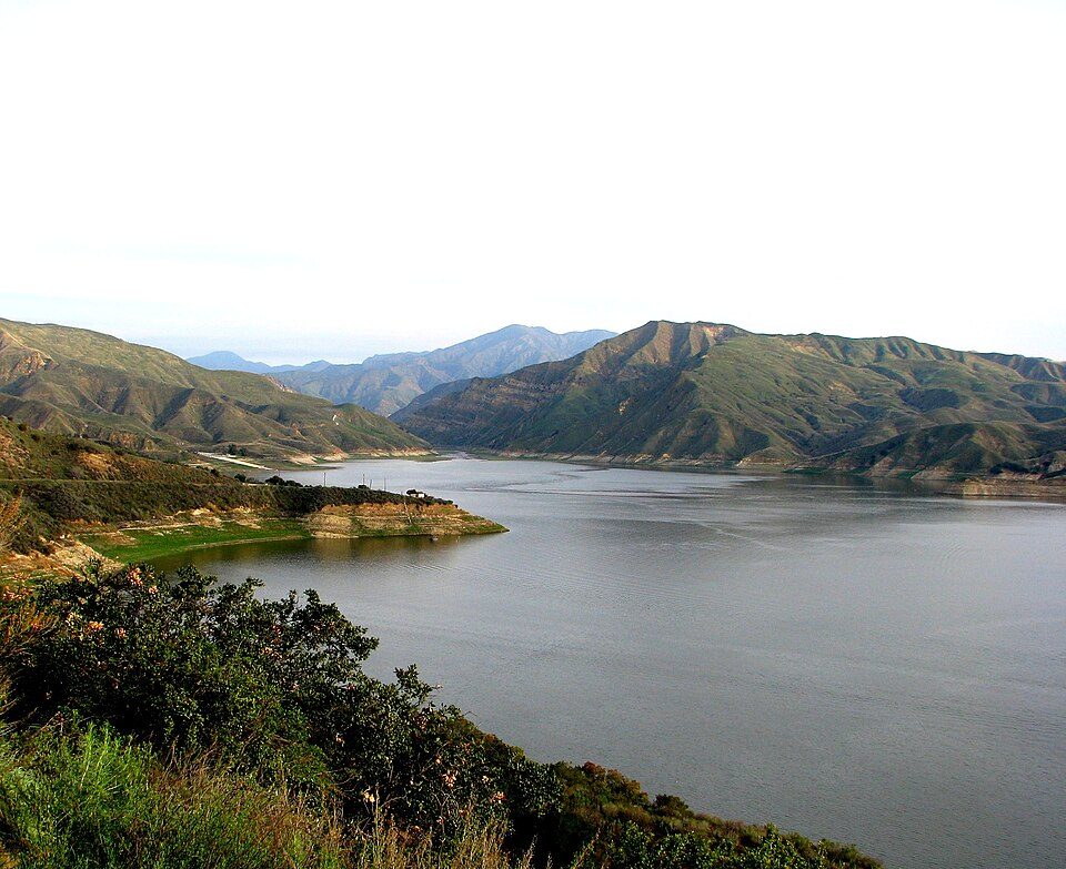 65 mi LakeLake Piru
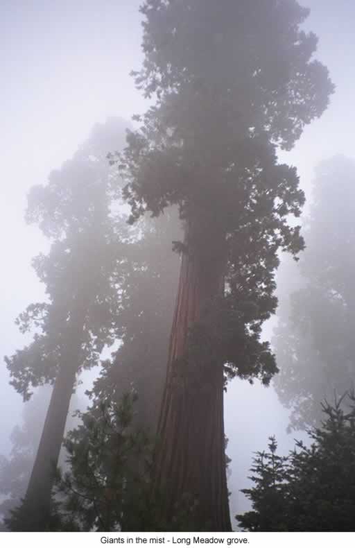 53 mi National forestSequoia National Forest
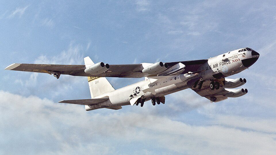 70 mi LandmarkBalls 8
 65 mi National forestLos Padres National Forest
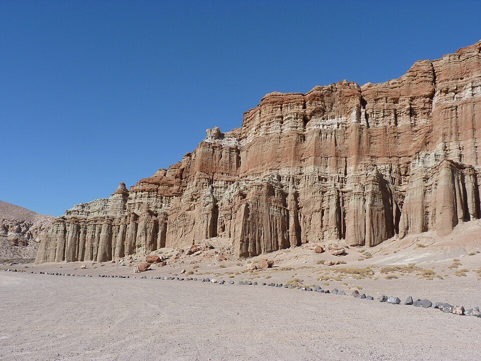 58 mi State parkRed Rock Canyon State Park
Photo credits
St. Francis Dam: Stearns, H.T. USGS, Public domain · Tulare Lake: Trace Fleeman Garcia, CC0 · Dignity Health Arena: Bobak Ha'Eri, CC BY 3.0 · Lake Piru: tomsaint11, CC BY 2.0 · Sequoia National Forest: US Forest Service, Public domain · Balls 8: NASA/Tony Landis, Public domain · Los Padres National Forest: Taken by Antandrus, Public domain · Red Rock Canyon State Park: Jean trans h+, CC BY-SA 4.0


Visiting Kern County Museum
Is Kern County Museum in Bakersfield?
Yes. It’s inside Bakersfield, CA.
When is the best time to visit Kern County Museum?
February, March, April, October and November, with highs of 66–82°.
What is the closest airport to Kern County Museum?
Meadows Field (BFL), about 3 miles away. The nearest big hub is Hollywood Burbank/Bob Hope (BUR), about 90 miles.
Where should I stay near Kern County Museum?
Bakersfield (in town, 78 places to stay), Oildale (3 mi, 9 places to stay) and Benton Park (3 mi, 7 places to stay).
Tips from people in Bakersfield
No tips yet. Ask, or answer, in Bakersfield’s Town Square.
Sources: National Park Service · ski areas © OpenSkiMap / OpenStreetMap contributors · Wikidata · Wikipedia readership · NOAA climate normals · U.S. Census.