
César E. Chávez National Monument
César E. Chávez National Monument, also known as Nuestra Señora Reina de la Paz, is a 116-acre (47 ha) U.S.

A national monument inside Keene
Visits hit a record in 2025
The National Park Service counted 31,497 visitors in 2025, the most in 10 years of counts. Visitors ↓
Summers are hot
July and August highs run 93–93°. When to go ↓
Tehachapi is the nearest base
Tehachapi is 9 miles southeast, with 9 places to stay. Where to stay ↓
Best months: Mar, Oct and Nov
March, October and November are mild and quieter than average, with highs of 63–76°. When to go ↓
A day trip from Los Angeles
Los Angeles is about 84 miles south (straight-line). Where to stay ↓
Written from National Park Service visitor counts, NOAA 1991–2020 normals, Overture places to stay, Census town figures, Wikidata and Wikipedia. Updated when the Park Service posts a new month.
Crowds and weather, month by month
Bars: average monthly visitors, 2022–2025. Line: the typical afternoon high. Green months are mild and quieter than average.
César E. Chávez National Monument
César E. Chávez National Monument, also known as Nuestra Señora Reina de la Paz, is a 116-acre (47 ha) U.S. national monument in Keene, California, located about 32 miles away from Bakersfield, California. The property was the headquarters of the United Farm Workers (UFW), and home to César Chávez from the early 1970s until his death in 1993.
Chávez's gravesite is located in the property's gardens along with that of his wife, Helen Fabela Chávez. Originally developed as a headquarters and worker housing area for a quarry, it served as a tuberculosis sanitarium (known as Stony Brook Sanitorium) in the early 1900s, until its acquisition by the UFW in the early 1970s.
- Type
- National Monument
- Established
- 2012
- Area
- 116 acres
- Run by
- National Park Service
- Listed
- National Register of Historic Places (2011) · California Historical Landmark (2013) · National Historic Landmark (2012)
- Wikipedia readers
- 5.5K a year
- Official site
- nps.gov/cech
Before you go
Where to stay near César E. Chávez National Monument
The closest towns with hotels, motels or campgrounds are Tehachapi (9) and Bakersfield (78).
Tehachapi
11,852 people
9 mi southeast of César E. Chávez National Monument Visitor Center · 8 mi to the park
Bakersfield
422,165 people
28 mi west of César E. Chávez National Monument Visitor Center · 28 mi to the park
Golden Hills
9,891 people
7 mi southeast of César E. Chávez National Monument Visitor Center · 7 mi to the park
Compare 8 towns
| Town | From the visitor center | Drive | Places to stay | People | Typical home | Safety |
|---|---|---|---|---|---|---|
| Keene 24% vacation homes | in town | — | — | 469 | $521K | — |
| Tehachapi | 9 mi southeast | 15 min | 9 8 hotels · 1 motel | 11,852 | $356K | C− |
| Bakersfield | 28 mi west | 45 min | 78 55 hotels · 12 motels · 1 inn or B&B · 5 lodges & cabins · 2 campgrounds · 3 RV parks | 422,165 | $372K | D |
| Golden Hills | 7 mi southeast | 10 min | 2 1 motel · 1 inn or B&B | 9,891 | $410K | — |
| Mojave | 25 mi southeast | 40 min | 17 8 hotels · 7 motels · 1 lodge or cabins · 1 RV park | 5,173 | $214K | — |
| Stallion Springs | 11 mi southwest | 15 min | 2 1 lodge or cabins · 1 campground | 2,937 | $433K | A− |
| East Niles | 23 mi northwest | 35 min | 6 2 hotels · 1 motel · 1 campground · 2 RV parks | 28,532 | $252K | — |
| Casa Loma | 26 mi west | 40 min | 7 2 hotels · 5 motels | 1,587 | $256K | — |
Day trip from
Straight-line miles.
Getting there
Nearest airports with airline service, from the visitor center
Also near César E. Chávez
Other well-known places within 69 miles.
 Big draw56 mi Theme parkSix Flags Magic Mountain3.3M visitors a year
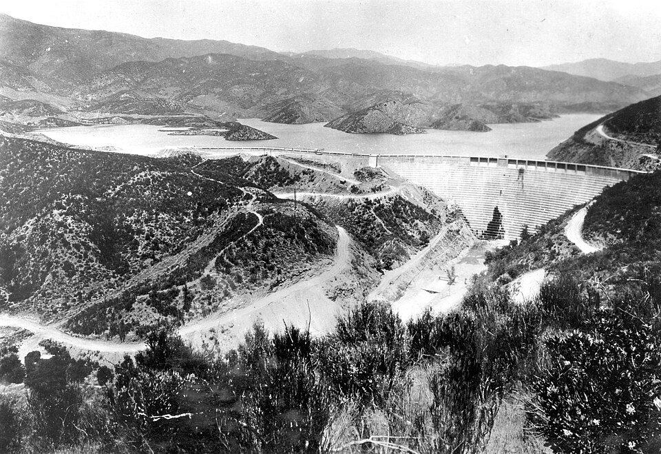 Big draw47 mi DamSt. Francis Dam
 68 mi MuseumRonald Reagan Presidential Library
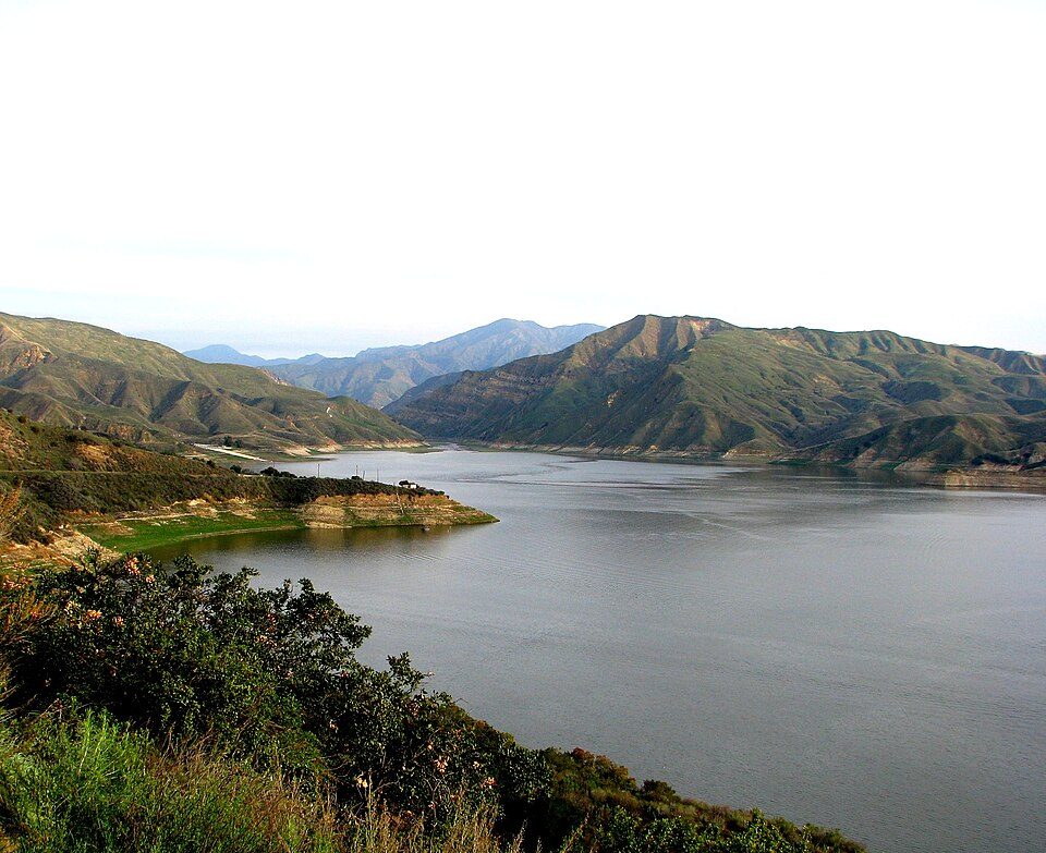 53 mi LakeLake Piru
 53 mi Park & preserveVasquez Rocks
 42 mi LandmarkBalls 8
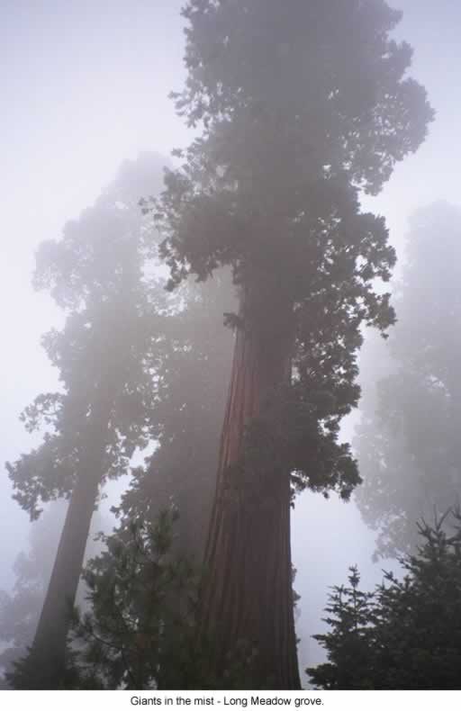 56 mi National forestSequoia National Forest
 66 mi National forestAngeles National Forest
Photo credits
Six Flags Magic Mountain: Alton, CC BY 3.0 · St. Francis Dam: Stearns, H.T. USGS, Public domain · Ronald Reagan Presidential Library: Unknown authorUnknown author, Public domain · Lake Piru: tomsaint11, CC BY 2.0 · Vasquez Rocks: Thomas from USA, CC BY 2.0 · Balls 8: NASA/Tony Landis, Public domain · Sequoia National Forest: US Forest Service, Public domain · Angeles National Forest: Geographer at en.wikipedia, CC BY 1.0


A record 31,497 visitors in 2025
Every full year the Park Service has counted. 2020 (gold) was the pandemic year. Green is the record.
Visiting César E. Chávez
Is César E. Chávez National Monument in Keene?
Yes. It’s inside Keene, CA. The address is 29700 Woodford-Tehachapi Road, Keene, CA 93531.
When is the best time to visit César E. Chávez National Monument?
March, October and November, with highs of 63–76°. April is the busiest month (about 2,368 visitors).
How many people visit César E. Chávez National Monument each year?
31,497 in 2025, according to the National Park Service.
How far is César E. Chávez National Monument from Los Angeles?
About 84 miles south of Los Angeles, as the crow flies.
What is the closest airport to César E. Chávez National Monument?
Meadows Field (BFL), about 32 miles away. The nearest big hub is Hollywood Burbank/Bob Hope (BUR), about 71 miles.
Where should I stay near César E. Chávez National Monument?
Tehachapi (9 mi, 9 places to stay), Bakersfield (28 mi, 78 places to stay) and Mojave (25 mi, 17 places to stay).
Tips from people in Keene
No tips yet. Ask, or answer, in Keene’s Town Square.
Sources: National Park Service · ski areas © OpenSkiMap / OpenStreetMap contributors · Wikidata · Wikipedia readership · National Park Service visitor use statistics · NOAA climate normals · U.S. Census.