
USS Massachusetts
USS Massachusetts was an Indiana-class, pre-dreadnought battleship and the second United States Navy ship comparable to foreign battleships of its time. Look for it 4 mi south of Pensacola Station. Its operator is the United States Navy.

An ancient site, 4 mi south of Pensacola Station
Pensacola Station is the nearest base
Pensacola Station is 4 miles north, with 7 places to stay. Where to stay ↓
Best months: Feb, Mar, Apr, May, Oct, Nov and Dec
February, March, April, May, October, November and December are the mild months, with highs of 64–83°. When to go ↓
Written from NOAA 1991–2020 normals, Overture places to stay, Census town figures, Wikidata and Wikipedia.
Picking a season
Each month’s highs and lows around USS Massachusetts are below.
USS Massachusetts
USS Massachusetts was an Indiana-class, pre-dreadnought battleship and the second United States Navy ship comparable to foreign battleships of its time. Authorized in 1890, and commissioned six years later, she was a small battleship, though with heavy armor and ordnance. The ship class also pioneered the use of an intermediate battery. She was designed for coastal defense and as a result, her decks were not safe from high waves on the open ocean.
- Type
- Ancient site
- Run by
- United States Navy
- Listed
- National Register of Historic Places (2001)
- Wikipedia readers
- 22K a year
Staying near USS Massachusetts
The first towns with rooms are Orange Beach (50) and Pensacola (22).
Orange Beach
The closest town with somewhere to stay.
8,798 people · 50% vacation homes
17 mi west of USS Massachusetts
Compare 8 towns
| Town | From USS Massachusetts | Drive | Places to stay | People | Typical home | Safety |
|---|---|---|---|---|---|---|
| Orange Beach 50% vacation homes | 17 mi west | 25 min | 50 40 hotels · 3 inns & B&Bs · 1 lodge or cabins · 2 campgrounds · 4 RV parks | 8,798 | $502K | C− |
| Pensacola | 12 mi northeast | 20 min | 22 14 hotels · 1 motel · 6 inns & B&Bs · 1 lodge or cabins | 53,817 | $314K | B+ |
| Brent | 13 mi north | 20 min | 22 17 hotels · 2 motels · 1 inn or B&B · 1 campground · 1 RV park | 23,813 | $160K | — |
| West Pensacola | 9 mi north | 15 min | 14 9 hotels · 3 motels · 1 inn or B&B · 1 campground | 20,665 | $116K | — |
| Gulf Breeze | 10 mi northeast | 15 min | 13 12 hotels · 1 inn or B&B | 7,067 | $506K | A |
| Pensacola Station | 4 mi north | 5 min | 7 1 hotel · 2 lodges & cabins · 3 campgrounds · 1 RV park | 5,281 | — | — |
| Gulf Shores 33% vacation homes | 23 mi west | 35 min | 70 57 hotels · 1 motel · 3 lodges & cabins · 4 campgrounds · 5 RV parks | 17,394 | $383K | C− |
| Ferry Pass | 17 mi northeast | 25 min | 29 26 hotels · 1 motel · 1 lodge or cabins · 1 RV park | 30,053 | $260K | — |
Getting there
Nearest airports with airline service
More near USS Massachusetts
You can reach each of these within 50 miles.
 12 mi LandmarkFort Pickens
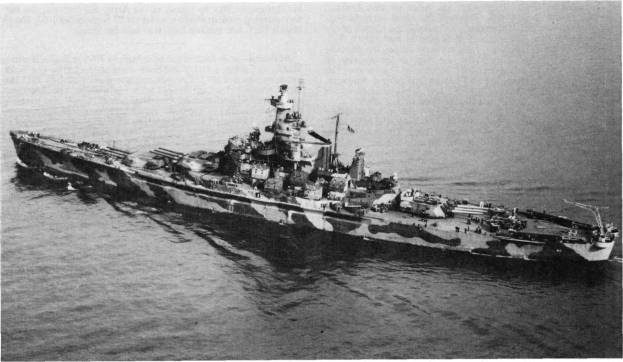 Big draw50 mi MuseumUSS Alabama
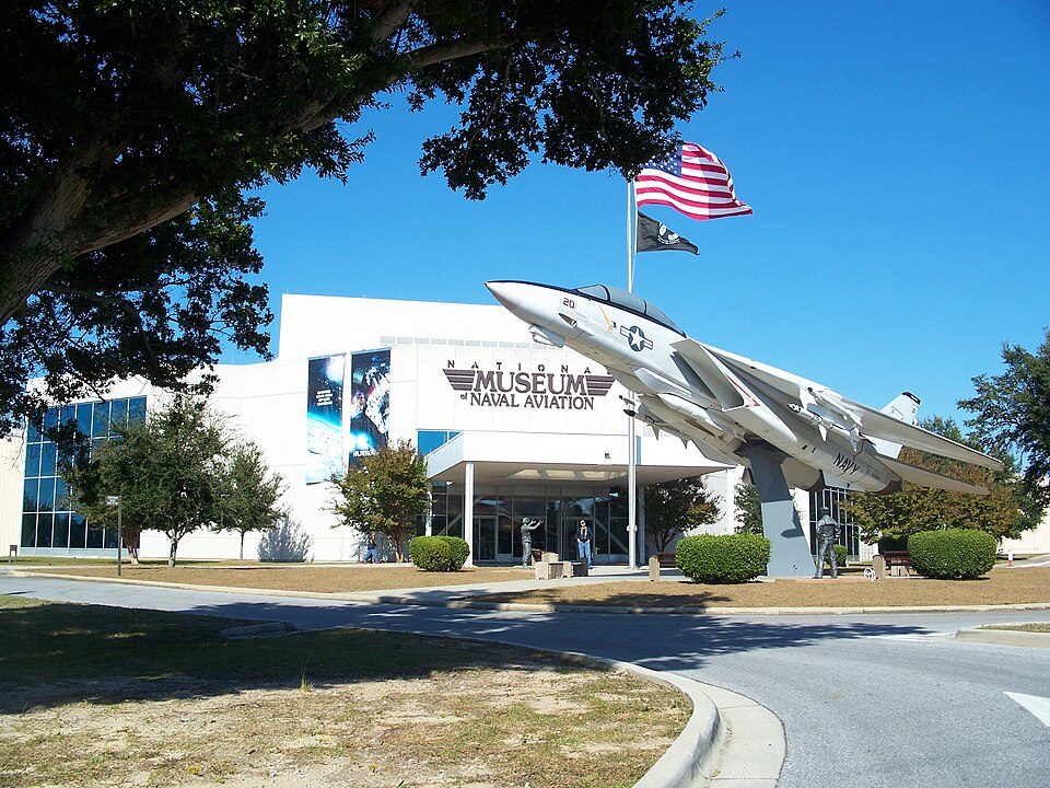 24 mi MuseumNational Naval Aviation Museum
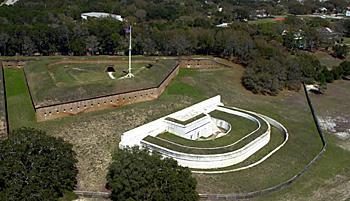 34 mi LandmarkFort Barrancas411 mi BeachOno Island
 43 mi MuseumFort Morgan
 521 mi National SeashoreGulf Islands National Seashore7.6M visitors a year
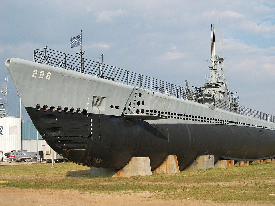 50 mi MuseumUSS Drum
Photo credits
Fort Pickens: Notneb82, CC BY-SA 3.0 · USS Alabama: USN, Public domain · National Naval Aviation Museum: Ebyabe, CC BY-SA 3.0 · Fort Barrancas: National Park Service, Public domain · Fort Morgan: Altairisfar, Public domain · Gulf Islands National Seashore: National Park Service, Public domain · USS Drum: Jean-Pierre Martin, CC BY-SA 3.0


What people ask about USS Massachusetts
What town is USS Massachusetts near?
Pensacola Station, FL, about 4 miles north.
When is the best time to visit USS Massachusetts?
February, March, April, May, October, November and December, with highs of 64–83°.
What is the closest airport to USS Massachusetts?
Pensacola (PNS), about 14 miles away.
Where should I stay near USS Massachusetts?
Orange Beach (17 mi, 50 places to stay), Pensacola (12 mi, 22 places to stay) and Brent (13 mi, 22 places to stay).
Questions for Pensacola Station
Be the first to share a tip in Pensacola Station’s Town Square.
Sources: National Park Service · ski areas © OpenSkiMap / OpenStreetMap contributors · Wikidata · Wikipedia readership · NOAA climate normals · U.S. Census.