Ono Island
Ono Island is a 5.5-mile (8.9 km) long barrier island located in southern Baldwin County, Alabama, United States, at the mouth of Perdido Bay near the Gulf of Mexico. You will find it 6 mi east of Orange Beach. Worth the trip, Fort Pickens is 13 mi off.
A beach, 6 mi east of Orange Beach
Orange Beach is the nearest base
Orange Beach is 6 miles west, with 50 places to stay. Where to stay ↓
Best months: Jan, Feb, Mar, Apr, May, Oct, Nov and Dec
January, February, March, April, May, October, November and December are the mild months, with highs of 62–84°. When to go ↓
Written from NOAA 1991–2020 normals, Overture places to stay, Census town figures, Wikidata and Wikipedia.
The weather by month
The months below show the weather around Ono Island.
Ono Island
Ono Island is a 5.5-mile (8.9 km) long barrier island located in southern Baldwin County, Alabama, United States, at the mouth of Perdido Bay near the Gulf of Mexico. It is bordered by Bayou St. John to the north and Old River to the south. Surrounding communities include Perdido Key, Florida to the south and east and Orange Beach, Alabama to the south and west.
The island is home to a single community which is not within the corporate limits of any municipality. It's both private and gated. Although not within any municipality the island is subject to governance by the Baldwin County Commission. Emergency services are provided by nearby communities. The island is accessed via a private, guarded, bridge from State Route 182.
- Type
- Beach
- Elevation
- 7 ft
- Wikipedia readers
- 9.5K a year
Where to sleep near Ono Island
Places to stay start in Orange Beach (50) and Gulf Shores (70).
Orange Beach
The closest town with somewhere to stay.
8,798 people · 50% vacation homes
6 mi west of Ono Island
Compare 8 towns
| Town | From Ono Island | Drive | Places to stay | People | Typical home | Safety |
|---|---|---|---|---|---|---|
| Orange Beach 50% vacation homes | 6 mi west | 10 min | 50 40 hotels · 3 inns & B&Bs · 1 lodge or cabins · 2 campgrounds · 4 RV parks | 8,798 | $502K | C− |
| Gulf Shores 33% vacation homes | 12 mi west | 20 min | 70 57 hotels · 1 motel · 3 lodges & cabins · 4 campgrounds · 5 RV parks | 17,394 | $383K | C− |
| Foley | 13 mi northwest | 20 min | 31 12 hotels · 2 motels · 1 inn or B&B · 1 lodge or cabins · 1 hostel · 4 campgrounds · 10 RV parks | 30,354 | $289K | C+ |
| Elberta | 8 mi northwest | 10 min | 6 1 inn or B&B · 1 lodge or cabins · 1 campground · 3 RV parks | 2,183 | $233K | D |
| Lillian | 10 mi northeast | 15 min | 7 1 lodge or cabins · 4 campgrounds · 2 RV parks | 1,460 | $281K | — |
| Brent | 19 mi northeast | 30 min | 22 17 hotels · 2 motels · 1 inn or B&B · 1 campground · 1 RV park | 23,813 | $160K | — |
| West Pensacola | 17 mi northeast | 25 min | 14 9 hotels · 3 motels · 1 inn or B&B · 1 campground | 20,665 | $116K | — |
| Ensley | 21 mi northeast | 30 min | 24 15 hotels · 3 motels · 6 RV parks | 23,760 | $222K | — |
Getting there
Nearest airports with airline service
More near Ono Island
Other well-known places within 41 miles.
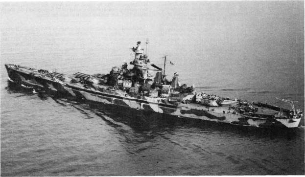 Big draw41 mi MuseumUSS Alabama
 113 mi LandmarkFort Pickens
 211 mi Ancient siteUSS Massachusetts
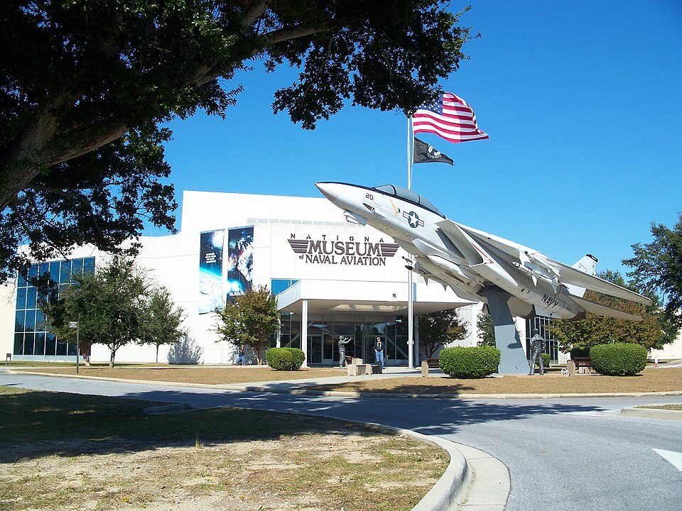 312 mi MuseumNational Naval Aviation Museum
 32 mi MuseumFort Morgan
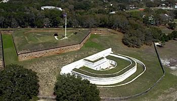 412 mi LandmarkFort Barrancas
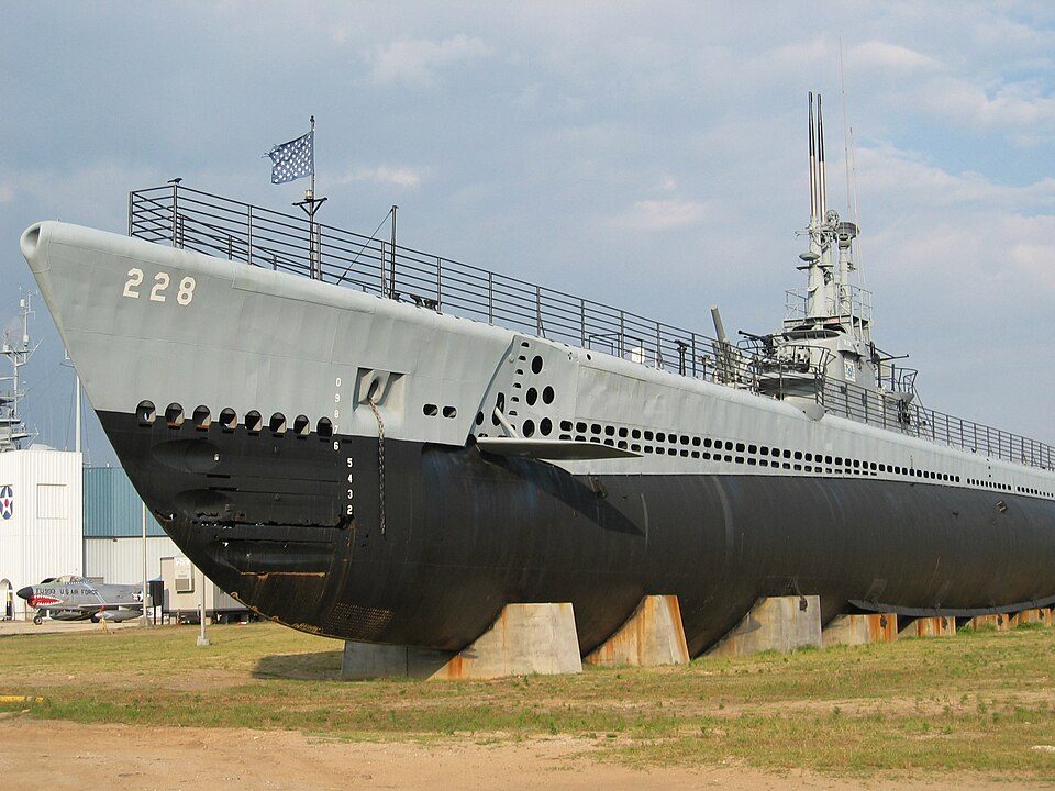 41 mi MuseumUSS Drum
 41 mi MuseumBattleship Memorial Park
Photo credits
USS Alabama: USN, Public domain · Fort Pickens: Notneb82, CC BY-SA 3.0 · USS Massachusetts: Unknown authorUnknown author or not provided, Public domain · National Naval Aviation Museum: Ebyabe, CC BY-SA 3.0 · Fort Morgan: Altairisfar, Public domain · Fort Barrancas: National Park Service, Public domain · USS Drum: Jean-Pierre Martin, CC BY-SA 3.0 · Battleship Memorial Park: Rennett Stowe from USA, CC BY 2.0


Good to know about Ono Island
What town is Ono Island near?
Orange Beach, AL, about 6 miles west.
When is the best time to visit Ono Island?
January, February, March, April, May, October, November and December, with highs of 62–84°.
What is the closest airport to Ono Island?
Pensacola (PNS), about 22 miles away.
Where should I stay near Ono Island?
Orange Beach (6 mi, 50 places to stay), Gulf Shores (12 mi, 70 places to stay) and Foley (13 mi, 31 places to stay).
Advice from Orange Beach
Ask a question, or answer one, in Orange Beach’s Town Square.
Sources: National Park Service · ski areas © OpenSkiMap / OpenStreetMap contributors · Wikidata · Wikipedia readership · NOAA climate normals · U.S. Census.