
Fort Pickens
Fort Pickens is a historic pentagonal United States military fort on Santa Rosa Island in the Pensacola, Florida, area.

A landmark, 2 mi southeast of Pensacola Station
Pensacola Station is the nearest base
Pensacola Station is 2 miles northwest, with 7 places to stay. Where to stay ↓
Best months: Feb, Mar, Apr, May, Oct, Nov and Dec
February, March, April, May, October, November and December are the mild months, with highs of 64–83°. When to go ↓
An airport 12 miles away
Pensacola (PNS) has airline service, about 12 miles from Fort Pickens.
Written from NOAA 1991–2020 normals, Overture places to stay, Census town figures, Wikidata and Wikipedia.
Weather, month by month
Typical highs and lows in Pensacola Station. Green months are the mild ones.
Fort Pickens
Fort Pickens is a historic pentagonal United States military fort on Santa Rosa Island in the Pensacola, Florida, area. It is named after American Revolutionary War hero Andrew Pickens. It is the largest of four forts built to defend Pensacola Bay and its navy yard. The fort was completed in 1834 and was one of the few forts in the South that remained in Union hands throughout the American Civil War. It remained in use until 1947. Fort Pickens is included within the Gulf Islands National Seashore, and as such, is administered by the National Park Service.
- Type
- Landmark
- Listed
- National Register of Historic Places (1972)
- Wikipedia readers
- 23K a year
Where to stay near Fort Pickens
The closest towns with hotels, motels or campgrounds are Pensacola (22) and Brent (22).
Pensacola
The closest town with somewhere to stay.
53,817 people
10 mi northeast of Fort Pickens
Compare 8 towns
| Town | From Fort Pickens | Drive | Places to stay | People | Typical home | Safety |
|---|---|---|---|---|---|---|
| Pensacola | 10 mi northeast | 15 min | 22 14 hotels · 1 motel · 6 inns & B&Bs · 1 lodge or cabins | 53,817 | $314K | B+ |
| Brent | 10 mi north | 15 min | 22 17 hotels · 2 motels · 1 inn or B&B · 1 campground · 1 RV park | 23,813 | $160K | — |
| West Pensacola | 7 mi north | 10 min | 14 9 hotels · 3 motels · 1 inn or B&B · 1 campground | 20,665 | $116K | — |
| Gulf Breeze | 8 mi east | 10 min | 13 12 hotels · 1 inn or B&B | 7,067 | $506K | A |
| Orange Beach 50% vacation homes | 18 mi west | 25 min | 50 40 hotels · 3 inns & B&Bs · 1 lodge or cabins · 2 campgrounds · 4 RV parks | 8,798 | $502K | C− |
| Ferry Pass | 15 mi northeast | 20 min | 29 26 hotels · 1 motel · 1 lodge or cabins · 1 RV park | 30,053 | $260K | — |
| Ensley | 14 mi north | 20 min | 24 15 hotels · 3 motels · 6 RV parks | 23,760 | $222K | — |
| Pensacola Station | 2 mi northwest | 5 min | 7 1 hotel · 2 lodges & cabins · 3 campgrounds · 1 RV park | 5,281 | — | — |
Getting there
Nearest airports with airline service
Also near Fort Pickens
Other well-known places within 50 miles. Numbered ones are on the map above.
 12 mi Ancient siteUSS Massachusetts
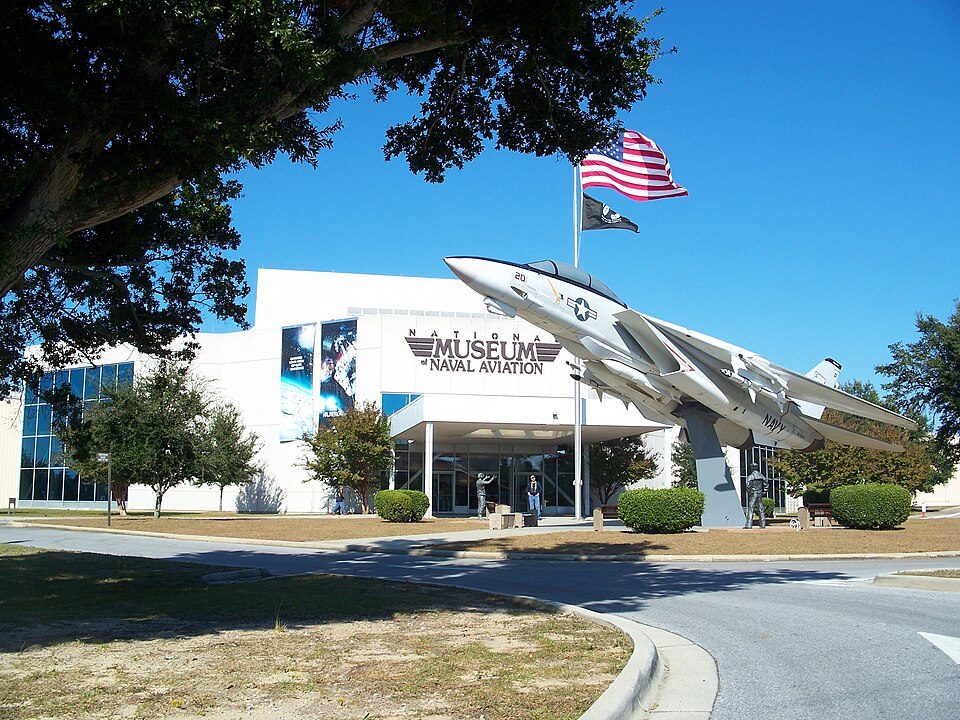 22 mi MuseumNational Naval Aviation Museum
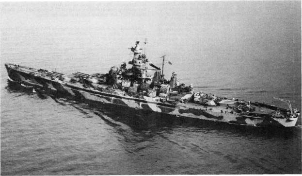 Big draw50 mi MuseumUSS Alabama
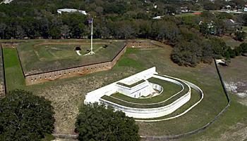 32 mi LandmarkFort Barrancas413 mi BeachOno Island
 519 mi National SeashoreGulf Islands National Seashore7.6M visitors a year
 44 mi MuseumFort Morgan
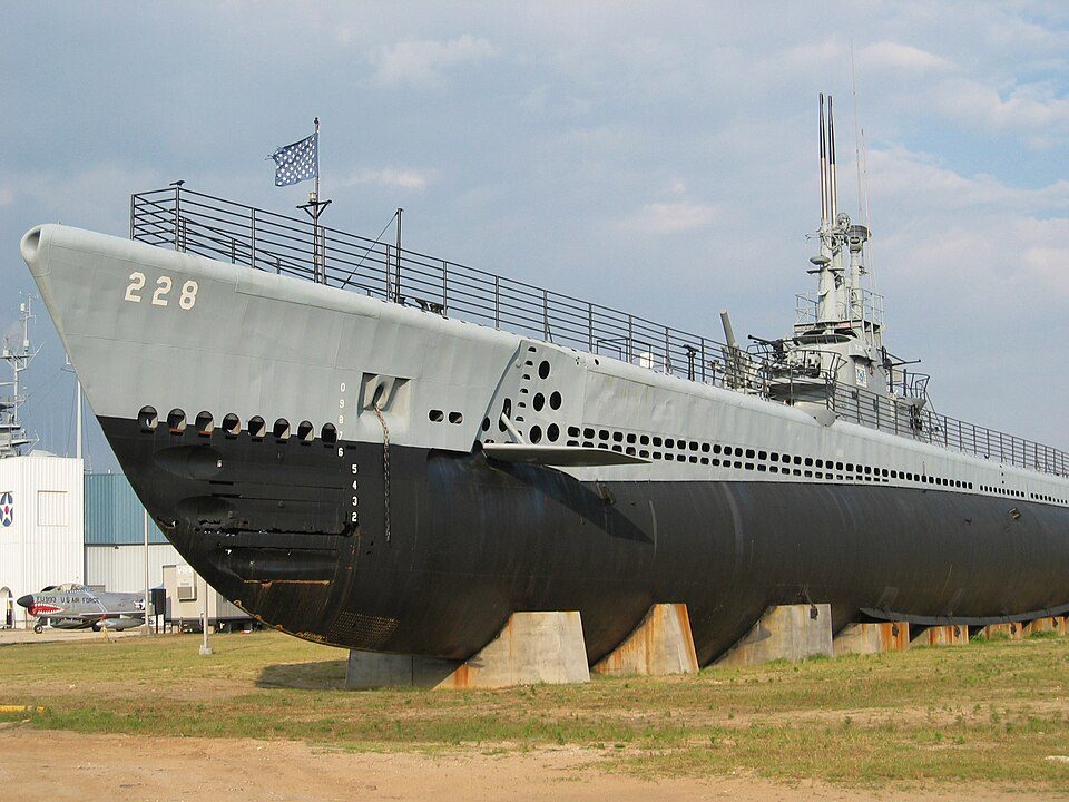 50 mi MuseumUSS Drum
Photo credits
USS Massachusetts: Unknown authorUnknown author or not provided, Public domain · National Naval Aviation Museum: Ebyabe, CC BY-SA 3.0 · USS Alabama: USN, Public domain · Fort Barrancas: National Park Service, Public domain · Gulf Islands National Seashore: National Park Service, Public domain · Fort Morgan: Altairisfar, Public domain · USS Drum: Jean-Pierre Martin, CC BY-SA 3.0


Visiting Fort Pickens
What town is Fort Pickens near?
Pensacola Station, FL, about 2 miles northwest.
When is the best time to visit Fort Pickens?
February, March, April, May, October, November and December, with highs of 64–83°.
What is the closest airport to Fort Pickens?
Pensacola (PNS), about 12 miles away.
Where should I stay near Fort Pickens?
Pensacola (10 mi, 22 places to stay), Brent (10 mi, 22 places to stay) and West Pensacola (7 mi, 14 places to stay).
Tips from people in Pensacola Station
No tips yet. Ask, or answer, in Pensacola Station’s Town Square.
Sources: National Park Service · ski areas © OpenSkiMap / OpenStreetMap contributors · Wikidata · Wikipedia readership · NOAA climate normals · U.S. Census.