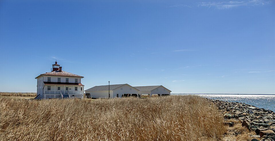
Point Lookout State Park
Point Lookout State Park is a Maryland state park occupying Point Lookout, the southernmost tip of a peninsula formed by the confluence of the Chesapeake Bay and the Potomac River in St. Mary's County, Maryland. This one stands 8 mi southeast of St. George Island. Its story as a place to visit starts in 1963.

A state park, 8 mi southeast of St. George Island
Lexington Park is the nearest base
Lexington Park is 14 miles northwest, with 10 places to stay. Where to stay ↓
A day trip from Washington
Washington is about 69 miles northwest and Baltimore is about 87 miles north (straight-line). Where to stay ↓
Best months: Apr, May, Jun, Sep and Oct
April, May, June, September and October are the mild months, with highs of 67–83°. When to go ↓
Established in 1963
Point Lookout State Park dates from 1963. About ↓
Written from NOAA 1991–2020 normals, Overture places to stay, Census town figures, Wikidata and Wikipedia.
Month by month
Below are typical highs and lows near Point Lookout.
Point Lookout State Park
Point Lookout State Park is a Maryland state park occupying Point Lookout, the southernmost tip of a peninsula formed by the confluence of the Chesapeake Bay and the Potomac River in St. Mary's County, Maryland. The park preserves the site of an American Civil War prisoner of war camp and the Point Lookout Light, which was built in 1830. It is the southernmost spot on Maryland's western shore, the coastal region on the western side of the Chesapeake Bay.
- Type
- State park
- Established
- 1963
- Wikipedia readers
- 13K a year
Nights near Point Lookout State Park
To stay close, try Lexington Park (10) and California (15).
Lexington Park
The closest town with somewhere to stay.
13,252 people
14 mi northwest of Point Lookout
Compare 8 towns
| Town | From Point Lookout | Drive | Places to stay | People | Typical home |
|---|---|---|---|---|---|
| Lexington Park | 14 mi northwest | 20 min | 10 8 hotels · 1 motel · 1 lodge or cabins | 13,252 | $310K |
| California | 18 mi northwest | 25 min | 15 14 hotels · 1 lodge or cabins | 13,136 | $347K |
| St. George Island | 8 mi northwest | 10 min | 3 1 hotel · 2 campgrounds | 277 | $788K |
| Solomons | 20 mi north | 30 min | 7 3 hotels · 3 inns & B&Bs · 1 campground | 2,440 | $437K |
| Piney Point | 12 mi northwest | 20 min | 2 2 campgrounds | 1,274 | $337K |
| Crisfield | 27 mi east | 40 min | 10 4 hotels · 2 motels · 2 inns & B&Bs · 1 lodge or cabins · 1 campground | 2,555 | $138K |
| Kilmarnock | 24 mi south | 35 min | 6 2 hotels · 2 inns & B&Bs · 1 lodge or cabins · 1 campground | 1,457 | $282K |
| Wildewood | 20 mi northwest | 30 min | 3 1 hotel · 2 lodges & cabins | 7,552 | $383K |
Day trip from
Straight-line miles.
Getting there
Nearest airports with airline service
What else is near Point Lookout
Places worth adding lie within 69 miles.
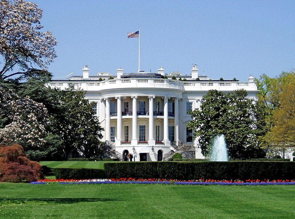 Big draw69 mi National park siteWhite House311K visitors a year
 Big draw68 mi National MemorialWashington Monument204K visitors a year
 Big draw69 mi LandmarkArlington National Cemetery
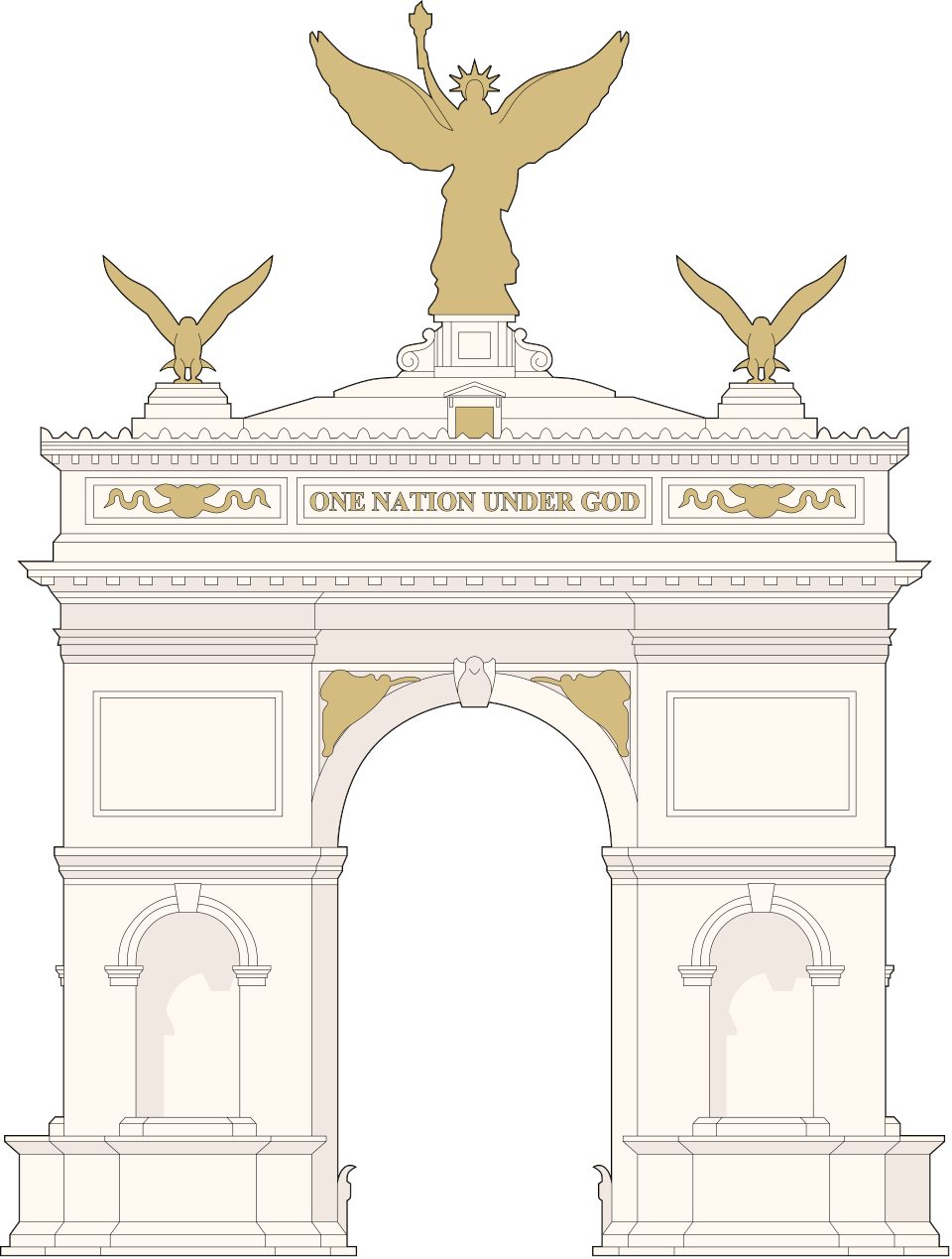 Big draw69 mi LandmarkUnited States Triumphal Arch
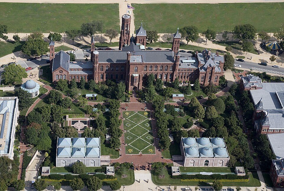 Big draw68 mi MuseumSmithsonian Institution30.0M visitors a year
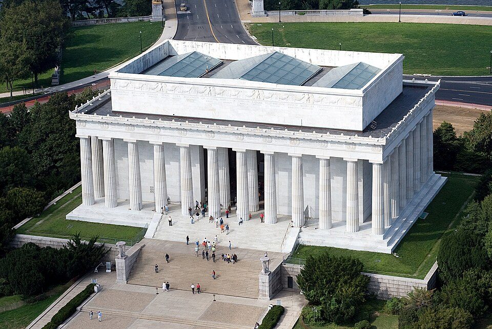 Big draw69 mi National MemorialLincoln Memorial7.7M visitors a year
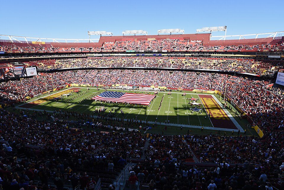 Big draw65 mi Stadium & arenaNorthwest Stadium
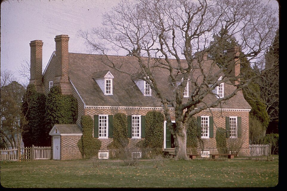 33 mi National MonumentGeorge Washington Birthplace National Monument72K visitors a year
Photo credits
White House: This image or media was taken or created by Matt H. Wade. To see his entire port, CC BY-SA 3.0 · Washington Monument: Oren Rozen, CC BY-SA 4.0 · Arlington National Cemetery: Protoant, Public domain · United States Triumphal Arch: Hstoops, CC0 · Smithsonian Institution: Highsmith, Carol M., 1946-, photographer, Public domain · Lincoln Memorial: Aerial_view_of_Lincoln_Memorial_-_east_side.jpg: Carol M. Highsmith derivative w, Public domain · Northwest Stadium: Maryland GovPics, CC BY 2.0 · George Washington Birthplace National Monument: National Park Service Digital Image Archives, Public domain


Good to know about Point Lookout
What town is Point Lookout State Park near?
St. George Island, MD, about 8 miles northwest.
When is the best time to visit Point Lookout State Park?
April, May, June, September and October, with highs of 67–83°.
How far is Point Lookout State Park from Washington and Baltimore?
About 69 miles northwest of Washington and about 87 miles north of Baltimore, as the crow flies.
What is the closest airport to Point Lookout State Park?
Salisbury Ocean City Wicomico Regional (SBY), about 49 miles away. The nearest big hub is Richmond (RIC), about 66 miles.
Where should I stay near Point Lookout State Park?
Lexington Park (14 mi, 10 places to stay), California (18 mi, 15 places to stay) and St. George Island (8 mi, 3 places to stay).
Tips from St. George Island
Questions and tips go in St. George Island’s Town Square.
Sources: National Park Service · ski areas © OpenSkiMap / OpenStreetMap contributors · Wikidata · Wikipedia readership · NOAA climate normals · U.S. Census.