
Mount Tamalpais
Mount Tamalpais (; TAM-əl-PY-iss; Miwok: Támal Pájiṣ), known locally as Mount Tam, is a peak in Marin County, California, United States, often considered symbolic of Marin County. It stands 2 mi northwest of Mill Valley. Worth the trip, Alcatraz Federal Penitentiary is 11 mi off.

A mountain, 2 mi northwest of Mill Valley
Mill Valley is the nearest base
Mill Valley is 2 miles southeast, with 8 places to stay. Where to stay ↓
A day trip from San Jose
San Jose is about 60 miles southeast (straight-line). Where to stay ↓
Best months: Apr, May, Jun, Jul, Aug, Sep and Oct
April, May, June, July, August, September and October are the mild months, with highs of 63–73°. When to go ↓
Written from NOAA 1991–2020 normals, Overture places to stay, Census town figures, Wikidata and Wikipedia.
Highs and lows by month
Below are typical highs and lows near Mount Tamalpais.
Mount Tamalpais
Mount Tamalpais (; TAM-əl-PY-iss; Miwok: Támal Pájiṣ), known locally as Mount Tam, is a peak in Marin County, California, United States, often considered symbolic of Marin County. Much of Mount Tamalpais is protected within public lands such as Mount Tamalpais State Park, the Marin Municipal Water District watershed, and National Park Service land, such as Muir Woods.
- Type
- Mountain
- Elevation
- 2,572 ft
- Wikipedia readers
- 48K a year
Staying near Mount Tamalpais
Lodging nearby is in San Francisco (528) and San Rafael (18).
- 1Alcatraz Federal Penitentiary
- 2Muir Woods
- 3Presidio of San Francisco
- 4Lombard Street
- 5Chase Center
- 6Oracle Park
- 7USS Hornet
San Francisco
The closest town with somewhere to stay.
826,079 people
14 mi southeast of Mount Tamalpais
Compare 8 towns
| Town | From Mount Tamalpais | Drive | Places to stay | People | Typical home | Safety |
|---|---|---|---|---|---|---|
| San Francisco | 14 mi southeast | 20 min | 528 426 hotels · 24 motels · 37 inns & B&Bs · 5 lodges & cabins · 27 hostels · 6 campgrounds · 3 RV parks | 826,079 | $1,395K | D |
| San Rafael | 5 mi northeast | 10 min | 18 15 hotels · 1 motel · 2 inns & B&Bs | 59,410 | $1,356K | D |
| Oakland | 22 mi southeast | 35 min | 89 56 hotels · 22 motels · 7 inns & B&Bs · 1 lodge or cabins · 1 hostel · 2 campgrounds | 440,838 | $930K | D− |
| Mill Valley | 2 mi southeast | 5 min | 8 4 hotels · 1 inn or B&B · 3 campgrounds | 13,799 | $2,000K | B+ |
| Sausalito | 7 mi southeast | 10 min | 10 5 hotels · 1 inn or B&B · 1 lodge or cabins · 1 hostel · 2 campgrounds | 7,019 | $1,895K | B− |
| Berkeley | 16 mi east | 25 min | 30 24 hotels · 4 inns & B&Bs · 1 lodge or cabins · 1 hostel | 121,911 | $1,414K | D− |
| Novato | 11 mi north | 15 min | 13 10 hotels · 1 inn or B&B · 2 RV parks | 51,947 | $1,033K | C+ |
| Richmond | 12 mi east | 20 min | 14 9 hotels · 3 motels · 2 lodges & cabins | 114,861 | $668K | D |
Day trip from
Straight-line miles.
Getting there
Nearest airports with airline service
Worth adding to a visit
Pair a visit with these, within 50 miles.
 Big draw111 mi MuseumAlcatraz Federal Penitentiary
 23 mi National MonumentMuir Woods National Monument757K visitors a year
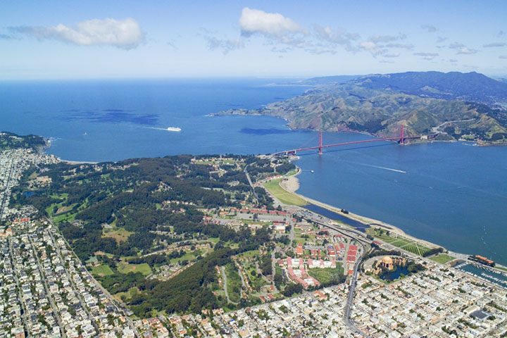 Big draw311 mi GardenPresidio of San Francisco
 Big draw412 mi LandmarkLombard Street
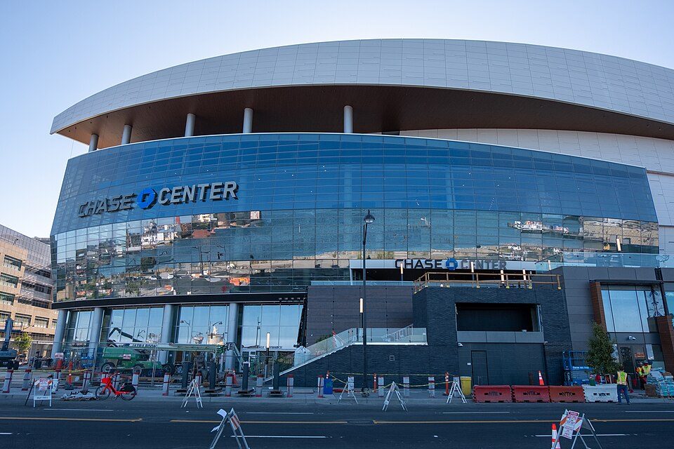 Big draw515 mi Stadium & arenaChase Center
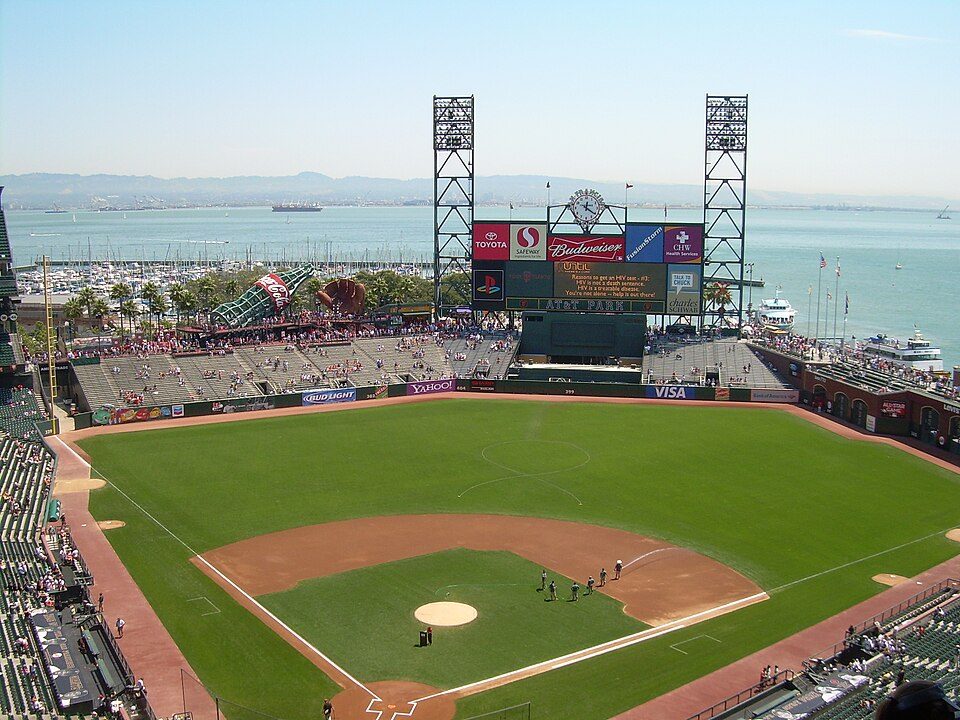 Big draw615 mi Stadium & arenaOracle Park
 Big draw718 mi MuseumUSS Hornet
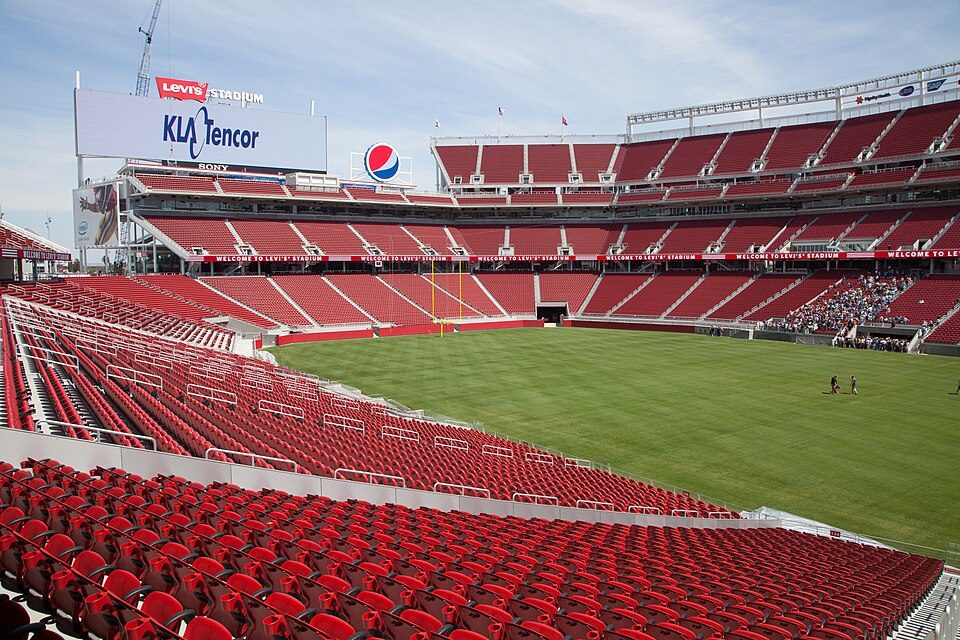 Big draw49 mi Stadium & arenaLevi's Stadium
Photo credits
Alcatraz Federal Penitentiary: druchoy, CC BY-SA 2.0 · Muir Woods National Monument: Unknown, CC BY-SA 3.0 · Presidio of San Francisco: Robert Campbell, CC BY-SA 3.0 · Lombard Street: The original uploader was Y6y6y6 at English Wikipedia., Public domain · Chase Center: Gregory Varnum, CC BY-SA 4.0 · Oracle Park: User Coasttocoast on en.wikipedia, CC BY-SA 3.0 · USS Hornet: kitmasterbloke, CC BY 2.0 · Levi's Stadium: Matthew Roth, CC BY-SA 2.0


Before visiting Mount Tamalpais
What town is Mount Tamalpais near?
Mill Valley, CA, about 2 miles southeast.
When is the best time to visit Mount Tamalpais?
April, May, June, July, August, September and October, with highs of 63–73°.
How far is Mount Tamalpais from San Jose and Stockton?
About 60 miles southeast of San Jose and about 69 miles east of Stockton, as the crow flies.
What is the closest airport to Mount Tamalpais?
San Francisco (SFO), about 24 miles away.
Where should I stay near Mount Tamalpais?
San Francisco (14 mi, 528 places to stay), San Rafael (5 mi, 18 places to stay) and Oakland (22 mi, 89 places to stay).
Notes from people in Mill Valley
Share what you know in Mill Valley’s Town Square.
Sources: National Park Service · ski areas © OpenSkiMap / OpenStreetMap contributors · Wikidata · Wikipedia readership · NOAA climate normals · U.S. Census.