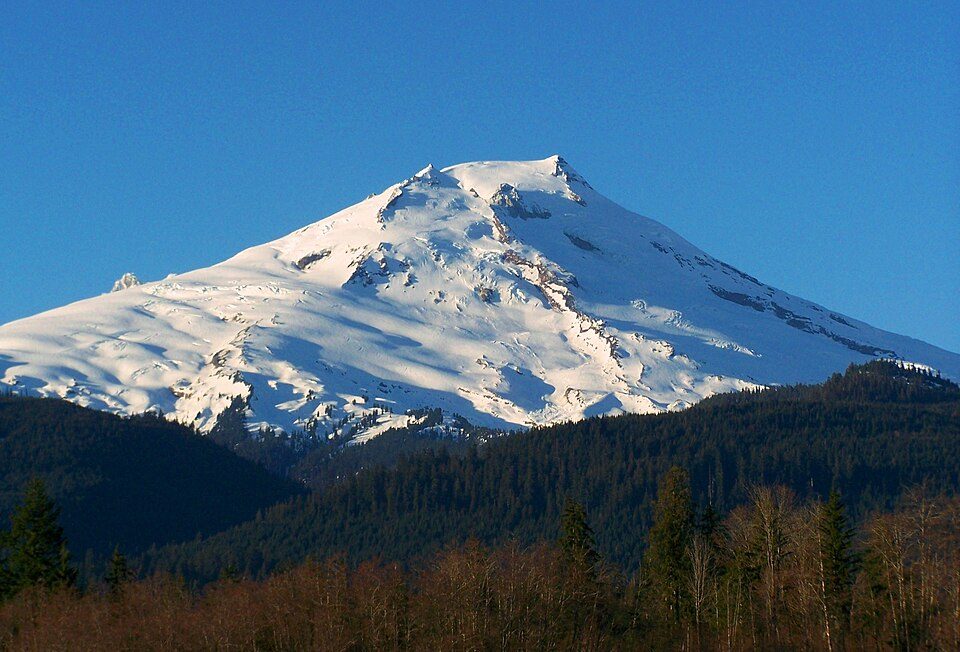
Mount Baker-Snoqualmie National Forest
The Mount Baker–Snoqualmie National Forest is a National Forest in Washington extending more than 140 miles (230 km) along the western slopes of the Cascade Range from the Canada–US border to the northern boundary of Mount Rainier National Park. Its location is 4 mi north of Skykomish. Highs of 64–76°F make May to September the mildest time to go.

A national forest, 4 mi north of Skykomish
Skykomish is the nearest base
Skykomish is 4 miles south, with 9 places to stay. Where to stay ↓
A day trip from Seattle
Seattle is about 46 miles west (straight-line). Where to stay ↓
Best months: May, Jun, Jul, Aug and Sep
May, June, July, August and September are the mild months, with highs of 64–76°. When to go ↓
Written from NOAA 1991–2020 normals, Overture places to stay, Census town figures, Wikidata and Wikipedia.
The year’s weather
Every month near Mount Baker-Snoqualmie National Forest is set out below.
Mount Baker-Snoqualmie National Forest
The Mount Baker–Snoqualmie National Forest is a National Forest in Washington extending more than 140 miles (230 km) along the western slopes of the Cascade Range from the Canada–US border to the northern boundary of Mount Rainier National Park. It is administered by the United States Forest Service, with the forest's headquarters in South Everett. Local ranger district offices are located in Sedro-Woolley, Darrington, Skykomish, North Bend and Enumclaw.
- Type
- National forest
- Area
- 4,001 square miles
- Wikipedia readers
- 6.2K a year
Staying near Mount Baker-Snoqualmie National Forest
Close by, places to stay are in Skykomish (9) and Baring (5), and Leavenworth has the most rooms in the area (76).
Skykomish
The closest town with somewhere to stay.
157 people · 54% vacation homes
4 mi south of Mount Baker-Snoqualmie National Forest
Index
165 people · 20% vacation homes
9 mi northwest of Mount Baker-Snoqualmie National Forest
Snoqualmie Pass
428 people · 44% vacation homes
25 mi south of Mount Baker-Snoqualmie National Forest
Leavenworth
The most places to stay in the area, and a base for a longer trip.
3,373 people
35 mi east of Mount Baker-Snoqualmie National Forest
Compare 9 towns
| Town | From Mount Baker-Snoqualmie National Forest | Drive | Places to stay | People | Typical home | Safety |
|---|---|---|---|---|---|---|
| Skykomish 54% vacation homes | 4 mi south | 5 min | 9 3 hotels · 1 inn or B&B · 3 lodges & cabins · 2 campgrounds | 157 | $408K | — |
| Baring 59% vacation homes | 5 mi west | 5 min | 5 5 lodges & cabins | 177 | $617K | — |
| Index 20% vacation homes | 9 mi northwest | 15 min | 5 2 inns & B&Bs · 3 lodges & cabins | 165 | $580K | — |
| Snoqualmie Pass 44% vacation homes | 25 mi south | 40 min | 14 10 hotels · 1 inn or B&B · 2 lodges & cabins · 1 campground | 428 | $962K | — |
| May Creek | 15 mi northwest | 25 min | 2 1 lodge or cabins · 1 campground | 791 | $346K | — |
| Gold Bar | 16 mi northwest | 25 min | 2 1 motel · 1 lodge or cabins | 2,561 | $455K | — |
| Snoqualmie | 28 mi southwest | 40 min | 7 2 hotels · 1 inn or B&B · 1 lodge or cabins · 3 campgrounds | 13,640 | $977K | B |
| Carnation | 26 mi west | 40 min | 5 5 campgrounds | 2,471 | $875K | A− |
| Leavenworth | 35 mi east | 55 min | 76 29 hotels · 1 motel · 21 inns & B&Bs · 23 lodges & cabins · 2 campgrounds | 3,373 | $617K | — |
Getting there
Nearest airports with airline service
Combine it with these
Places worth adding lie within 47 miles.
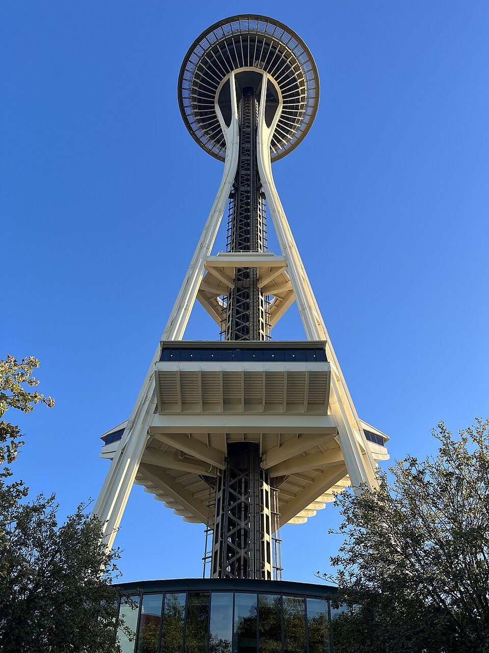 Big draw46 mi LookoutSpace Needle
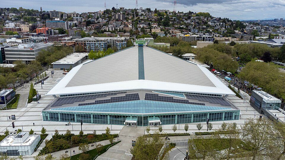 Big draw46 mi Stadium & arenaClimate Pledge Arena
 Big draw46 mi Stadium & arenaLumen Field
 46 mi Stadium & arenaT-Mobile Park
 46 mi Ancient siteSeattle Underground
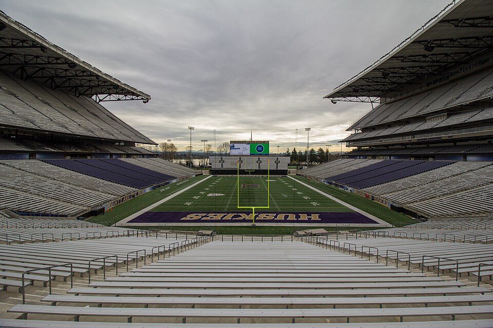 44 mi Stadium & arenaHusky Stadium
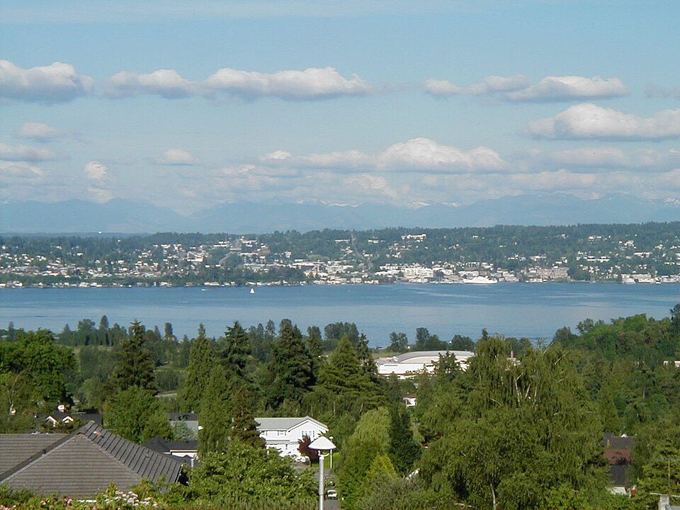 42 mi LakeLake Washington
 126 mi WaterfallSnoqualmie Falls
Photo credits
Space Needle: Another Believer, CC BY-SA 4.0 · Climate Pledge Arena: Sea Cow, CC BY-SA 4.0 · Lumen Field: "Smart Destinations", GoSeattleCard.com, and Go Seattle Card Blog, CC BY-SA 2.0 · T-Mobile Park: MyName (Cacophony), CC BY-SA 3.0 · Seattle Underground: Mark Hursh, CC BY-SA 3.0 · Husky Stadium: Atomic Taco, CC BY-SA 2.0 · Lake Washington: Maltesen at da.wikipedia, Public domain · Snoqualmie Falls: Meher Anand Kasam, CC BY-SA 3.0


Your questions on Mount Baker-Snoqualmie National Forest
What town is Mount Baker-Snoqualmie National Forest near?
Skykomish, WA, about 4 miles south.
When is the best time to visit Mount Baker-Snoqualmie National Forest?
May, June, July, August and September, with highs of 64–76°.
How far is Mount Baker-Snoqualmie National Forest from Seattle?
About 46 miles west of Seattle, as the crow flies.
What is the closest airport to Mount Baker-Snoqualmie National Forest?
Seattle Paine Field (PAE), about 43 miles away. The nearest big hub is Seattle–Tacoma (SEA), about 49 miles.
Where should I stay near Mount Baker-Snoqualmie National Forest?
Skykomish (4 mi, 9 places to stay), Baring (5 mi, 5 places to stay) and Index (9 mi, 5 places to stay).
Tips from people in Skykomish
Questions and tips go in Skykomish’s Town Square.
Sources: National Park Service · ski areas © OpenSkiMap / OpenStreetMap contributors · Wikidata · Wikipedia readership · NOAA climate normals · U.S. Census.