
Snoqualmie Falls
Snoqualmie Falls is a 268-foot (82 m) waterfall in the northwest United States, located east of Seattle on the Snoqualmie River between Snoqualmie and Fall City, Washington. It lies in Snoqualmie itself. For a second stop, Space Needle is 24 mi away.

A waterfall inside Snoqualmie
You can stay in Snoqualmie
Snoqualmie Falls is inside Snoqualmie, which has 7 places to stay, so you won’t need a base farther out. Where to stay ↓
Best months: May, Jun, Jul, Aug and Sep
May, June, July, August and September are the mild months, with highs of 65–76°. When to go ↓
Written from NOAA 1991–2020 normals, Overture places to stay, Census town figures, Wikidata and Wikipedia.
Weather through the year
Plan a visit to Snoqualmie Falls around the weather below.
Snoqualmie Falls
Snoqualmie Falls is a 268-foot (82 m) waterfall in the northwest United States, located east of Seattle on the Snoqualmie River between Snoqualmie and Fall City, Washington. It is one of Washington's most popular scenic attractions and is known internationally for its appearance in the television series Twin Peaks. More than 1.5 million visitors come to the Falls every year, where there is a two-acre (0.8 ha) park, an observation deck, luxury lodge, spa, restaurant, and a gift shop.
Most of the river is diverted into power plants, but at times the river is high enough to flow across the entire precipice, which creates an almost blinding spray. High water occurs following a period of heavy rains or snow followed by warm rainy weather. This can occur during the rainy season which lasts from November through March. During high water, the falls take on a curtain form.
- Type
- Waterfall
- Listed
- National Register of Historic Places (2009)
- Wikipedia readers
- 32K a year
Nights near Snoqualmie Falls
Nearest for a night are Snoqualmie (7) and Seattle (201).
- 1Space Needle
- 2Lumen Field
- 3Climate Pledge Arena
- 4T-Mobile Park
- 5Seattle Underground
- 6Husky Stadium
- 7Lake Washington
- 8Museum of Pop Culture
Compare 8 towns
| Town | From Snoqualmie Falls | Drive | Places to stay | People | Typical home | Safety |
|---|---|---|---|---|---|---|
| Snoqualmie | in town | — | 7 2 hotels · 1 inn or B&B · 1 lodge or cabins · 3 campgrounds | 13,640 | $977K | B |
| Seattle | 25 mi west | 35 min | 201 148 hotels · 8 motels · 32 inns & B&Bs · 7 lodges & cabins · 5 hostels · 1 campground | 784,777 | $939K | D− |
| Bellevue | 15 mi west | 25 min | 39 37 hotels · 1 campground · 1 RV park | 154,193 | $1,340K | C− |
| SeaTac | 23 mi west | 35 min | 49 39 hotels · 7 motels · 2 lodges & cabins · 1 RV park | 34,578 | $520K | D |
| Issaquah | 10 mi west | 15 min | 9 5 hotels · 1 motel · 2 campgrounds · 1 RV park | 39,423 | $963K | C− |
| North Bend | 5 mi southeast | 5 min | 5 3 motels · 1 inn or B&B · 1 lodge or cabins | 8,758 | $1,049K | C |
| Carnation | 8 mi northwest | 10 min | 5 5 campgrounds | 2,471 | $875K | A− |
| Renton | 17 mi west | 25 min | 15 13 hotels · 1 motel · 1 inn or B&B | 104,975 | $673K | D |
Getting there
Nearest airports with airline service
Around Snoqualmie Falls
A wider trip can take in these, within 25 miles.
 Big draw124 mi LookoutSpace Needle
 Big draw223 mi Stadium & arenaLumen Field
 Big draw325 mi Stadium & arenaClimate Pledge Arena
 423 mi Stadium & arenaT-Mobile Park
 524 mi Ancient siteSeattle Underground
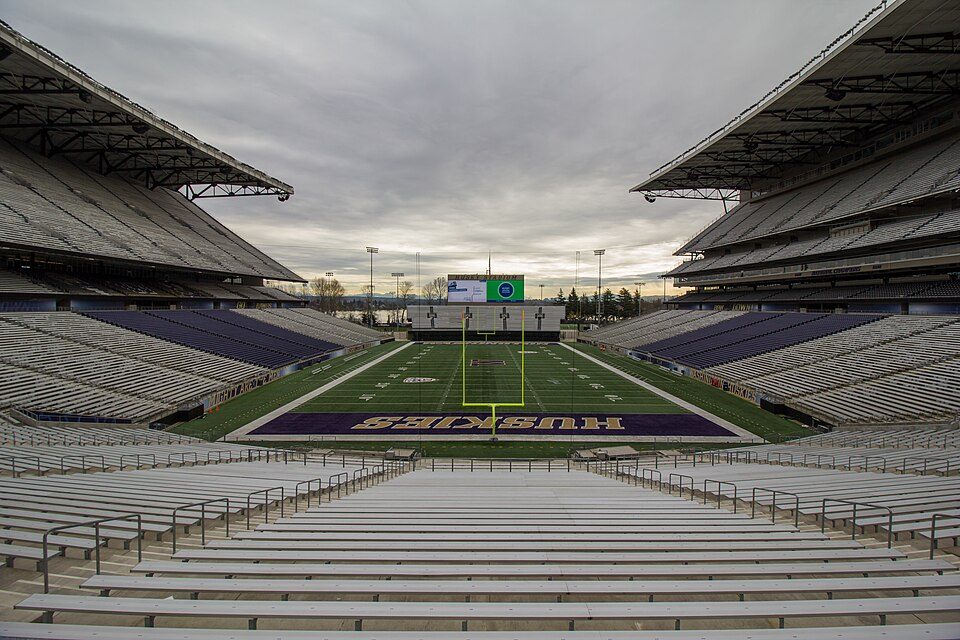 623 mi Stadium & arenaHusky Stadium
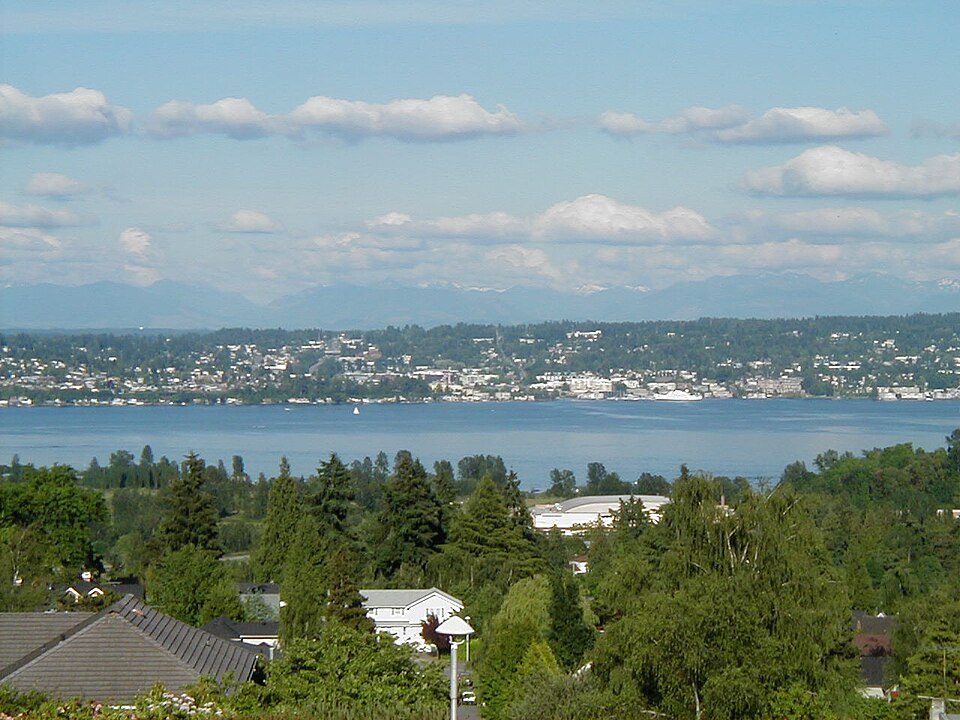 721 mi LakeLake Washington
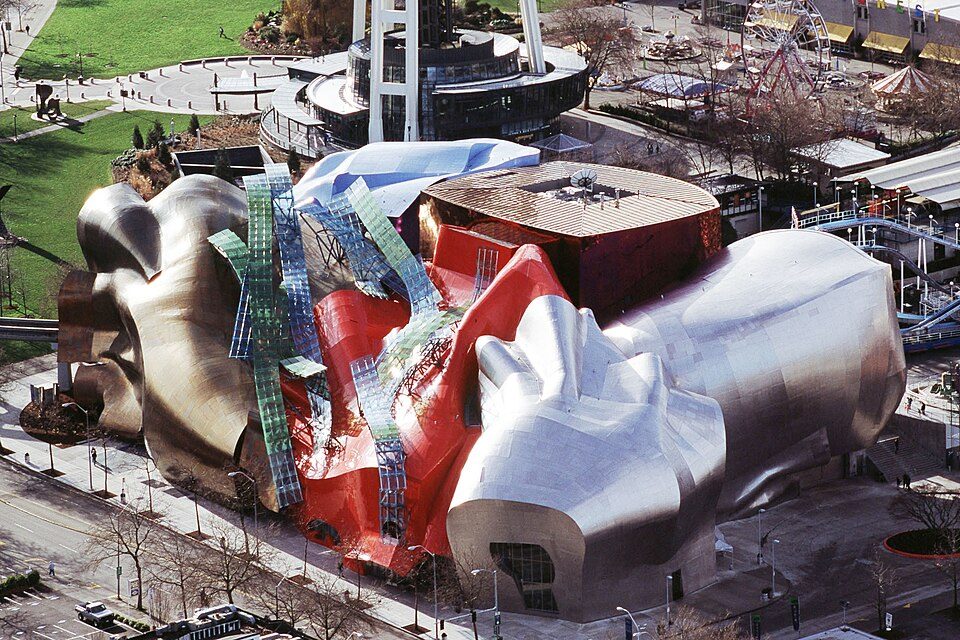 824 mi MuseumMuseum of Pop Culture
Photo credits
Space Needle: Another Believer, CC BY-SA 4.0 · Lumen Field: "Smart Destinations", GoSeattleCard.com, and Go Seattle Card Blog, CC BY-SA 2.0 · Climate Pledge Arena: Sea Cow, CC BY-SA 4.0 · T-Mobile Park: MyName (Cacophony), CC BY-SA 3.0 · Seattle Underground: Mark Hursh, CC BY-SA 3.0 · Husky Stadium: Atomic Taco, CC BY-SA 2.0 · Lake Washington: Maltesen at da.wikipedia, Public domain · Museum of Pop Culture: EMP|SFM, CC BY-SA 3.0


A visit to Snoqualmie Falls: questions
Is Snoqualmie Falls in Snoqualmie?
Yes. It’s inside Snoqualmie, WA.
When is the best time to visit Snoqualmie Falls?
May, June, July, August and September, with highs of 65–76°.
What is the closest airport to Snoqualmie Falls?
King County International Airport - Boeing Field (BFI), about 22 miles away. The nearest big hub is Seattle–Tacoma (SEA), about 23 miles.
Where should I stay near Snoqualmie Falls?
Seattle (25 mi, 201 places to stay), Bellevue (15 mi, 39 places to stay) and Snoqualmie (in town, 7 places to stay).
Tips from Snoqualmie
Share what you know in Snoqualmie’s Town Square.
Sources: National Park Service · ski areas © OpenSkiMap / OpenStreetMap contributors · Wikidata · Wikipedia readership · NOAA climate normals · U.S. Census.