126 years in pictures
Census counts: 140 in 1910, a low of 71 in 1920, 255 in 2020. The archive holds 1 old photo or paper going back to 1912 and 2 maps from 1965 on.
1 place on the National Register of Historic Places.
- 1900Baring is settled
Each edition grades its towns against each other only.

A town of 177, settled in 1900.
Baring’s average trip to work is 45 minutes, against 27 minutes in Washington’s towns and 25 minutes across U.S. towns. Only 5 of the 286 Washington towns we compare have a higher median age than Baring. Baring Bridge is on the National Register of Historic Places. Baring has fewer than 1,000 residents, too few for fair grades; the figures below are still real.
In a town this size, neighbors are the best guide. Ask them anything.
Census counts: 140 in 1910, a low of 71 in 1920, 255 in 2020. The archive holds 1 old photo or paper going back to 1912 and 2 maps from 1965 on.
1 place on the National Register of Historic Places.
Baring is unincorporated, so King County and regional agencies provide most services.
EPA SDWIS (Oct 9, 2026) · HIFLD + EIA-861 2025 · Census 2020 ZCTAs · NCES 2024–25 · registration: vote.gov, updated Sep 30, 2026.
Ordered by what stands out in Baring.
At 98 of 100, Baring’s FEMA risk score is above both the Washington town median (69 of 100) and the median of U.S. towns (44 of 100).
FEMA National Risk Index · OpenFEMA
Most working residents leave Baring for work: only 0% work in town. 12% of residents live below the poverty line in Baring. The top destinations are Seattle (28%), North Bend (8%) and Bellevue (8%).
| Baring | Washington towns | U.S. towns | |
|---|---|---|---|
| Below the poverty line | 12% | 7.9% | 9.6% |
| Median household income | $80,000 | $98,000 | $80,000 |
Census LEHD 2023 · ACS
Baring has mild, snowy winters and cool summers, with plenty of rain. The July high in Baring is 74°F.
NOAA U.S. Climate Normals, 1991–2020
| Biggest places to walk | Trails | Acres |
|---|---|---|
| 1. Baring Community Park | — | 1 |
Trails & parks © OpenStreetMap contributors · Conserved land: USGS PAD-US
Baring beats the Washington average on 19 of 31 CDC measures and trails it on 5. 25% of Baring adults have obesity.
| Baring | Washington towns | U.S. towns | |
|---|---|---|---|
| Obesity (CDC PLACES) | 25% | 33% | 35% |
| Get no exercise (CDC PLACES) | 13% | 18% | 25% |
| Sleep under 7 hours (CDC PLACES) | 29% | 33% | 36% |
| Frequent mental distress (CDC PLACES) | 14% | 17% | 17% |
| What stands out | Baring | WA |
|---|---|---|
| Fewer adults facing food insecurity | 5.7% | 10.2% |
| Fewer adults facing a utility shut-off | 3.1% | 5.1% |
| More adults who have had cancer | 11.5% | 7.9% |
CDC PLACES 2025 · modeled estimates for adults · CMS · HRSA
Zillow Home Value Index · Redfin Data Center
Museums, parks, gardens and other places to visit around Baring. Close and well known come first.
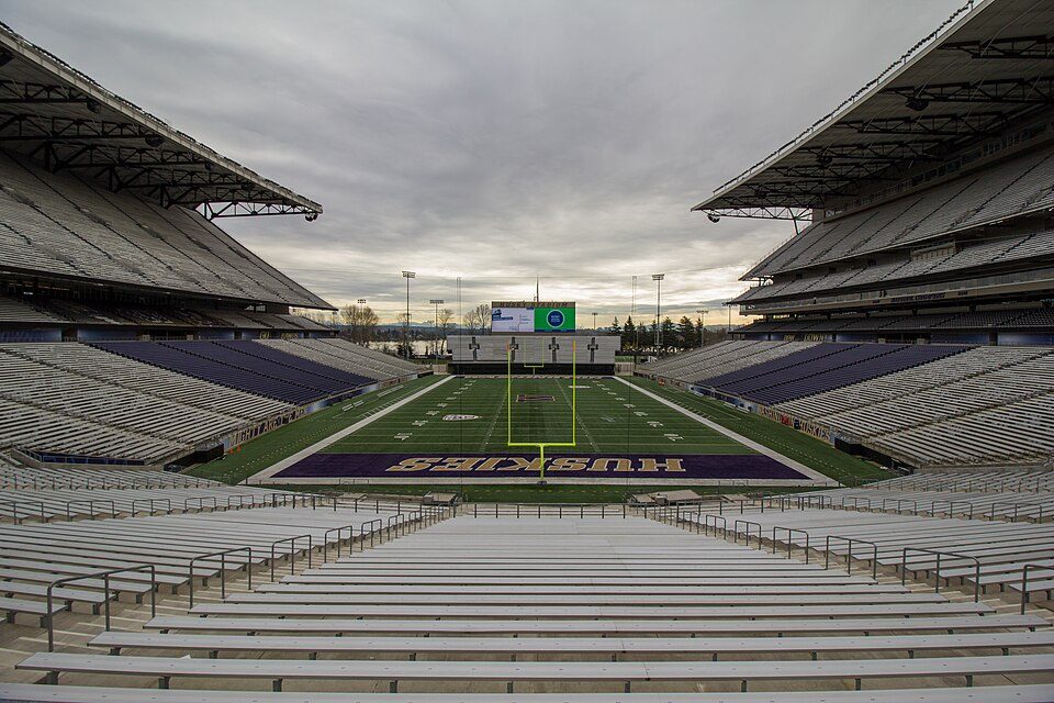
39 mi Stadium & arenaHusky Stadium
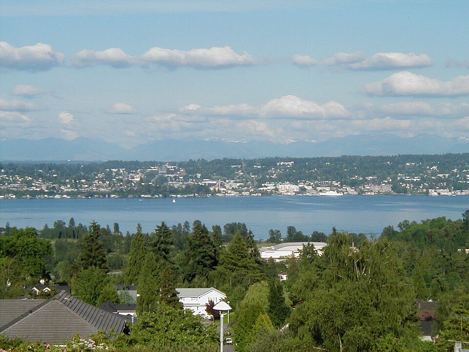
37 mi LakeLake Washington
23 mi WaterfallSnoqualmie Falls
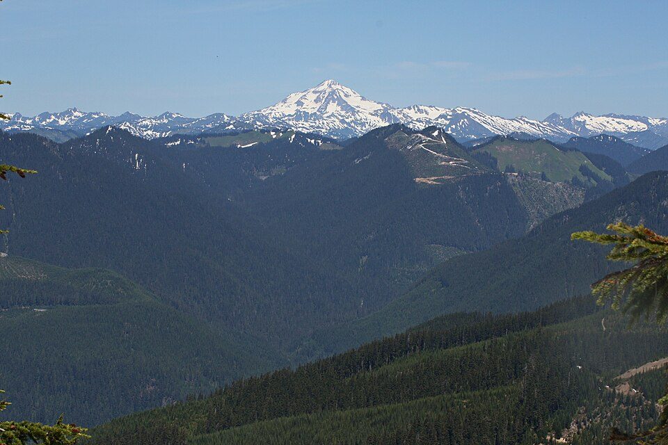
29 mi MountainGlacier Peak
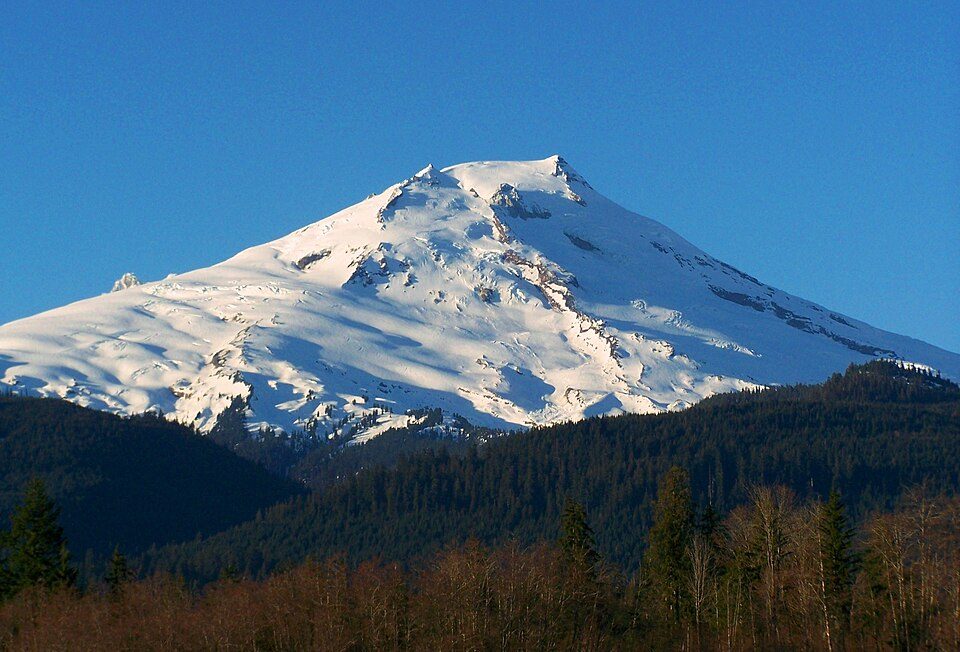
5 mi National forestMount Baker-Snoqualmie National Forest
37 mi Stadium & arenaAngel of the Winds ArenaHusky Stadium: Atomic Taco, CC BY-SA 2.0 · Lake Washington: Maltesen at da.wikipedia, Public domain · Snoqualmie Falls: Meher Anand Kasam, CC BY-SA 3.0 · Glacier Peak: Walter Siegmund (talk), CC BY-SA 3.0 · Mount Baker-Snoqualmie National Forest: Lhb1239, CC BY-SA 3.0 · Angel of the Winds Arena: Joe Mabel, CC BY-SA 3.0
None within 15 miles of Baring; the nearest are
About 1 of every 100 Baring residents are enrolled in college, against 6 across Washington.
Where Baring’s working residents go each day. Line width shows the share.
Census LEHD 2023
Census-designated place in Washington, United States
Baring is an unincorporated community and census-designated place (CDP) in King County, Washington, United States. The population was 255 at the 2020 census, up from 220 at the 2010 census. It is located on U.S. Highway 2 about 23 miles (37 km) west of Stevens Pass, along a very flat and straight three-mile section of highway that has been dubbed the "Baring Straight" (a play on the Bering Strait between Alaska and Russia), since US-2 is otherwise hilly and curvy through the mountains. The settlement was first known as "Salmon", but by 1909 it was known as Baring.
From Wikipedia, licensed CC BY-SA 4.0 · facts via Wikidata (CC0)
Short answers, built from the data on this page.
Baring has fewer than 1,000 residents, too few for fair grades; the figures below are still real.