
Manuka State Wayside Park
State park with an arboretum in Hawaii. The site is 4 mi west of Hawaiian Ocean View. Punalu'u Beach comes next on our list, 21 mi away.

A garden, 4 mi west of Hawaiian Ocean View
Plan where you’ll sleep
The nearest town with many places to stay is Honaunau-Napoopoo, 25 miles north. Where to stay ↓
Best months: Jan, Feb, Mar, Apr, May, Jun, Jul, Aug, Sep, Oct, Nov and Dec
January, February, March, April, May, June, July, August, September, October, November and December are the mild months, with highs of 75–79°. When to go ↓
Written from NOAA 1991–2020 normals, Overture places to stay, Census town figures and Wikipedia.
The climate here
Here are the months at Manuka State Wayside Park, with their weather.
Manuka State Wayside Park
The Manuka State Wayside Park is a state park of 13.4 acres (5.4 ha) with an arboretum located approximately 19 miles (31 km) west of Naʻalehu, on the Mamalahoa Highway (Route 11) section of the Hawaii Belt Road, on the island of Hawaii, Hawaii, coordinates 19°6′33″N 155°49′33″W
The name means "blundering" in the Hawaiian Language, and was the name of the ancient land division (ahupaʻa) that ran from a bay on the southwest side of the island up the slopes of the Mauna Loa volcano.
- Type
- Garden
Rooms near Manuka State Wayside Park
Lodging nearby is in Discovery Harbour (4) and Honaunau-Napoopoo (9).
Discovery Harbour
The closest town with somewhere to stay.
1,079 people
14 mi east of Manuka State Wayside Park
Compare 5 towns
| Town | From Manuka State Wayside Park | Drive | Places to stay | People | Typical home |
|---|---|---|---|---|---|
| Discovery Harbour | 14 mi east | 20 min | 4 1 hotel · 1 inn or B&B · 1 lodge or cabins · 1 campground | 1,079 | $444K |
| Hawaiian Ocean View | 4 mi east | 5 min | 1 1 hotel | 4,431 | $318K |
| Honaunau-Napoopoo | 25 mi north | 35 min | 9 3 hotels · 5 inns & B&Bs · 1 lodge or cabins | 2,629 | $836K |
| Captain Cook | 27 mi north | 40 min | 5 3 inns & B&Bs · 1 lodge or cabins · 1 hostel | 3,419 | $771K |
| Pahala | 24 mi east | 35 min | 2 2 lodges & cabins | 1,768 | $225K |
Getting there
Nearest airports with airline service
What else is near Manuka State Wayside Park
A wider trip can take in these, within 55 miles.
 Big draw54 mi MountainMauna Kea
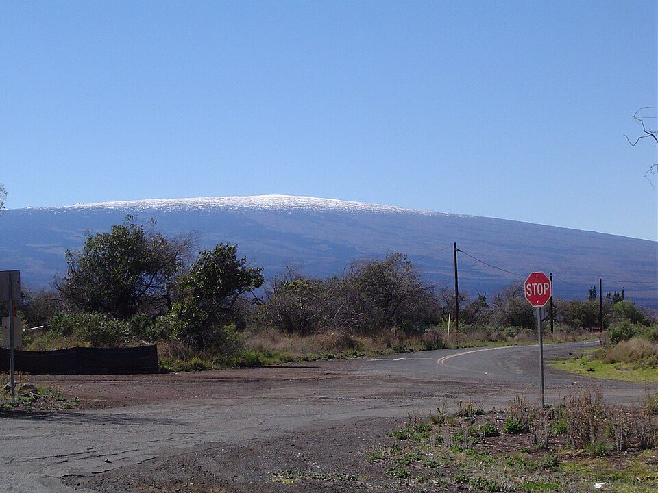 Big draw130 mi MountainMauna Loa
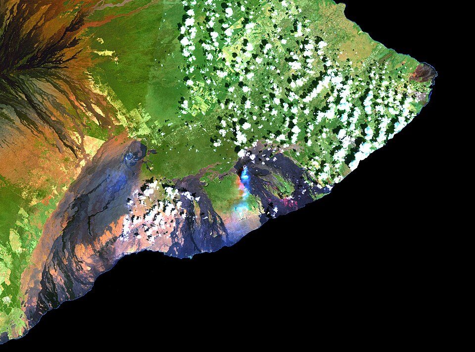 Big draw41 mi MountainKīlauea
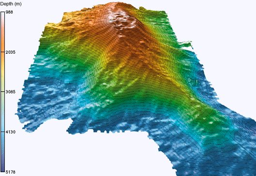 39 mi MountainKama‘ehuakanaloa Seamount
 50 mi National ParkHawai'i Volcanoes National Park1.9M visitors a year
 40 mi MountainHualālai
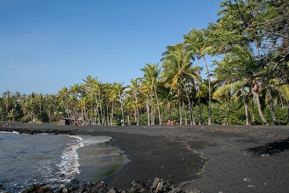 221 mi BeachPunalu'u Beach
 317 mi Ancient siteKa Lae
Photo credits
Mauna Kea: Unknown, CC BY-SA 3.0 · Mauna Loa: Gordon Joly, CC BY-SA 3.0 · Kīlauea: Hawaii Land Cover Analysis project, NOAA Coastal Services Center, Public domain · Kama‘ehuakanaloa Seamount: John Smith and Brooks Bays, Public domain · Hawai'i Volcanoes National Park: Jos-uit-boston at Dutch Wikipedia, CC BY-SA 3.0 · Hualālai: Photograph by J. Kauahikaua., Public domain · Punalu'u Beach: Diego Delso, CC BY-SA 3.0 · Ka Lae: Holly Cheng, CC BY-SA 3.0


Before visiting Manuka State Wayside Park
What town is Manuka State Wayside Park near?
Hawaiian Ocean View, HI, about 4 miles east.
When is the best time to visit Manuka State Wayside Park?
January, February, March, April, May, June, July, August, September, October, November and December, with highs of 75–79°.
What is the closest airport to Manuka State Wayside Park?
Ellison Onizuka Kona International Airport at Keāhole (KOA), about 46 miles away.
Where should I stay near Manuka State Wayside Park?
Discovery Harbour (14 mi, 4 places to stay), Honaunau-Napoopoo (25 mi, 9 places to stay) and Captain Cook (27 mi, 5 places to stay).
From people who live in Hawaiian Ocean View
Be the first to share a tip in Hawaiian Ocean View’s Town Square.
Sources: National Park Service · ski areas © OpenSkiMap / OpenStreetMap contributors · Wikidata · Wikipedia readership · NOAA climate normals · U.S. Census.