Guest, Sign inJoin

Post to Captain Cook

We’ll email a one-tap link to publish your post. No password, and nothing is public until you click it.
Already a member? Sign in
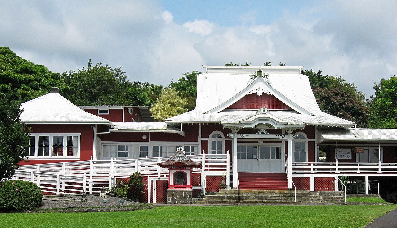
Book-hawaii-vtorov-070
Hawaii›Hawaii County

Captain CookHI

A town of 3,419, settled in 1924.

2 bordering townsMap →
Photo: Ivtorov · CC BY-SA 4.0
Photo of Captain Cook

Captain Cook, HI · Photo: Ivtorov · CC BY-SA 4.0 · Source ↗

Is Captain Cook a good place to live?

Captain Cook’s best subject grade is a B+ for health; its weakest is a D− for hazard risk. Captain Cook’s midsummer high is 77°F, below both the Hawaii town median (85°F) and the median of U.S. towns (85°F). Only 4 of Hawaii’s 125 towns score lower on walkability. 27% of the land in Captain Cook is conserved, above both Hawaii’s towns (12%) and U.S. towns (4.3%). Captain Cook has 2 places on the National Register of Historic Places, among them Daifukuji Soto Zen Mission and Uchida Coffee Farm. Captain Cook has no overall grade: it has no figures for safety and schools, and an overall grade needs at least three of the four big subjects (cost of living, safety, schools and health).

How Captain Cook grades

Each subject compared with towns across the country (schools within Hawaii), ordered by how far Captain Cook is from typical.

How grading works

Captain Cook has no overall grade: it has no figures for safety and schools, and an overall grade needs at least three of the four big subjects (cost of living, safety, schools and health).

Character Graded, but not part of the overall grade.
Described, not graded Taste, not quality: snow or an older crowd is neither good nor bad.

How TownRatings grades towns →

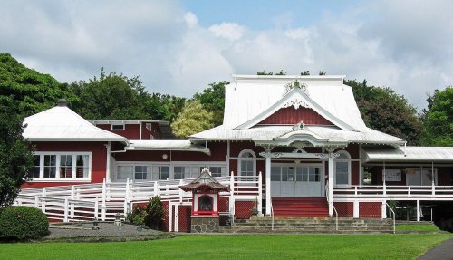
Daifukuji Soto Zen Mission
Daifukuji Soto Zen Mission · National Register of Historic Places
Captain Cook’s story

102 years in pictures

The archive holds 6 old photos and papers going back to 2006 and 4 maps from 1928 on.

2 places on the National Register of Historic Places.

  • 1924Captain Cook is settled
Explore the history →
Getting set up

Moving to Captain Cook: who provides what

Captain Cook is unincorporated, so Hawaii County and regional agencies provide most services.

PowerHawaii Electric Light Co45.8¢/kWh · EIA 2025HIFLD · EIA
WaterSouth Kona water systemNo health-based violations in 5 years · EPAEPA
Internet3 providers94% of addresses get 100/20 MbpsFCC
Trash & county servicesHawaii CountyHawaii County provides services here
SchoolsHawaii Department of EducationWhich school depends on your addressNCES
Register to voteOnlineIn Hawaii you can register online up to and including Election Day, in person up to and including Election Day, or by mail (postmarked 10 days before).vote.gov
Who runs elections hereHawaii County ClerkHawaii County; contacts on the Handbook page.FVAP, Aug 2015
ZIP codes96704, 9675096704 73% · 96750 27%Census 2020

EPA SDWIS (Oct 9, 2026) · HIFLD + EIA-861 2025 · Census 2020 ZCTAs · NCES 2024–25 · registration: vote.gov, updated Nov 18, 2024.

The data

Ordered by what stands out in Captain Cook.

Natural hazardsHazard risk grade D−

The biggest natural risk in Captain Cook is inland flooding, at a very high overall level

FEMA puts 57% of Captain Cook’s expected hazard losses down to inland flooding, and 27% to earthquakes. Expected damage from storms and floods is higher here than in 100% of U.S. communities. Households locally have drawn federal disaster aid in 5 declared disasters, most recently in 2026.

100risk score of 100
FEMA risk score
100Very high riskLowerHigher
Inland floodingEarthquakesVolcanic activity
5
federal disasters paid out here

FEMA disaster declarations and aid · FEMA National Risk Index · OpenFEMA

Schools

The schools Captain Cook’s kids attend

The Hawaii Department of Education school district runs its public schools. One of its 2 schools is below, with the reason it’s listed. Enrollment at Captain Cook’s public school: 505 students.

SchoolLevelStudentsLetter
Konawaena Elementary SchoolLargest public elementary schoolGrades PK–5Grades PK–5505C+

NCES · EDFacts

OutdoorsB−

Nearly a quarter of Captain Cook is conserved land

There are 8.4 miles of trail across 1 park or preserve. Parks and preserves in Captain Cook: one, of 3 acres. The concentration of trails for Captain Cook comes to 0.7 miles per square mile.

26.6%conserved
26.6%
conserved · 2,185 of 8,219 acres
8.4 mi
of trails · 0.7 per sq mi
Biggest places to walkTrailsAcres
1. Arthur L Greenwell Park—3

Trails & parks © OpenStreetMap contributors · Conserved land: USGS PAD-US

HealthB+

On CDC estimates, Captain Cook is healthier than 66% of U.S. towns

Captain Cook: just over three quarters of adults had a checkup this year. Only 3 of the 93 Hawaii towns we compare have a lower share of adults who sleep under 7 hours than Captain Cook.

67%healthier than U.S. townsB+Health Grade
Captain CookHawaii townsU.S. towns
Obesity (CDC PLACES)25%27%35%
Sleep under 7 hours (CDC PLACES)37%45%36%
Depression (CDC PLACES)19%17%23%
High blood pressure (CDC PLACES)30%31%35%
32 measures vs. Hawaii
1 better21 too close to call10 worse
What stands outCaptain CookHI
Fewer adults sleeping under 7 hours36.8%45.7%
More adults with COPD6.8%5.3%
Kona Community Hospital
2.2 mi away · emergency room
3 of 3
care shortages: primary care, dental, mental health
32nd
percentile among HI towns

CDC PLACES 2025 · modeled estimates for adults · CMS · HRSA

Climate

Mild winters and pleasant summers in Captain Cook

Captain Cook’s January low is 57°F.

78°summer high

Typical low → high °F

Winter57–74°
Spring60–74°
Summer63–77°
Fall62–77°
78°
typical summer high

NOAA U.S. Climate Normals, 1991–2020

HousingCost of living grade C−

The typical home in Captain Cook: about $687K

For Captain Cook, the typical rent is $2,164 a month. In Captain Cook, 69% of households are owner-occupiers.

$687KZillow home value
Captain CookHawaii townsU.S. towns
Median rent$2,164 a month$2,009 a month$1,185 a month
Households that own their home69%71%73%

Typical home value

Captain Cook$687K
Hawaii$833K
−0%
value change, 1 year
2
homes sold in May

Census ACS, 2020–24 · Zillow Home Value Index · Redfin Data Center

Work & commuteJobs & income grade B−

Captain Cook has 1.4 jobs for every working resident, and 418 people commute in

For residents in Captain Cook, the share who live below the poverty line is 4.4%. Most working residents leave Captain Cook for work: only 5% work in town. The town had 433 jobs in 2023, up 68 from 2013. The typical household income here is $109,000.

5%work in town
Captain CookHawaii townsU.S. towns
Below the poverty line4.4%9.7%9.6%
Median household income$109,000$100,000$80,000
Average trip to work27 minutes28 minutes25 minutes
Working residents who work in town4.8%3.6%8%

Where working residents work

In Captain Cook5%
Urban Honolulu15%
Kailua13%
Kahaluu-Keauhou10%
Kealakekua10%
20 mi
median commute distance
433
jobs based in Captain Cook
Balanced
jobs vs. working residents
D
Walkability grade: more walkable than 6% of U.S. towns

Census LEHD 2023 · ACS

Nearby attractions

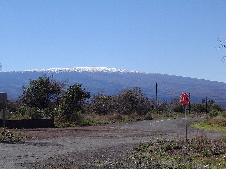
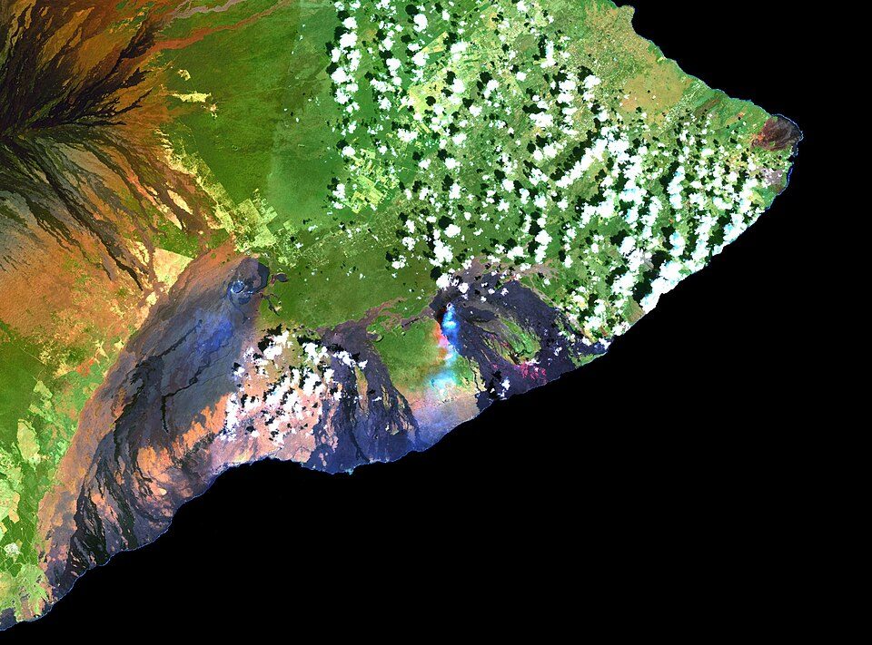
Mauna Kea and 14 more within 40 miles

Museums, parks, gardens and other places to visit around Captain Cook. Close and well known come first.

All 31 attractions →
Sources: National Park Service · ski areas © OpenSkiMap / OpenStreetMap contributors · Wikidata · Wikipedia readership · photos via Wikimedia Commons
Photo credits

Mauna Kea: Unknown, CC BY-SA 3.0 · Mauna Loa: Gordon Joly, CC BY-SA 3.0 · Kīlauea: Hawaii Land Cover Analysis project, NOAA Coastal Services Center, Public domain · Hawai'i Volcanoes National Park: Jos-uit-boston at Dutch Wikipedia, CC BY-SA 3.0 · Hualālai: Photograph by J. Kauahikaua., Public domain · Pu'uhonua o Honaunau National Historical Park: Carol M. Highsmith, Public domain

Keep exploring

Everything we know about Captain Cook

17pages on Captain Cook
After high school

Colleges nearby

None within 15 miles of Captain Cook; the nearest are

Landmarks

2 places in Captain Cook on the National Register of Historic Places.

All landmarks →

About Captain Cook

Census-designated place in United States

Captain Cook is a census-designated place (CDP) in Hawaiʻi County, Hawaiʻi, in the United States, located in the District of South Kona. The community, within the land division of Kealakekua, is so named because the post office for the area was located in the Captain Cook Coffee Co. during the early 1900s. As of the 2020 census, the CDP population was 3,253, down from 3,429 at the 2010 census. As of March 2022, a resolution was under consideration to rename the town to "Kaʻawaloa", meaning "long landing place".

From Wikipedia, licensed CC BY-SA 4.0 · facts via Wikidata (CC0)

Area
13 sq mi
Elevation
1,250 ft
ZIP code
96704
Area code
808

Captain Cook’s neighbors

2 towns share a border with Captain Cook.

Explore the map →
How the neighbors grade
TownHI rankOverallCostSafetySchoolsHealth
Captain Cook——C−——B+
Honaunau-Napoopoo——D——B
Kealakekua——B+——B+

Kealakekua has fewer than 2,500 residents, so it gets subject grades but no overall grade. Captain Cook, Honaunau-Napoopoo and Kealakekua report no FBI crime data of their own. Captain Cook and Honaunau-Napoopoo aren’t graded (fewer than 1,000 residents, or not enough data). Compare Captain Cook with a neighbor →

Questions about Captain Cook

Short answers, built from the data on this page.

Is Captain Cook, HI a good place to live?

Captain Cook has no overall grade: it has no figures for safety and schools, and an overall grade needs at least three of the four big subjects (cost of living, safety, schools and health).

Is Captain Cook, HI expensive?

Yes. That is 8.7 years of the area's median household income ($78,639 across the Hilo-Kailua, HI area). Cost of living, which also weighs rents, property taxes and how many households pay 30% or more of their income for housing, grades C−.