
Mauna Kea
Mauna Kea (, Hawaiian: [ˈmɐwnə ˈkɛjə]; abbreviation for Mauna a Wākea, 'White Mountain') is a dormant shield volcano on the island of Hawaiʻi. You will find it 17 mi southeast of Waimea. Our list goes on with Mauna Loa, 25 mi away.

A mountain, 17 mi southeast of Waimea
Plan where you’ll sleep
The nearest town with many places to stay is Honomu, 24 miles east. Where to stay ↓
One of the most looked-up attractions in the U.S.
About 359K people a year read its Wikipedia article, more than for 99% of the 7,799 attractions we track.
Best months: Jan, Feb, Mar and Dec
January, February, March and December are the mild months, with highs of 82–84°. When to go ↓
Written from NOAA 1991–2020 normals, Overture places to stay, Census town figures, Wikidata and Wikipedia.
The year’s weather
Each month’s highs and lows around Mauna Kea are below.
Mauna Kea
Mauna Kea (, Hawaiian: [ˈmɐwnə ˈkɛjə]; abbreviation for Mauna a Wākea, 'White Mountain') is a dormant shield volcano on the island of Hawaiʻi. Its peak is 13,803 feet (4,207.3 meters) above sea level, making it the highest point in Hawaii and the island with the second highest high point, behind New Guinea. The peak is about 125 ft (38 m) higher than Mauna Loa, its more massive neighbor. Mauna Kea is unusually topographically prominent for its height: its prominence from sea level is 15th in the world among mountains, at 13,803 ft (4,207.3 m); its prominence from under the ocean is 30,610 ft (9,330 m), rivaled only by Mount Everest. This dry prominence is greater than Everest's height above sea level of 8,848.86 metres or 29,031.7 feet, and some authorities have labeled Mauna Kea the tallest mountain in the world, from its underwater base.
- Type
- Mountain
- Elevation
- 13,803 ft
- Listed
- National Natural Landmark
- Wikipedia readers
- 359K a year
Where to base yourself for Mauna Kea
Rooms are nearest in Waikoloa Beach Resort (42) and Hilo (31).
Waikoloa Beach Resort
The closest town with somewhere to stay.
656 people · 62% vacation homes
28 mi west of Mauna Kea
Compare 8 towns
| Town | From Mauna Kea | Drive | Places to stay | People | Typical home |
|---|---|---|---|---|---|
| Waikoloa Beach Resort 62% vacation homes | 28 mi west | 40 min | 42 42 hotels | 656 | $1,366K |
| Hilo | 27 mi east | 40 min | 31 11 hotels · 15 inns & B&Bs · 3 lodges & cabins · 2 hostels | 50,404 | $483K |
| Volcano | 26 mi southeast | 40 min | 16 1 hotel · 7 inns & B&Bs · 7 lodges & cabins · 1 hostel | 746 | $575K |
| Waimea | 17 mi northwest | 25 min | 3 1 hotel · 1 inn or B&B · 1 lodge or cabins | 9,286 | $677K |
| Honokaa | 18 mi north | 25 min | 3 1 inn or B&B · 1 lodge or cabins · 1 hostel | 1,963 | $611K |
| Honomu | 24 mi east | 35 min | 6 2 hotels · 4 inns & B&Bs | 376 | $428K |
| Laupahoehoe | 19 mi northeast | 30 min | 2 1 lodge or cabins · 1 campground | 916 | $578K |
| Waikoloa Village 20% vacation homes | 24 mi west | 35 min | 3 3 hotels | 7,543 | $803K |
Getting there
Nearest airports with airline service
Pair Mauna Kea with these
These well-known sights sit within 64 miles.
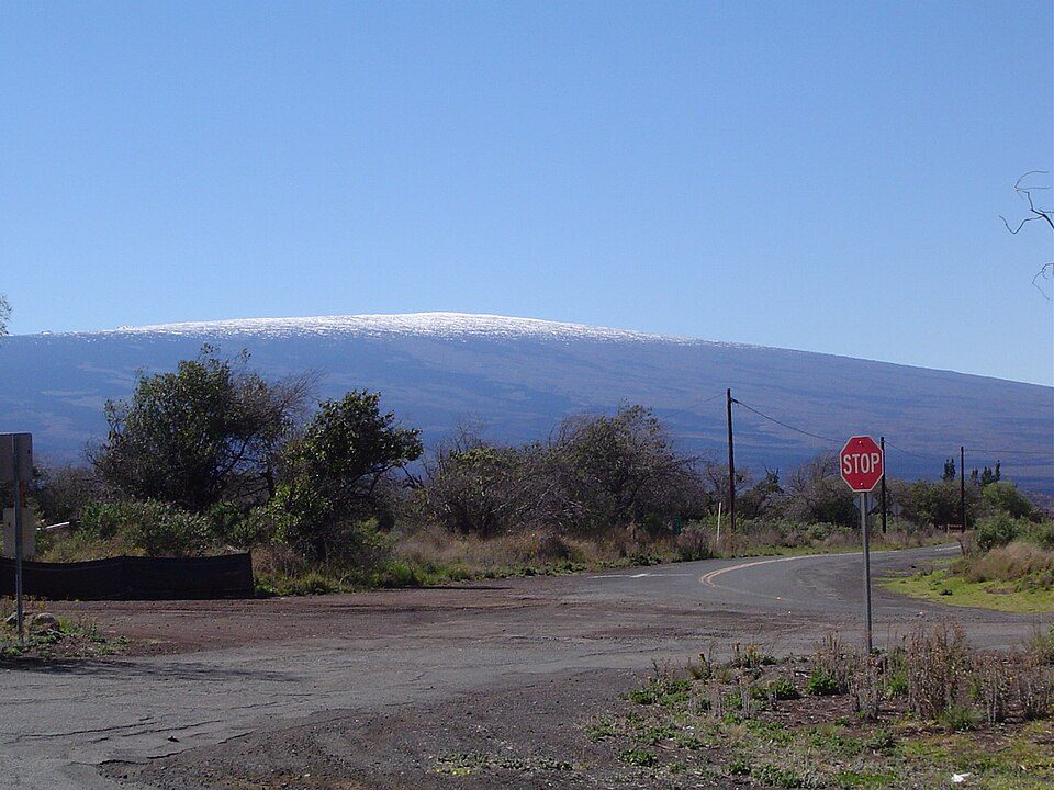 Big draw125 mi MountainMauna Loa
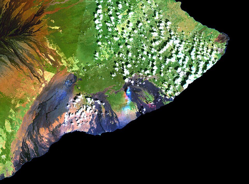 Big draw30 mi MountainKīlauea
 37 mi National ParkHawai'i Volcanoes National Park1.9M visitors a year
 227 mi MountainHualālai
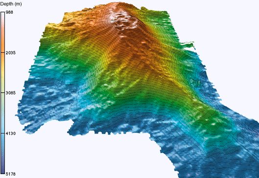 64 mi MountainKama‘ehuakanaloa Seamount
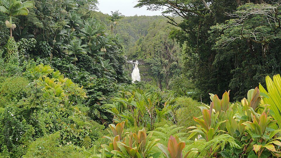 321 mi State parkAkaka Falls State Park
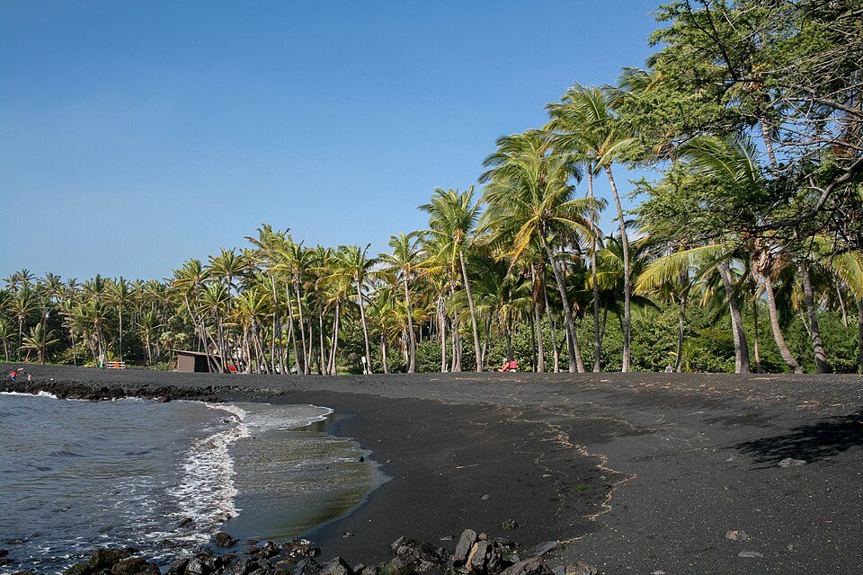 47 mi BeachPunalu'u Beach
 40 mi National Historical ParkPu'uhonua o Honaunau National Historical Park372K visitors a year
Photo credits
Mauna Loa: Gordon Joly, CC BY-SA 3.0 · Kīlauea: Hawaii Land Cover Analysis project, NOAA Coastal Services Center, Public domain · Hawai'i Volcanoes National Park: Jos-uit-boston at Dutch Wikipedia, CC BY-SA 3.0 · Hualālai: Photograph by J. Kauahikaua., Public domain · Kama‘ehuakanaloa Seamount: John Smith and Brooks Bays, Public domain · Akaka Falls State Park: Robert Linsdell from St. Andrews, Canada, CC BY 2.0 · Punalu'u Beach: Diego Delso, CC BY-SA 3.0 · Pu'uhonua o Honaunau National Historical Park: Carol M. Highsmith, Public domain


Before visiting Mauna Kea
What town is Mauna Kea near?
Waimea, HI, about 17 miles northwest.
When is the best time to visit Mauna Kea?
January, February, March and December, with highs of 82–84°.
What is the closest airport to Mauna Kea?
Waimea Kohala (MUE), about 18 miles away. The nearest big hub is Ellison Onizuka Kona International Airport at Keāhole (KOA), about 38 miles.
Where should I stay near Mauna Kea?
Waikoloa Beach Resort (28 mi, 42 places to stay), Hilo (27 mi, 31 places to stay) and Volcano (26 mi, 16 places to stay).
Ask people in Waimea
Questions and tips go in Waimea’s Town Square.
Sources: National Park Service · ski areas © OpenSkiMap / OpenStreetMap contributors · Wikidata · Wikipedia readership · NOAA climate normals · U.S. Census.