
Ka Lae
Ka Lae (Hawaiian: the point), also known as South Point, is the southernmost point of the Big Island of Hawaii and of the 50 United States. Its location is 10 mi south of Discovery Harbour. Top of the list nearby is Papakolea Beach, 2.9 mi away.

An ancient site, 10 mi south of Discovery Harbour
Plan where you’ll sleep
No town within 30 miles has many hotels or campgrounds. Look at the towns below, or plan to camp. Where to stay ↓
Best months: Jan, Feb, Mar, Apr, May, Jun, Jul, Aug, Sep, Oct, Nov and Dec
January, February, March, April, May, June, July, August, September, October, November and December are the mild months, with highs of 75–79°. When to go ↓
Written from NOAA 1991–2020 normals, Overture places to stay, Census town figures, Wikidata and Wikipedia.
How the seasons run
Here is how the weather at Ka Lae changes month by month.
Ka Lae
Ka Lae (Hawaiian: the point), also known as South Point, is the southernmost point of the Big Island of Hawaii and of the 50 United States. The Ka Lae area is registered as a National Historic Landmark District under the name South Point Complex. The area is also known for its strong ocean currents and winds and is the home of a wind farm.
- Type
- Ancient site
- Listed
- National Historic Landmark (1962) · National Register of Historic Places (1966)
- Wikipedia readers
- 11K a year
A base for Ka Lae
The closest lodging is in Discovery Harbour (4).
Discovery Harbour
The closest town with somewhere to stay.
1,079 people
10 mi north of Ka Lae
Compare 3 towns
| Town | From Ka Lae | Drive | Places to stay | People | Typical home |
|---|---|---|---|---|---|
| Discovery Harbour | 10 mi north | 15 min | 4 1 hotel · 1 inn or B&B · 1 lodge or cabins · 1 campground | 1,079 | $444K |
| Hawaiian Ocean View | 14 mi northwest | 20 min | 1 1 hotel | 4,431 | $318K |
| Pahala | 24 mi northeast | 35 min | 2 2 lodges & cabins | 1,768 | $225K |
Getting there
Nearest airports with airline service
Close to Ka Lae
More places people know lie within 65 miles.
 Big draw64 mi MountainMauna Kea
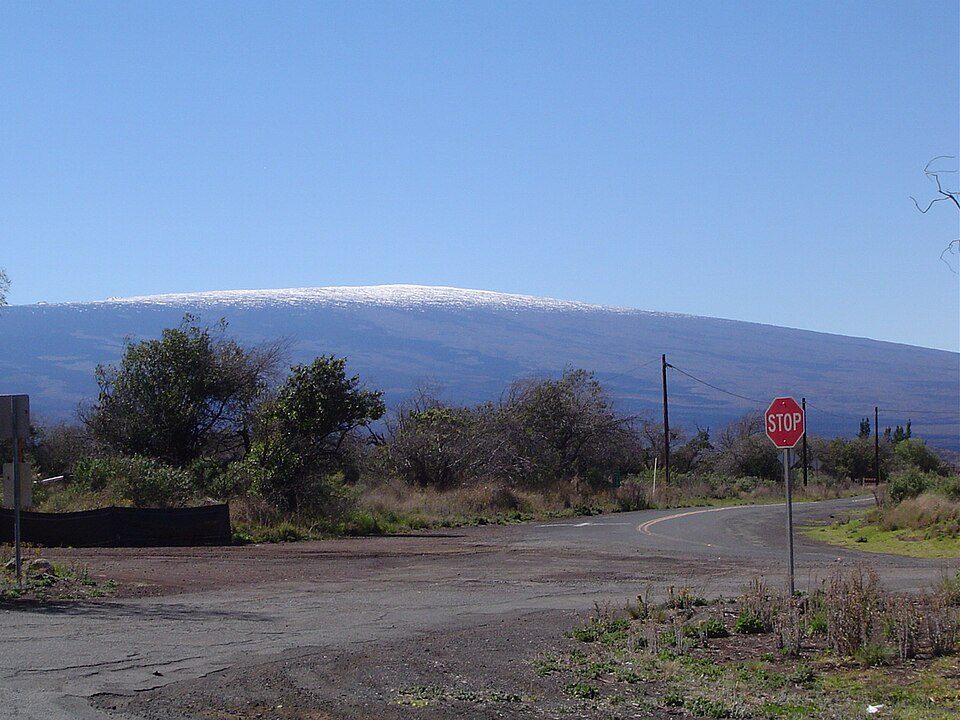 Big draw40 mi MountainMauna Loa
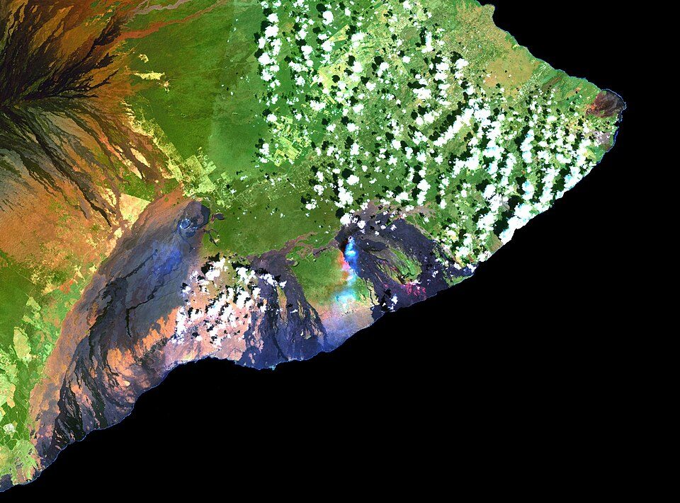 Big draw44 mi MountainKīlauea
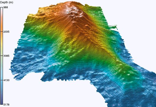 127 mi MountainKama‘ehuakanaloa Seamount
 23 mi BeachPapakolea Beach
 50 mi National ParkHawai'i Volcanoes National Park1.9M visitors a year
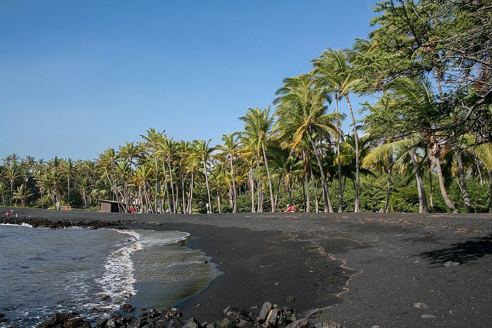 319 mi BeachPunalu'u Beach
 55 mi MountainHualālai
Photo credits
Mauna Kea: Unknown, CC BY-SA 3.0 · Mauna Loa: Gordon Joly, CC BY-SA 3.0 · Kīlauea: Hawaii Land Cover Analysis project, NOAA Coastal Services Center, Public domain · Kama‘ehuakanaloa Seamount: John Smith and Brooks Bays, Public domain · Papakolea Beach: Pushkr from , United States, CC BY 2.0 · Hawai'i Volcanoes National Park: Jos-uit-boston at Dutch Wikipedia, CC BY-SA 3.0 · Punalu'u Beach: Diego Delso, CC BY-SA 3.0 · Hualālai: Photograph by J. Kauahikaua., Public domain


Asked about Ka Lae
What town is Ka Lae near?
Discovery Harbour, HI, about 10 miles north.
When is the best time to visit Ka Lae?
January, February, March, April, May, June, July, August, September, October, November and December, with highs of 75–79°.
What is the closest airport to Ka Lae?
Ellison Onizuka Kona International Airport at Keāhole (KOA), about 62 miles away.
Where should I stay near Ka Lae?
Discovery Harbour (10 mi, 4 places to stay).
Ask people in Discovery Harbour
Tips will appear here once someone posts in Discovery Harbour’s Town Square.
Sources: National Park Service · ski areas © OpenSkiMap / OpenStreetMap contributors · Wikidata · Wikipedia readership · NOAA climate normals · U.S. Census.