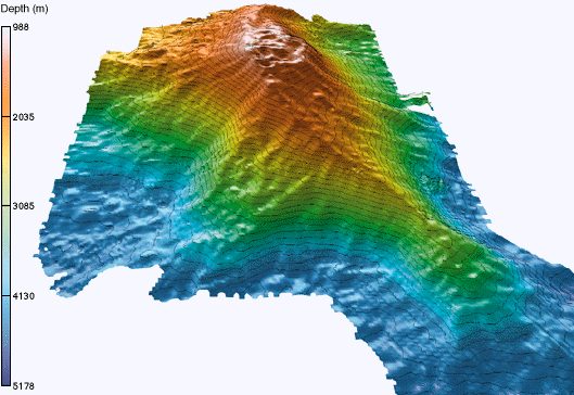
Kama‘ehuakanaloa Seamount
Kamaʻehuakanaloa Seamount (previously known as Lōʻihi) is an active submarine volcano about 22 mi (35 km) off the southeast coast of the island of Hawaii. Its address puts it 24 mi southeast of Pahala. Our list goes on with Punalu'u Beach, 21 mi away.

A mountain, 24 mi southeast of Pahala
Plan where you’ll sleep
The nearest town with many places to stay is Mauna Loa Estates, 35 miles north. Where to stay ↓
Best months: Jan, Feb, Mar, Apr, May, Jun, Jul, Sep, Oct, Nov and Dec
January, February, March, April, May, June, July, September, October, November and December are the mild months, with highs of 79–84°. When to go ↓
Written from NOAA 1991–2020 normals, Overture places to stay, Census town figures, Wikidata and Wikipedia.
When to go
Below are typical highs and lows near Kama‘ehuakanaloa Seamount.
Kama‘ehuakanaloa Seamount
Kamaʻehuakanaloa Seamount (previously known as Lōʻihi) is an active submarine volcano about 22 mi (35 km) off the southeast coast of the island of Hawaii. The top of the seamount is about 3,200 ft (975 m) below sea level. This seamount is on the flank of Mauna Loa, the largest subaerial active shield volcano on Earth. Kamaʻehuakanaloa is the newest volcano in the Hawaiian–Emperor seamount chain, a string of volcanoes that stretches about 3,900 mi (6,200 km) northwest of Kamaʻehuakanaloa. Unlike most active volcanoes in the Pacific Ocean that make up the active plate margins on the Pacific Ring of Fire, Kamaʻehuakanaloa and the other volcanoes of the Hawaiian–Emperor seamount chain are hotspot volcanoes and formed well away from the nearest plate boundary.
- Type
- Mountain
- Elevation
- -3,199 ft
- Wikipedia readers
- 35K a year
Hotels and campgrounds near Kama‘ehuakanaloa Seamount
The closest lodging is in Mauna Loa Estates (13) and Discovery Harbour (4).
Mauna Loa Estates
The closest town with somewhere to stay.
901 people
35 mi north of Kama‘ehuakanaloa Seamount
Compare 3 towns
| Town | From Kama‘ehuakanaloa Seamount | Drive | Places to stay | People | Typical home |
|---|---|---|---|---|---|
| Mauna Loa Estates | 35 mi north | 55 min | 13 2 hotels · 7 inns & B&Bs · 4 lodges & cabins | 901 | $357K |
| Discovery Harbour | 25 mi west | 35 min | 4 1 hotel · 1 inn or B&B · 1 lodge or cabins · 1 campground | 1,079 | $444K |
| Pahala | 24 mi northwest | 35 min | 2 2 lodges & cabins | 1,768 | $225K |
Getting there
Nearest airports with airline service
Beyond Kama‘ehuakanaloa Seamount
Every place here is under 67 miles away.
 Big draw64 mi MountainMauna Kea
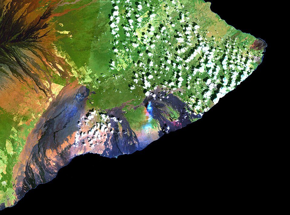 Big draw35 mi MountainKīlauea
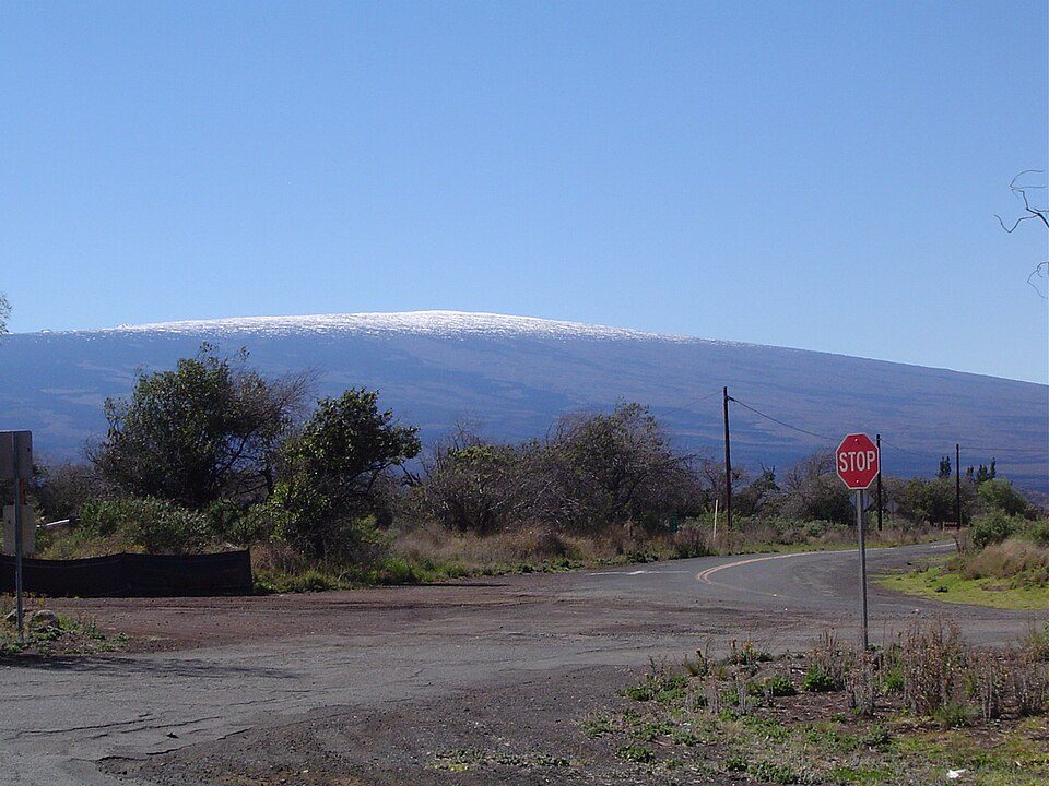 Big draw44 mi MountainMauna Loa
 35 mi National ParkHawai'i Volcanoes National Park1.9M visitors a year
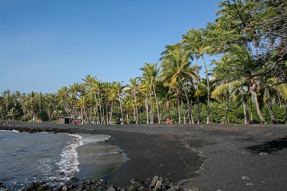 121 mi BeachPunalu'u Beach
 66 mi MountainHualālai
 225 mi BeachPapakolea Beach
 327 mi Ancient siteKa Lae
Photo credits
Mauna Kea: Unknown, CC BY-SA 3.0 · Kīlauea: Hawaii Land Cover Analysis project, NOAA Coastal Services Center, Public domain · Mauna Loa: Gordon Joly, CC BY-SA 3.0 · Hawai'i Volcanoes National Park: Jos-uit-boston at Dutch Wikipedia, CC BY-SA 3.0 · Punalu'u Beach: Diego Delso, CC BY-SA 3.0 · Hualālai: Photograph by J. Kauahikaua., Public domain · Papakolea Beach: Pushkr from , United States, CC BY 2.0 · Ka Lae: Holly Cheng, CC BY-SA 3.0


Visiting Kama‘ehuakanaloa Seamount: the answers
What town is Kama‘ehuakanaloa Seamount near?
Pahala, HI, about 24 miles northwest.
When is the best time to visit Kama‘ehuakanaloa Seamount?
January, February, March, April, May, June, July, September, October, November and December, with highs of 79–84°.
What is the closest airport to Kama‘ehuakanaloa Seamount?
Hilo (ITO), about 57 miles away. The nearest big hub is Ellison Onizuka Kona International Airport at Keāhole (KOA), about 76 miles.
Where should I stay near Kama‘ehuakanaloa Seamount?
Mauna Loa Estates (35 mi, 13 places to stay) and Discovery Harbour (25 mi, 4 places to stay).
Tips from people in Pahala
Questions and tips go in Pahala’s Town Square.
Sources: National Park Service · ski areas © OpenSkiMap / OpenStreetMap contributors · Wikidata · Wikipedia readership · NOAA climate normals · U.S. Census.