
Linville Falls
Linville Falls is a waterfall located in the Blue Ridge Mountains of North Carolina in the United States. Its setting is 5 mi south of Crossnore. The first name on our list around it is Mount Mitchell, 23 mi away.

A waterfall, 5 mi south of Crossnore
Crossnore is the nearest base
Crossnore is 5 miles north, with 5 places to stay. Where to stay ↓
A day trip from Charlotte
Charlotte is about 80 miles southeast (straight-line). Where to stay ↓
Best months: May, Jun, Jul, Aug and Sep
May, June, July, August and September are the mild months, with highs of 68–77°. When to go ↓
Written from NOAA 1991–2020 normals, Overture places to stay, Census town figures and Wikipedia.
Month by month
This is the year’s weather near Linville Falls.
Linville Falls
Linville Falls is a waterfall located in the Blue Ridge Mountains of North Carolina in the United States. The falls move in several distinct steps, beginning in a twin set of upper falls, moving down a small gorge, and culminating in a high-volume 45-foot (14 m) drop.
It is named for the Linville River, which goes over the falls. Linville Falls has the highest volume of any waterfall on the Northern Edge of the Blue Ridge Mountains.
- Type
- Waterfall
- Wikipedia readers
- 7.3K a year
A base for Linville Falls
The closest lodging is in Spruce Pine (9) and Banner Elk (19).
Spruce Pine
The closest town with somewhere to stay.
2,211 people
8 mi west of Linville Falls
Compare 8 towns
| Town | From Linville Falls | Drive | Places to stay | People | Typical home | Safety |
|---|---|---|---|---|---|---|
| Spruce Pine | 8 mi west | 15 min | 9 4 hotels · 2 motels · 1 inn or B&B · 1 campground · 1 RV park | 2,211 | $208K | — |
| Banner Elk 44% vacation homes | 15 mi north | 20 min | 19 6 inns & B&Bs · 11 lodges & cabins · 1 hostel · 1 campground | 1,242 | $458K | A |
| Blowing Rock 70% vacation homes | 19 mi northeast | 30 min | 32 10 hotels · 1 motel · 13 inns & B&Bs · 8 lodges & cabins | 1,324 | $705K | C |
| Sugar Mountain 77% vacation homes | 13 mi north | 20 min | 13 9 hotels · 2 lodges & cabins · 1 campground · 1 RV park | 382 | $344K | — |
| Crossnore 23% vacation homes | 5 mi north | 10 min | 5 1 hotel · 3 lodges & cabins · 1 campground | 238 | $314K | — |
| Beech Mountain 72% vacation homes | 18 mi north | 25 min | 24 10 hotels · 1 inn or B&B · 12 lodges & cabins · 1 campground | 659 | $444K | — |
| Boone | 23 mi northeast | 35 min | 35 19 hotels · 1 motel · 2 inns & B&Bs · 9 lodges & cabins · 3 campgrounds · 1 RV park | 19,929 | $411K | B |
| Newland | 10 mi north | 15 min | 5 2 hotels · 1 motel · 1 inn or B&B · 1 RV park | 728 | $242K | — |
Getting there
Nearest airports with airline service
Worth adding to a visit
Every place here is under 65 miles away.
 Big draw123 mi MountainMount Mitchell
 213 mi MountainGrandfather Mountain
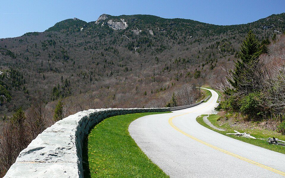 65 mi ParkwayBlue Ridge Parkway16.5M visitors a year
 33 mi Park & preserveLinville Gorge Wilderness
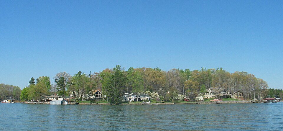 64 mi LakeLake Norman422 mi Theme parkTweetsie Railroad516 mi Theme parkLand of Oz
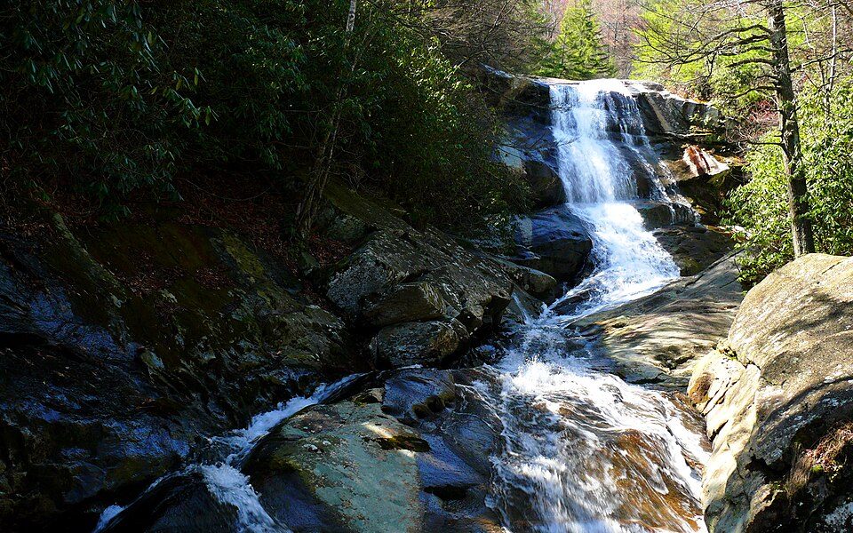 63 mi National forestPisgah National Forest
Photo credits
Mount Mitchell: Unknown, Public domain · Grandfather Mountain: Original uploader was KyleAndMelissa22 at en.wikipedia, Public domain · Blue Ridge Parkway: Ken Thomas, Public domain · Linville Gorge Wilderness: No machine-readable author provided. Amcbride~commonswiki assumed (based on copy, Public domain · Lake Norman: Prince Grobhelm, CC BY-SA 3.0 · Pisgah National Forest: Ken Thomas, Public domain


Questions about Linville Falls
What town is Linville Falls near?
Crossnore, NC, about 5 miles north.
When is the best time to visit Linville Falls?
May, June, July, August and September, with highs of 68–77°.
How far is Linville Falls from Charlotte?
About 80 miles southeast of Charlotte, as the crow flies.
What is the closest airport to Linville Falls?
Tri-Cities Regional TN/VA (TRI), about 45 miles away. The nearest big hub is Charlotte Douglas (CLT), about 75 miles.
Where should I stay near Linville Falls?
Spruce Pine (8 mi, 9 places to stay), Banner Elk (15 mi, 19 places to stay) and Blowing Rock (19 mi, 32 places to stay).
Notes from people in Crossnore
Questions and tips go in Crossnore’s Town Square.
Sources: National Park Service · ski areas © OpenSkiMap / OpenStreetMap contributors · Wikidata · Wikipedia readership · NOAA climate normals · U.S. Census.