
Los Padres National Forest
Los Padres National Forest is a United States national forest in southern and central California. This one stands 15 mi north of Eastern Goleta Valley. It was established in 1936.

A national forest, 15 mi north of Eastern Goleta Valley
Plan where you’ll sleep
The nearest town with many places to stay is Eastern Goleta Valley, 15 miles south. Where to stay ↓
A day trip from Los Angeles
Los Angeles is about 89 miles southeast (straight-line). Where to stay ↓
Best months: Jan, Feb, Mar, Apr, May, Jun, Jul, Aug, Sep, Oct, Nov and Dec
January, February, March, April, May, June, July, August, September, October, November and December are the mild months, with highs of 64–74°. When to go ↓
Established in 1936
Los Padres National Forest dates from 1936. About ↓
Written from NOAA 1991–2020 normals, Overture places to stay, Census town figures, Wikidata and Wikipedia.
The climate here
Here is how the weather at Los Padres National Forest changes month by month.
Los Padres National Forest
Los Padres National Forest is a United States national forest in southern and central California. Administered by the United States Forest Service, Los Padres includes most of the mountainous land along the California coast from Ventura to Monterey, extending inland. Elevations range from sea level to 8,847 feet (2,697 m).
- Type
- National forest
- Established
- 1936
- Area
- 2,973 square miles
- Wikipedia readers
- 20K a year
Nights near Los Padres National Forest
The nearest towns with places to stay are Santa Barbara (88) and Goleta (13).
Santa Barbara
The closest town with somewhere to stay.
86,422 people
18 mi south of Los Padres National Forest
Compare 8 towns
| Town | From Los Padres National Forest | Drive | Places to stay | People | Typical home | Safety |
|---|---|---|---|---|---|---|
| Santa Barbara | 18 mi south | 25 min | 88 55 hotels · 6 motels · 23 inns & B&Bs · 1 lodge or cabins · 2 hostels · 1 RV park | 86,422 | $1,571K | D |
| Goleta | 17 mi south | 25 min | 13 12 hotels · 1 motel | 32,401 | $1,062K | C+ |
| Solvang | 23 mi west | 35 min | 23 14 hotels · 1 motel · 7 inns & B&Bs · 1 campground | 5,944 | $950K | B+ |
| Eastern Goleta Valley | 15 mi south | 25 min | 6 5 hotels · 1 campground | 28,295 | $1,362K | — |
| Santa Ynez | 20 mi west | 30 min | 8 4 hotels · 2 motels · 1 inn or B&B · 1 lodge or cabins | 4,467 | $1,163K | — |
| Carpinteria | 24 mi southeast | 35 min | 12 5 hotels · 4 motels · 2 inns & B&Bs · 1 lodge or cabins | 12,734 | $1,043K | C+ |
| Buellton | 25 mi west | 40 min | 14 7 hotels · 4 motels · 3 campgrounds | 5,158 | $837K | B− |
| University of California-Santa Barbara | 18 mi south | 25 min | 5 3 hotels · 2 campgrounds | 12,121 | $453K | — |
Day trip from
Straight-line miles.
Getting there
Nearest airports with airline service
Worth adding to a visit
Each of these is within 70 miles.
 Big draw68 mi Theme parkSix Flags Magic Mountain3.2M visitors a year
 60 mi MuseumRonald Reagan Presidential Library
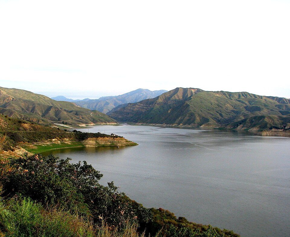 58 mi LakeLake Piru
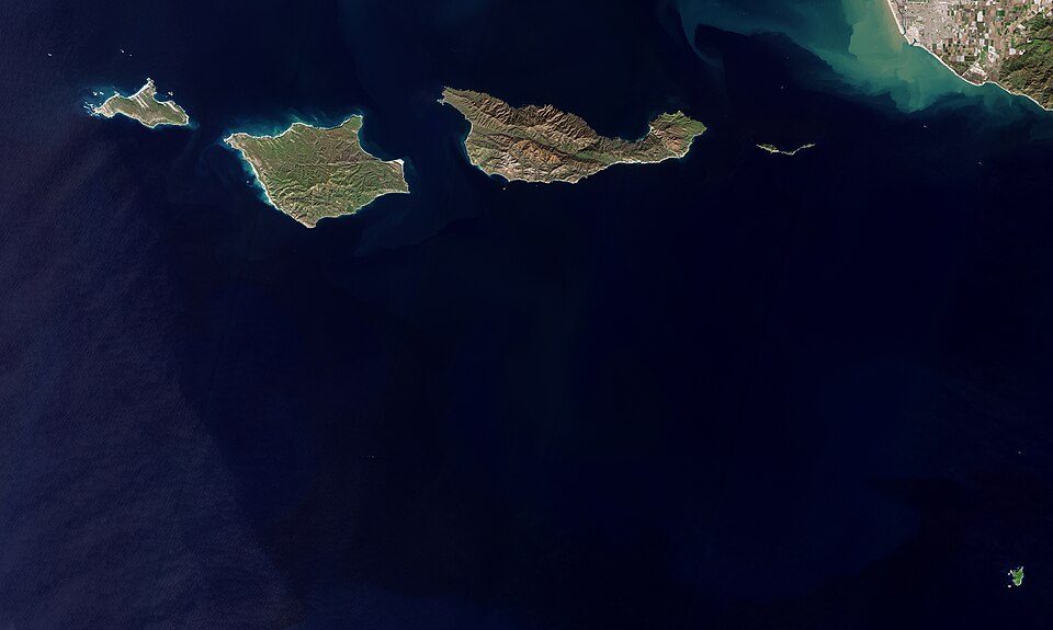 70 mi National ParkChannel Islands National Park227K visitors a year
 116 mi GardenLotusland
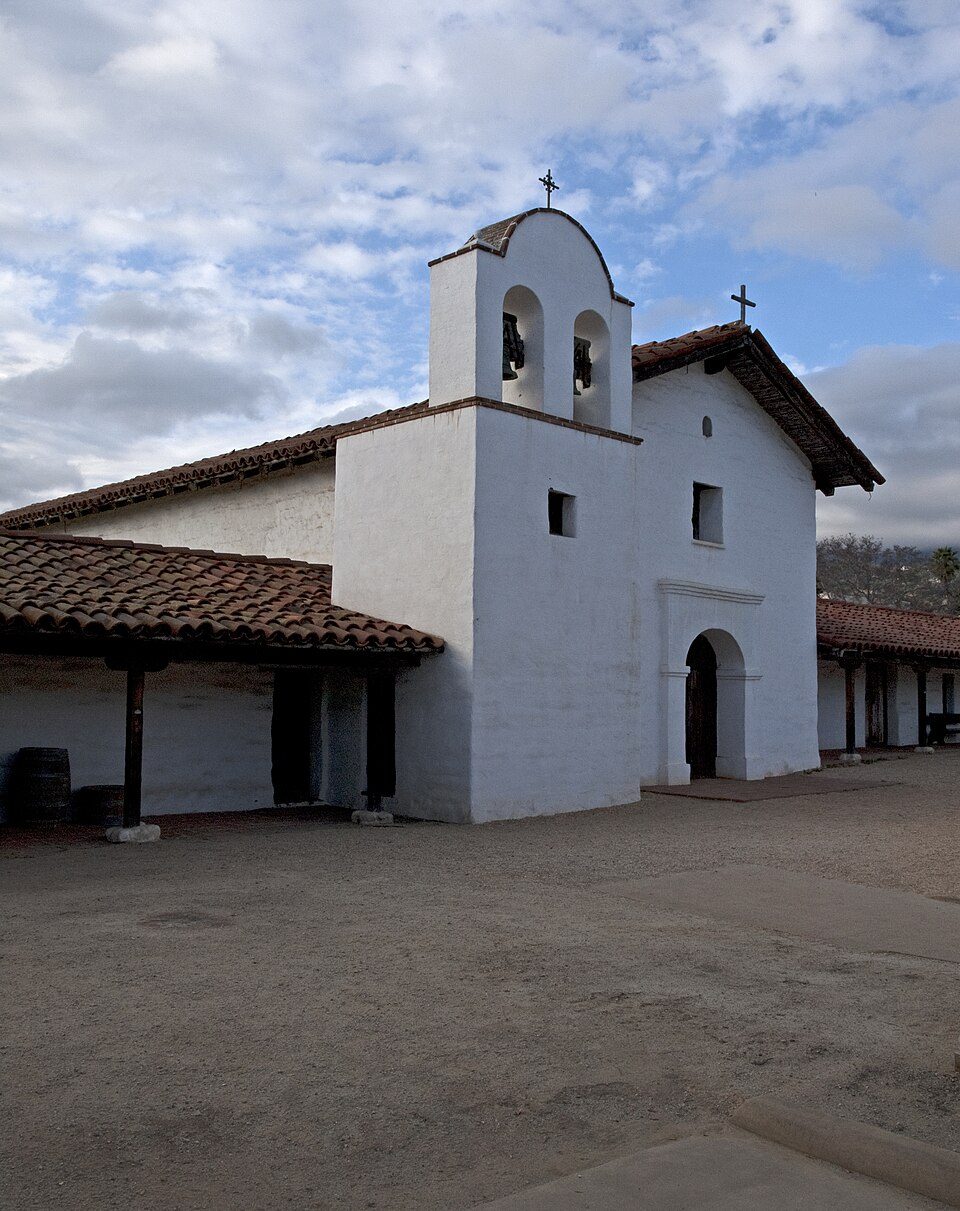 217 mi LandmarkPresidio of Santa Barbara
 69 mi BeachZuma Beach
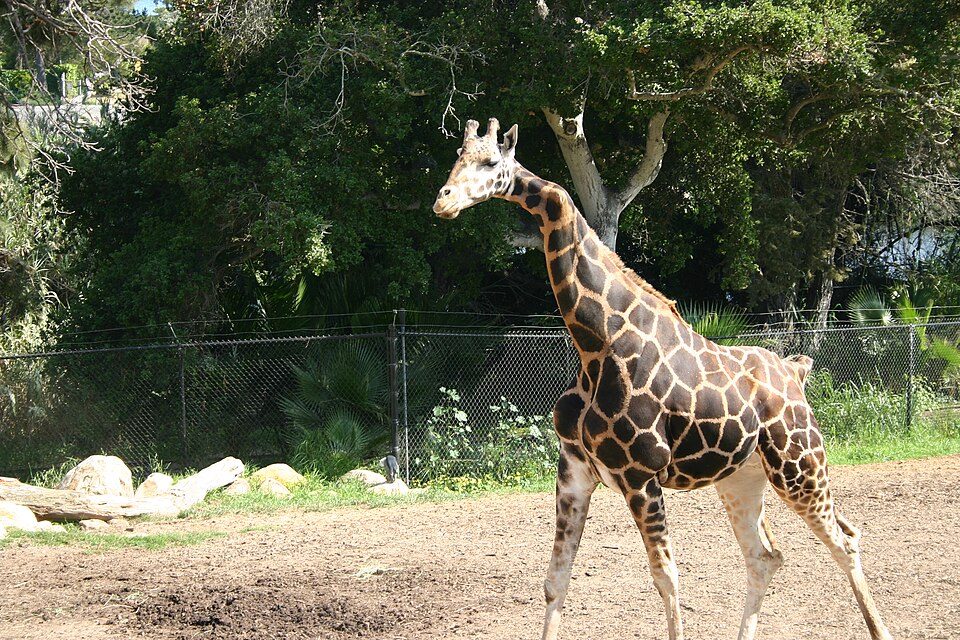 318 mi Zoo & aquariumSanta Barbara Zoo
Photo credits
Six Flags Magic Mountain: Alton, CC BY 3.0 · Ronald Reagan Presidential Library: Unknown authorUnknown author, Public domain · Lake Piru: tomsaint11, CC BY 2.0 · Channel Islands National Park: Copernicus Sentinel-2, ESA, CC BY-SA 3.0 igo · Lotusland: brewbooks from near Seattle, USA, CC BY-SA 2.0 · Presidio of Santa Barbara: Ymblanter, CC BY-SA 3.0 · Zuma Beach: Dave Parker, CC BY 3.0 · Santa Barbara Zoo: Dakart at en.wikipedia, Public domain


Before visiting Los Padres National Forest
What town is Los Padres National Forest near?
Eastern Goleta Valley, CA, about 15 miles south.
When is the best time to visit Los Padres National Forest?
January, February, March, April, May, June, July, August, September, October, November and December, with highs of 64–74°.
How far is Los Padres National Forest from Bakersfield and Los Angeles?
About 62 miles northeast of Bakersfield and about 89 miles southeast of Los Angeles, as the crow flies.
What is the closest airport to Los Padres National Forest?
Santa Barbara Municipal (SBA), about 17 miles away. The nearest big hub is Hollywood Burbank/Bob Hope (BUR), about 86 miles.
Where should I stay near Los Padres National Forest?
Santa Barbara (18 mi, 88 places to stay), Goleta (17 mi, 13 places to stay) and Solvang (23 mi, 23 places to stay).
Tips for visiting, from Eastern Goleta Valley
There are no tips yet, so start one in Eastern Goleta Valley’s Town Square.
Sources: National Park Service · ski areas © OpenSkiMap / OpenStreetMap contributors · Wikidata · Wikipedia readership · NOAA climate normals · U.S. Census.