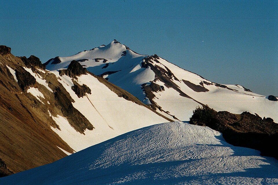
Gifford Pinchot National Forest
Gifford Pinchot National Forest is a national forest located in southern Washington, managed by the United States Forest Service. The site is 16 mi northwest of Trout Lake. Records date it to 1908.

A national forest, 16 mi northwest of Trout Lake
Plan where you’ll sleep
The nearest town with many places to stay is Trout Lake, 16 miles southeast. Where to stay ↓
A day trip from Portland
Portland is about 62 miles southwest (straight-line). Where to stay ↓
Established in 1908
Gifford Pinchot National Forest dates from 1908. About ↓
Best months: Jun, Jul, Aug and Sep
June, July, August and September are the mild months, with highs of 70–79°. When to go ↓
Written from NOAA 1991–2020 normals, Overture places to stay, Census town figures, Wikidata and Wikipedia.
When to go
Every month near Gifford Pinchot National Forest is set out below.
Gifford Pinchot National Forest
Gifford Pinchot National Forest is a national forest located in southern Washington, managed by the United States Forest Service. With an area of 1.32 million acres (5,300 km2), it extends 116 km (72 mi) along the western slopes of Cascade Range from Mount Rainier National Park to the Columbia River. The forest straddles the crest of the South Cascades of Washington State, spread out over broad old-growth forests, high mountain meadows, several glaciers, and numerous volcanic peaks. The forest's highest point is at 12,276 ft (3,742 m) at the top of Mount Adams, the second-tallest volcano in the state after Rainier. Often found abbreviated GPNF on maps and in texts, it includes the 110,000-acre (450 km2) Mount St. Helens National Volcanic Monument, established by Congress in 1982.
- Type
- National forest
- Established
- 1908
- Area
- 2,062 square miles
- Wikipedia readers
- 15K a year
Hotels and campgrounds near Gifford Pinchot National Forest
Places to stay start in Trout Lake (8) and Packwood (16).
Trout Lake
The closest town with somewhere to stay.
720 people · 24% vacation homes
16 mi southeast of Gifford Pinchot National Forest
Compare 4 towns
| Town | From Gifford Pinchot National Forest | Drive | Places to stay | People | Typical home |
|---|---|---|---|---|---|
| Trout Lake 24% vacation homes | 16 mi southeast | 25 min | 8 1 hotel · 2 inns & B&Bs · 1 lodge or cabins · 3 campgrounds · 1 RV park | 720 | $750K |
| Packwood 75% vacation homes | 29 mi north | 45 min | 16 5 hotels · 1 motel · 7 lodges & cabins · 1 campground · 2 RV parks | 99 | — |
| Cougar | 28 mi west | 40 min | 3 1 campground · 2 RV parks | 151 | — |
| Glenwood | 25 mi southeast | 40 min | 1 1 RV park | 190 | $265K |
Day trip from
Straight-line miles.
Getting there
Nearest airports with airline service
What else is near Gifford Pinchot National Forest
Places worth adding lie within 64 miles.
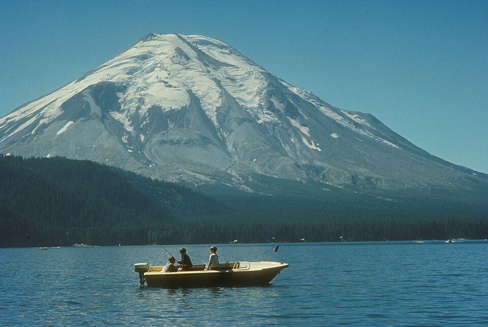 Big draw121 mi MountainMount St. Helens
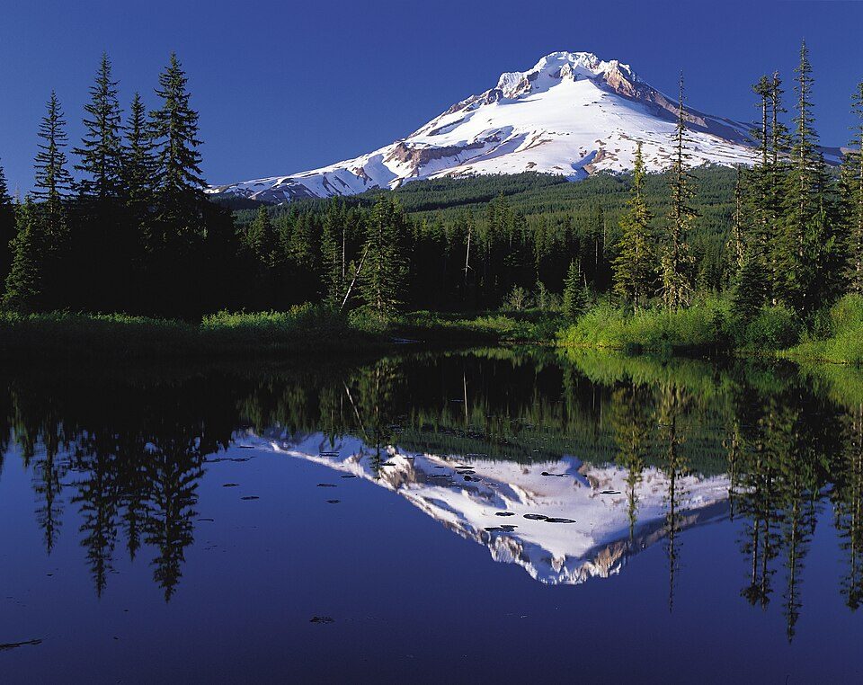 Big draw56 mi MountainMount Hood
 213 mi MountainMount Adams
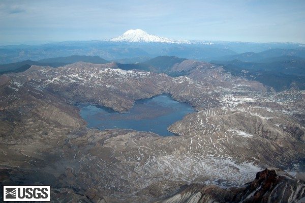 319 mi LakeSpirit Lake
 46 mi WaterfallMultnomah Falls
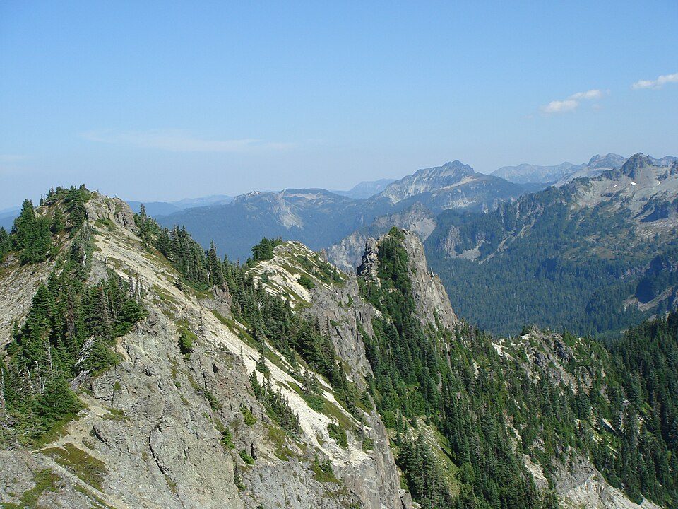 46 mi National ParkMount Rainier National Park1.6M visitors a year
 34 mi Canyon & gorgeColumbia River Gorge
 63 mi Stadium & arenaModa Center
Photo credits
Mount St. Helens: U.S. Forest Service- Pacific Northwest Region, Public domain · Mount Hood: Oregon's Mt. Hood Territory., Public domain · Mount Adams: USGS Photo by R. Iverson, USGS/CVO, Public domain · Spirit Lake: Matt Logan, Public domain · Multnomah Falls: John Fowler from Placitas, NM, USA, CC BY 2.0 · Mount Rainier National Park: Ricardo Martins from Gent, Belgium, CC BY 2.0 · Columbia River Gorge: Hux, Public domain · Moda Center: Lugnuts, CC BY-SA 3.0


What people ask about Gifford Pinchot National Forest
What town is Gifford Pinchot National Forest near?
Trout Lake, WA, about 16 miles southeast.
When is the best time to visit Gifford Pinchot National Forest?
June, July, August and September, with highs of 70–79°.
How far is Gifford Pinchot National Forest from Portland?
About 62 miles southwest of Portland, as the crow flies.
What is the closest airport to Gifford Pinchot National Forest?
Portland (PDX), about 58 miles away.
Where should I stay near Gifford Pinchot National Forest?
Trout Lake (16 mi, 8 places to stay), Packwood (29 mi, 16 places to stay) and Cougar (28 mi, 3 places to stay).
Word from Trout Lake
Start the conversation in Trout Lake’s Town Square.
Sources: National Park Service · ski areas © OpenSkiMap / OpenStreetMap contributors · Wikidata · Wikipedia readership · NOAA climate normals · U.S. Census.