
Fremont Indian State Park and Museum
Fremont Indian State Park and Museum is a state park in Utah, US, which interprets archaeological remains of the Fremont culture. Look for it 7 mi southwest of Joseph. Its story as a place to visit starts in 1987.

A museum, 7 mi southwest of Joseph
Winters are cold
January nights drop to 16°, with about 18" of snow a year. When to go ↓
Marysvale is the nearest base
Marysvale is 11 miles south, with 11 places to stay. Where to stay ↓
Best months: Jun and Sep
June and September are the mild months, with highs of 79–84°. When to go ↓
Established in 1987
Fremont Indian State Park and Museum dates from 1987. About ↓
Written from NOAA 1991–2020 normals, Overture places to stay, Census town figures, Wikidata and Wikipedia.
Choosing a month
The months below show the weather around Fremont Indian State Park and Museum.
Fremont Indian State Park and Museum
Fremont Indian State Park and Museum is a state park in Utah, US, which interprets archaeological remains of the Fremont culture. The park is located in Sevier County, Utah in the Clear Creek Canyon.
The park directly adjoins Interstate 70 as it travels up the Clear Creek Canyon, and thus is highly accessible by auto. The nearest town with full services (motels, etc.) is Richfield. There are campgrounds and RV parks in the area as well.
- Type
- Museum
- Established
- 1987
- Wikipedia readers
- 1.1K a year
A base for Fremont Indian State Park and Museum
For a bed close by, look to Marysvale (11) and Richfield (18).
Marysvale
The closest town with somewhere to stay.
485 people · 29% vacation homes
11 mi south of Fremont Indian State Park and Museum
Compare 8 towns
| Town | From Fremont Indian State Park and Museum | Drive | Places to stay | People | Typical home | Safety |
|---|---|---|---|---|---|---|
| Marysvale 29% vacation homes | 11 mi south | 15 min | 11 2 hotels · 1 motel · 2 inns & B&Bs · 1 campground · 5 RV parks | 485 | $295K | — |
| Richfield | 18 mi northeast | 25 min | 18 13 hotels · 3 motels · 1 campground · 1 RV park | 8,478 | $333K | C |
| Beaver | 27 mi southwest | 40 min | 19 14 hotels · 2 motels · 3 campgrounds | 3,699 | $280K | — |
| Joseph | 7 mi northeast | 10 min | 1 1 lodge or cabins | 310 | $243K | — |
| Fillmore | 27 mi north | 40 min | 9 4 hotels · 2 motels · 3 RV parks | 2,874 | $321K | — |
| Kanosh | 16 mi north | 25 min | 2 1 hotel · 1 motel | 511 | $324K | — |
| Monroe | 12 mi east | 20 min | 1 1 RV park | 2,738 | $318K | — |
| Central Valley | 15 mi northeast | 25 min | 1 1 hotel | 690 | $348K | — |
Getting there
Nearest airports with airline service
Other places close by
All of these are within 69 miles.
 Big draw65 mi National ParkBryce Canyon National Park2.0M visitors a year
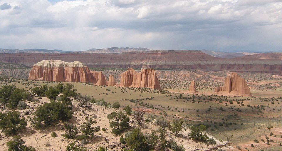 68 mi National ParkCapitol Reef National Park1.4M visitors a year
 122 mi National forestFishlake National Forest
 213 mi LandmarkCove Fort
 57 mi Scenic driveUtah State Route 12318 mi Ski areaEagle Point45 runs · 1,387 ft vertical
 54 mi National forestDixie National Forest
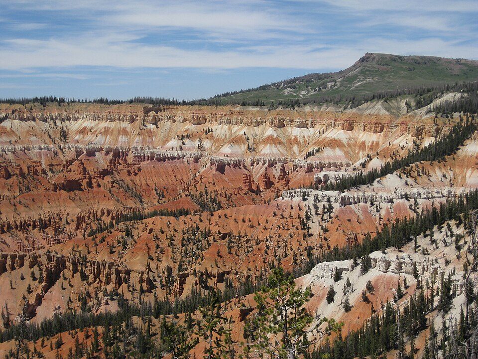 67 mi Ski areaBrian Head Resort69 runs · 1,300 ft vertical
Photo credits
Bryce Canyon National Park: Luca Galuzzi (Lucag), CC BY-SA 2.5 · Capitol Reef National Park: Bob Palin, CC BY-SA 2.5 · Fishlake National Forest: Mark Muir, Public domain · Cove Fort: inkknife_2000 (7.5 million views +), CC BY-SA 2.0 · Utah State Route 12: Christian Mehlführer, User:Chmehl, CC BY-SA 3.0 · Dixie National Forest: Joseph Cesare, CC BY 3.0 · Brian Head Resort: brewbooks from near Seattle, USA, CC BY-SA 2.0


A visit to Fremont Indian State Park and Museum: questions
What town is Fremont Indian State Park and Museum near?
Joseph, UT, about 7 miles northeast.
When is the best time to visit Fremont Indian State Park and Museum?
June and September, with highs of 79–84°.
What is the closest airport to Fremont Indian State Park and Museum?
Cedar City Regional (CDC), about 73 miles away. The nearest big hub is Salt Lake City (SLC), about 154 miles.
Where should I stay near Fremont Indian State Park and Museum?
Marysvale (11 mi, 11 places to stay), Richfield (18 mi, 18 places to stay) and Beaver (27 mi, 19 places to stay).
What locals in Joseph say
Be the first to share a tip in Joseph’s Town Square.
Sources: National Park Service · ski areas © OpenSkiMap / OpenStreetMap contributors · Wikidata · Wikipedia readership · NOAA climate normals · U.S. Census.