Eagle Point
A ski area, 10 mi southwest of Marysvale
Winters are cold
January nights drop to 17°. When to go ↓
Marysvale is the nearest base
Marysvale is 10 miles northeast, with 11 places to stay. Where to stay ↓
Written from NOAA 1991–2020 normals and Overture places to stay, Census town figures.
Weather, month by month
Typical highs and lows in Marysvale.
Where to stay near Eagle Point
The closest towns with hotels, motels or campgrounds are Marysvale (11) and Beaver (19).
Marysvale
The closest town with somewhere to stay.
485 people · 29% vacation homes
10 mi northeast of Eagle Point
Compare 6 towns
| Town | From Eagle Point | Drive | Places to stay | People | Typical home |
|---|---|---|---|---|---|
| Marysvale 29% vacation homes | 10 mi northeast | 15 min | 11 2 hotels · 1 motel · 2 inns & B&Bs · 1 campground · 5 RV parks | 485 | $295K |
| Beaver | 15 mi west | 20 min | 19 14 hotels · 2 motels · 3 campgrounds | 3,699 | $280K |
| Circleville 31% vacation homes | 12 mi southeast | 20 min | 5 2 motels · 3 RV parks | 517 | $267K |
| Junction 22% vacation homes | 10 mi southeast | 15 min | 1 1 RV park | 203 | $168K |
| Joseph | 23 mi north | 35 min | 1 1 lodge or cabins | 310 | $243K |
| Monroe | 25 mi northeast | 40 min | 1 1 RV park | 2,738 | $318K |
Getting there
Nearest airports with airline service
Also near Eagle Point
Other well-known places within 67 miles. Numbered ones are on the map above.
 Big draw48 mi National ParkBryce Canyon National Park2.0M visitors a year
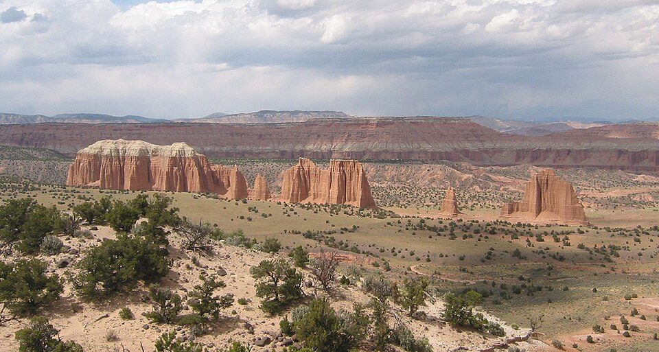 66 mi National ParkCapitol Reef National Park1.4M visitors a year
 35 mi National forestFishlake National Forest
 122 mi LandmarkCove Fort
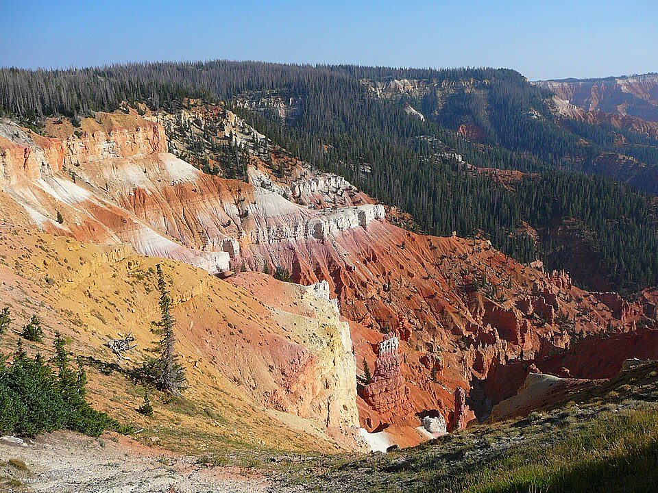 54 mi National MonumentCedar Breaks National Monument718K visitors a year
 53 mi Scenic driveUtah State Route 12
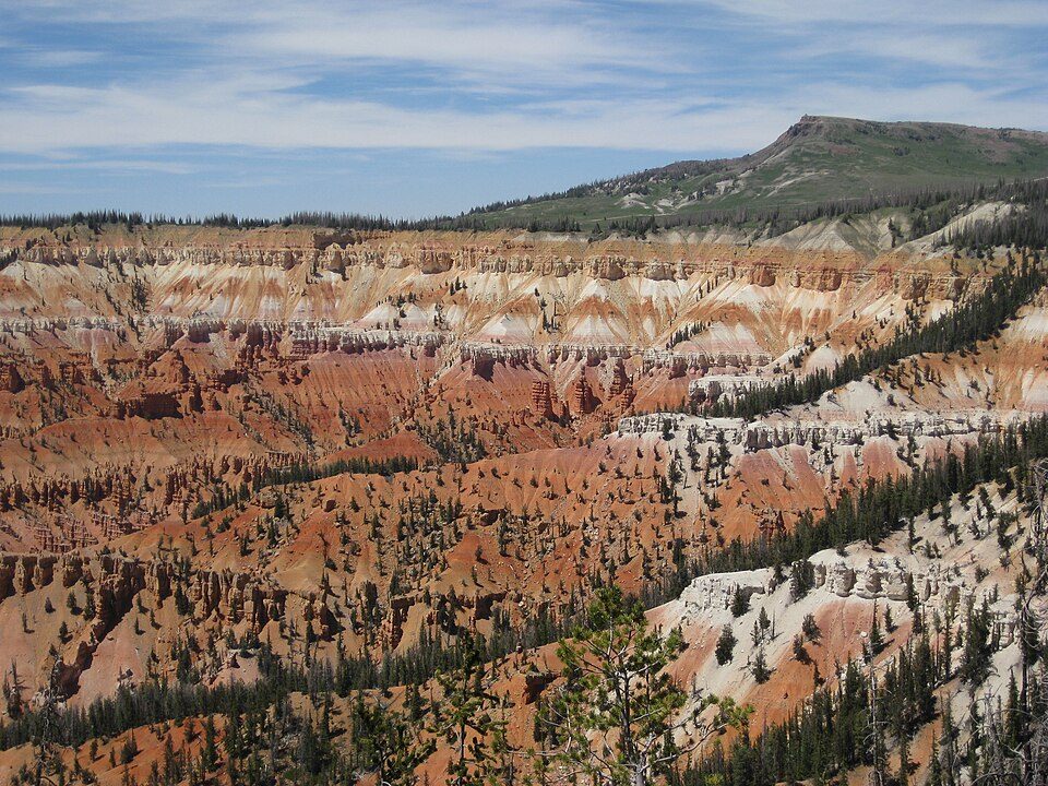 51 mi Ski areaBrian Head Resort69 runs · 1,300 ft vertical
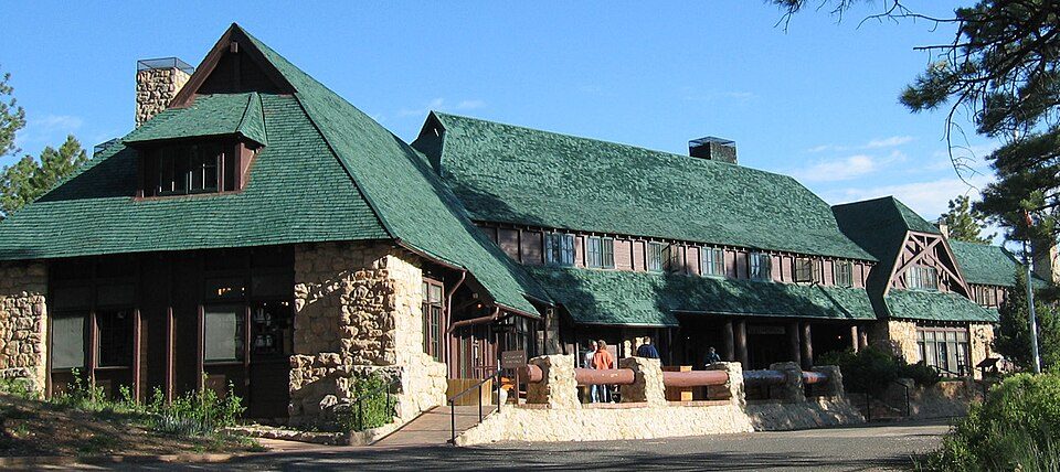 49 mi AttractionBryce Canyon Lodge
Photo credits
Bryce Canyon National Park: Luca Galuzzi (Lucag), CC BY-SA 2.5 · Capitol Reef National Park: Bob Palin, CC BY-SA 2.5 · Fishlake National Forest: Mark Muir, Public domain · Cove Fort: inkknife_2000 (7.5 million views +), CC BY-SA 2.0 · Cedar Breaks National Monument: Original uploader was Averette at en.wikipedia, CC BY 3.0 · Utah State Route 12: Christian Mehlführer, User:Chmehl, CC BY-SA 3.0 · Brian Head Resort: brewbooks from near Seattle, USA, CC BY-SA 2.0 · Bryce Canyon Lodge: Unknown, Public domain


Visiting Eagle Point
What town is Eagle Point near?
Marysvale, UT, about 10 miles northeast.
What is the closest airport to Eagle Point?
Cedar City Regional (CDC), about 58 miles away. The nearest big hub is Salt Lake City (SLC), about 172 miles.
Where should I stay near Eagle Point?
Marysvale (10 mi, 11 places to stay), Beaver (15 mi, 19 places to stay) and Circleville (12 mi, 5 places to stay).
Tips from people in Marysvale
No tips yet. Ask, or answer, in Marysvale’s Town Square.
Sources: National Park Service · ski areas © OpenSkiMap / OpenStreetMap contributors · Wikidata · Wikipedia readership · NOAA climate normals · U.S. Census.