Nothing mapped in Hatfield itself; Ouachita National Forest is the nearest draw
Our list finds nothing inside Hatfield, but 3 places within 40 miles. They include a national forest, a garden and a city park. A longer outing takes you to Crater of Diamonds State Park, 51 mi off.
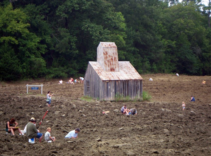
Crater of Diamonds State Park
Public diamond mine.
The towns around it, and where to stay →
Plotted on the map
The map ends at Kerr Arboretum and Botanical Area, 20 mi out.
Orange: Hatfield. Numbers: the best-known places, matching the list below. © OpenStreetMap contributors
Every one of them
Each of the 6 is within 60 miles.
 2
 3
 4
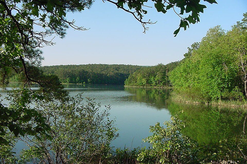
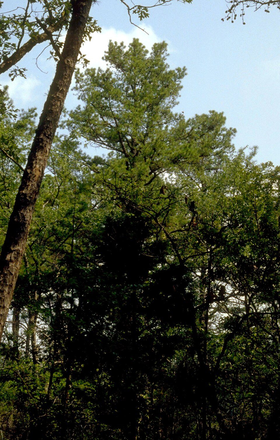
Ozark–St. Francis National Forest
United States National Forest located in the state of Arkansas.
Kerr Arboretum and Botanical Area
Botanical garden in Oklahoma, United States.
 6
Ranked by how many people look them up, so the famous places lead and the local favorites follow.
Parks and trails in Hatfield → · Hatfield’s history →
Photo credits
Crater of Diamonds State Park: Doug Wertman from Rogers, AR, USA, CC BY 2.0 · Spiro Mounds: Herb Roe Original uploader was Heironymous Rowe at en.wikipedia, CC BY-SA 3.0 · Ouachita National Forest: U.S. Forest Service, Public domain · Ozark–St. Francis National Forest: Paul A. Mistretta, USDA Forest Service, CC BY 3.0 us · Janssen Park: Valis55, CC BY-SA 3.0


