128 years in pictures
Census counts: 390 in 1910, a peak of 540 in 1950, 231 in 2020. The archive holds 14 old photos and papers going back to 2004 and 3 maps from 1922 on.
- 1898Durbin is settled
Each edition grades its towns against each other only.

A town of 246, settled in 1898.
Durbin’s median age is 55.2 years, above both West Virginia’s towns (42.2 years) and U.S. towns (40.5 years). Of the 62 West Virginia towns we compare, none has a lower midsummer high than Durbin. 17% of the land in Durbin is conserved, against 2.5% in West Virginia’s towns and 4.3% across U.S. towns. The biggest park or preserve is Little River Wildlife Management Area, at 64 acres. Durbin has fewer than 1,000 residents, too few for fair grades; the figures below are still real.
In a town this size, neighbors are the best guide. Ask them anything.
Census counts: 390 in 1910, a peak of 540 in 1950, 231 in 2020. The archive holds 14 old photos and papers going back to 2004 and 3 maps from 1922 on.
Who provides power, water and the rest in Durbin, and how to reach them.
EPA SDWIS (Oct 9, 2026) · HIFLD + EIA-861 2025 · Census 2020 ZCTAs · NCES 2024–25 · registration: vote.gov, updated Aug 3, 2026.
Ordered by what stands out in Durbin.
For Durbin, the typical journey to work is 15 minutes. Most people who work leave Durbin to do it: just 2% work in town. Also worth knowing: 14% of Durbin residents live below the poverty line. The top destinations are Cass (7%), Bartow (4%) and Charleston (3%).
| Durbin | West Virginia towns | U.S. towns | |
|---|---|---|---|
| Average trip to work | 15 minutes | 21 minutes | 25 minutes |
| Working residents who work in town | 2.2% | 14% | 8% |
| Below the poverty line | 14% | 16% | 9.6% |
Census LEHD 2023 · ACS
Over the 12 months to September 2026, the typical home lost 2.6% of its value. For households in Durbin, the share who own their home is 81%.
Census ACS, 2020–24 · Zillow Home Value Index · Redfin Data Center
0.4 miles of trail wind through 2 parks and preserves. Durbin’s density of trails comes in at 0.7 miles per square mile.
| Biggest places to walk | Trails | Acres |
|---|---|---|
| 1. Little River Wildlife Management Area | 0.2 mi | 64 |
| 2. Monongahela National Forest | — | 64 |
Trails & parks © OpenStreetMap contributors · Conserved land: USGS PAD-US
The range runs from 19° on a January night to 78° on a July afternoon, with about 67 inches of snow a winter.
NOAA U.S. Climate Normals, 1991–2020
Compared with 65% of U.S. communities, expected storm and flood damage in Durbin is higher. Federal aid has come to Durbin households in 2 declared disasters; the latest was in 2016. Of the losses FEMA expects locally, 78% come from inland flooding and 13% from cold waves. The national flood insurance program has paid 3 claims here since 1985.
FEMA disaster declarations and aid · FEMA flood insurance claims · FEMA National Risk Index · OpenFEMA
The share of adults in Durbin who have obesity: 39%. Among adults here, 47% have high blood pressure and 36% get no exercise outside work.
| Durbin | West Virginia towns | U.S. towns | |
|---|---|---|---|
| Frequent physical distress (CDC PLACES) | 19% | 17% | 14% |
| High blood pressure (CDC PLACES) | 47% | 44% | 35% |
| Get no exercise (CDC PLACES) | 36% | 32% | 25% |
| Fair or poor health (CDC PLACES) | 28% | 24% | 19% |
| What stands out | Durbin | WV |
|---|---|---|
| More adults with heart disease | 10.1% | 8.7% |
| More adults who have had cancer | 11% | 9.6% |
CDC PLACES 2025 · modeled estimates for adults · CMS · HRSA
Museums, parks, gardens and other places to visit around Durbin. Close and well known come first.
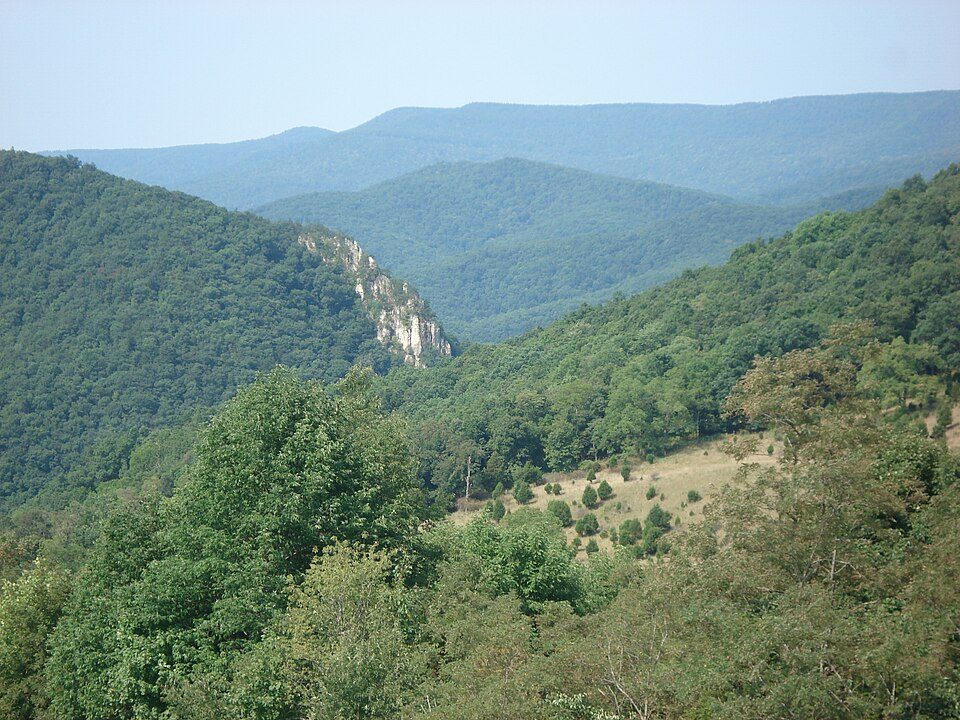
4 mi National forestMonongahela National Forest
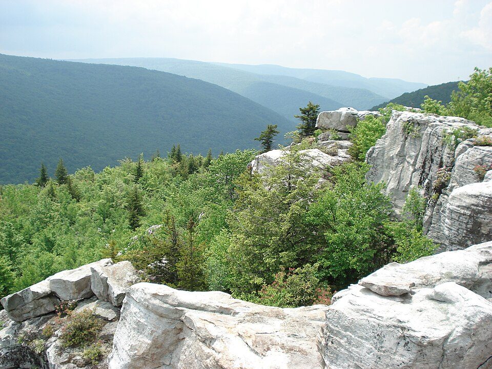
40 mi Park & preserveDolly Sods Wilderness
11 mi Scenic railwayCass Scenic Railroad State Park
23 mi MountainSpruce Mountain29 mi CaveHellhole12 mi Ski areaSnowshoe Mountain65 runs · 1,563 ft verticalMonongahela National Forest: Valerius Tygart, CC BY-SA 3.0 · Dolly Sods Wilderness: Valerius Tygart, CC BY-SA 3.0 · Cass Scenic Railroad State Park: Shayfan at English Wikipedia, Public domain · Spruce Mountain: Valerius Tygart, CC BY-SA 3.0
None within 15 miles of Durbin; the nearest are
About 3 of every 100 Durbin residents are enrolled in college, against 5 across West Virginia.
Where Durbin’s working residents go each day. Line width shows the share.
Census LEHD 2023
Town in West Virginia, United States
Durbin is a town in Pocahontas County, West Virginia, United States. The population was 235 at the 2020 census. The town was named in 1895 in honor of Charles R. Durbin Sr, the Grafton, WV bank official responsible for lending funds to John T. McGraw to purchase the site of the town in 1890.
From Wikipedia, licensed CC BY-SA 4.0 · facts via Wikidata (CC0)
Short answers, built from the data on this page.
Durbin has fewer than 1,000 residents, too few for fair grades; the figures below are still real.