Every edition of the U.S. Geological Survey’s map of Washington. Tap a year, or press play to watch the town change.
1920Monroe sheet · 1:62,500
U.S. Geological Survey historical topographic maps (public domain), via Esri’s collection of the scans. The red ring marks the center of Washington.
The story so far
Washington, in brief
Wikipedia doesn’t have a history of Washington yet. The photos, dates and memories neighbors add here are how it gets written.
Washington is a town in Green County, Wisconsin, United States. The population was 842 at the 2020 census. The unincorporated community of Schultz is located partially in the town.
Between the 2010 and 2020 censuses its population grew from 809 to 842 (+4%).
Intro from Wikipedia. Population: U.S. Census Bureau.
From the old history books
What they wrote about Washington in 1881
Passages that mention Washington, cut from the printed page as they were published.
History of Washington and Ozaukee counties, Wisconsin, containing an account of its settlement, growth, development and resources ... biographical sketches, portraits of prominent men and early settlers1881 · page 343Read the page →
Read the text
Sec. 7. The liabilities or indebtedness of the present county of Washington shall be paid, satisfied and discharged ratably by said county of Washington and county of Ozaukee, according to the last assessment of Washington County, except so far as the county of Washington shall have a fund, which shall be used in discharge of said indebtedness ; and in case there is a county fund on hand, or real or personal property now owned by said county of Washington, the same shall be divided between the said counties at the same rates as for the discharge of indebtedness. The Board of Supervisors of either county shall have power to audit claims for which both counties are liable.
Text read by machine from the scan; it may contain errors.
History of Washington and Ozaukee counties, Wisconsin, containing an account of its settlement, growth, development and resources ... biographical sketches, portraits of prominent men and early settlers1881 · page 335Read the page →
Read the text
Port Washington for five years. The act was passed January 25, 1847, and its provisions were as follows : Section 1. That for the term of five years from and after the passage of this act. the seat of justice of the county of Washington shall be established at the village of Washington, on Section 28, Township 11, Range 22 east ; and all district courts to be held in and for said county, during said time, shall be held at the public schoolhouse in said village, until some other and more suitable place shall be provided for that purpose.
Text read by machine from the scan; it may contain errors.
Scans and text from the Internet Archive. Books published in 1930 or earlier, which are in the public domain.
Timeline
Washington, 1862 to 1920
Woven from the archive, old maps, post office records, the National Register and the people born here.
Founding dates: Wikidata, Wikipedia, the U.S. post office records of Blevins & Helbock (CC0) and the Census. Homes by year built: Census ACS 2020–24. National Register of Historic Places: National Park Service (list of May 22, 2026). Old photos, postcards and papers: Wikimedia Commons, the Library of Congress and other public archives, credited on each item’s page. Maps: U.S. Geological Survey historical topographic maps (via Esri) and Sanborn fire-insurance maps (Library of Congress). History text and census tables: Wikipedia (CC BY-SA 4.0). Places that used to be: USGS Geographic Names Information System (2021). How TownRatings grades history →
From Wikimedia Commons (4), Wikidata (2), the National Register of Historic Places (2), U.S. Geological Survey historical maps, the US Post Offices dataset (Blevins & Helbock), the USGS Geographic Names Information System and old county and town histories (Internet Archive). Archive images are copied here with their credits and licenses, shown on each photo’s page. Refreshed monthly.
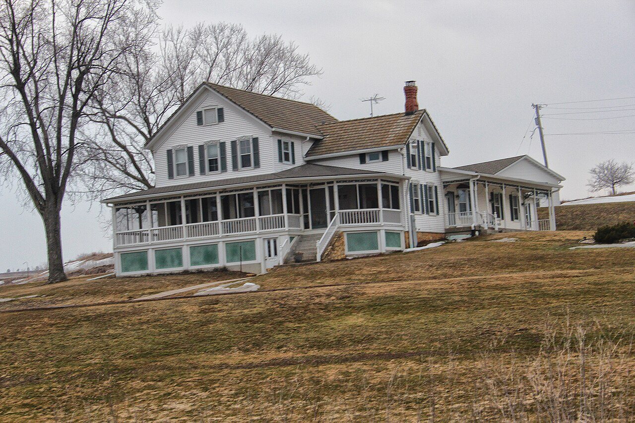



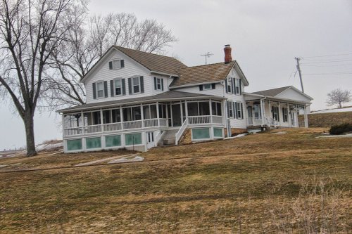
 2013
 2013
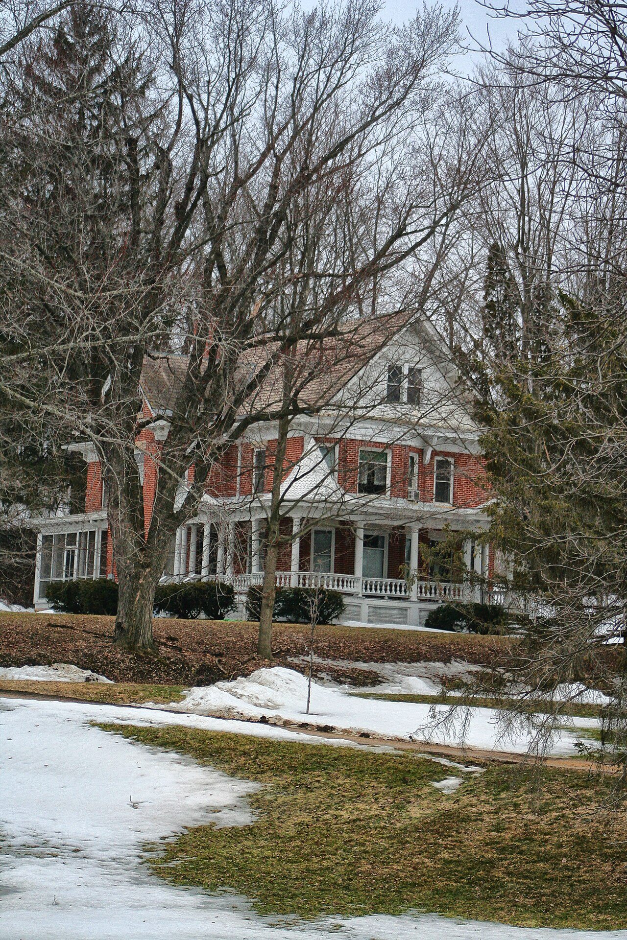
 2013
 2013