Wikipedia doesn’t have a history of Union yet. The photos, dates and memories neighbors add here are how it gets written.
Union is a town in Vernon County, Wisconsin, United States. The population was 809 at the 2020 census. The unincorporated community of White City is located in the town.
Between the 2010 and 2020 censuses its population grew from 700 to 809 (+16%).
Intro from Wikipedia. Population: U.S. Census Bureau.
From the old history books
What they wrote about Union, 1888–1890
Passages that mention Union, cut from the printed page as they were published.
Soldiers and citizens' album of biographical record [of Wisconsin] containing personal sketches of army men and citizens prominent in loyalty to the Union. Also a chronological and statistical history of the civil war and a history of the Grand Army of th1890 · page 48Read the page →
Read the text
Sept. 10.— At Fayette C. H., W. Va., 5,000 rebels attacked the Union garrison, who cut their way through and escaped, losing 100 in killed and wounded.— Gauley Bridge, Va., was evacuated by the Union troops. — The gunboat Essex bombarded Natchez in retaliation for having ])een fired into and the city surrendered.
Text read by machine from the scan; it may contain errors.
Soldiers' and citizens' album of biographical record [of Wisconsin] containing personal sketches of army men and citizens prominent in loyalty to the Union1888 · page 58Read the page →
Read the text
129 Union soldiers were killed and 831 wounded. The rebel loss was estimated at 5,500. — At Mill Creek, Tenn., Wheeler's cavalry destroyed the railroad bridge and captured a squad of Union soldiers.— The Ilatteras was sunk off the coast of Texas by the Alabama.
Text read by machine from the scan; it may contain errors.
Soldiers and citizens' album of biographical record [of Wisconsin] containing personal sketches of army men and citizens prominent in loyalty to the Union. Also a chronological and statistical history of the civil war and a history of the Grand Army of th1890 · page 686Read the page →
Read the text
operated until he entered the service of the Government during the war. In the fall of 1863 he engaged as a bridge builder in Tennessee along the line of operations of the Union troops there stationed. After his contract was completed he returned to Racine and, in the fall, enlisted in Company K, 1st Wisconsin Heavy Artillery and went with his command
Text read by machine from the scan; it may contain errors.
Scans and text from the Internet Archive. Books published in 1930 or earlier, which are in the public domain.
By decade
No old photos in the archives yet
Weddings on Main Street, storms, parades, school pictures, the old store. If it’s in your family album, it belongs here.
Be the first to add onePhotograph a print flat, in daylight, no flash.
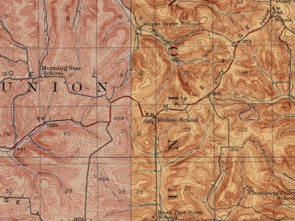
Founding dates: Wikidata, Wikipedia, the U.S. post office records of Blevins & Helbock (CC0) and the Census. Homes by year built: Census ACS 2020–24. National Register of Historic Places: National Park Service (list of May 22, 2026). Old photos, postcards and papers: Wikimedia Commons, the Library of Congress and other public archives, credited on each item’s page. Maps: U.S. Geological Survey historical topographic maps (via Esri) and Sanborn fire-insurance maps (Library of Congress). History text and census tables: Wikipedia (CC BY-SA 4.0). Places that used to be: USGS Geographic Names Information System (2021). How TownRatings grades history →
From U.S. Geological Survey historical maps, the USGS Geographic Names Information System and old county and town histories (Internet Archive). Archive images are copied here with their credits and licenses, shown on each photo’s page. Refreshed monthly.
![Sept. 10.— At Fayette C. H., W. Va., 5,000 rebels attacked the Union garrison, who cut their way through and escaped, losing 100 in killed and wounded.— Gauley Bridge, Va., was evacuated by the Union troops. — The gunboat Essex bombarded Natchez in retaliation for having ])een fired into and the ci…](https://images.townratings.com/story/35605/bk-5406e55bcfdb1c64-l.jpg)