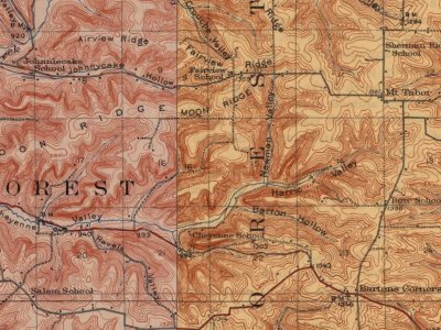
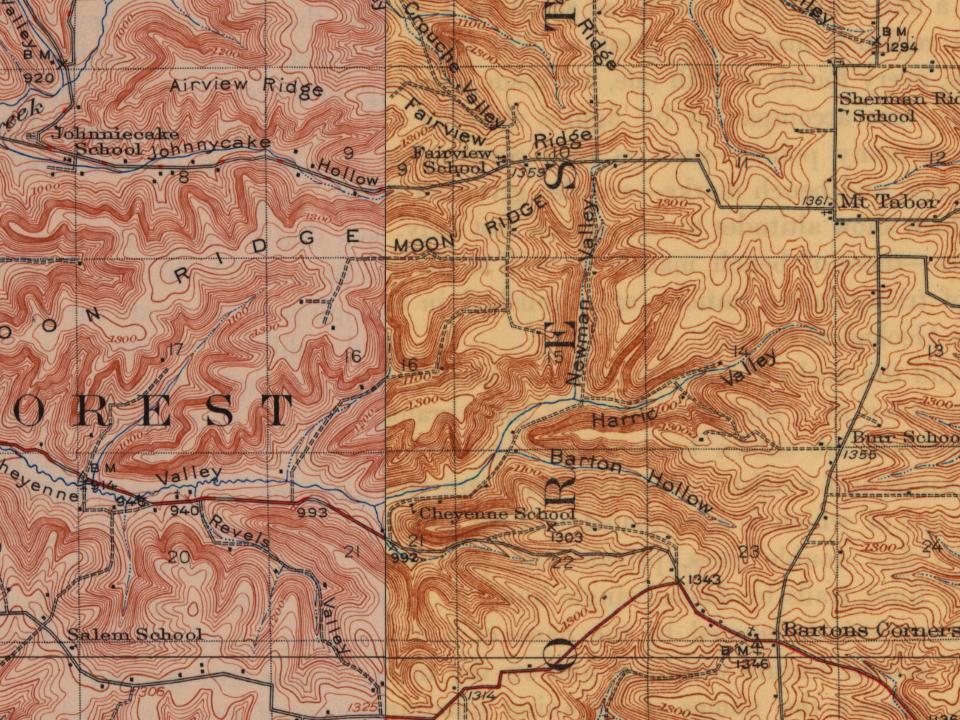
Billings CreekFairviewForest - BurrMount TaborRevelsSaint Joseph
US Post Offices dataset (Blevins & Helbock, CC0). Places and cemeteries from the USGS Geographic Names Information System (2021).
The story so far
Forest, in brief
Wikipedia doesn’t have a history of Forest yet. The photos, dates and memories neighbors add here are how it gets written.
Forest is a town in Vernon County, Wisconsin, United States. The population was 617 at the 2020 census. The unincorporated communities of Dilly, Mount Tabor, and Valley are in the town. One of the earliest Black settlers in Forest was Wesley Barton (when the area was formerly known as Cheyenne Valley).
Between the 2010 and 2020 censuses its population fell from 634 to 617 (-3%).
Intro from Wikipedia. Population: U.S. Census Bureau.
From the old history books
What they wrote about Forest in 1884
Passages that mention Forest, cut from the printed page as they were published.
John Revels was but a boy of ten years when his father came into the town of Forest, in 1855. He was a native Hoosier, and born in Orange Co., Ind., in 1845. He grew up to manhood in the town of Forest, and has always made this his home. He has been engaged in agricultural pursuits through life, and now owns forty acres of land on section 6. In
Text read by machine from the scan; it may contain errors.
John Lathrop, one the prospering farmers of the town of Forest, was born in Cambridge, Vt., in 1838. He there resided until 1863, when he went to Franklin Co., Vt., where he engaged in farming for five years. In 1808 he came to the town of Forest, and purchased eighty acres of land on section 22, which farm he has increased to 200 acres. Mr. Lathrop was mar-
Text read by machine from the scan; it may contain errors.
Scans and text from the Internet Archive. Books published in 1930 or earlier, which are in the public domain.
Timeline
Forest, 1856 to 1953
Woven from the archive, old maps, post office records, the National Register and the people born here.
Founding dates: Wikidata, Wikipedia, the U.S. post office records of Blevins & Helbock (CC0) and the Census. Homes by year built: Census ACS 2020–24. National Register of Historic Places: National Park Service (list of May 22, 2026). Old photos, postcards and papers: Wikimedia Commons, the Library of Congress and other public archives, credited on each item’s page. Maps: U.S. Geological Survey historical topographic maps (via Esri) and Sanborn fire-insurance maps (Library of Congress). History text and census tables: Wikipedia (CC BY-SA 4.0). Places that used to be: USGS Geographic Names Information System (2021). How TownRatings grades history →
From the National Register of Historic Places (1), U.S. Geological Survey historical maps, the US Post Offices dataset (Blevins & Helbock), the USGS Geographic Names Information System and old county and town histories (Internet Archive). Archive images are copied here with their credits and licenses, shown on each photo’s page. Refreshed monthly.