

The story so far
Clinton, in brief
Wikipedia doesn’t have a history of Clinton yet. The photos, dates and memories neighbors add here are how it gets written.
Between the 2010 and 2020 censuses its population fell from 930 to 889 (-4%).
Each edition grades its towns against each other only.
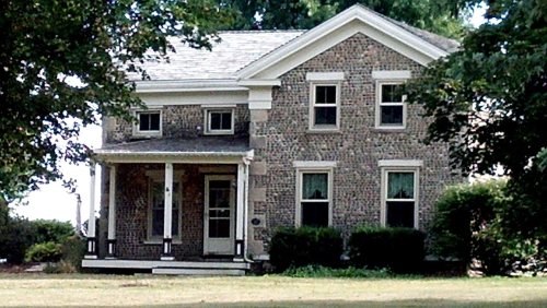
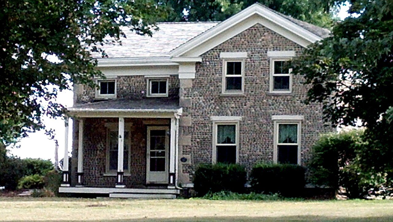
Its Register listing is the Jones, Samuel S., Cobblestone House. Below: maps from 1893 on and old-book passages.
Read from the archive, the National Register and the record. The page puts what stands out first.
The first neighbors to add old photos shape how Clinton’s history is told.
Every edition of the U.S. Geological Survey’s map of Clinton. Tap a year, or press play to watch the town change.

U.S. Geological Survey historical topographic maps (public domain), via Esri’s collection of the scans. The red ring marks the center of Clinton.
Fire insurance maps drew every building, what it was made of and what it was used for, so insurers could price the risk of fire. Pick a year, then a sheet.
 1894Sheet 1 of 2
Sanborn Map Company, via the Library of Congress. Editions published in 1930 or earlier, which are in the public domain.
Wikipedia doesn’t have a history of Clinton yet. The photos, dates and memories neighbors add here are how it gets written.
Between the 2010 and 2020 censuses its population fell from 930 to 889 (-4%).
Passages that mention Clinton, cut from the printed page as they were published.

M. G. WEAVER, farmer, Sec. 8; P. 0. Clinton; born in Clinton July 9, 1842; son of Griswold Weaver, who came to Clinton in 1837, from Utica, N. Y.; settled on what is now the northwest part of the town of Clinton ; he was one of the founders of that town ; he kept hotel at Clinton Corners ; .was there till the railroad was built, then moved to Clinton proper and went into lumber business and buyinj; grain ; was successful ; he died December, 1872 ; was one of the most respected and liberal of citizens.
Text read by machine from the scan; it may contain errors.
The village of Clinton in the town of Clinton became incorporated on January 21, 1882, under the general statutes. The village of Orfordville in the town of Spring Valley became incorporated on June 30, 1900, under the general statutes.
Text read by machine from the scan; it may contain errors.
provided that eleven square miles of the territory of Warren county lying upon the eastern boundary of the county of Warren, and extending parallel to the said eastern boundary line along the whole length of it from north to south, should be and the same were attached to and made a part of the county of Clinton; and it was made the duty of the surveyor of Ross county, within thirty days after being notified by the commissioners of Clinton county, to proceed and survey and set off to the county of Clinton the eieveu square miles as aforesaid, by running a straight line from north to south through the county of Warren, parallel to the eastern boundary thereof, a strip about
Text read by machine from the scan; it may contain errors.
12S. Tor the benefit of the readers, the following description is given: "State of Ohio. Clinton County, ss. : "('IF,. S. I. He It remembered that before me, the subscriber, one of the Justices of the Peace in and for the county of Clinton, personally appeared James McMauis, Director for Clinton County, and proprietor of the land contained within tbe bounds of the lown of Clinton, as conveyed to said James McManls in trust for the use and behoof of said county, and produced the within plat, which he acknowledged to be an accurate plat of said town of Clinton, and that Nos. 58 and 73 (as marked
Text read by machine from the scan; it may contain errors.Scans and text from the Internet Archive. Books published in 1930 or earlier, which are in the public domain.
Woven from the archive, old maps, post office records, the National Register and the people born here.
 On the mapFirst mapped by the U.S. Geological Survey
Weddings on Main Street, storms, parades, school pictures, the old store. If it’s in your family album, it belongs here.
The country’s official list of buildings and places worth saving.
National Park Service, National Register of Historic Places. Photos from Wikimedia Commons, credited on each place’s page.
Nobody well known was born in Clinton itself, so here are the best known from just nearby.


Another post office, Bergen, opened and closed inside today’s town.
US Post Offices dataset (Blevins & Helbock, CC0). Places and cemeteries from the USGS Geographic Names Information System (2021).
Each neighbor’s History grade, on the same three inputs.
One place: the Jones, Samuel S., Cobblestone House (listed 1978).
What the archives can’t tell you, neighbors can.
Founding dates: Wikidata, Wikipedia, the U.S. post office records of Blevins & Helbock (CC0) and the Census. Homes by year built: Census ACS 2020–24. National Register of Historic Places: National Park Service (list of May 22, 2026). Old photos, postcards and papers: Wikimedia Commons, the Library of Congress and other public archives, credited on each item’s page. Maps: U.S. Geological Survey historical topographic maps (via Esri) and Sanborn fire-insurance maps (Library of Congress). History text and census tables: Wikipedia (CC BY-SA 4.0). Places that used to be: USGS Geographic Names Information System (2021). How TownRatings grades history →
From the National Register of Historic Places (1), U.S. Geological Survey historical maps, the US Post Offices dataset (Blevins & Helbock), the USGS Geographic Names Information System, Sanborn fire insurance maps (Library of Congress) and old county and town histories (Internet Archive). Archive images are copied here with their credits and licenses, shown on each photo’s page. Refreshed monthly.