On its age, its old homes and the National Register, Bradford is more historic than 92% of U.S. towns. All 2 inputs are above most U.S. towns; its National Register listings ranks highest and its share of homes from before 1940 lowest.
A
HistoryA character grade: shown, never part of Bradford’s overall grade.
Wisconsin towns list more on the Register than most of the country (a typical Wisconsin town has 3.0 per 10,000 residents, the U.S. 2.4), so Bradford’s 123 sits above most of its state (96% of Wisconsin towns have fewer) while its 11 historic buildings outnumber those of 76% of U.S. towns.
How sure. Graded on two of the three inputs, so a change in either one moves the letter more than it would with three. The pre-1940 share is a Census survey estimate (±3.8 points).
Founding year: our sources. Homes: Census ACS 2020–24. National Register: National Park Service, May 2026 list; each listing counted once (boundary changes and added documentation belong to their listing), and a historic district counts its contributing buildings. How TownRatings grades history →
What stands out about Bradford’s past
Read from the archive, the National Register and the record. The page puts what stands out first.
Every edition of the U.S. Geological Survey’s map of Bradford. Tap a year, or press play to watch the town change.
1893Shopiere sheet · 1:62,500
U.S. Geological Survey historical topographic maps (public domain), via Esri’s collection of the scans. The red ring marks the center of Bradford.
Places that used to be
Lost post offices, old corners and burying grounds
Another post office, Emerald Grove, opened and closed inside today’s town.
Emerald Grove
1846–1903
Avalon
1901–today
18401930today
Hamlets and corners on the map
AvalonEmerald GroveFairfield
3cemeteries and burying grounds inside Bradford
BradfordEmerald GroveMount Phillips
US Post Offices dataset (Blevins & Helbock, CC0). Places and cemeteries from the USGS Geographic Names Information System (2021).
The story so far
Bradford, in brief
Wikipedia doesn’t have a history of Bradford yet. The photos, dates and memories neighbors add here are how it gets written.
The Town of Bradford is located in Rock County, Wisconsin, United States. The population was 1,013 at the 2020 census. The unincorporated communities of Avalon and Emerald Grove are located within the town. The unincorporated community of Fairfield is also located partially in the town. The town was named by William C. Chase, one of the original settlers, for his birthplace in Orange County, Vermont.
Between the 2010 and 2020 censuses its population fell from 1,121 to 1,013 (-10%).
Intro from Wikipedia. Population: U.S. Census Bureau.
From the old history books
What they wrote about Bradford, 1879–1908
Passages that mention Bradford, cut from the printed page as they were published.
The history of Rock County, Wisconsin1879 · page 675Read the page →
Read the text
This village, so called from that gem of the prairie, " Emerald Grove," is located on the south part of Section 6, in the town of Bradford. In 1856, it contained " one post office, one tavern, one church, one blacksmith-shop, one store, one grocery, one schoolhouse and' fifteen dwellings." Since this early date, the village has considerably increased. It is a thriving place, eight miles from Janesville, has a good hotel, a harness-shop, a general store, two blacksmithshops, a shoemaker's shop and a few other establishments.
Text read by machine from the scan; it may contain errors.
The history of Rock County, Wisconsin1879 · page 513Read the page →
Read the text
This town is bounded on the north by the town of Lima, east by Walworth County, south by the town of Bradford and west by the town of Harmony. Sections 30 to 36 inclusive, and the half of Sections 19 to 24 inclusive, are in Rock Prairie, near the northeast corner of it, while the remaining sections are what are called " openings." The difference in soil between the two portions is bo strongly marked that it can readily be observed even where the land is under cultivation. As early as 1856, this town numbered many enterprising farmers ; on'the list, among others, were William Galbraith, John McGrath and brothers, Robert Barlass, John and William Zuill, John Wynn, David and John McLay.
Text read by machine from the scan; it may contain errors.
Beloit, Newark, Avon, Spring Valley and Plymouth has always been designated as "Rock Prairie"; this should not be confounded with the Rock Prairie that lies in Harmony, Johnstown and Bradford and La Prairie.) The first of these was the Rev. J. W. C. Dietrichson (11) who landed at Milwaukee August 5, 1844, and came to the Koshkonong settlement in Dane county, Wisconsin, on the last days of August, same year. His first sermon preached at Koshkonong
Text read by machine from the scan; it may contain errors.
Scans and text from the Internet Archive. Books published in 1930 or earlier, which are in the public domain.
Timeline
Bradford, 1846 to 1903
Woven from the archive, old maps, post office records, the National Register and the people born here.
Bradford is more historic than 92% of U.S. towns. The History grade combines the town’s founding era, the share of homes built before 1940 and its National Register listings. It’s a character grade, so it isn’t part of the overall grade. How it works.
What is on the National Register in Bradford?
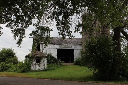
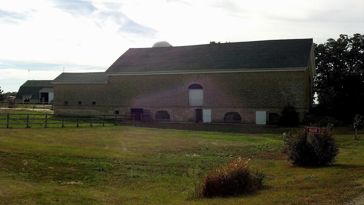
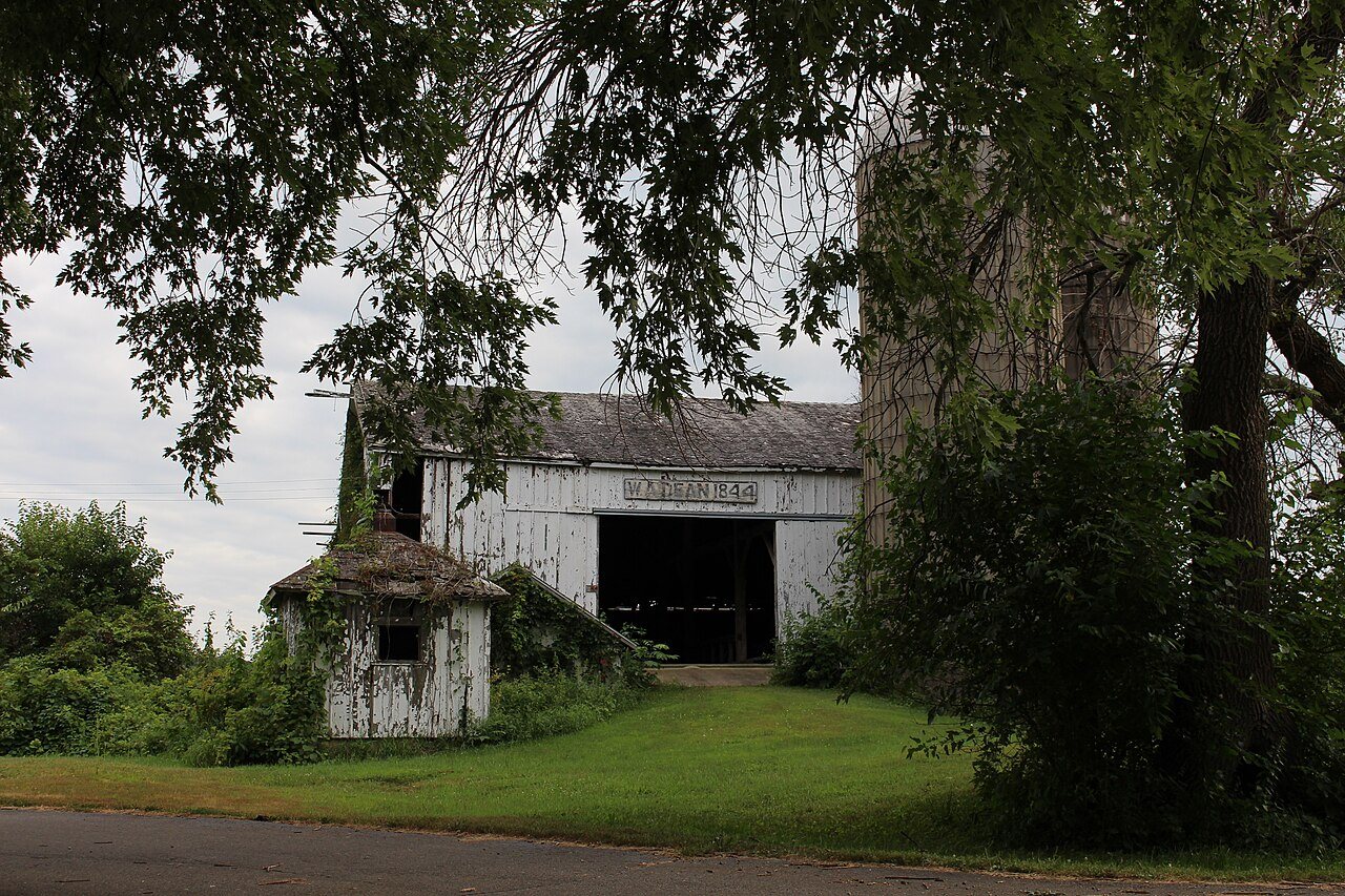
Two places: the Wyman-Rye Farmstead (listed 1977) and the Erastus Dean Farmstead (1978).
How old are the homes in Bradford?
22% of Bradford’s homes were built before 1940 (Census estimate, ±3.8 points), against a typical 12% for a Wisconsin town; the median home was built in 1970.
Founding dates: Wikidata, Wikipedia, the U.S. post office records of Blevins & Helbock (CC0) and the Census. Homes by year built: Census ACS 2020–24. National Register of Historic Places: National Park Service (list of May 22, 2026). Old photos, postcards and papers: Wikimedia Commons, the Library of Congress and other public archives, credited on each item’s page. Maps: U.S. Geological Survey historical topographic maps (via Esri) and Sanborn fire-insurance maps (Library of Congress). History text and census tables: Wikipedia (CC BY-SA 4.0). Places that used to be: USGS Geographic Names Information System (2021).
From Wikimedia Commons (6), the National Register of Historic Places (2), U.S. Geological Survey historical maps, the US Post Offices dataset (Blevins & Helbock), the USGS Geographic Names Information System and old county and town histories (Internet Archive). Archive images are copied here with their credits and licenses, shown on each photo’s page. Refreshed monthly.


 2013
 2013
 2013
 2013
 2013
 2012